The best walks and hikes around Saint-Ciers-Sur-Bonnieure
4.8
(30)
210
hikers
35
hikes
Hiking around Saint-Ciers-Sur-Bonnieure offers diverse landscapes shaped by the Bonnieure and Tardoire rivers. The region features gentle variations in terrain, with altitudes ranging from 62m to 129m, providing accessible trails. An arboretum at the confluence of the Tardoire and Bonnieure rivers creates a natural environment for exploration. The long-distance GR36 trail also passes through the area, connecting to a broader network of paths.
Best hiking trails around Saint-Ciers-Sur-Bonnieure
- The most popular hiking route is Trail of the Banks of the…
Last updated: May 15, 2026
4.9
(7)
34
hikers
8.40km
02:10
40m
40m
Moderate hike. Good fitness required. Easily-accessible paths. Suitable for all skill levels.
5.0
(2)
3
hikers
12.9km
03:19
60m
60m
Moderate hike. Good fitness required. Mostly accessible paths. Sure-footedness required.

Sign up for free
4.7
(3)
45
hikers
8.06km
02:07
60m
60m
Moderate hike. Good fitness required. Easily-accessible paths. Suitable for all skill levels.
5
hikers
14.0km
03:40
110m
110m
Moderate hike. Good fitness required. Easily-accessible paths. Suitable for all skill levels.
4.5
(2)
9
hikers
16.2km
04:16
130m
130m
Moderate hike. Good fitness required. Easily-accessible paths. Suitable for all skill levels.
Get access to more routes and recommendations from other explorers.
Sign up for free
Already have an account?
Our route recommendations are based on thousands of hikes, rides, and runs completed by other people on komoot.
Start today with a free account
Your next adventure awaits.
Login or Signup


Tips from the Community

Wooden ferry from Lichères, which allows you to cross the Charente. A cable stretched across both banks allows hikers to cross the waters independently. Please note, the ferry may be immobilized during the harshest winter months. You will then have to return to the bridge, a little further south.
2
0

problem is, this is not in use or available until at least april, so you can't cross the river here in the winter months
1
0

This isolated church was built in the 8th century and is a good example of Romanesque architecture. After partially collapsing in the 18th century, it was restored in 1907 after being listed as a historical monument in 1903.
2
0
This isolated church was built in the 8th century and is a good example of Romanesque architecture. After partly collapsing in the 18th century, it was restored in 1907 after being classified as a historical monument in 1903.
3
0
This discreet little chateau has its own chapel. It was built by Jean Gaston, colonel of the Saintonge regiment.
2
0

When Guillaume de Montbron gave, in 1070, the land of Fontclaireau to the cathedral chapter, it was up to the building of a church there, which was built shortly after. Almost completely destroyed by the Protestants, its reconstruction lasted from 1603 to 1651. Today it includes a capped nave without pilaster or buttress, as well as a bay, formerly under a cradle. A chapel has been added, to the south, at the end of the nave. The side walls are bare, the facade without decoration, and pierced with a door with a roller with, above, an elongated bay; the gable ends with a bell tower with an opening. It has a painting of Saint Vincent de Paul from the beginning of the 19th century, registered as a historical monument as an object since 1994.
0
0
Crossing the Charente can be done by ferry (with cables), and with the strength of the arms ...
0
0

Wooden boat crossing the Charente, over thirty meters, using cables.
0
0
Frequently Asked Questions
How many hiking trails are available around Saint-Ciers-Sur-Bonnieure?
There are over 30 hiking trails in the Saint-Ciers-Sur-Bonnieure area, offering a variety of experiences. These include both easy and moderate routes, ensuring options for different fitness levels.
Are there any circular hiking routes in the region?
Yes, Saint-Ciers-Sur-Bonnieure offers several circular routes. For example, the Prairie de Goué and Saint-Groux Loop is a moderate 12.9 km path exploring open prairie and the village of Saint-Groux. Another option is the Saint-Denis Church loop from Mouton, which is 8.1 km long.
What kind of terrain can I expect on hikes near Saint-Ciers-Sur-Bonnieure?
The terrain around Saint-Ciers-Sur-Bonnieure is characterized by gentle variations, with altitudes ranging from 62m to 129m. You'll find river valleys, arboreal areas, and mild hills, making for accessible and pleasant hikes. The region is shaped by the Bonnieure and Tardoire rivers.
Are there any family-friendly hiking options?
Many trails in the area are suitable for families due to their gentle terrain and accessible nature. With 17 easy routes available, you can find shorter, less strenuous options perfect for an outing with children. The arboretum at the confluence of the Tardoire and Bonnieure rivers also offers a peaceful and cool environment for exploration.
What attractions can I see along the hiking trails?
Hikers can discover several interesting points of interest. The Saint-Denis Church is featured on some loop trails, and the La Grande Fosse, a significant natural pit in the local woods, provides a shaded picnic spot. The region also features old mills and Romanesque churches.
Are there any long-distance trails passing through Saint-Ciers-Sur-Bonnieure?
Yes, the long-distance GR36 trail, which traverses France from the English Channel to the Mediterranean Sea, passes through the commune of Val-de-Bonnieure, closely associated with Saint-Ciers-Sur-Bonnieure. This offers connections to a broader network of paths for those seeking longer adventures.
What do other hikers say about the trails in Saint-Ciers-Sur-Bonnieure?
The trails in Saint-Ciers-Sur-Bonnieure are highly rated by the komoot community, with an average score of 4.9 stars from over 30 reviews. Hikers often praise the diverse landscapes, well-maintained paths, and the peaceful atmosphere of the river valleys and arboreal areas.
Can I hike along rivers or water bodies in this area?
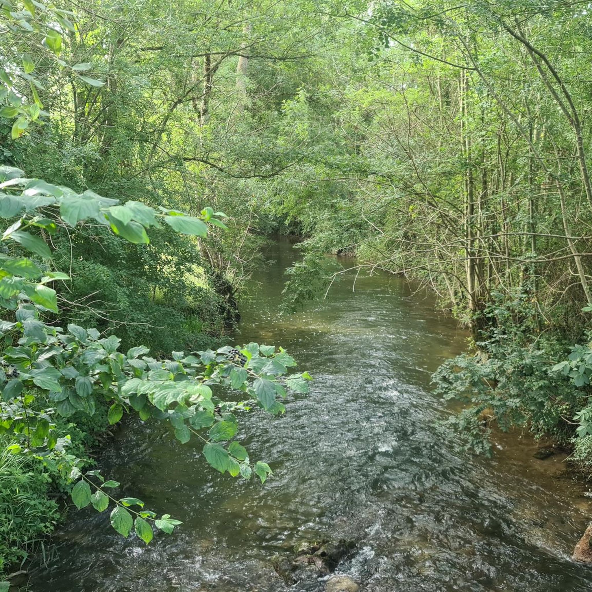
Absolutely. The region is defined by the Bonnieure and Tardoire rivers. The Trail of the Banks of the Charente is a popular moderate route that follows the Charente river. The arboretum is also located where the Tardoire and Bonnieure rivers converge, offering a scenic waterside environment.
Are there any historical sites to explore while hiking?
Yes, the area has historical significance. The 'Sentier du logis' trail, for instance, offers a chance to explore a Romanesque church and its bell tower, a historic dwelling, and several old mills. The Saint-Denis Church is also a notable historical landmark.
What is the best time of year to go hiking in Saint-Ciers-Sur-Bonnieure?
The diverse landscapes and gentle terrain make Saint-Ciers-Sur-Bonnieure appealing for hiking across multiple seasons. Spring and autumn offer pleasant temperatures and vibrant natural colors, while the shaded areas along rivers and in woods, like La Grande Fosse, provide cooler options during warmer summer months.
Are there any hidden gems or less-known trails to discover?
The region is known for having many 'hidden gems' for hikers. While specific routes vary, exploring the numerous local itineraries beyond the most popular ones can lead to tranquil spots and unique natural features, such as the arboretum or lesser-known sections of the Bonnieure riverbanks.
What are some longer hiking options available?
For those looking for longer hikes, the area offers several moderate routes. The Hiking loop from Fontclaireau is a substantial 16.2 km trail, and the Saint-Denis Church loop from Fontclaireau covers 14.4 km, providing a good challenge for a full day out.
Most popular routes around Saint-Ciers-Sur-Bonnieure
Most popular attractions around Saint-Ciers-Sur-Bonnieure

Get inspired with the komoot mobile app


Explore more
Browse the best Hikes in other regions.
