The best road cycling routes around Forest-Montiers
4.4
(87)
2,114
riders
140
rides
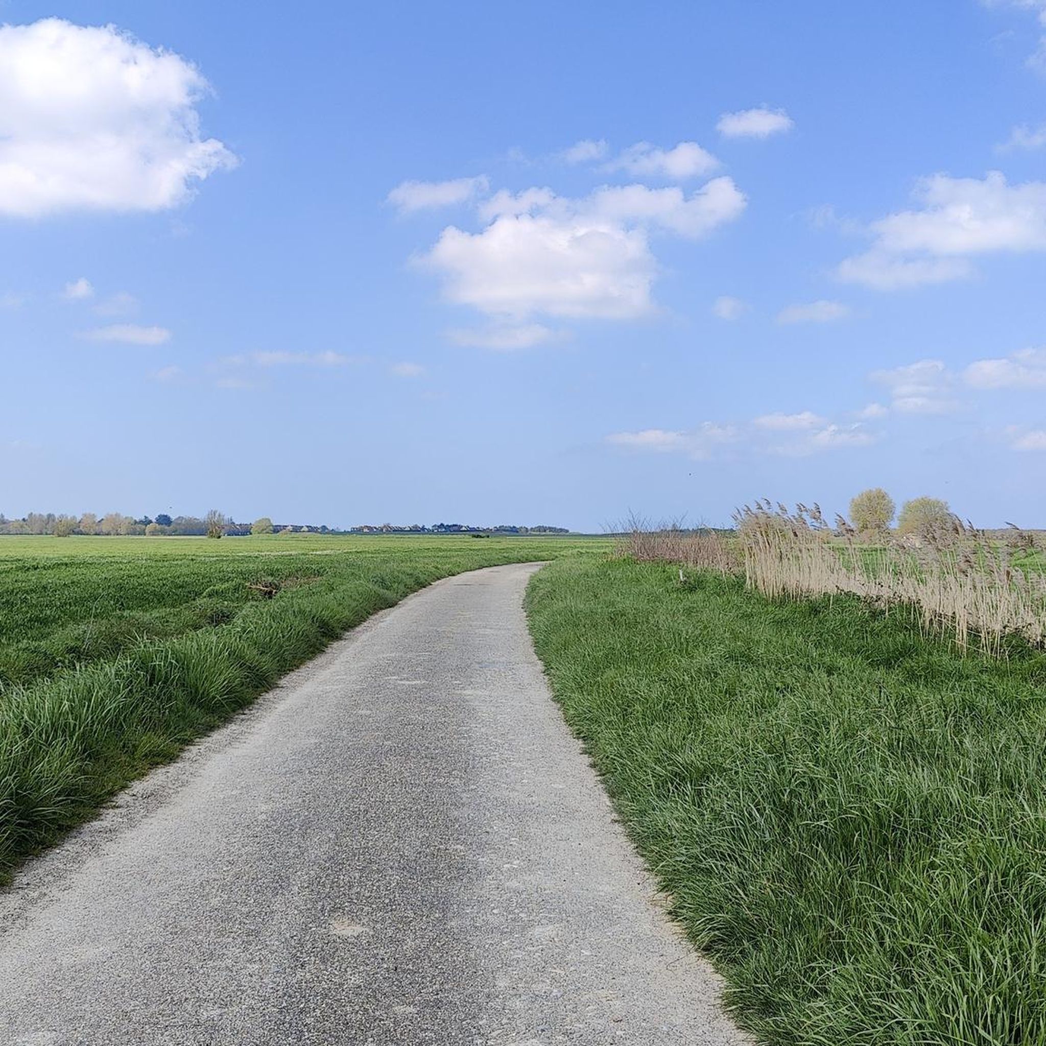
Road cycling routes around Forest-Montiers are characterized by a generally flat to gently rolling terrain, with an average elevation of 25 meters and a maximum of 52 meters. This makes the region highly suitable for road cyclists seeking accessible paths. The landscape features a mix of coastal areas near the Bay of Somme, marshlands, and significant woodlands like the Forêt de Crécy. These natural features provide varied scenery for cycling routes in Forest-Montiers.
Best road cycling routes around Forest-Montiers
- The…
Last updated: May 13, 2026
4.6
(10)
281
riders
73.7km
03:06
130m
130m
Moderate road ride. Good fitness required. Some segments of this route may be unpaved and difficult to ride.
5.0
(1)
40
riders
103km
04:26
180m
180m
Moderate road ride. Good fitness required. Some segments of this route may be unpaved and difficult to ride.

Sign up for free
4.0
(1)
23
riders
67.3km
02:48
320m
320m
Moderate road ride. Good fitness required. Some segments of this route may be unpaved and difficult to ride.
5.0
(1)
25
riders
111km
04:52
390m
390m
Moderate road ride. Good fitness required. Some segments of this route may be unpaved and difficult to ride.
3.0
(1)
17
riders
36.7km
01:39
70m
70m
Easy road ride. Great for any fitness level. Mostly well-paved surfaces and easy to ride.
Get access to more routes and recommendations from other explorers.
Sign up for free
Already have an account?
Our route recommendations are based on thousands of hikes, rides, and runs completed by other people on komoot.
Start today with a free account
Your next adventure awaits.
Login or Signup

Tips from the Community

The Fallen Madonna with the big b**bies is not here
0
0

A very worthwhile abbey, well worth a visit.
0
0
Very good, relatively new cycle path
0
0
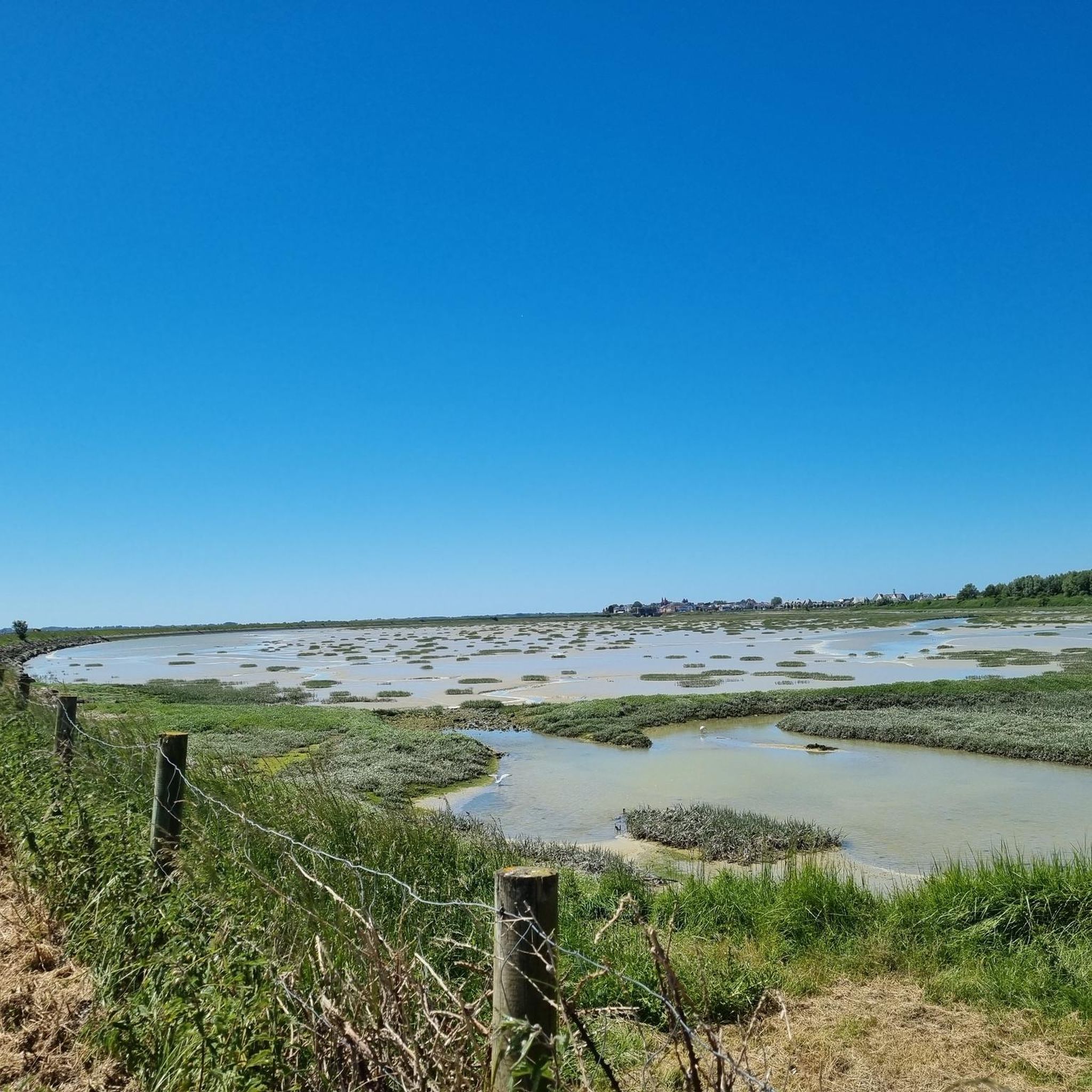
The Canche (Dutch: Kwinte) is a river in France, flowing through the Pas-de-Calais department in the Hauts-de-France region. It originates in the Ternois region, within the commune of Gouy-en-Ternois. Initially flowing southeast, it then turns northwest and, after approximately 100 kilometers, empties into the English Channel as an estuary north of Étaples and Le Touquet-Paris-Plage. Here, the Canche is strongly influenced by the tides. This results in significant fluctuations in the river's water level and the formation of extensive salt marshes.
0
0
Frequently Asked Questions
How many road cycling routes are available around Forest-Montiers?
There are over 130 road cycling routes around Forest-Montiers, offering a wide range of options for cyclists. These include 39 easy routes, 94 moderate routes, and a few more challenging options.
What is the typical terrain and difficulty for road cycling around Forest-Montiers?
The terrain around Forest-Montiers is generally flat to gently rolling, with an average elevation of 25 meters and a maximum of 52 meters. This makes the region highly suitable for road cyclists seeking accessible paths. Most routes are classified as easy to moderate, perfect for a relaxed ride.
What natural features and landscapes can I expect to see while road cycling in the Forest-Montiers region?
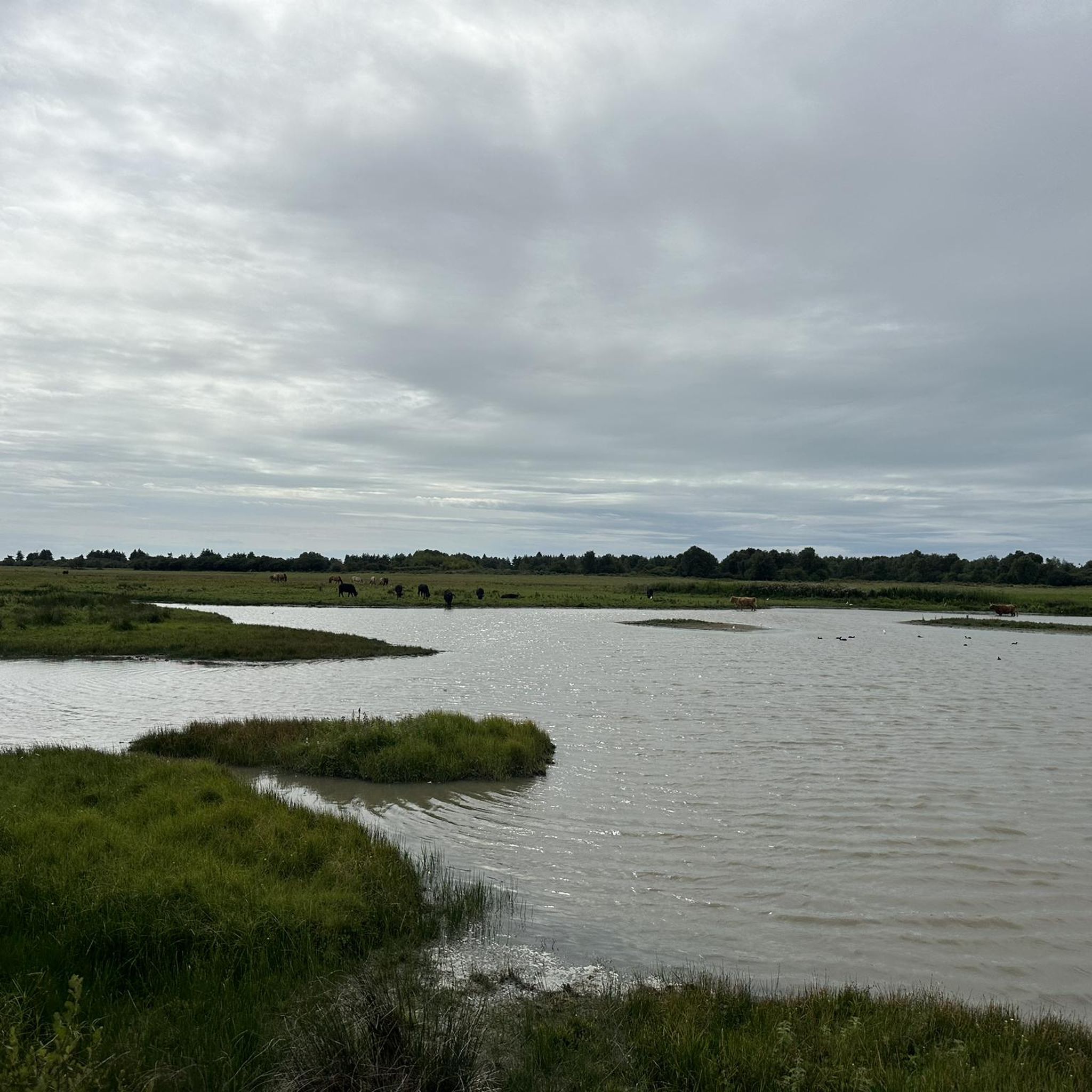
The region offers diverse landscapes, including coastal areas near the stunning Bay of Somme, marshlands like the Crotoy Municipal Marsh, and significant woodlands such as the Forêt de Crécy. You'll experience a mix of open vistas, natural reserves, and shaded forest paths.
Are there any specific scenic viewpoints or natural highlights along the road cycling routes?
Yes, many routes offer access to beautiful natural highlights. You can cycle past the unique On the Seagull Route, known for its biodiversity, or enjoy views of the Bay of Somme from places like Cape Hornu. The region is also home to the vast Forêt de Crécy, providing serene forest stretches.
What attractions can I explore near the road cycling routes in Forest-Montiers?
Beyond natural beauty, you can visit charming attractions such as the historic Port of Saint-Valery and the picturesque Saint-Valery-sur-Somme Old Town. The Le Crotoy Waterfront and Historic Murals are also popular, and the Valloires Abbey and Gardens offer a cultural stop.
Are there any family-friendly road cycling routes around Forest-Montiers?
Yes, the generally flat to gently rolling terrain makes many routes suitable for families. Easy routes, such as the Quend - Plage-les-pins – Quend Plage les Pins loop from Rue, are ideal for a relaxed family outing. The coastal paths often provide safe and enjoyable cycling experiences for all ages.
What do other road cyclists enjoy the most about road cycling in Forest-Montiers?
The area is highly rated by the komoot community, with an average score of 4.4 stars from over 100 reviews. Reviewers often praise the varied scenery, from coastal vistas to tranquil woodlands, and the accessibility of routes for different skill levels. The well-maintained paths and charming towns along the way are also frequently highlighted.
Are there any loop trails for road cycling in the Forest-Montiers area?
Yes, many of the road cycling routes around Forest-Montiers are designed as loops, allowing you to start and end in the same location. Popular examples include the Le Crotoy – Alfred Manessier Walk loop from Rue and the Valloires Abbey and Gardens – Alfred Manessier Walk loop from Rue.
Can I see wildlife while cycling in this region?
Absolutely. The Bay of Somme and its surrounding marshlands, particularly areas like the Crotoy Municipal Marsh and Parc du Marquenterre, are renowned for their rich biodiversity. Cyclists often spot various bird species, and sometimes even seals along the coast. The Forêt de Crécy also offers opportunities to observe forest wildlife.
What is the best time of year to go road cycling around Forest-Montiers?
The spring and summer months generally offer the most pleasant conditions for road cycling in Forest-Montiers, with milder temperatures and longer daylight hours. However, the coastal areas can be windy, so checking the weather forecast is always advisable. Autumn also provides beautiful scenery with changing foliage in the woodlands.
Are there any long-distance road cycling routes for experienced riders?
While the region is known for its gentle terrain, there are longer routes available for those seeking more distance. For example, the Hardelot Castle – Étaples military cemetery loop from Rue is a substantial 111.5 km (69.3 miles) route that takes approximately 4 hours 52 minutes to complete, traversing varied landscapes.
Where can I find information about parking for road cycling routes?
Many of the towns and villages along the cycling routes, such as Le Crotoy and Saint-Valery-sur-Somme, offer public parking facilities. It's advisable to check local signage for specific parking regulations and availability, especially during peak season.
Most popular routes around Forest-Montiers
Most popular attractions around Forest-Montiers

Get inspired with the komoot mobile app


Explore more
Browse the best Road cycling routes in other regions.
