The best walks and hikes around Montbéliardot
4.4
(270)
1,452
hikers
77
hikes
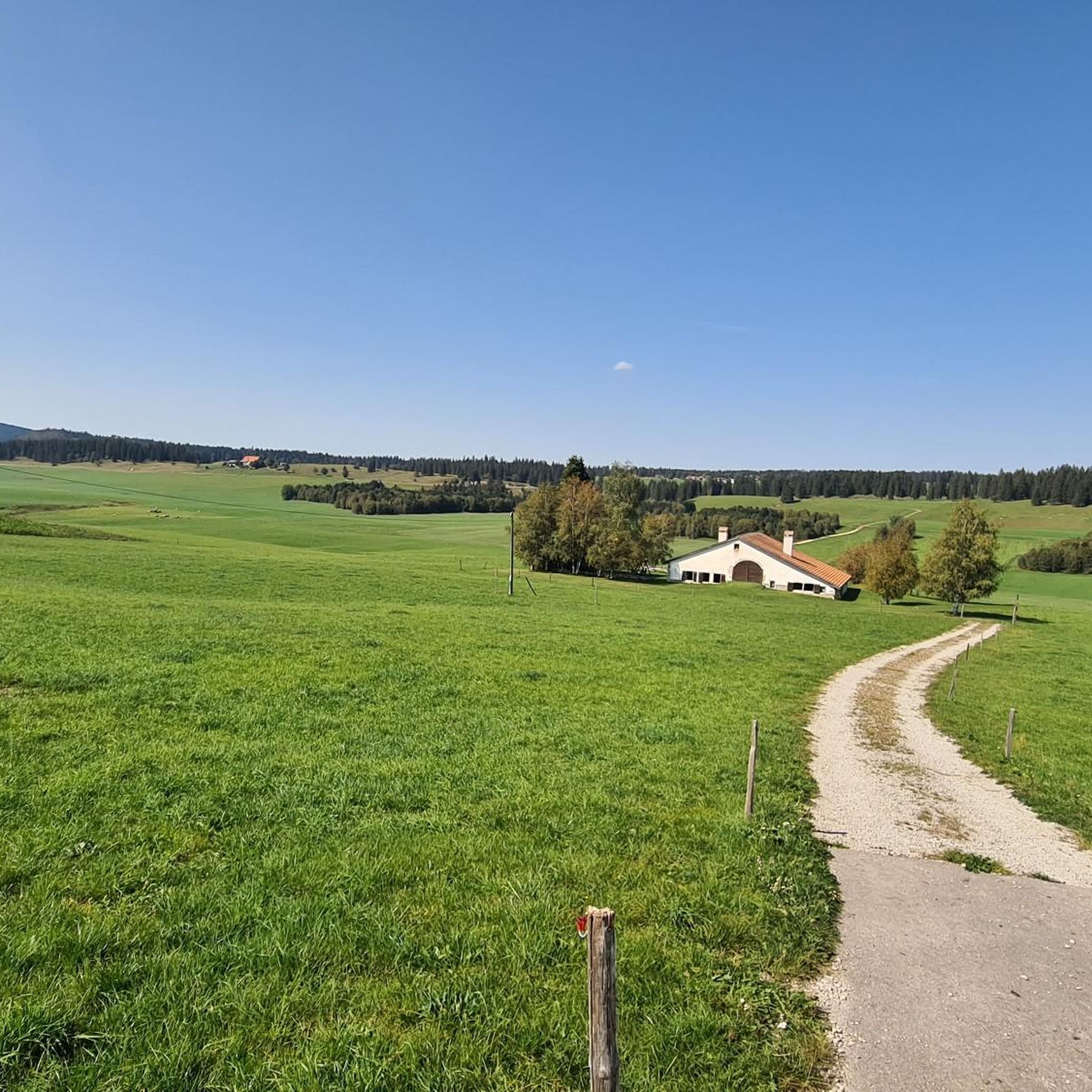
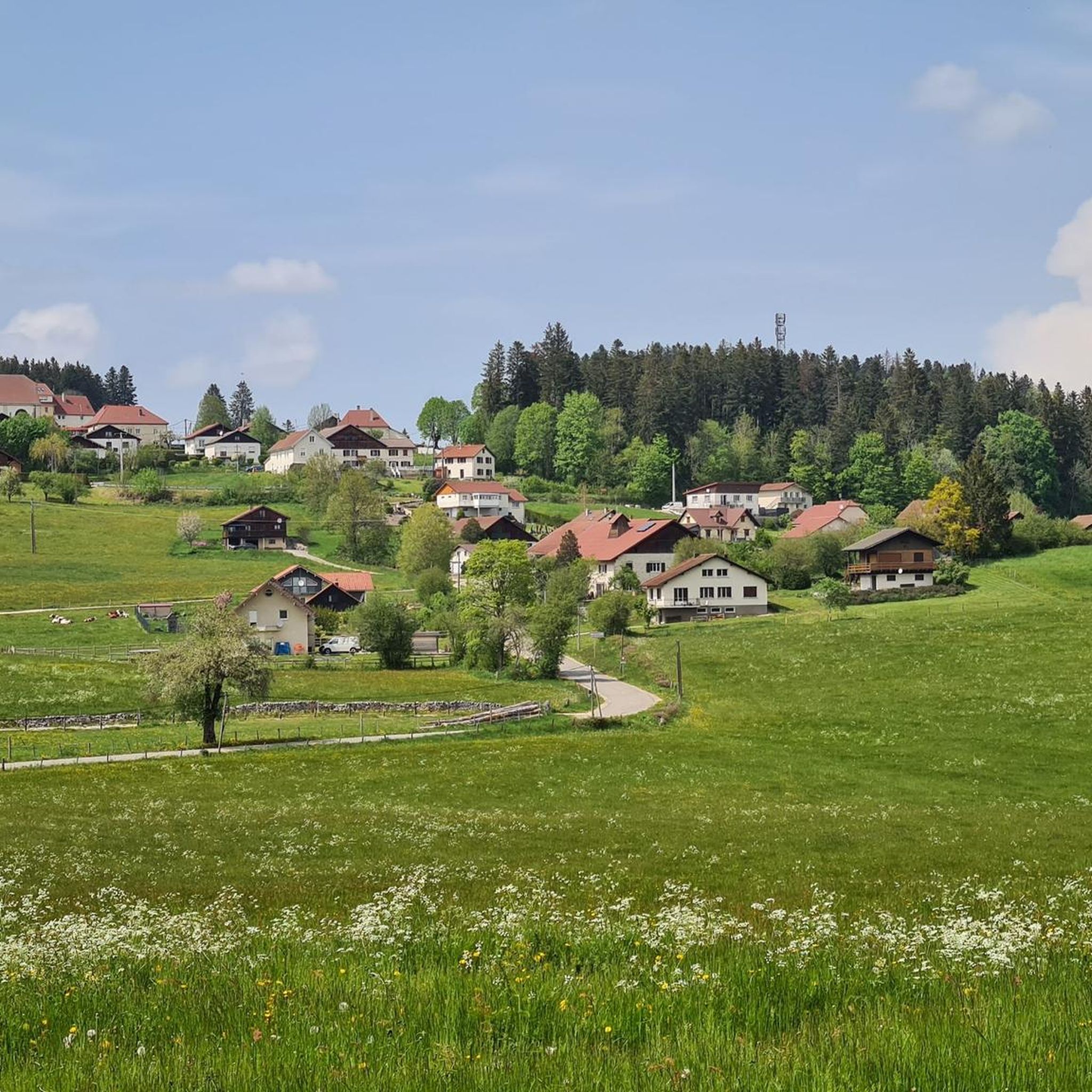
Hiking around Montbéliardot offers diverse landscapes characterized by rolling hills, dense forests, and significant water features. The region features notable geological formations like cirques and waterfalls, alongside tranquil lakes and wetlands. Trails often traverse varied terrain, providing opportunities to explore both natural and cultural points of interest.
Best hiking trails around Montbéliardot
- The most popular hiking route is Bernese Alps and Étang du Moulin Trail, a 5.8 miles (9.3 km) trail that takes 2 hours 35 minutes to complete.…
Last updated: August 2, 2026
4.3
(8)
35
hikers
9.26km
02:35
180m
170m
Moderate hike. Good fitness required. Easily-accessible paths. Suitable for all skill levels.
4.8
(27)
158
hikers
13.2km
04:16
520m
520m
Moderate hike. Good fitness required. Mostly accessible paths. Sure-footedness required.

Sign up for free
5.0
(2)
21
hikers
8.73km
03:03
410m
410m
Moderate hike. Good fitness required. Mostly accessible paths. Sure-footedness required.
5.0
(1)
8
hikers
6.12km
01:41
110m
110m
Easy hike. Great for any fitness level. Easily-accessible paths. Suitable for all skill levels.
4.3
(3)
23
hikers
2.99km
00:51
60m
60m
Easy hike. Great for any fitness level. Easily-accessible paths. Suitable for all skill levels.
Get access to more routes and recommendations from other explorers.
Sign up for free
Already have an account?
Our route recommendations are based on thousands of hikes, rides, and runs completed by other people on komoot.
Start today with a free account
Your next adventure awaits.
Login or Signup



Tips from the Community

A little corner of freshness which is very welcome in summer. From here you see the Dessoubre river being born in a succession of small waterfalls which emanate from the rocks of the Cirque de Consolation.
1
0

The Dessoubre has its source in the Cirque de Consolation, at Consolation-Maisonnettes, and meanders through this superb valley. The valley is also classified as ZNIEFF (natural zone of ecological, fauna and flora interest), which means that it is a natural space considered remarkable. The Consolation site itself is also known for its monastery, viewpoints, waterfalls and botanical gardens.
1
0

Moulin Pond View is a scenic spot that offers panoramic views of the pond and surrounding forest, where you can enjoy the tranquility and beauty of nature.
2
0
The Roche du Prêtre offers a breathtaking view of the Cirque de Consolation below as well as the forests and hills of the region.
2
0
Whether you visit the waterfall in full flow or not, this circus has something to offer. The deafening roar of flowing water contrasts with the majesty and serene tranquility of the circus in times of drought.
2
0
Highest point, before descending there, observe the Cirque de Consolation from the Roche du Prêtre.
2
0

Picturesque place for a little break!
1
0
Frequently Asked Questions
How many hiking trails are available around Montbéliardot?
There are over 60 hiking routes around Montbéliardot listed on komoot, offering a wide range of options for different skill levels and interests. These trails are highly rated by the komoot community, with an average score of 4.4 stars.
Are there easy hiking trails suitable for beginners in Montbéliardot?
Yes, Montbéliardot offers several easy hiking trails perfect for beginners or those looking for a relaxed stroll. For example, the Tourbières des Guillemins loop from Le Mémont is an easy 3.8-mile (6.1 km) trail leading through unique wetlands. Another gentle option is the View of the Étang du Moulin loop from Bonnétage, which is just under 3 miles (4.8 km) and offers pleasant views.
Can I find family-friendly hiking routes in Montbéliardot?
Many of the easier trails around Montbéliardot are suitable for families. The region's diverse landscapes, including lakes and forests, provide engaging environments for children. Look for routes with shorter distances and minimal elevation gain, such as those around the Étang du Moulin, which offer scenic views without being overly strenuous.
Are there any circular hiking routes in the Montbéliardot area?
Yes, Montbéliardot features several circular hiking routes. A notable one is the Consolation Cirque – Lançot Waterfall loop from Mont-de-Laval, which is a moderate 8.4-mile (13.5 km) path exploring dramatic natural formations. Another option is the Lançot Waterfall – Consolation Cirque loop from Mont-de-Laval, a slightly shorter moderate loop.
What kind of natural attractions or viewpoints can I expect to see on hikes?
Hiking around Montbéliardot offers diverse natural attractions. You can explore significant geological formations like the Consolation Cirque, tranquil wetlands at the Tourbières des Guillemins, and enjoy views towards the Bernese Alps on routes like the Bernese Alps and Étang du Moulin Trail. The region is also known for its picturesque valleys, such as the Dessoubre Valley and Val de Consolation.
Are there trails where I can see waterfalls?
Absolutely. The Montbéliardot region is home to several beautiful waterfalls. The Lançot Waterfall is a prominent feature, often included in loops around the Consolation Cirque. You can also discover the Source of the Dessoubre and the Némorin Shelter and Waterfall, offering refreshing sights along your hike.
What do other hikers say about the trails in Montbéliardot?
The hiking trails in Montbéliardot are highly regarded by the komoot community, with an average rating of 4.4 stars from over 230 reviews. Hikers frequently praise the region's varied landscapes, from dense forests and rolling hills to dramatic cirques and serene wetlands. The well-maintained paths and natural beauty are often highlighted as key reasons for the positive feedback.
What is the best time of year to go hiking in Montbéliardot?
The best time for hiking in Montbéliardot is generally from spring through autumn (April to October). During these months, the weather is milder, and the natural scenery, including the wetlands and forests, is at its most vibrant. Spring brings blooming flora, while autumn offers stunning fall foliage. Some trails may be accessible in winter, but conditions can be challenging due to snow and ice.
Are dogs allowed on the hiking trails in Montbéliardot?
Many trails in the Montbéliardot region are dog-friendly, allowing you to enjoy the natural beauty with your canine companion. However, it's always recommended to keep dogs on a leash, especially in areas with wildlife or near livestock, and to check for any specific local regulations or signage on individual routes.
Are there hiking trails with convenient parking in Montbéliardot?
Most popular hiking routes in Montbéliardot, especially those starting from villages or known natural sites, typically have designated parking areas nearby. It's advisable to check the starting point details on komoot for specific routes to confirm parking availability and any associated fees before your trip.
Most popular attractions around Montbéliardot

Get inspired with the komoot mobile app


Explore more
Browse the best Hikes in other regions.
