The best walks and hikes around Charny
4.5
(347)
2,180
hikers
158
hikes
Hiking around Charny offers a diverse landscape characterized by agricultural fields, pockets of regional forests, and gentle hills. The region features a network of trails that often lead past tranquil lakes and historical sites. Elevation changes are generally mild, making many routes accessible for various fitness levels.
Best hiking trails around Charny
- The most popular hiking route is Lac de Jablines – Bench With a View of the Lake loop from Annet-sur-Marne, a 4.4 miles (7.2 km) trail that…
Last updated: August 1, 2026
4.8
(24)
161
hikers
Easy hike. Great for any fitness level. Easily-accessible paths. Suitable for all skill levels.
4.7
(6)
37
hikers
6.87km
01:50
70m
70m
Easy hike. Great for any fitness level. Easily-accessible paths. Suitable for all skill levels.

Sign up for free
4.5
(2)
17
hikers
Moderate hike. Good fitness required. Easily-accessible paths. Suitable for all skill levels.
2.5
(2)
7
hikers
8.30km
02:16
110m
110m
Moderate hike. Good fitness required. Easily-accessible paths. Suitable for all skill levels.
10
hikers
4.10km
01:06
40m
40m
Easy hike. Great for any fitness level. Easily-accessible paths. Suitable for all skill levels.
Get access to more routes and recommendations from other explorers.
Sign up for free
Already have an account?
Our route recommendations are based on thousands of hikes, rides, and runs completed by other people on komoot.
Start today with a free account
Your next adventure awaits.
Login or Signup

Tips from the Community

Superb in spring!
0
0
Nothing too difficult to discover the Geodesic Tower, a very beautiful forest in spring
0
0

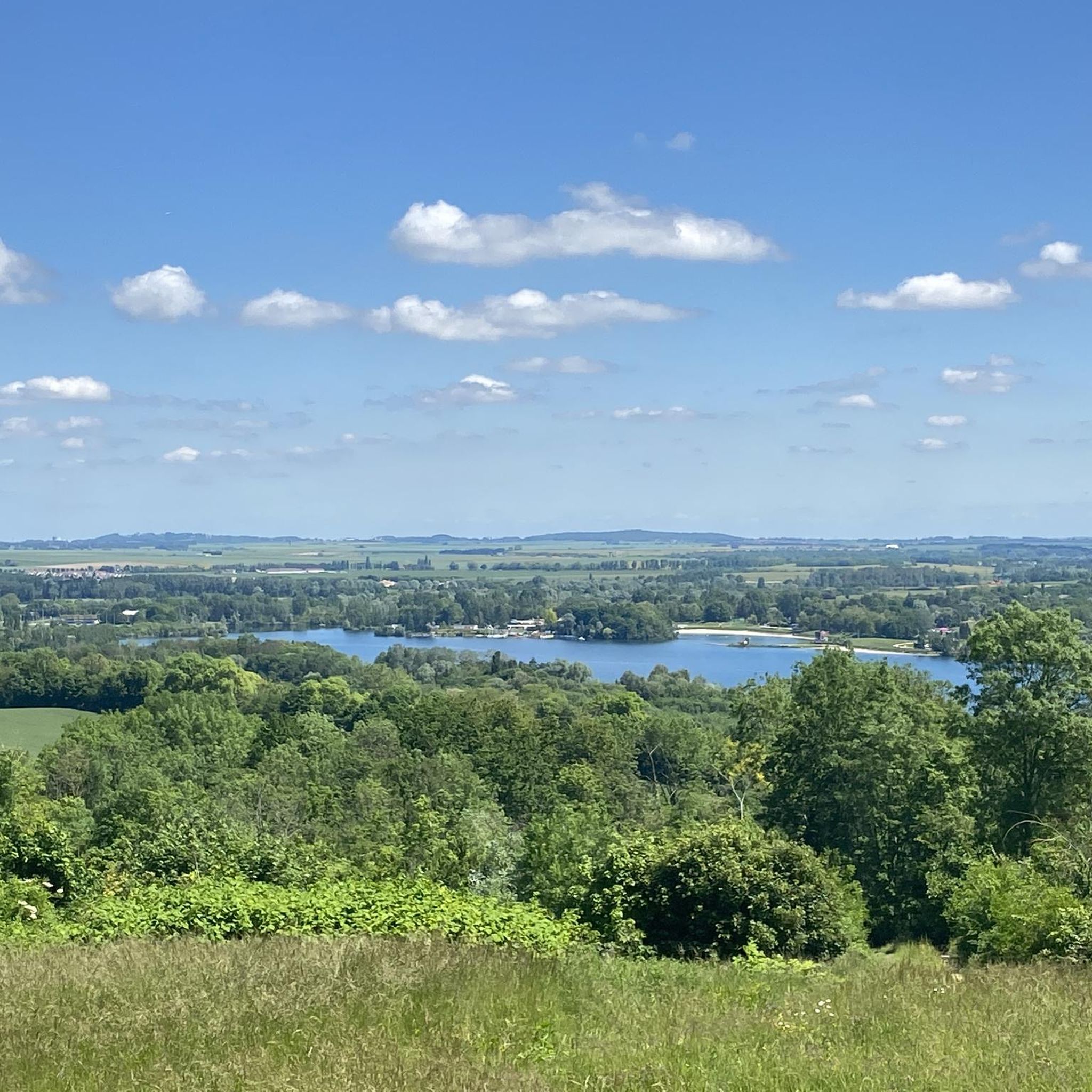
Great lake landscape where you can take a lovely walk.
1
0

The Butte de Montassis culminates at an altitude of 163m and dominates the surroundings. There is at its top a curious structure which is a geodesic chimney. This is used to measure the distances, dimensions and shapes of the Earth. This place is also a Sensitive Natural Area, so be sure to respect nature and its fauna, you may have a (very) small chance of even a badger (which remains a very discreet and nocturnal animal).
0
0

The forest of Montgé-en-Goële is a very beautiful site which will delight sports enthusiasts including hikers. Take the opportunity to take a family outing or with your four-legged friend. The shaded paths lend themselves particularly well to quiet picnics, provided you respect the environment.
3
0

Frequently Asked Questions
How many hiking trails are available around Charny?
Charny offers a wide variety of hiking experiences, with over 140 routes available. These range from easy strolls through fields to more moderate excursions through forests and past historical sites.
Are there many easy hiking trails in Charny?
Yes, Charny is well-suited for hikers of all levels. Approximately 67 of the available routes are classified as easy, making them perfect for a relaxed outing. An example is the Lac de Jablines – Bench With a View of the Lake loop from Annet-sur-Marne, which is an easy 4.4-mile (7.2 km) trail.
What is the typical length of hikes in Charny?
Hikes in Charny vary in length, but many popular routes are between 4 to 10 miles (6 to 16 km). For instance, the Forêt régionale de Montgé loop from Cuisy is about 4.3 miles (6.9 km), while the View of the Barley Field – Montassis Hill loop from Chauconin-Neufmontiers covers 6.2 miles (10.1 km).
Are there family-friendly hiking options in Charny?
Absolutely. The region's generally mild elevation changes and numerous easy trails make it ideal for families. Routes through regional forests or along tranquil lakes, like those near Jablines-Annet Leisure Centre, are often suitable for all ages.
Can I find circular hiking routes in Charny?
Yes, many of the trails around Charny are designed as circular routes, allowing you to start and end at the same point. This is convenient for parking and exploring without needing to retrace your steps. Examples include the Mémorial US air force loop from Cuisy.
When is the best time of year to go hiking in Charny?
The best time to hike in Charny is typically from spring through autumn (April to October). During these months, the weather is generally pleasant, and the landscapes, from blooming fields to lush forests, are at their most vibrant. Winter hiking is also possible, though some paths might be muddy.
What kind of scenery can I expect on the trails around Charny?
Hikers in Charny can expect diverse scenery, including expansive agricultural fields, dense regional forests, and gentle rolling hills. Many routes also feature tranquil lakes, such as Étang de la Grue, and occasional historical sites, offering a varied and picturesque experience.
Are there any interesting landmarks or attractions to see along the hiking trails?
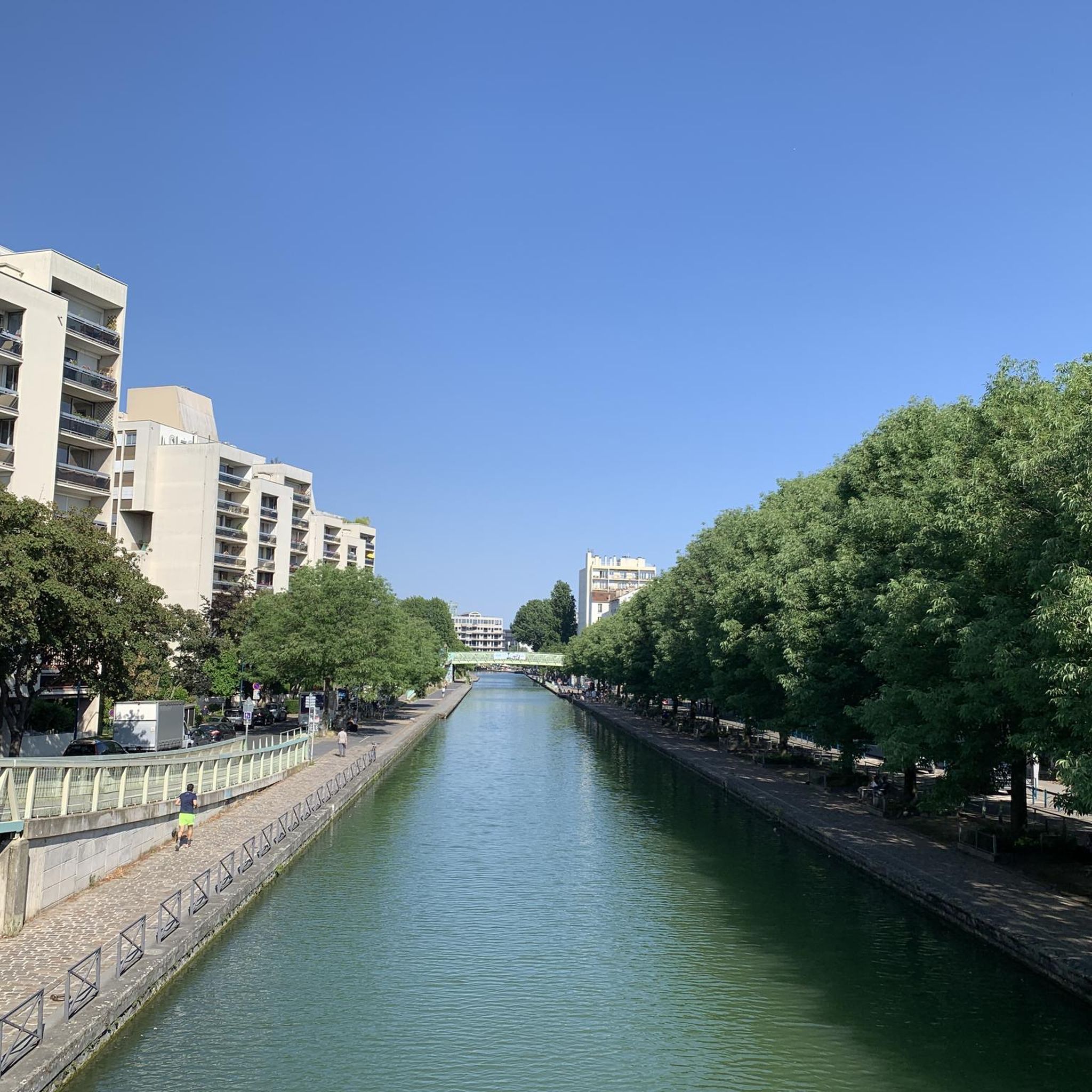
Yes, the Charny area has several points of interest. You might encounter historical sites or natural features like the Canal de L'ourcq or the Nantouillet Castle loop from Gressy. The region also features the Marne Statues Park.
Is parking readily available for hikers in Charny?
While specific parking details vary by trailhead, many routes in Charny start from villages or designated parking areas. It's always advisable to check the individual route descriptions on komoot for the most accurate information regarding parking facilities at your chosen starting point.
What do other hikers enjoy most about hiking in Charny?
The komoot community highly rates hiking in Charny, with an average score of 4.5 stars from over 300 reviews. Hikers frequently praise the region's diverse and accessible terrain, from quiet woodlands to open fields, and the well-maintained network of trails that cater to various fitness levels.
Can I bring my dog on hikes in Charny?
Generally, dogs are welcome on trails in the Charny region, especially if kept on a leash. However, it's always good practice to check local regulations or specific route details, particularly when passing through nature reserves or private land, to ensure a pleasant experience for everyone.
Are there opportunities for winter hiking in Charny?
Yes, hiking in Charny is possible during winter, though conditions can vary. The gentle terrain means most trails remain accessible, but some paths might be muddy or occasionally icy. Dressing in layers and wearing appropriate footwear is recommended for a comfortable winter hike.
Most popular attractions around Charny

Get inspired with the komoot mobile app


Explore more
Browse the best Hikes in other regions.
