The best walks and hikes around Moiron
4.4
(543)
3,108
hikers
127
hikes
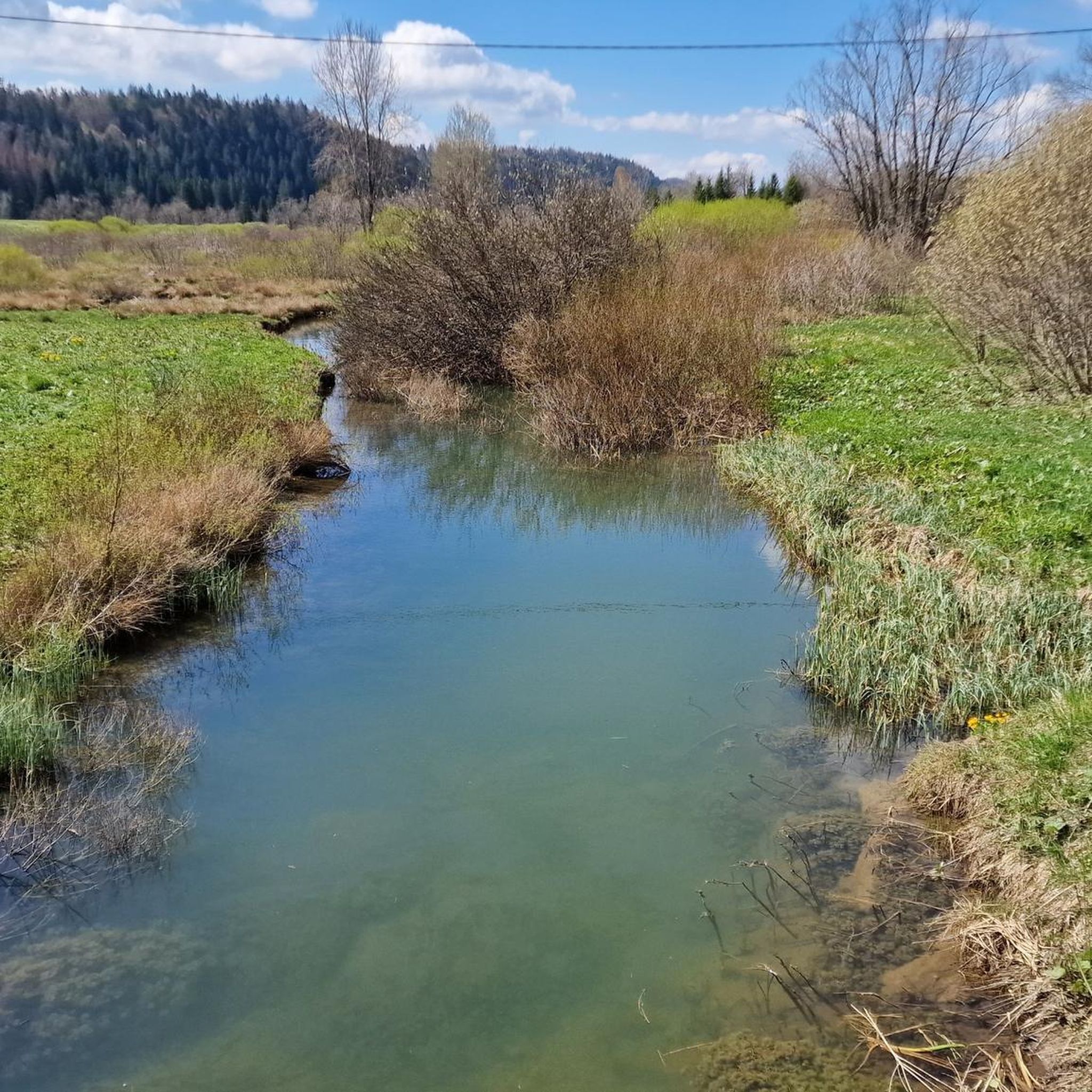
Hiking around Moiron, France, offers a diverse landscape characterized by rolling hills, wooded areas, and elevated viewpoints. The region features a mix of moderate ascents and gentler paths, providing varied terrain for outdoor activities. Trails often lead through forests and open countryside, with opportunities to experience the natural environment of the Jura department. The area's topography includes distinct ridges and elevated sections, offering hikers panoramic vistas.
Best hiking trails around Moiron
- The most popular hiking route is Montaigu loop from…
Last updated: October 9, 2026
4.8
(5)
35
hikers
9.63km
02:50
280m
280m
Moderate hike. Good fitness required. Easily-accessible paths. Suitable for all skill levels.
5.0
(4)
24
hikers
12.2km
03:24
230m
230m
Moderate hike. Good fitness required. Easily-accessible paths. Suitable for all skill levels.

5.0
(1)
35
hikers
3.28km
00:57
80m
80m
Easy hike. Great for any fitness level. Easily-accessible paths. Suitable for all skill levels.
4.3
(9)
24
hikers
8.42km
02:33
270m
270m
Moderate hike. Good fitness required. Easily-accessible paths. Suitable for all skill levels.
4.6
(5)
15
hikers
4.15km
01:21
200m
200m
Easy hike. Great for any fitness level. Easily-accessible paths. Suitable for all skill levels.
Get access to more routes and recommendations from other explorers.
Already have an account?
Our route recommendations are based on thousands of hikes, rides, and runs completed by other people on komoot.
Start today with a free account
Your next adventure awaits.

Tips from the Community

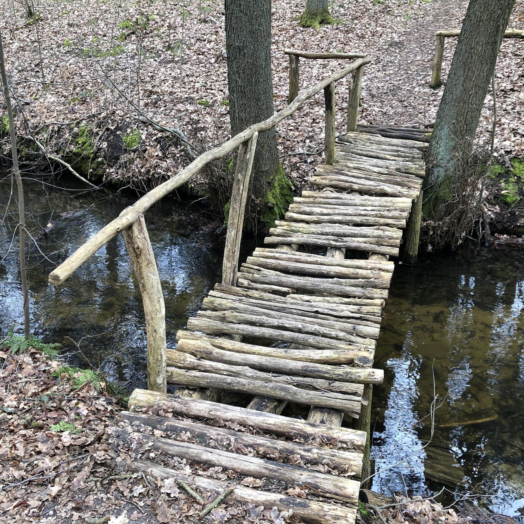
It goes steeply downhill here. Danger of slipping in wet weather!!!
0
0

Beautiful resting place with wonderful views.
1
0
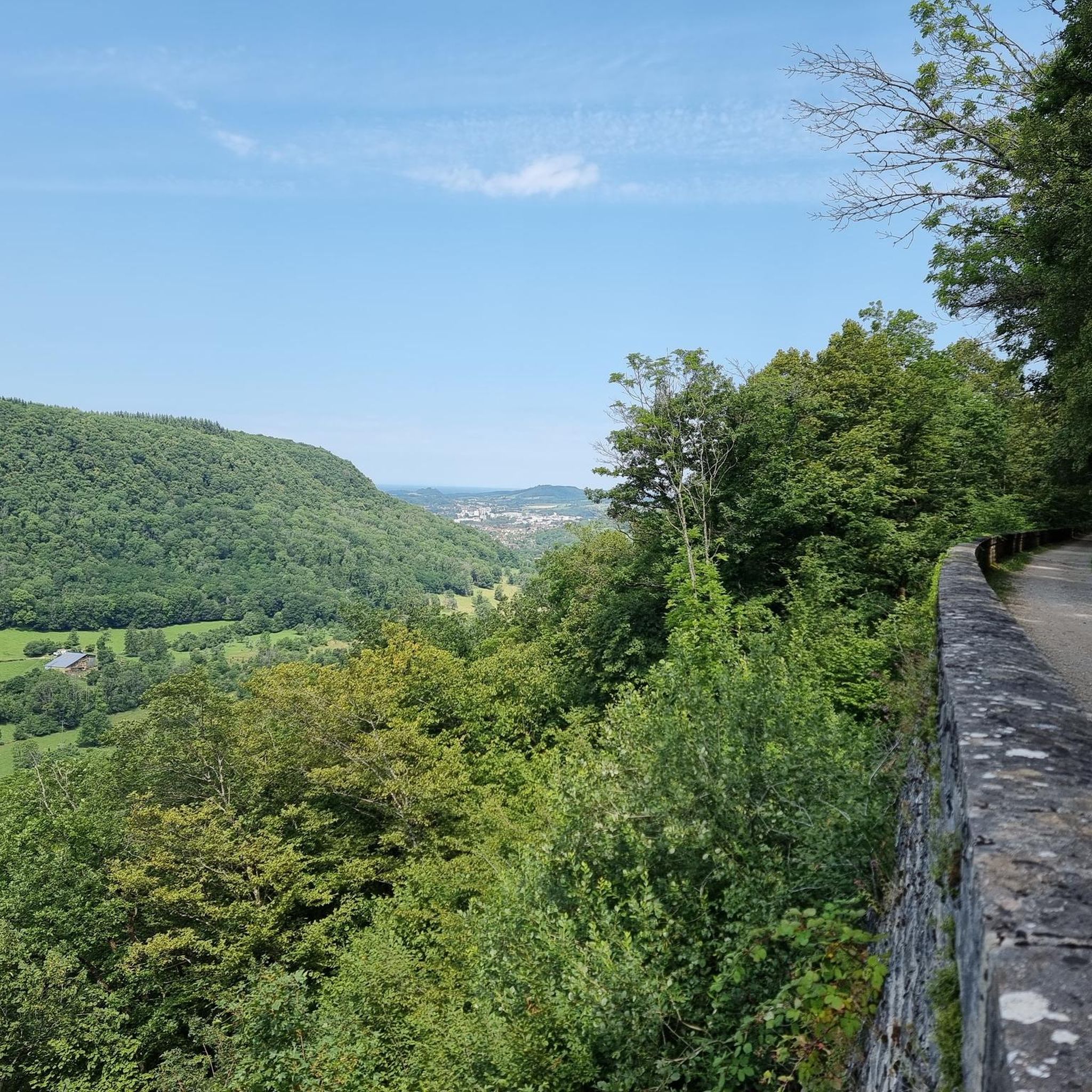
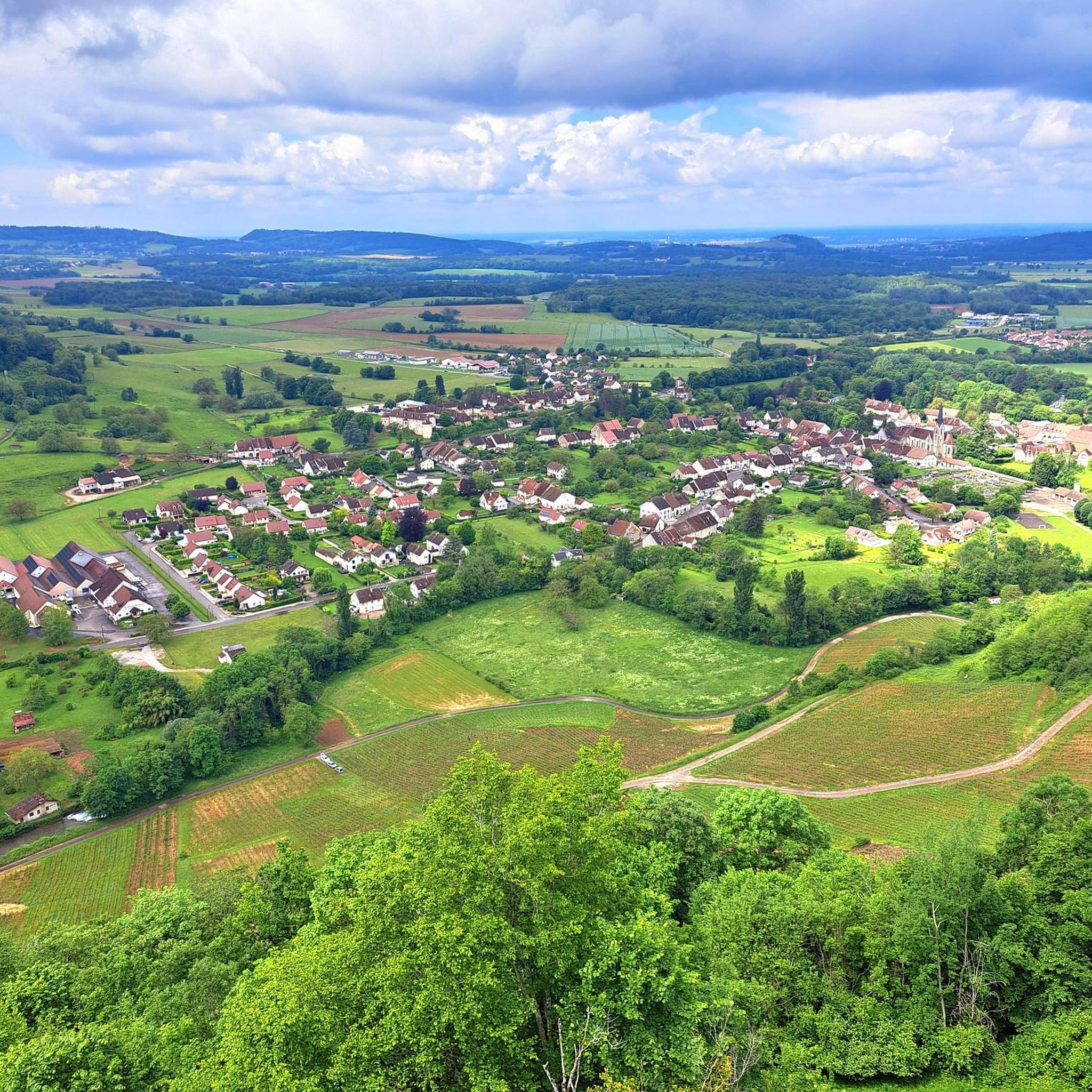
From Montaigu you have a wonderful view of Long-le-Saunier.
2
0

The Montorient belvedere offers an unobstructed 180 degree view. From there you can see Lons-le-Saunier. An orientation table allows you to find your bearings. It is an ideal place for a break or a picnic.
1
0
On the foothills of the first plateau of the Jura, Montaigu offers a plunging view of Lons-le-Saunier. The village has seen the growth of rouget de Lisle, composer of “La Marseillaise”. Montaigu separates and overlooks two remote valleys (Revigny and Vernantois) whose marly slopes, at the foot of the limestone cliffs, are very favorable for growing vines.
1
0
This ridge path offers a breathtaking view of the Bresse. You progress here in the middle of green meadows. I recommend that you stop at the Vuarde belvedere where the panorama is the clearest.
1
0

Nice view on Lons le Saunier and surroundings with pic nic table
2
0
Frequently Asked Questions
What kind of terrain can I expect when hiking around Moiron?
Hiking around Moiron offers a diverse landscape with rolling hills, wooded areas, and elevated viewpoints. You'll find a mix of moderate ascents and gentler paths, often leading through forests and open countryside. The region's topography includes distinct ridges, providing opportunities for panoramic vistas over the Jura department.
Are there many easy hiking trails suitable for beginners in Moiron?
Yes, Moiron offers a good selection of easy trails. Out of over 140 routes in the area, 63 are classified as easy. An example of an accessible route is the Montorient Viewpoint loop from Courbouzon, which is 2.6 miles (4.2 km) long.
What are the typical durations for hikes in the Moiron area?
Hikes around Moiron vary in length and duration. Many popular routes, such as the Montaigu loop from Macornay (6.1 miles / 9.8 km), can take around 2 hours 53 minutes. Longer moderate trails, like the Montorient Viewpoint – The Revermont ridges loop from Geruge (7.4 miles / 11.9 km), typically take about 3 hours 19 minutes.
Are there any circular walking routes available in Moiron?
Yes, many of the trails around Moiron are circular, allowing you to start and end at the same point. Examples include the Steiles Wegstück loop from Macornay, which is 5.0 miles (8.1 km) long, and the Château de Gevingey – Montorient Viewpoint loop from Courbouzon, covering 7.8 miles (12.5 km).
What interesting natural attractions can I see near the hiking trails?
The Moiron area is rich in natural beauty. You can discover impressive features like the Baume-les-Messieurs Tufa Waterfall and the Grottes de Baumes — Waterfall and Cave. For stunning vistas, visit the Roches Viewpoint, offering an overlook of the Baume-les-Messieurs reculée, or the dramatic Cirque of the Daume Cliffs.
What do other hikers say about the trails in Moiron?
The hiking trails in Moiron are highly regarded by the komoot community, with an average rating of 4.5 stars from over 400 reviews. Hikers often praise the varied forest paths, scenic viewpoints, and the overall natural beauty of the Jura department.
Are there any specific viewpoints or panoramic spots along the trails?
Yes, the region is known for its elevated sections and viewpoints. The Montorient Viewpoint – The Revermont ridges loop from Geruge specifically highlights panoramic views from the Revermont ridges. Many trails also offer scenic overlooks through wooded hillsides.
What is the best time of year to go hiking in Moiron?
The best time to hike in Moiron is generally from spring through autumn (April to October) when the weather is mild and the natural landscape is vibrant. During these months, trails are typically clear, and you can fully enjoy the wooded areas and open countryside. Winter hiking is possible but may require appropriate gear for colder conditions.
Are there any less crowded hiking options around Moiron?
While some routes are popular, Moiron offers a wide network of over 140 trails, providing many opportunities to find quieter paths. Exploring some of the less-trafficked easy or moderate routes, especially during weekdays or outside of peak holiday seasons, can lead to a more serene experience.
What should I bring for a hike in Moiron?
For hiking in Moiron, it's advisable to bring appropriate footwear for varied terrain, including forest paths and potentially uneven surfaces. Water, snacks, sun protection, and layers of clothing are recommended, as conditions can change, especially at elevated viewpoints. A map or GPS device is also useful for navigation.
Are there any historical or cultural landmarks to explore near the hiking routes?
Beyond natural wonders, you can find points of interest like the Tunnel de la Diane (Voie PLM), which offers a glimpse into local infrastructure history. Additionally, the Statue of Rouget de Lisle is another notable landmark in the vicinity.
Most popular attractions around Moiron

Get inspired with the komoot mobile app


Explore more
Browse the best Hikes in other regions.
