The best running trails around Courtetain-Et-Salans
4.8
(6)
199
runners
32
runs
Jogging around Courtetain-Et-Salans offers diverse terrain within the Doubs department of Burgundy-Franche-Comté. The commune is situated in a valley, with surrounding ridges reaching altitudes between 530 and 726 meters, providing varied landscapes for running. The region features natural attractions such as gorges, river valleys, and natural springs, alongside cliff and rock formations. This mix of valley bottoms and inclines along crests ensures a range of running experiences.
Best jogging routes around Courtetain-Et-Salans
- The most popular jogging route is Running loop…
Last updated: November 6, 2026
13
runners
7.00km
00:50
150m
150m
Moderate run. Good fitness required. Mostly paved surfaces.
11
runners
18.4km
02:21
620m
620m
Hard run. Very good fitness required. Mostly paved surfaces.

10
runners
11.9km
01:27
380m
380m
Hard run. Very good fitness required. Mostly paved surfaces.
7
runners
14.1km
01:50
420m
420m
Hard run. Very good fitness required. Mostly paved surfaces.
8
runners
11.2km
01:20
180m
180m
Moderate run. Good fitness required. Mostly paved surfaces.
Get access to more routes and recommendations from other explorers.
Already have an account?
Our route recommendations are based on thousands of hikes, rides, and runs completed by other people on komoot.
Start today with a free account
Your next adventure awaits.


Tips from the Community

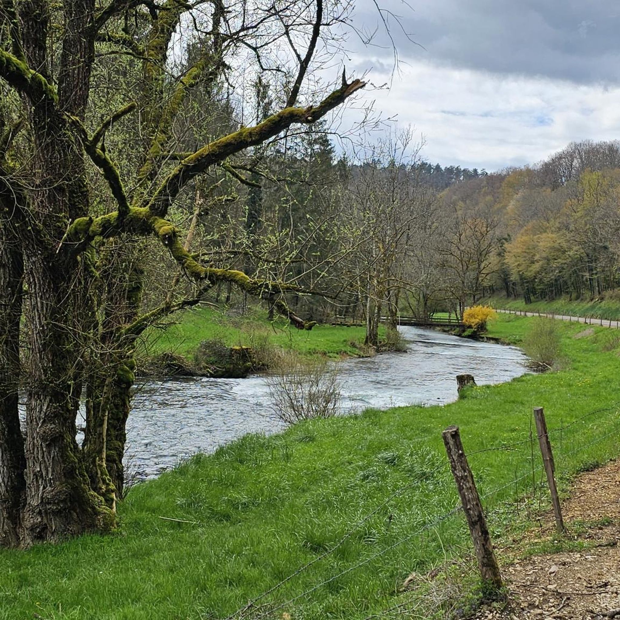
Pont-les-Moulins is a street village located on the banks of the Cusancin. Here, the architecture is typical of the region. It’s an ideal place for a quiet stroll.
0
0
The green spring or the Cuse is located on the left side of the river at approximately the same height as the blue spring. This is the true source of Cusancin. The upper gallery of the cave was walled with dry stones.
0
0
The blue spring is a Vauclusian spring which emerges in an oval basin. Its depth is nine meters. Divers explored the submerged gallery over a length of 220 meters before stumbling upon a narrowing which was not crossed. The gallery is made up of two siphons. The turquoise blue waters give it its name.
1
0

As the name suggests, this water is crystal clear sea blue. Is it worth visiting and maybe taking a dip?
2
0
Frequently Asked Questions
How many running routes are available in Courtetain-Et-Salans?
There are over 30 dedicated running routes around Courtetain-Et-Salans, offering a variety of distances and difficulties to suit different preferences.
What kind of terrain can I expect on the running trails in this region?
The region offers diverse terrain, from flat paths in the valley bottoms to more challenging inclines along the surrounding ridges, which reach altitudes between 530 and 726 meters. You'll find a mix of forest trails, open countryside, and paths alongside natural water features.
Are there easy jogging routes suitable for beginners?
Yes, Courtetain-Et-Salans has several easy jogging routes. For example, the Running loop from Passavant is an easy 4.5 km path, perfect for a gentle run.
Are there challenging running routes with significant elevation changes?
Absolutely. For those seeking a challenge, routes like La Source bleue – The Blue Spring loop from Guillon-les-Bains offer significant elevation changes over its 18.4 km distance, exploring the area around the tranquil Blue Spring with demanding ascents and descents.
What natural attractions or landmarks can I see while jogging?
Many routes offer scenic views and pass by notable natural features. You might encounter impressive gorges like the Gorges du Doubs, natural springs such as the Cusancin spring or La Source bleue, and dramatic rock formations like the Grange-Ravey cliffs and Rochers de Sous-Buen.
Are there any circular running routes in the area?
Yes, many of the running routes around Courtetain-Et-Salans are circular, allowing you to start and finish at the same point. An example is the Running loop from Courtetain-et-Salans, which is a moderate 11.1 km trail.
Can I bring my dog on the running trails?
Generally, the natural trails in the Courtetain-Et-Salans region are dog-friendly. However, it's always recommended to keep your dog on a leash, especially in areas with wildlife or near agricultural land, and to check for any specific local regulations or protected areas.
Are there family-friendly jogging options?
Yes, the region offers several routes suitable for families. Look for the 'easy' graded routes, which typically have less elevation and are shorter in distance, providing a pleasant experience for all ages. The valley bottoms often provide gentler paths.
What do other runners say about the trails in Courtetain-Et-Salans?
The running routes in Courtetain-Et-Salans are highly rated by the komoot community, with an average score of 4.8 stars from 6 reviews. Runners often praise the varied landscapes, the tranquility of the natural settings, and the well-maintained paths that offer a total immersion in nature.
Is parking available near the trailheads?
Parking is generally available in or near the villages where many routes begin, such as Courtetain-et-Salans itself, Vercel-Villedieu-le-Camp, or Pont-les-Moulins. Specific parking details can often be found on individual route pages on komoot.
When is the best time of year to go running in Courtetain-Et-Salans?
The region is beautiful for running throughout much of the year. Spring and autumn offer pleasant temperatures and vibrant scenery. Summer is also great, especially in the cooler morning or late afternoon, while winter can provide unique snowy landscapes for those prepared for colder conditions.
Are there routes that pass by significant water features or waterfalls?
Yes, the region is rich in water features. You can find routes that explore the Loue Valley with its river, or pass by impressive sites like the Gorges du Doubs, which feature waterfalls. The La Source bleue is another beautiful water-related highlight.
Most popular routes around Courtetain-Et-Salans
Most popular attractions around Courtetain-Et-Salans

Get inspired with the komoot mobile app


Explore more
Browse the best Running Trails & Routes in other regions.
