The best walks and hikes around Mercy
4.5
(17)
104
hikers
22
hikes
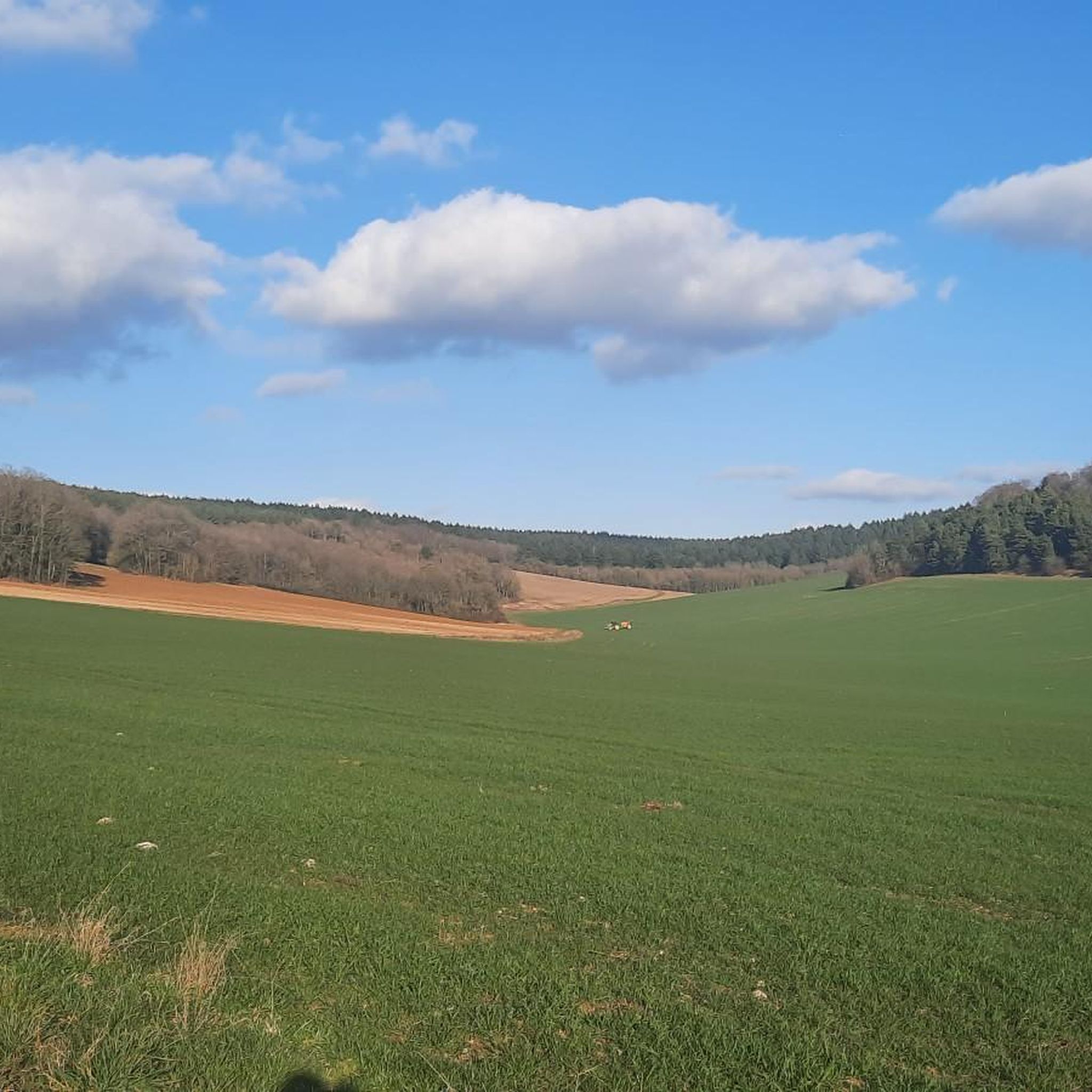
Hiking around Mercy offers access to trails characterized by waterways and gentle elevations. The region features paths along canals, through agricultural landscapes, and past small villages. Terrain varies from wide, flat canal towpaths to slightly undulating dirt trails. The area provides opportunities for exploring the local countryside on foot.
Best hiking trails around Mercy
- The most popular hiking route is Burgundy canal lock – Saint-Florentin loop from Saint-Florentin, a 8.1 miles (13.0 km) trail that takes 3 hours 26…
Last updated: October 8, 2026
5.0
(2)
17
hikers
13.0km
03:27
130m
130m
Moderate hike. Good fitness required. Easily-accessible paths. Suitable for all skill levels.
5.0
(2)
11
hikers
12.5km
03:19
120m
130m
Moderate hike. Good fitness required. Easily-accessible paths. Suitable for all skill levels.

4.0
(2)
5
hikers
6.45km
01:38
10m
10m
Easy hike. Great for any fitness level. Easily-accessible paths. Suitable for all skill levels.
4.3
(3)
11
hikers
5.08km
01:20
40m
30m
Easy hike. Great for any fitness level. Easily-accessible paths. Suitable for all skill levels.
5.0
(2)
6
hikers
5.34km
01:27
70m
70m
Easy hike. Great for any fitness level. Easily-accessible paths. Suitable for all skill levels.
Get access to more routes and recommendations from other explorers.
Already have an account?
Our route recommendations are based on thousands of hikes, rides, and runs completed by other people on komoot.


Tips from the Community

Unexpected beauty in the church. Stained glass to admire up close, with explanations in English. Key to be picked up at the Tourist info opposite the access stairs.
0
0

Now that the 3 wash houses have been restored, there is a magnificent circuit to do.
1
0

beautiful point of view
0
0

Saint Florentin is a pleasant little town that has been very well restored. The two fun and informative anecdotes to take away from the city are as follows: during the Revolution, Saint-Florentin was one of the most dynamic places of Theophilanthropy, a religion which succeeded the cult of reason and the supreme being between 1798 and 1801. During the convention, the anticlerical republicans renamed Saint-Florentin and called it Mont-Armance between 8 Germinal of Year Two (March 28, 1794) and 6 Ventôse of Year Three (February 24, 1795). The city is located on the edge of the Armance and the Burgundy Canal, but also the N77. Some ingenious minds wanted to take inspiration from the legendary American route 66 in the hope of attracting tourists, and now call it route 77.
2
0

Nice modernization. Pleasant city center
0
0
Frequently Asked Questions
How many hiking trails are available in the Mercy region?
The Mercy region offers a diverse network of over 25 hiking trails. These range from easy strolls along canals to more moderate paths through agricultural landscapes and small villages. You'll find a good mix, with 8 easy routes and 17 moderate routes to explore.
What kind of terrain can I expect on hikes around Mercy?
Hiking around Mercy is characterized by waterways and gentle elevations. You'll encounter paths along canals, through agricultural fields, and past charming small villages. The terrain varies from wide, flat canal towpaths, perfect for an easy walk, to slightly undulating dirt trails. Some areas, like those described in the Mercy Woods region, might feature gently rolling trails, while others, such as parts of the Mercy Branch Trail, offer gradual climbs through rhododendron tunnels.
Are there any easy or beginner-friendly hiking routes in Mercy?
Yes, Mercy has several easy routes perfect for beginners or those looking for a relaxed walk. A great option is the Wild water loop from Avrolles, which is 4.0 miles (6.4 km) long and leads through open landscapes. Another easy choice is the Saint-Florentin loop from Saint-Florentin, covering 5.0 miles (8.1 km) with minimal elevation.
Are there any circular walking routes in the Mercy area?
Many of the trails in Mercy are designed as loops, offering convenient circular walks. For example, the popular Burgundy canal lock – Saint-Florentin loop from Saint-Florentin is a moderate 8.1 miles (13.0 km) trail that follows the Burgundy Canal. Another excellent circular option is the Lavoir de la Doué – Mont Washhouse loop from Mont-Saint-Sulpice, an easy 3.3 miles (5.3 km) route.
What are the average distances and durations for hikes in Mercy?
Hikes in Mercy vary in length and duration. Easy routes, like the Wild water loop from Avrolles, are around 4.0 miles (6.4 km) and take about 1 hour 38 minutes. Moderate trails, such as the Saint-Florentin – Burgundy canal lock loop, are typically around 7.8 miles (12.5 km) and can take approximately 3 hours 20 minutes to complete.
What interesting sights or landmarks can I see along the hiking trails in Mercy?
The Mercy region offers several points of interest along its trails, often related to its waterways and historical use. You can explore the Canal de Bourgogne at Brienon-sur-Armançon, a central feature of many walks. The town of Saint-Florentin itself is a notable highlight. You might also encounter historical structures like The Great Washhouse of Brienon or the Lavoir de la Doué, offering glimpses into the region's past.
Are there any viewpoints or scenic vistas on hikes around Mercy?
While Mercy is generally characterized by gentle elevations, some trails do offer scenic vistas. For instance, in areas like Mercy Woods, hikers can enjoy views overlooking the forest and a reservoir. Similarly, the Mercy Branch Trail in Virginia provides vistas towards its northeastern end, often after a gradual climb through natural landscapes.
What do other hikers enjoy most about the trails in Mercy?
The trails in Mercy are highly regarded by the komoot community, boasting an average rating of 4.5 stars from over 15 reviews. Hikers frequently praise the region's accessible canal paths, the tranquil agricultural fields, and the charm of the small villages encountered along the routes. The variety of options for different ability levels is also a common highlight.
Is the Mercy area suitable for family-friendly walks?
Yes, Mercy offers several easy routes that are well-suited for families. The generally flat canal towpaths and gentle dirt trails provide a pleasant environment for all ages. Routes like the Wild water loop from Avrolles are relatively short and have minimal elevation gain, making them ideal for a family outing.
What is the best time of year to go hiking in Mercy?
The Mercy region can be enjoyed throughout much of the year. Spring and autumn offer pleasant temperatures and beautiful scenery, with rhododendron tunnels potentially blooming in spring in some areas, and vibrant foliage in fall. Summer is also suitable, especially for walks along the canals where shade might be available. While specific winter conditions aren't detailed, the generally gentle terrain suggests that many trails could be accessible, though conditions would depend on local weather.
Is parking available at Mercy trailheads?
While specific parking details for all Mercy trails are not universally provided, regional information suggests that trailheads are generally accessible. For example, in areas like Mercy Woods, trailheads are noted to be accessible from specific roads, implying designated or roadside parking availability. It's always advisable to check the specific route details on komoot for parking information related to your chosen trail.
Most popular attractions around Mercy

Get inspired with the komoot mobile app


Explore more
Browse the best Hikes in other regions.
