The best walks and hikes around Saint-Baudille-Et-Pipet
4.5
(902)
7,795
hikers
123
hikes
Hiking around Saint-Baudille-Et-Pipet offers diverse landscapes within the Isère department, characterized by dramatic mountainous terrain, deep valleys, and extensive forests. The region features high alpine passes, scree fields, and alpine pastures, providing varied environments for outdoor activities. Notable natural features include impressive suspension bridges over the Drac and Ebron rivers, as well as the nearby Lac de Monteynard-Avignonet. This area provides a range of trails suitable for different skill levels, from gentle walks to challenging alpine expeditions.
Best hiking trails…
Last updated: July 28, 2026
4.6
(16)
120
hikers
13.7km
05:47
1,040m
1,040m
Hard hike. Very good fitness required. Mostly accessible paths. Sure-footedness required.
5.0
(4)
43
hikers
15.1km
07:05
1,070m
1,070m
Hard hike. Very good fitness required. Mostly accessible paths. Sure-footedness required.

Sign up for free
5.0
(4)
12
hikers
4.82km
02:15
400m
400m
Moderate hike. Good fitness required. Mostly accessible paths. Sure-footedness required.
4.5
(2)
22
hikers
7.48km
02:18
270m
270m
Moderate hike. Good fitness required. Easily-accessible paths. Suitable for all skill levels.
4.5
(2)
10
hikers
13.3km
05:54
1,210m
1,210m
Hard hike. Very good fitness required. Mostly accessible paths. Sure-footedness required.
Get access to more routes and recommendations from other explorers.
Sign up for free
Already have an account?
Our route recommendations are based on thousands of hikes, rides, and runs completed by other people on komoot.
Start today with a free account
Your next adventure awaits.
Login or Signup
Popular around Saint-Baudille-Et-Pipet


Tips from the Community

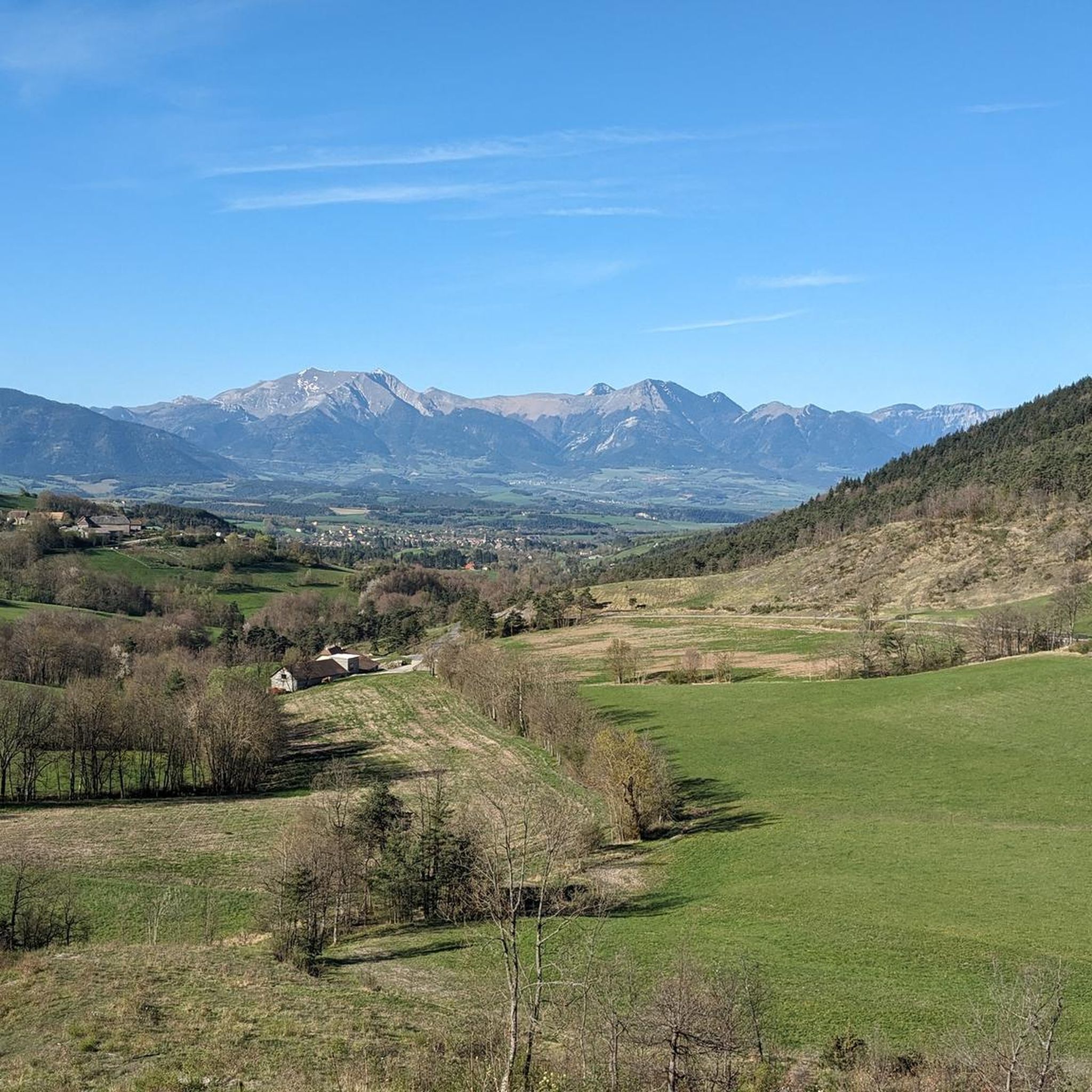
On this section you will at times have the feeling of going off-road. The foothills of the Devoluy massif that cover the bottom of the landscape help to make this passage exotic. You can admire the Rattier or the Bonnet de l'Évêque, which peak at 2,474 and 2,663 meters respectively. These steep peaks hide behind them the roof of the Devoluy: the Obiou.
0
0
From this superb gravel path, which winds through pastures, you can admire the first summits of the Devoluy massif. Its summit, the Grande Tête de l'Obiou, culminates at 2,789 meters.
0
0

Just incredible view, with the arrival of the snow which was starting to fall and the troop of chamois who were walking around.
0
0

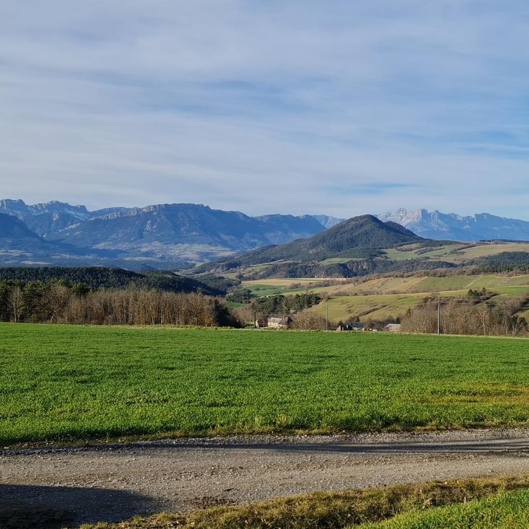
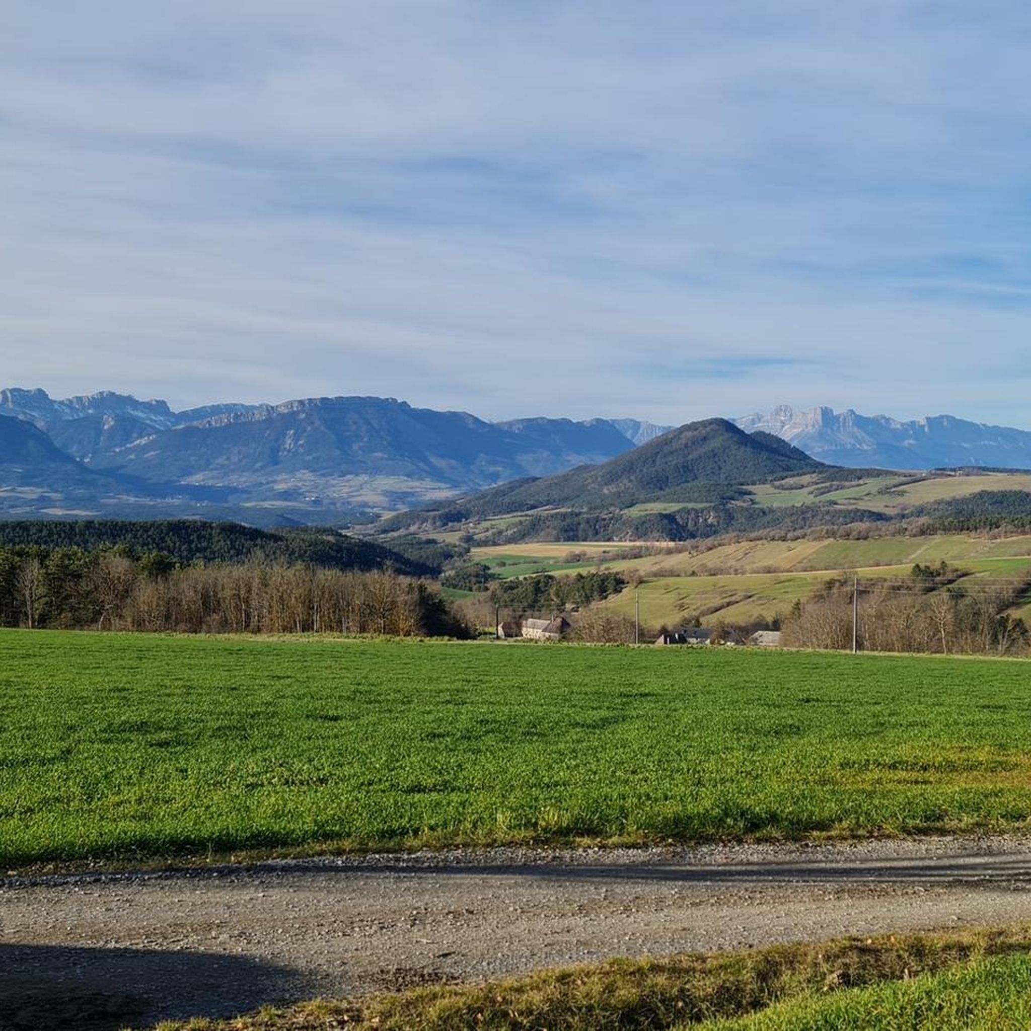
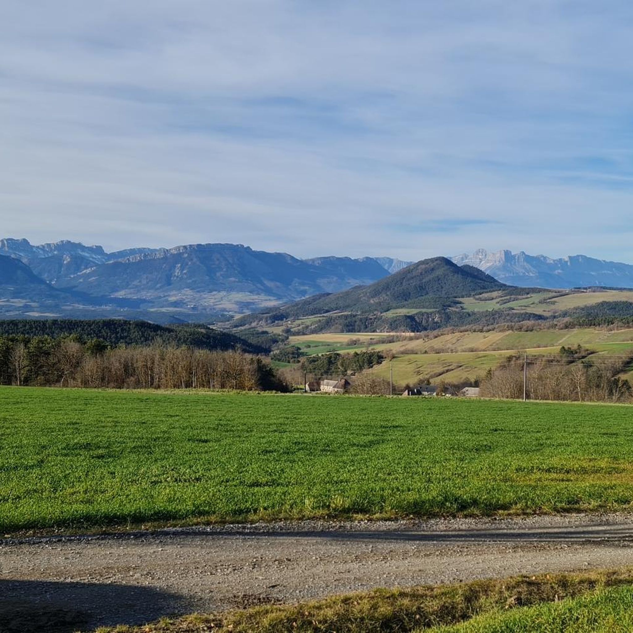
This 200m long cave is located at the foot of the majestic west face of Petit and Grand Ferrand (700m of verticality). With a view of the Triève and the Vercors in the background.
0
0

Beautiful views.... great to stay here
0
0
A very nice mountain walk where you are treated to a great panorama. The walk itself is tough.
0
0

Beautiful forest road with some small viewpoints.
0
0
Frequently Asked Questions
What types of landscapes can I expect to see while hiking in Saint-Baudille-Et-Pipet?
The region offers a dramatic and diverse landscape, transitioning from high alpine passes and mountainous terrain to deep valleys, extensive forests, and alpine pastures. You'll encounter varied environments, including scree fields and charming villages, all set against the stunning backdrop of the Vercors and French Alps.
Are there any easy or beginner-friendly hiking trails in the area?
Yes, Saint-Baudille-Et-Pipet offers a good selection of easier trails. There are 27 easy routes available, perfect for those new to hiking or looking for a more relaxed experience. These trails often provide gentle strolls through picturesque scenery.
What unique natural features or landmarks can I discover on hikes around Saint-Baudille-Et-Pipet?
Hikers can explore several unique natural features. The area is home to impressive suspension bridges like the Drac Footbridge and the Ebron Footbridge, offering spectacular views. You can also find the View of the Brion Bridge, and the scenic Gorges des Gâts. For panoramic vistas, consider visiting the View of the Dévoluy Mountains.
Are there any multi-day or challenging treks for experienced hikers?
Absolutely. For experienced hikers, the GRP® Tour de l'Obiou is a major draw, a multi-stage trek totaling 64 km with 3,500 m of elevation gain. This route encircles the iconic Obiou summit and offers an immersive experience in the wild, less-frequented Alpine landscapes. Additionally, there are 30 difficult routes available, such as the challenging Le Chatel – Kussalp Fahrer Cabin loop from Longueville.
Are there any circular hiking routes available?
Yes, many of the trails in Saint-Baudille-Et-Pipet are circular, allowing you to start and end your hike in the same location. An example is the View of the Devoluy massif loop from Saint-Baudille-et-Pipet, which offers panoramic vistas.
What do other hikers say about the trails in Saint-Baudille-Et-Pipet?
The routes in Saint-Baudille-Et-Pipet are highly rated by the komoot community, with an average score of 4.5 stars from over 700 reviews. Hikers often praise the diverse terrain, stunning mountain vistas, and the variety of trails catering to different skill levels.
Can I hike with my dog in Saint-Baudille-Et-Pipet?
While many trails in the region are generally dog-friendly, it's always recommended to keep your dog on a leash, especially in areas with livestock or protected wildlife. Always check local signage for specific rules or restrictions on individual trails or in nature reserves.
Are there any family-friendly hiking options?
Yes, the region offers several options suitable for families. Look for the easier-rated trails, which provide a more accessible experience for children. Some routes, like the 'Prébois loop of the two Mills' mentioned in regional research, are known for being gentle walks.
What is the best time of year to go hiking in Saint-Baudille-Et-Pipet?
The best time to hike generally depends on the elevation and specific trail. Spring and autumn offer pleasant temperatures and vibrant scenery, while summer is ideal for higher-altitude routes. Winter hiking is possible, but requires appropriate gear and awareness of snow conditions, especially on higher passes.
Are there any mountain refuges or cabins along the trails?
Yes, some trails feature well-equipped refuges. For example, the Rochassac cabin is known to have a spring, tables, and a dry toilet, providing a comfortable resting point for hikers on longer routes.
Is public transport available to reach trailheads in Saint-Baudille-Et-Pipet?
Public transport options to specific trailheads can be limited in this mountainous region. It's advisable to check local bus schedules or consider driving to access the starting points of most hikes. Some villages like Mens might serve as transport hubs for the wider area.
Where can I find parking for hiking trails?
Parking is typically available at or near the starting points of popular trails and in the villages. Specific parking information is often provided on individual komoot tour pages. It's always a good idea to arrive early during peak season to secure a spot.
Most popular routes around Saint-Baudille-Et-Pipet
Most popular attractions around Saint-Baudille-Et-Pipet

Get inspired with the komoot mobile app


Explore more
Browse the best Hikes in other regions.
