The best walks and hikes around Plan
4.5
(160)
1,088
hikers
102
hikes
Hiking trails around Plan offer a diverse landscape characterized by rolling hills, scenic passes, and varied terrain suitable for outdoor exploration. The region features routes that traverse through areas with elevation changes, providing views of surrounding natural features like the Vercors Hills. This environment supports a network of trails for different hiking preferences.
Best hiking trails around Plan
- The most popular hiking route is Château de Sillans loop from Saint-Étienne-de-Saint-Geoirs, a 6.9 miles (11.0 km) trail that takes 3…
Last updated: May 20, 2026
3.8
(4)
21
hikers
11.0km
03:03
190m
190m
Moderate hike. Good fitness required. Easily-accessible paths. Suitable for all skill levels.
4.0
(2)
17
hikers
9.38km
02:53
330m
330m
Moderate hike. Good fitness required. Easily-accessible paths. Suitable for all skill levels.

Sign up for free
3.0
(1)
13
hikers
10.5km
03:21
340m
340m
Moderate hike. Good fitness required. Mostly accessible paths. Sure-footedness required.
5.0
(3)
11
hikers
11.8km
03:29
340m
340m
Moderate hike. Good fitness required. Easily-accessible paths. Suitable for all skill levels.
5.0
(1)
10
hikers
5.48km
01:39
170m
170m
Easy hike. Great for any fitness level. Easily-accessible paths. Suitable for all skill levels.
Get access to more routes and recommendations from other explorers.
Sign up for free
Already have an account?
Our route recommendations are based on thousands of hikes, rides, and runs completed by other people on komoot.
Start today with a free account
Your next adventure awaits.
Login or Signup

Tips from the Community

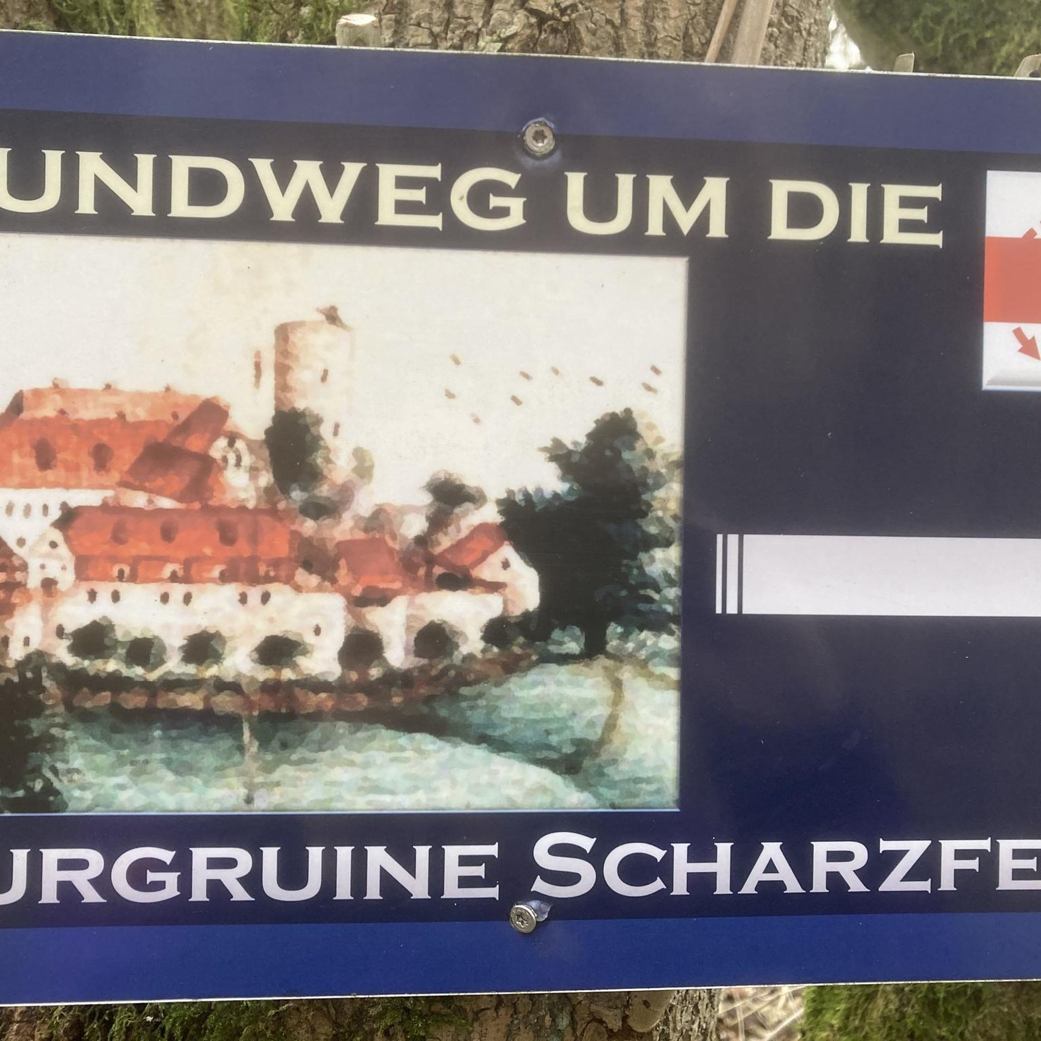
Traces of this castle can be found in the archives dating back to 1315, when it was under the jurisdiction of the lord of Saint Geoirs. A remarkably well-preserved tower still remains.
0
0
These ponds are often privately owned, and therefore fishing is prohibited. They are home to many birds and give St Geoirs a touch of the Dombes region.
0
0

The view from the pass is worth the effort!
0
0

The Col de Chatain from Tullins is 7.23 km long with a total drop of 469 m. The average gradient is 6.49% with maximum gradients of 12%.
2
0
A fairly steady climb from Vinay, the start has easier grades of 2-4% with the second and final part increasing to 5-6%. The views from the top are definitely worth the effort!
2
0
Frequently Asked Questions
How many hiking trails are available around Plan?
There are over 90 hiking trails around Plan, offering a wide range of options for outdoor enthusiasts. These include routes of varying difficulty, from easy strolls to more challenging treks.
What kind of terrain can I expect when hiking around Plan?
The hiking trails around Plan are characterized by rolling hills, scenic passes, and varied natural landscapes. You can expect routes that traverse areas with elevation changes, providing views of surrounding features like the Vercors Hills.
Are there easy hiking options suitable for beginners in Plan?
Yes, Plan offers a good selection of easy hiking routes. There are over 25 easy trails available, perfect for beginners or those looking for a more relaxed walk. Many of these routes feature gentle climbs and varied scenery.
What do other hikers enjoy most about the trails in Plan?
The trails around Plan are highly rated by the komoot community, with an average score of 4.5 stars from over 150 reviews. Hikers often praise the diverse landscape, the scenic passes, and the varied terrain that makes for engaging outdoor exploration.
Are there circular hiking routes available in Plan?
Yes, many of the trails around Plan are designed as circular routes, allowing you to start and end your hike in the same location. For example, the Château de Sillans loop from Saint-Étienne-de-Saint-Geoirs and the Col de Châtain (684 m) loop from La Forteresse are popular circular options.
What are the typical lengths and durations of hikes in Plan?
Hikes in Plan vary in length and duration. Moderate routes, such as the Château de Sillans loop, can be around 6.9 miles (11 km) and take about 3 hours. Shorter options like the View of the Vercors Hills – Toutes Aures Pass loop are about 4.3 miles (6.9 km) and can be completed in under 2 hours.
Are there scenic viewpoints or passes to explore while hiking?
Absolutely. The region is known for its scenic passes and viewpoints. You can find routes that offer panoramic views of the Vercors Hills, such as the View of the Vercors Hills – Toutes Aures Pass loop from Brion. Notable passes like the Toutes Aures Pass and Col de Châtain (684 m) are also accessible via hiking trails.
What attractions can I see near the hiking trails in Plan?
Beyond the natural beauty, you can explore several attractions. Highlights include the historic Château de Montgontier and the serene Our Lady of La Salette Chapel. Many trails also offer views of the Vercors massif.
Are the hiking trails around Plan suitable for families?
Given the variety of easy and moderate trails, many routes around Plan are suitable for families. The rolling hills and varied scenery provide an engaging experience without being overly strenuous. Look for shorter, less elevated routes for younger children.
Can I bring my dog on the hiking trails in Plan?
While specific regulations can vary by trail or protected area, generally, dogs are welcome on many hiking trails around Plan, especially if kept on a leash. It's always a good idea to check local signage or specific route details for any restrictions before heading out.
What kind of elevation changes can I expect on hikes in Plan?
Hikes in Plan feature varied elevation changes, reflecting the region's rolling hills and passes. Moderate trails typically involve ascents and descents of around 180 to 400 meters. For example, the Panorama orientation table loop from Izeaux has an elevation gain of about 337 meters.
Are there any specific mountain passes I can hike to in Plan?
Yes, the area around Plan features several notable mountain passes that can be reached by hiking. These include the Toutes Aures Pass, Lachard Pass (695 m), and Col de Châtain (684 m), all offering distinct views and hiking experiences.
Most popular attractions around Plan

Get inspired with the komoot mobile app


Explore more
Browse the best Hikes in other regions.
