The best walks and hikes around Brion
4.6
(115)
767
hikers
78
hikes
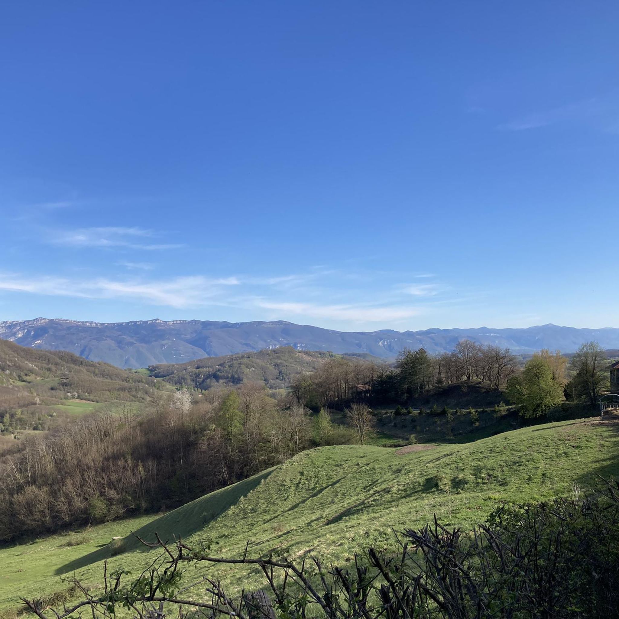
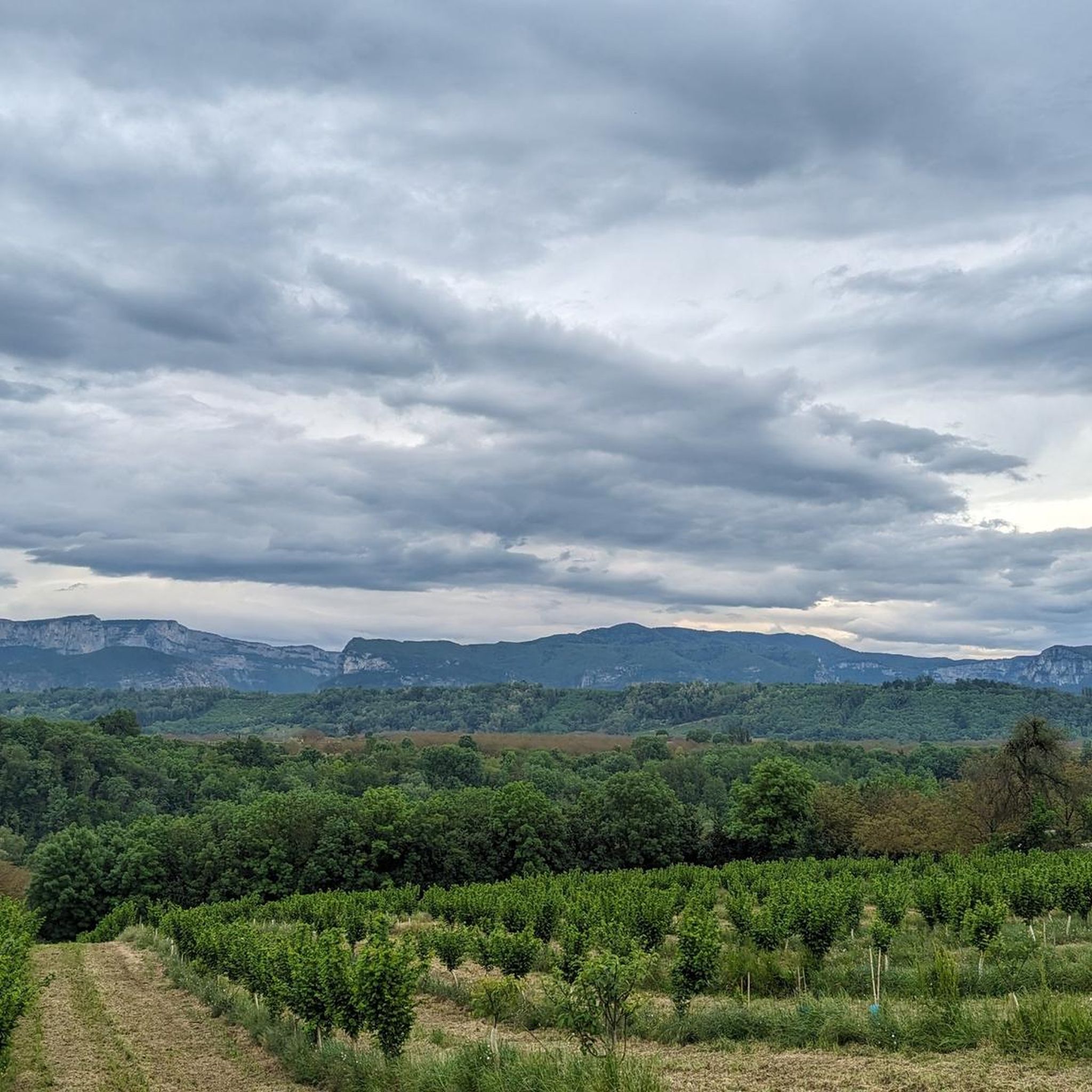
Hiking around Brion offers routes through varied landscapes, characterized by rolling hills and panoramic views, particularly towards the Vercors Massif. The terrain includes woodlands, open fields, and features like ponds and historical sites. Hikers can expect a mix of gentle paths and moderate climbs, providing diverse outdoor experiences.
Best hiking trails around Brion
- The most popular hiking route is View of the Vercors – Fouaty pond loop from Lotissement Le Magnolia, a 8.3 miles (13.4 km) trail that takes…
Last updated: July 29, 2026
4.2
(5)
46
hikers
13.4km
03:37
180m
180m
Moderate hike. Good fitness required. Easily-accessible paths. Suitable for all skill levels.
3.8
(4)
21
hikers
11.0km
03:03
190m
190m
Moderate hike. Good fitness required. Easily-accessible paths. Suitable for all skill levels.

Sign up for free
4.7
(3)
15
hikers
7.22km
02:09
220m
220m
Moderate hike. Good fitness required. Easily-accessible paths. Suitable for all skill levels.
4.0
(2)
19
hikers
9.38km
02:53
330m
330m
Moderate hike. Good fitness required. Easily-accessible paths. Suitable for all skill levels.
5.0
(3)
11
hikers
11.8km
03:34
370m
370m
Moderate hike. Good fitness required. Easily-accessible paths. Suitable for all skill levels.
Get access to more routes and recommendations from other explorers.
Sign up for free
Already have an account?
Our route recommendations are based on thousands of hikes, rides, and runs completed by other people on komoot.
Start today with a free account
Your next adventure awaits.
Login or Signup


Tips from the Community

Traces of this castle can be found in the archives dating back to 1315, when it was under the jurisdiction of the lord of Saint Geoirs. A remarkably well-preserved tower still remains.
0
0

The view from the pass is worth the effort!
0
0

The Col de Chatain from Tullins is 7.23 km long with a total drop of 469 m. The average gradient is 6.49% with maximum gradients of 12%.
2
0

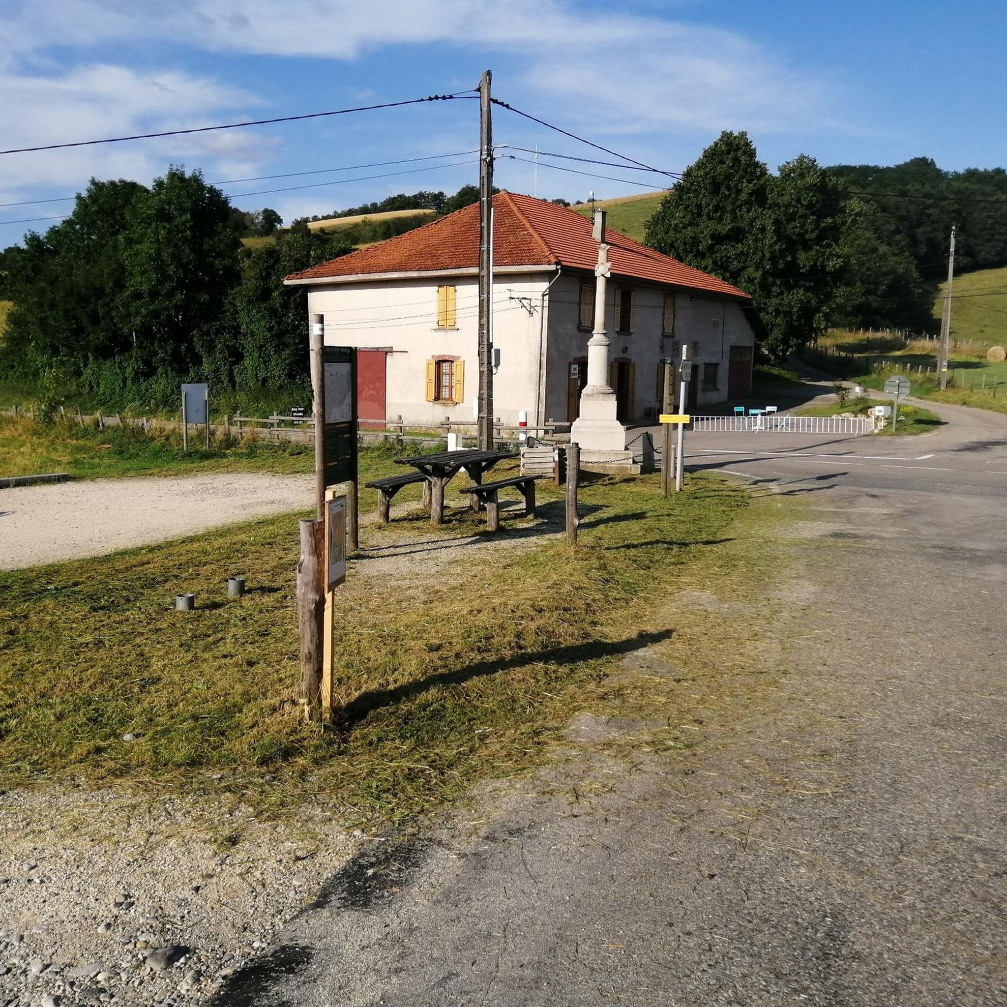
There is a small cafe, a free water point and a small picnic area in the sun.
0
0
A fairly steady climb from Vinay, the start has easier grades of 2-4% with the second and final part increasing to 5-6%. The views from the top are definitely worth the effort!
2
0

Located between the Chambarans and the Bièvre plain, it gives a view of "all horizons" at an altitude of 628m.
0
0

Small picnic area and water point at the pass
0
0
Frequently Asked Questions
How many hiking trails are there around Brion?
Brion offers a wide selection of hiking trails, with over 60 routes available. These range from easy walks to more challenging moderate paths, ensuring options for various fitness levels.
Are there any easy hiking trails suitable for beginners or families in Brion?
Yes, Brion has 17 easy hiking trails. These routes are generally shorter with less elevation gain, making them ideal for beginners or families looking for a relaxed outdoor experience. While specific easy routes are not detailed here, you can find them on komoot.
What kind of terrain can I expect when hiking around Brion?
Hiking around Brion is characterized by rolling hills and panoramic viewpoints, particularly towards the Vercors Massif. The terrain features a mix of woodlands and open fields, with some routes passing by ponds and historical sites. You'll encounter both gentle paths and moderate climbs.
Are there any circular walks or loop trails available in Brion?
Many of the trails around Brion are designed as loops, offering varied scenery without retracing your steps. For example, the View of the Vercors – Fouaty pond loop from Lotissement Le Magnolia is a moderate 8.3-mile (13.4 km) route that provides expansive views and passes a notable pond.
What are some notable landmarks or natural features to see on a hike in Brion?
Hikers in Brion can explore several interesting landmarks and natural features. You might encounter historical elements like those found on the Château de Sillans loop from Saint-Étienne-de-Saint-Geoirs. The region also features several mountain passes such as Toutes Aures Pass and Col de Châtain (684 m), offering scenic views. Additionally, you can discover the Sculpture Trail of the Four Winds and the historic Château de Bressieux.
What do other hikers enjoy most about the trails in Brion?
The trails in Brion are highly rated by the komoot community, with an average score of 4.5 stars from over 90 reviews. Hikers often praise the panoramic views, especially towards the Vercors Massif, and the diverse landscapes that include woodlands and open fields. The variety of routes catering to different abilities is also frequently appreciated.
Are there any challenging hikes for experienced hikers in Brion?
While most routes are moderate, Brion does offer 7 difficult trails for those seeking a greater challenge. These routes typically feature more significant elevation gains and longer distances. An example of a moderate route with notable elevation is the View of the Vercors Hills – Panoramic view loop from Brion, which covers 8.1 miles (13.0 km) with nearly 400 meters of ascent.
Can I find routes that offer views of the Vercors Massif?
Absolutely. Many trails in Brion are renowned for their stunning views of the Vercors Massif. The View of the Vercors Hills – Toutes Aures Pass loop from Brion is a popular 4.3-mile (6.9 km) trail specifically designed to showcase these scenic hills.
How long do hikes typically take around Brion?
The duration of hikes in Brion varies depending on the route's length and difficulty. For instance, the moderate View of the Vercors Hills – Toutes Aures Pass loop from Brion can be completed in about 2 hours. Longer moderate routes, like the View of the Vercors – Fouaty pond loop from Lotissement Le Magnolia, typically take around 3 hours 37 minutes.
Are there any routes that pass by historical sites or castles?
Yes, some routes incorporate historical elements into the hiking experience. The Château de Sillans loop from Saint-Étienne-de-Saint-Geoirs is a moderate 6.9-mile (11.0 km) path that features historical elements and varied scenery. Additionally, the Château de Bressieux is a notable highlight in the area.
What is the elevation gain like on trails in Brion?
Elevation gains in Brion vary, reflecting the region's rolling hills. Easy trails will have minimal ascent, while moderate routes can feature significant climbs. For example, the Col de Châtain (684 m) loop from La Forteresse involves over 320 meters of elevation gain, offering a good workout with rewarding views.
Most popular attractions around Brion

Get inspired with the komoot mobile app


Explore more
Browse the best Hikes in other regions.
