The best walks and hikes around Aristau
4.6
(2291)
14,135
hikers
841
hikes
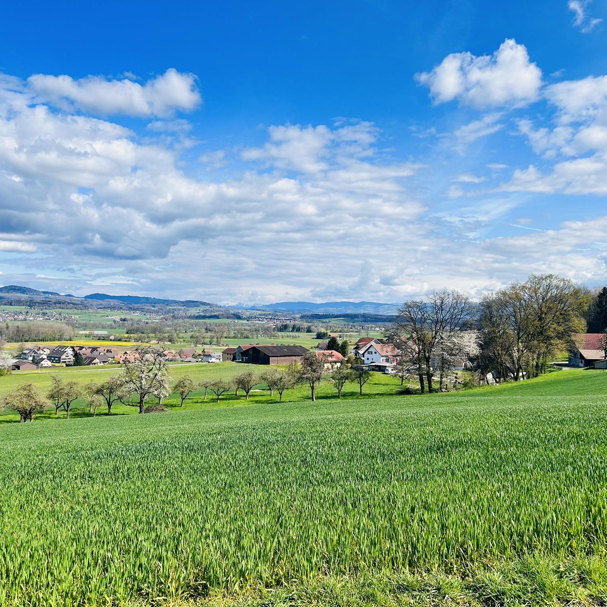
Hiking around Aristau offers diverse terrain, characterized by the Freiämter moraine landscape with its rolling hills and varied elevations. The region features tranquil riverine floodplain areas along the Reuss and Jonenbach, contrasting with elevated viewpoints and serene lakes such as the Flachsee. This blend of natural features provides a range of experiences for outdoor enthusiasts.
Best hiking trails in Aristau
- The most popular hiking route is Beaver activity at the Flachsee – Flachsee Nature Reserve loop from Ottenbach, a…
Last updated: September 30, 2026
4.9
(27)
118
hikers
Moderate hike. Good fitness required. Easily-accessible paths. Suitable for all skill levels.
4.2
(13)
119
hikers
Easy hike. Great for any fitness level. Easily-accessible paths. Suitable for all skill levels.

4.6
(9)
45
hikers
5.33km
01:27
80m
80m
Easy hike. Great for any fitness level. Easily-accessible paths. Suitable for all skill levels.
5.0
(10)
32
hikers
12.6km
03:13
40m
40m
Moderate hike. Good fitness required. Easily-accessible paths. Suitable for all skill levels.
4.3
(6)
38
hikers
Easy hike. Great for any fitness level. Easily-accessible paths. Suitable for all skill levels.
Get access to more routes and recommendations from other explorers.
Already have an account?
Our route recommendations are based on thousands of hikes, rides, and runs completed by other people on komoot.
Start today with a free account
Your next adventure awaits.

Tips from the Community

Ideal path suitable for various activities (biking, walking, hiking, etc.). There are also entry points if you want to explore the Reuss with your own inflatable boat, SUP, or canoe.
0
0
Beautiful view of the Reuss, whether going upstream or downstream. Right next to the bridge, there is a small sandbank that invites you to swim.
0
0
On both sides of the Reuss bridge, there are many free parking spaces that can be used as a starting point for hikes or bike tours. Directly at the Reuss bridge, there is also the restaurant "Hecht" where you can indulge in culinary delights.
0
0
The Reussbrücke connects Unterlunkhofen with Rottenschwil. There is a separate crossing for pedestrians and bikers. The crossing is single-lane for car drivers, but there are large parking lots on both sides and the Restaurant Hecht nearby (recommended for a culinary treat).
0
0

A peaceful spot along the Reuss River, perfect for a relaxing break. The old iron bridge adds a historic charm, and the calm waters beautifully reflect the sky. There’s a comfortable bench where you can sit and enjoy the view, and a gravel parking area nearby makes access easy. Ideal for a short stop during a walk or bike ride.
1
0

Small weir with bridge over the river.
0
0

The path has been partially rebuilt. The heavy rain and storms in 2024 have likely taken their toll on the path and the forest. https://youtu.be/R8UajCrKk2g
1
0

Three bridges have been rebuilt. Only one-sided railing.
1
0
Frequently Asked Questions
What types of landscapes can I expect to see while hiking around Aristau?
Aristau offers a diverse range of landscapes. You'll find the rolling hills of the Freiämter moraine landscape, tranquil riverine floodplain areas along the Reuss and Jonenbach, and serene lakes like the Flachsee. Elevated viewpoints also provide expansive views over the valley and the surrounding region.
Are there easy hiking trails suitable for beginners or leisurely strolls in Aristau?
Yes, Aristau has many easy trails. Over 540 of the nearly 900 routes are classified as easy. For a peaceful riverside experience, consider the Gravel Path Along the Reuss – Flachsee Nature Reserve loop from Oberlunkhofen, an easy 4 km path. Another option is the Reuss Riverside Path Ottenbach – Aargau Coat of Arms Monument loop from Ottenbach, which is about 4.4 km long.
What kind of natural features or landmarks can I discover on hikes in Aristau?
The region is rich in natural beauty. You can explore the romantic Jonental valley, which features the Jonenbach Wooden Bridge – Jonental Chapel loop from Jonen. The Flachsee is a prominent natural monument, and you might even spot beaver activity there on routes like the Beaver activity at the Flachsee – Flachsee Nature Reserve loop from Ottenbach. The Freiämter moraine landscape itself offers varied terrain, and the Lindenberg provides expansive views from its highest point.
Are there any gorges or waterfalls to see near Aristau?
Yes, the area around Aristau features several interesting gorges and even some waterfalls. You can explore highlights such as the Lindenbach Gorge or the Dünkelbach Tobel Trail. For waterfalls, look out for the Waterfall on the Chräenbach or a Rock with mini waterfall.
What do other hikers say about the trails in Aristau?
The hiking routes in Aristau are highly rated by the komoot community, with an average score of 4.6 stars from over 1,900 reviews. Hikers often praise the diverse terrain, from tranquil riverside paths to scenic lake areas, and the well-maintained network of trails suitable for various ability levels.
Are there circular hiking routes available in Aristau?
Many of the trails around Aristau are designed as circular routes, offering convenient starting and ending points. Examples include the Beaver activity at the Flachsee – Flachsee Nature Reserve loop from Ottenbach and the Jonenbach Wooden Bridge – Jonental Chapel loop from Jonen, allowing you to return to your starting point without retracing your steps.
Can I find historical or cultural points of interest along the hiking trails?
Absolutely. The region has a rich history. The Jonenbach Wooden Bridge – Jonental Chapel loop from Jonen leads through the romantic Jonental valley, which features a pilgrimage chapel. The historical Habsburger Way also passes through the area, with an easy section from Bremgarten to the monastery village of Muri, following the Reuss river.
What is the best time of year to go hiking in Aristau?
Aristau offers pleasant hiking experiences throughout much of the year. Spring and autumn provide comfortable temperatures and beautiful scenery, with blooming flora or vibrant fall colors. Summer is ideal for combining hikes with swimming in lakes like Türlersee or Hallwilersee. While some trails may be accessible in winter, it's always best to check local conditions for snow or ice.
Are there any specific trails that offer elevated viewpoints or panoramic views?
Yes, several trails lead to elevated viewpoints. Ascending nearby mountains, particularly the Lindenberg, offers breathtaking views over the valley and the surrounding Freiämter landscape. The highest point of Lindenberg (681 m) is known for its expansive vistas.
Are there any developed fire pits or picnic areas along the hiking routes?
For those looking to combine hiking with a picnic or barbecue, developed fire pits can be found in the region. You can often locate these on local leisure maps, providing a perfect spot to relax and enjoy the natural surroundings after your hike.
How many hiking trails are there in total around Aristau?
There are over 870 hiking routes available around Aristau, catering to a wide range of preferences and fitness levels. This includes over 540 easy trails, 317 moderate routes, and 19 more challenging options.
Most popular attractions around Aristau

Get inspired with the komoot mobile app


Explore more
Browse the best Hikes in other regions.
