The best walks and hikes around Tramolé
4.5
(153)
1,315
hikers
157
hikes
Hiking around Tramolé provides access to the diverse landscapes of the Isère department in France. The region features a network of trails that traverse forests, rural areas, and riverbanks. While Tramolé itself offers local paths, it serves as a base for exploring the broader Isère region, known for its varied terrain ranging from gentle valleys to the foothills of larger mountain ranges. The area provides opportunities for different hiking experiences, from leisurely walks to more challenging routes.
Best hiking trails…
Last updated: October 4, 2026
5.0
(1)
8
hikers
7.92km
02:09
110m
110m
Moderate hike. Good fitness required. Easily-accessible paths. Suitable for all skill levels.
5.0
(3)
6
hikers
8.65km
02:19
100m
100m
Moderate hike. Good fitness required. Easily-accessible paths. Suitable for all skill levels.

5.0
(1)
7
hikers
13.7km
03:41
180m
180m
Moderate hike. Good fitness required. Easily-accessible paths. Suitable for all skill levels.
5.0
(1)
5
hikers
3.47km
00:55
30m
30m
Easy hike. Great for any fitness level. Easily-accessible paths. Suitable for all skill levels.
5.0
(1)
5
hikers
3.45km
00:55
30m
30m
Easy hike. Great for any fitness level. Easily-accessible paths. Suitable for all skill levels.
Get access to more routes and recommendations from other explorers.
Already have an account?
Our route recommendations are based on thousands of hikes, rides, and runs completed by other people on komoot.
Start today with a free account
Your next adventure awaits.



Tips from the Community

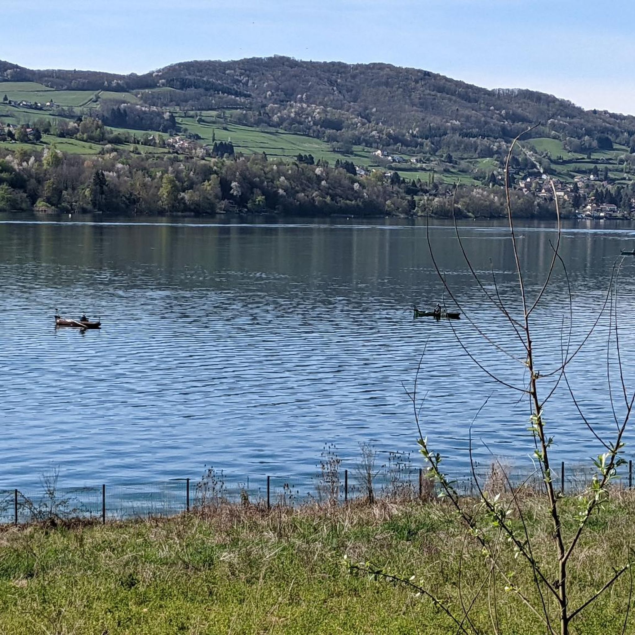
L'étang Bideau is a wild and peaceful body of water nestled in the heart of the countryside. Fed and connected to other bodies of water by the Gervonde river, this pond is a true haven of freshness surrounded by woods. The Haute Gervonde valley is home to a bucolic walking circuit particularly appreciated for its aquatic flora and shaded areas. An easy loop of about 3.1 km (called the Boucle des étangs Bidau-Bussin-Neuf) allows you to follow the stream and stroll along these different bodies of water.
0
0

It's a very bucolic hike without major difficulty, very pleasant at this time of year, it will be done without any difficulty with children and your four-legged friends🤗
0
0
Frequently Asked Questions
How many hiking trails are available around Tramolé?
The Tramolé area, serving as a gateway to the broader Isère region, offers over 100 hiking routes. These trails vary in difficulty, with 34 easy routes, 67 moderate routes, and a few more challenging options, ensuring there's something for every hiker.
What kind of landscapes can I expect to see on hikes near Tramolé?
Hikes near Tramolé traverse diverse landscapes, including forests, rural areas, and riverbanks. The broader Isère region, easily accessible from Tramolé, boasts stunning natural features such as the tranquil woods and waterfalls of Chartreuse Nature Park, the steep cliffs of Vercors Regional Park, and the high-mountain panoramas of Écrins National Park. You can also find unique experiences like the Himalayan footbridges over Lake Monteynard.
Are there any easy hiking trails suitable for beginners or families around Tramolé?
Yes, there are many easy trails perfect for beginners or families. For instance, the Hiking loop from Le Marc is an easy 4.3-mile (6.9 km) path offering a pleasant walk through the countryside. Another great option is the Hiking loop from Châtonnay, which is 4 miles (6.4 km) long and also rated as easy.
Are there any circular hiking routes near Tramolé?
Many of the trails around Tramolé are designed as circular routes, allowing you to start and end in the same location. A popular example is the Petit Étang Garant – Étang Bugeon loop from Châtonnay, a 9.9-mile (16.0 km) trail passing by local ponds. Another is the Viewpoint Bench loop from Crachier, which offers scenic vistas.
What are some interesting places or landmarks to see while hiking near Tramolé?
While hiking near Tramolé, you can discover several interesting spots. Consider visiting the serene Étang de la Rosière, or the historic Saint Joseph Chapel. For panoramic views, seek out the Orientation table at the summit of Chèzeneuve. The region also features the Bourbre Greenway, offering pleasant paths.
What do other hikers enjoy most about the trails in Tramolé?
The hiking trails around Tramolé are highly regarded by the komoot community, holding an average rating of 4.5 stars from over 140 reviews. Hikers often praise the diverse terrain, which includes quiet wooded sections, open fields, and scenic vistas, providing a varied and enjoyable experience.
Is the Isère region, accessible from Tramolé, suitable for dog-friendly hiking?
The Isère region generally welcomes dogs on many trails, especially in natural areas outside of strict national park regulations. It's always advisable to check specific trail rules or local signage, particularly concerning protected wildlife areas, and to keep dogs on a leash for their safety and to protect local fauna.
Are there any trails with good viewpoints near Tramolé?
Yes, the area offers trails with rewarding viewpoints. The Viewpoint Bench loop from Crachier is specifically known for its scenic vistas over the local hills. The broader Isère region also features numerous elevated spots, including precipitous viewing platforms and mountain summits, offering breathtaking panoramas.
What is the best time of year to go hiking around Tramolé and in the Isère region?
The best time to hike around Tramolé and in the Isère region generally spans from spring through autumn. During these seasons, the weather is typically pleasant, and the diverse landscapes, from riverbanks to mountain foothills, are vibrant. While winter offers opportunities for snowshoeing and ski touring in higher altitudes, many lower-elevation hiking trails remain accessible, though conditions can vary.
Are there any longer, more challenging hikes accessible from Tramolé?
While Tramolé itself offers moderate trails like the Petit Étang Garant – Étang Bugeon loop from Châtonnay (9.9 miles), the wider Isère region provides significantly more challenging options. For experienced hikers, the Belledonne Mountains offer routes like the 130-km GR738,
Are there any trails that involve water features like lakes or rivers?
Yes, several trails around Tramolé incorporate water features. The Petit Étang Garant – Étang Bugeon loop from Châtonnay passes by local ponds. In the broader Isère region, Lake Monteynard offers a unique 13-kilometer loop that combines walking with spectacular crossings via gigantic Himalayan footbridges suspended over the water, providing breathtaking views of the turquoise lake.
What are the public transport options for reaching hiking trailheads near Tramolé?
Public transport options directly to specific trailheads immediately around Tramolé might be limited. However, the Isère department has a regional transport network that connects larger towns. For specific trailheads, it's often recommended to check local bus schedules or consider driving to access the starting points, especially for routes further into the natural parks.
Is parking generally available at hiking trailheads around Tramolé?
Yes, parking is generally available at or near the starting points of many popular hiking trails around Tramolé and in the surrounding Isère region. For specific routes, it's advisable to check local information or komoot tour details, as designated parking areas are often indicated to facilitate access for hikers.
Most popular attractions around Tramolé

Get inspired with the komoot mobile app


Explore more
Browse the best Hikes in other regions.
