The best walks and hikes around Éourres
4.5
(340)
2,155
hikers
90
hikes
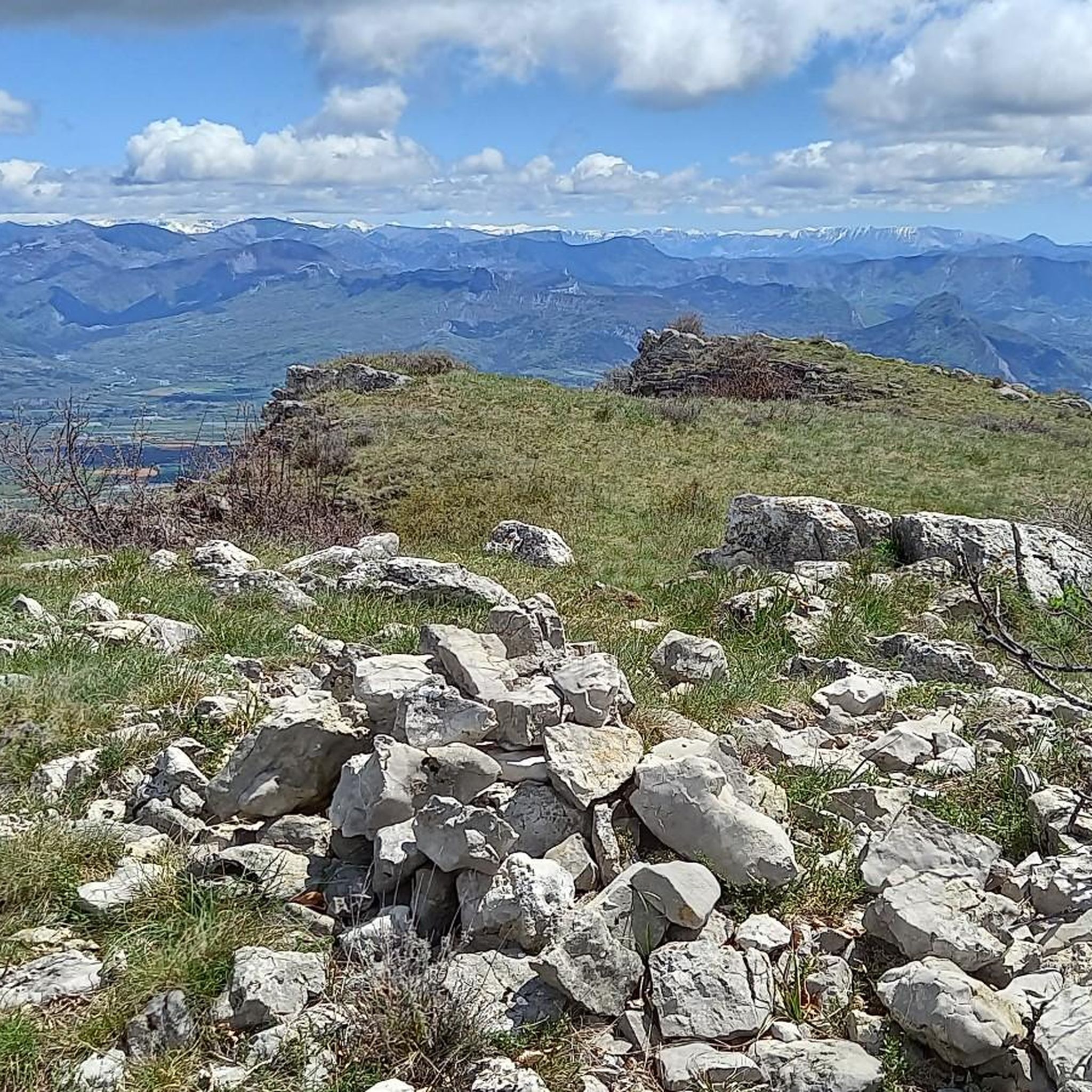
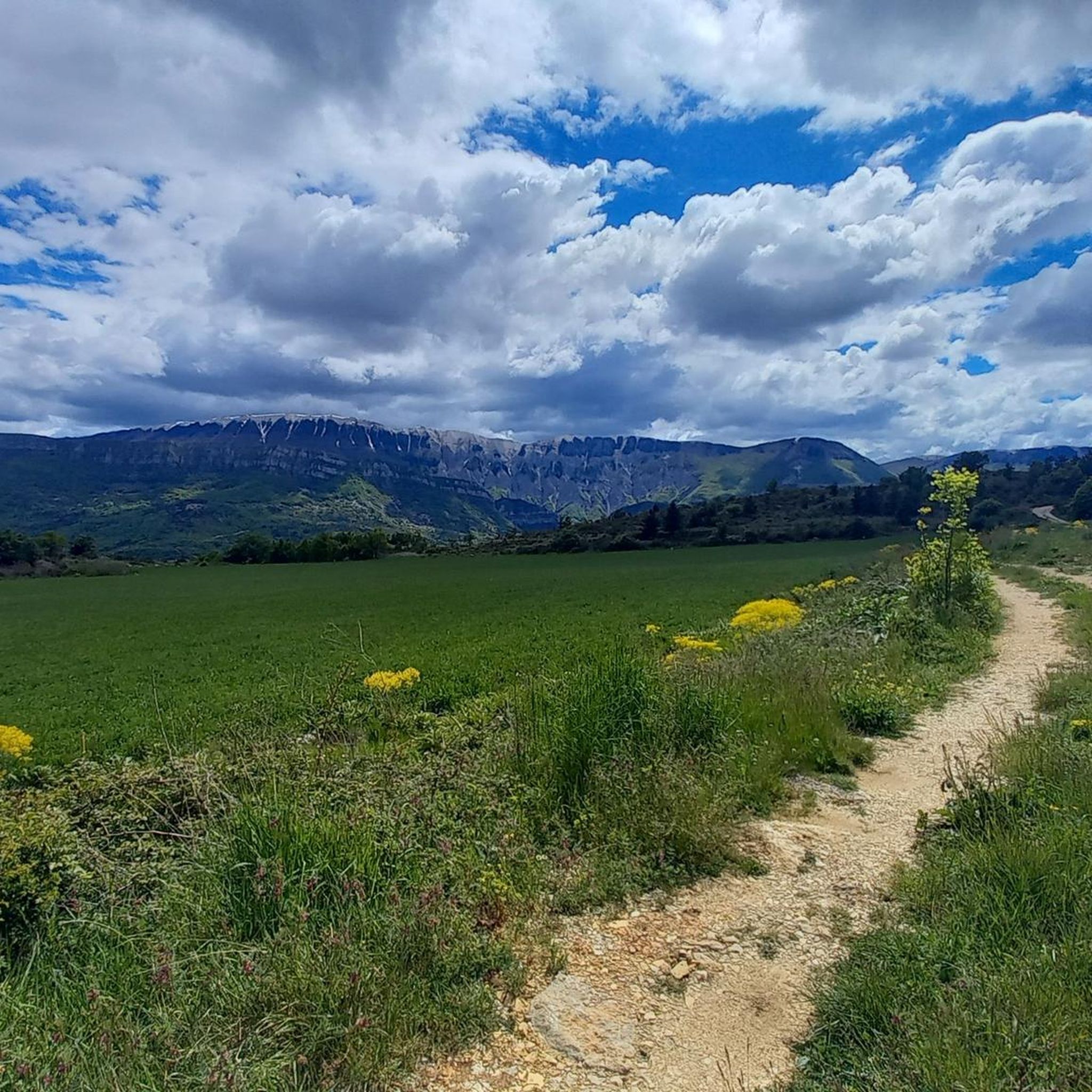
Hiking around Éourres offers access to varied landscapes within the Southern French Alps. The region is characterized by its river valleys, such as the Méouge Gorge, and surrounding forested hills. Trails often traverse open terrain, providing views of the pre-Alpine environment. This area provides a range of hiking experiences, from gentle paths to more challenging ascents.
Best hiking trails around Éourres
- The most popular hiking route is Chapel of the Penitents Ruins Trail, a 1.5 miles (2.4 km) trail…
Last updated: October 25, 2026
5.0
(2)
8
hikers
7.28km
02:51
520m
520m
Moderate hike. Good fitness required. Easily walkable paths.
5.0
(1)
6
hikers
10.6km
04:09
770m
770m
Moderate hike. Good fitness required. Easily walkable paths.

5.0
(1)
10
hikers
20.9km
06:45
900m
900m
Hard hike. Very good fitness required. Easily walkable paths.
5.0
(2)
3
hikers
12.8km
04:28
680m
690m
Moderate hike. Good fitness required. Easily walkable paths.
6
hikers
15km
05:06
750m
750m
Hard hike. Very good fitness required. Easily walkable paths.
Get access to more routes and recommendations from other explorers.
Already have an account?
Our route recommendations are based on thousands of hikes, rides, and runs completed by other people on komoot.
Start today with a free account
Your next adventure awaits.

Tips from the Community

old hilltop village offering a beautiful panorama. Too bad it is abandoned.
0
1

very pretty abandoned village. the chapel needs a good restoration Otherwise it will not last much longer
1
0

Located at an altitude of 1,290 meters, the Col Saint-Pierre forms the junction between the hamlet of Damias and Saint-Vincent-sur-Jabron. The track to get there does not have any technical part.
4
1

The descendants of the inhabitants who once populated these ruins have descended into the valley, where it is easier to live.
1
0
Frequently Asked Questions
How many hiking trails are available around Éourres?
There are over 70 hiking routes around Éourres, offering a wide range of experiences. These include 16 easy trails, 46 moderate routes, and 15 more challenging options for experienced hikers.
Are there easy hikes suitable for beginners or families in Éourres?
Yes, Éourres offers several easy trails perfect for beginners or families. One popular option is the Chapel of the Penitents Ruins Trail, which is 1.5 miles (2.4 km) long and leads to historical ruins with scenic views. This gentle path is suitable for most fitness levels.
Can I bring my dog on the hiking trails around Éourres?
Generally, dogs are welcome on most hiking trails around Éourres, especially in the natural, open terrain of the Southern French Alps. However, it's always advisable to keep them on a leash, particularly near livestock or in protected natural areas, and to clean up after them. Specific restrictions might apply in certain sensitive ecological zones, so check local signage.
Are there any circular hiking routes in Éourres?
Yes, many routes around Éourres are designed as loops, allowing you to start and end in the same location. For example, the Picnic area – Méouge Gorge loop from Barret-sur-Méouge is a moderate 10.1 miles (16.3 km) trail that explores the scenic Méouge Gorge.
What kind of views can I expect on hikes around Éourres?
Hikes around Éourres offer diverse views, characterized by the Southern French Alps. You'll often encounter panoramic vistas of river valleys, such as the Méouge Gorge, and surrounding forested hills. Many trails traverse open terrain, providing expansive views of the pre-Alpine landscape.
What is the best time of year to go hiking in Éourres?
The best time for hiking in Éourres is typically from spring to autumn (April to October). During these months, the weather is generally mild and pleasant, with blooming wildflowers in spring and vibrant foliage in autumn. Summer offers warm temperatures, ideal for enjoying the Méouge Gorge, but can be hot at midday.
Is winter hiking possible in Éourres?
Winter hiking in Éourres is possible, but conditions can vary. Lower elevation trails may remain accessible, while higher paths could be covered in snow or ice, requiring appropriate gear like snowshoes or microspikes. Always check local weather forecasts and trail conditions before heading out in winter.
Where can I find parking for hiking trails in Éourres?
Parking availability varies by trailhead. For routes exploring the Méouge Gorge, you can often find designated parking areas near popular access points like Barret-sur-Méouge or Val-Buëch-Méouge. For other trails, look for small parking lots or roadside pull-offs near the starting points, especially in or near villages.
What attractions or landmarks can I see near the hiking trails?
The region around Éourres is rich in natural beauty and points of interest. Many trails lead through or near the stunning Gorges de la Méouge, a highlight for its river scenery. You might also encounter mountain passes like the Saint-Jean Pass, offering elevated views, or explore charming villages like Orpierre.
What do other hikers say about the trails in Éourres?
The trails in Éourres are highly rated by the komoot community, with an average score of 4.6 stars from over 300 reviews. Hikers often praise the varied terrain, the beauty of the Méouge Gorge, and the opportunities for both gentle walks and more challenging ascents within the pre-Alpine environment.
Are there any longer, more challenging hikes available in the area?
Yes, for those seeking a greater challenge, Éourres offers several difficult routes. An example is the Méouge Gorge – Picnic area loop from Val-Buëch-Méouge, which is 11.5 miles (18.5 km) long and involves significant elevation changes, typically taking over 5 hours to complete.
Are there places to eat or drink near the hiking trails in Éourres?
While Éourres itself is a small village, you can find options for refreshments in nearby towns and villages, especially those located along popular hiking routes or in the Méouge Gorge area. Barret-sur-Méouge, for instance, offers amenities where you can refuel after your hike.
Most popular attractions around Éourres

Get inspired with the komoot mobile app


Explore more
Browse the best Hikes in other regions.
