The best road cycling routes around Montclus
4.5
(68)
1,684
riders
57
rides
Road cycling routes around Montclus traverse a region characterized by significant elevation changes and varied terrain. The area features numerous "cols" or mountain passes, indicating a landscape with sustained climbs and descents. Road cyclists can expect routes that navigate through valleys and ascend to panoramic viewpoints. The region's geography provides a challenging environment for road cycling, with routes often covering long distances and considerable vertical gain.
Best road cycling routes around Montclus
- The most popular road cycling route is Three…
Last updated: May 12, 2026
20
riders
121km
06:22
2,260m
2,260m
Hard road ride. Very good fitness required. Mostly well-paved surfaces and easy to ride.
4.6
(8)
121
riders
68.3km
03:19
920m
920m
Hard road ride. Very good fitness required. Mostly well-paved surfaces and easy to ride.

Sign up for free
5.0
(5)
100
riders
95.2km
05:04
1,840m
1,840m
Hard road ride. Very good fitness required. Mostly well-paved surfaces and easy to ride.
3.7
(6)
72
riders
52.4km
02:25
660m
660m
Moderate road ride. Good fitness required. Mostly well-paved surfaces and easy to ride.
37
riders
102km
04:41
1,150m
1,150m
Hard road ride. Very good fitness required. Mostly well-paved surfaces and easy to ride.
Get access to more routes and recommendations from other explorers.
Sign up for free
Already have an account?
Our route recommendations are based on thousands of hikes, rides, and runs completed by other people on komoot.
Start today with a free account
Your next adventure awaits.
Login or Signup
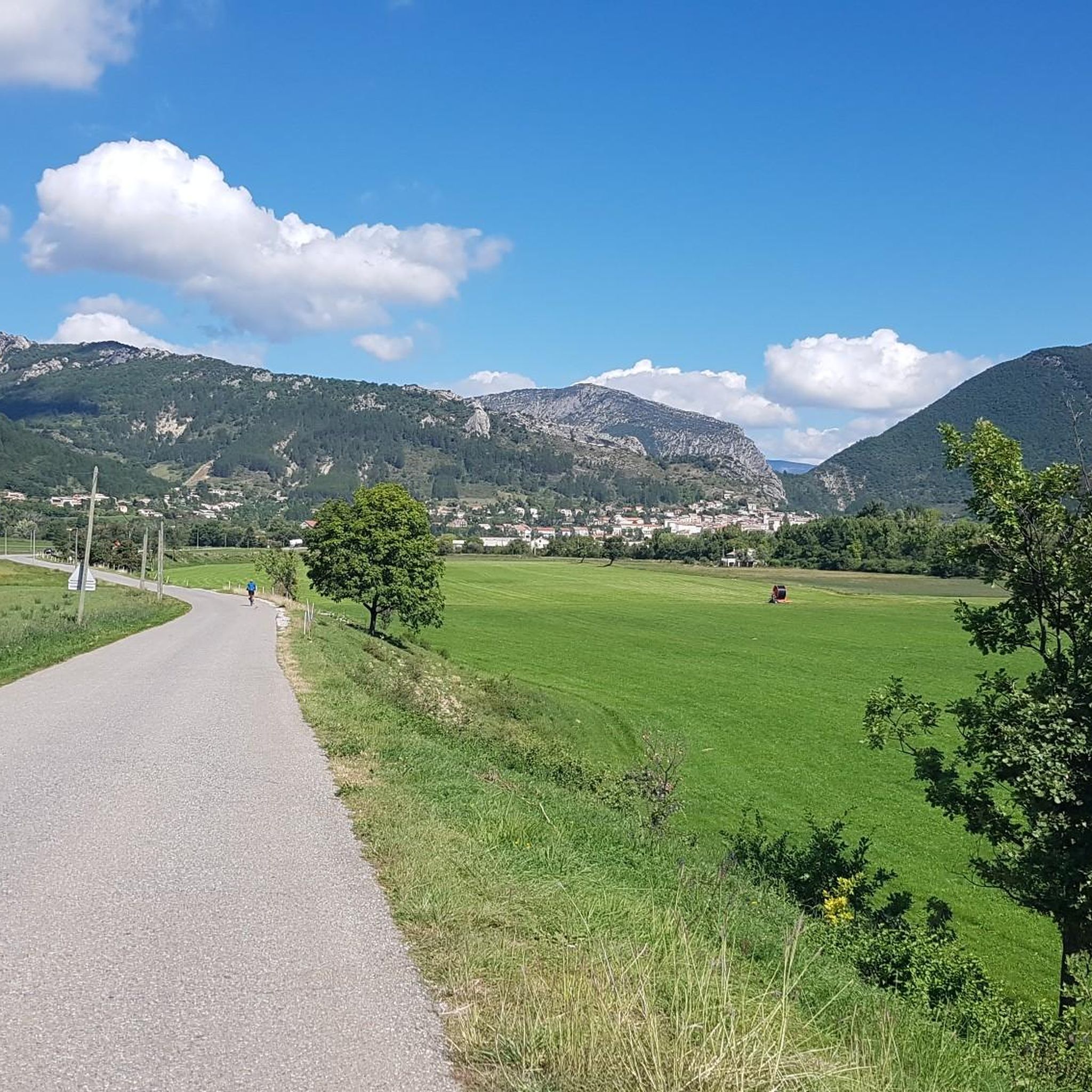
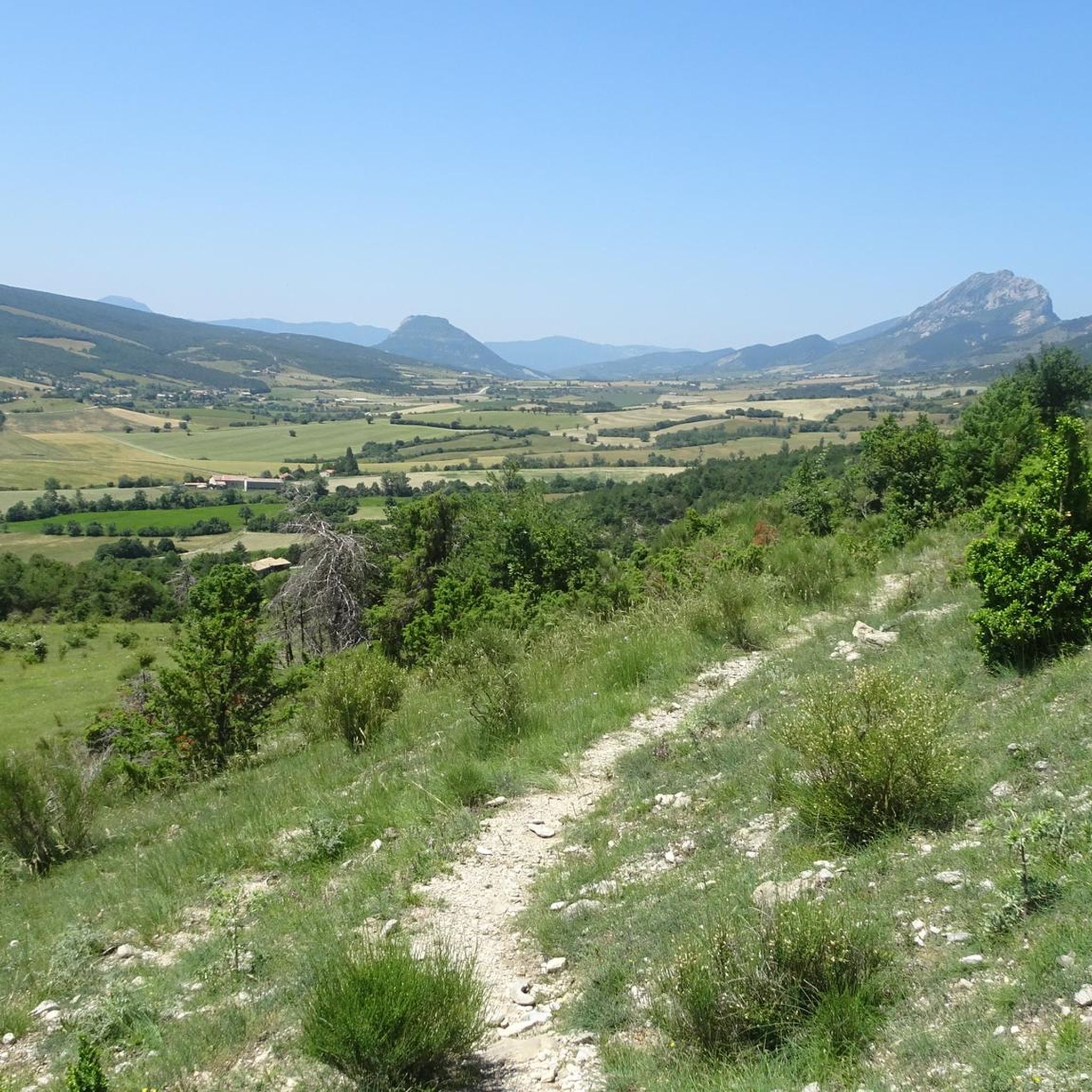
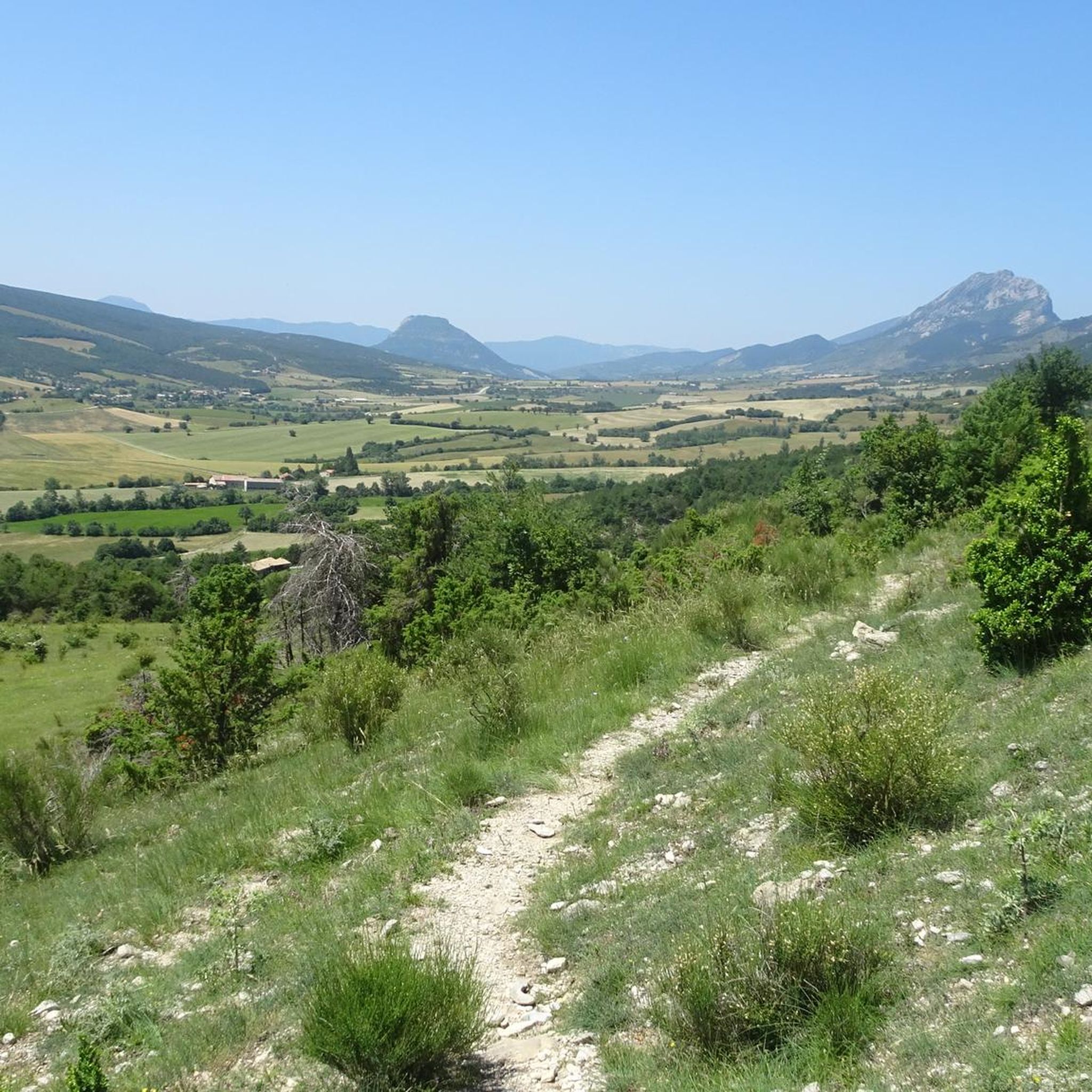
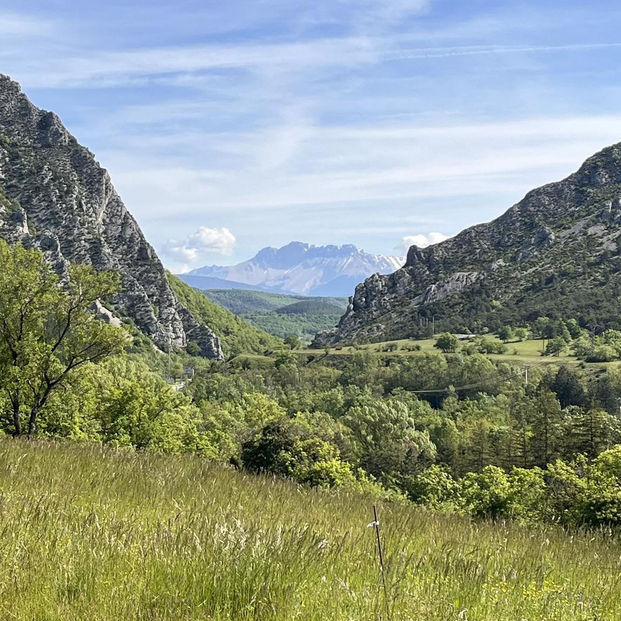

Tips from the Community

splendid view over the surroundings and particularly over the Ennuyé valley
0
0


visit is of course subject to a fee
1
0

Beautiful route, but unfortunately, when the E172 is congested, the pass is used as an alternative route by motorists. But why, according to the sign on the pass, is it not allowed to wear underwear?
0
0

Nice pass, not too hard, beautiful view of the Ventoux and the whole valley
0
0
A road which gives you direct access to the Ceüze pass from the old ski slopes, or take the direction of the village of Manteyer to arrive at the Peleautier lake.
0
0


take the short detour along the road through the fir trees along the railway line for a better view of the village
0
0
Frequently Asked Questions
How many road cycling routes are available around Montclus?
There are over 50 road cycling routes around Montclus, catering to various skill levels. You'll find options ranging from easy to difficult, with a significant number of challenging rides.
Are there any easy road cycling routes suitable for beginners in Montclus?
Yes, Montclus offers a few easier road cycling routes. While the region is known for its challenging terrain, there are 6 routes classified as easy, providing a good starting point for less experienced riders.
What are some of the most challenging road cycling routes around Montclus?
Montclus is characterized by significant elevation changes and numerous mountain passes. Challenging routes include the Three Cols of the Baronnies Provençales Loop, which covers 121.3 km with over 2,200 meters of climbing, and the La Charce Castle – Col de Carabès loop from Serres, a 95.2 km route with over 1,800 meters of ascent.
Are there circular road cycling routes in Montclus?
Many of the road cycling routes around Montclus are designed as loops, allowing you to start and finish at the same point. Examples include the Col de la Haute Beaume loop from Serres and the La Charce Castle – View of the Old Castle loop from Serres.
What kind of terrain can I expect on road cycling routes in Montclus?
Road cycling routes in Montclus feature a diverse and often challenging terrain. You can expect significant elevation changes, with numerous 'cols' or mountain passes, sustained climbs, and descents. The routes navigate through valleys and ascend to panoramic viewpoints, offering a varied landscape.
What do other road cyclists enjoy most about the routes in Montclus?
The road cycling routes in Montclus are highly rated by the komoot community, with an average score of 4.3 stars from over 80 reviews. Cyclists frequently praise the challenging climbs, scenic mountain passes, and diverse landscapes that define the region's rides.
Are there any scenic viewpoints along the road cycling routes?
Yes, the region offers several scenic viewpoints. While cycling, you might encounter views from the foot of the Massif de Céüse or reach mountain passes like Col de Carabès. For specific panoramic vistas, consider routes that pass by highlights such as the View from the Summit of Rocher de Saint-Michel.
What interesting places can I explore near the road cycling routes in Montclus?
Beyond the cycling itself, the area around Montclus offers several points of interest. You can explore charming settlements like Orpierre and Serres, or natural features such as the Gorges du Riou. Some routes, like the La Charce Castle – Col de Carabès loop from Serres, even pass by historical sites.
Are there road cycling routes around 100 km in length?
Yes, Montclus features several road cycling routes that are approximately 100 km long. For instance, the View from the foot of the Massif de Céüse – Faye Pass loop from Serres is about 101.7 km, and the La Charce Castle – View of the Old Castle loop from Serres is around 99.8 km.
What is the best time of year for road cycling in Montclus?
Given the region's mountainous terrain and 'cols,' spring and autumn generally offer the most pleasant conditions for road cycling in Montclus. Temperatures are milder, and the weather is typically more stable than in the peak of summer, which can be very hot, or winter, which may bring colder temperatures and snow at higher elevations.
What should I consider bringing for a road cycling trip in Montclus?
Due to the significant elevation changes and varied terrain, it's advisable to bring appropriate gear for climbing and descending, including suitable clothing layers, sufficient water, and nutrition. A well-maintained road bike with appropriate gearing for mountainous routes is also essential. Always check the weather forecast before heading out.
Most popular attractions around Montclus

Get inspired with the komoot mobile app


Explore more
Browse the best Road cycling routes in other regions.
