The best cycling routes around Orpierre
4.4
(103)
1,218
riders
21
rides
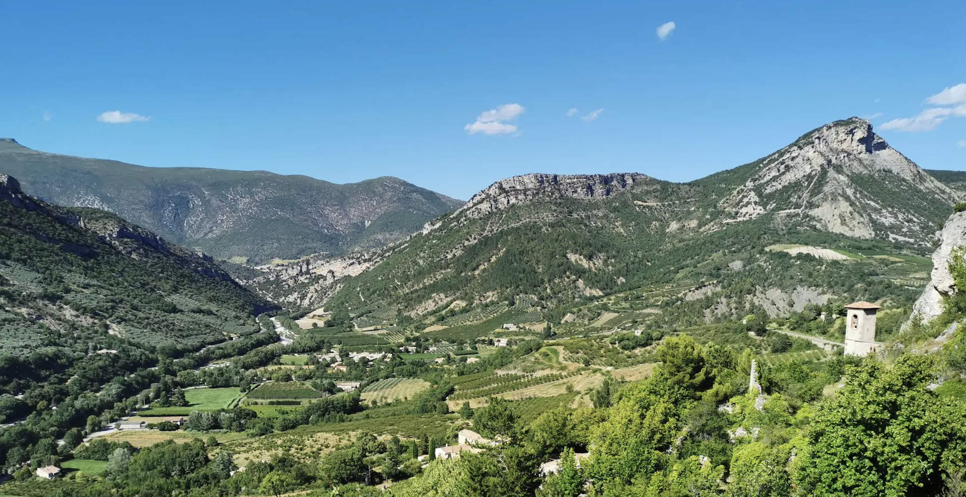
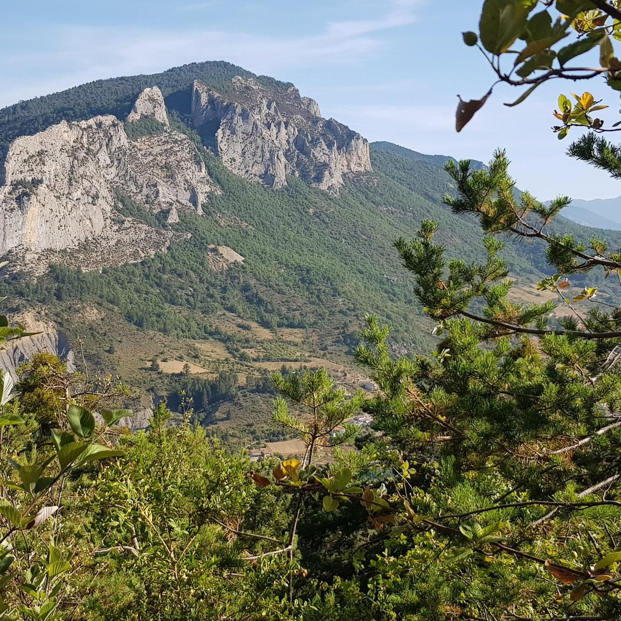
Touring cycling around Orpierre offers diverse landscapes in the Hautes-Alpes region of Southern France. The area is characterized by wild valleys, mid-mountains, and impressive cliffs sculpted by erosion, providing varied terrain for cyclists. Situated at an altitude of 700 meters, Orpierre serves as a starting point for routes that traverse the Prealps. The region features well-established cycling networks, including sections of the P'tites Routes du Soleil and the Route of the Princes of Orange.
Best touring cycling routes around Orpierre
…Last updated: September 28, 2026
4.9
(8)
54
riders
29.9km
01:58
430m
430m
Moderate bike ride. Good fitness required. Mostly paved surfaces. Suitable for all skill levels.
39
riders
102km
07:12
2,020m
2,020m
Hard bike ride. Very good fitness required. Mostly paved surfaces. Suitable for all skill levels.

5.0
(2)
32
riders
46.3km
03:25
960m
960m
Hard bike ride. Very good fitness required. Mostly paved surfaces. Suitable for all skill levels.
4.0
(2)
22
riders
31.9km
01:55
240m
240m
Moderate bike ride. Good fitness required. Mostly paved surfaces. Suitable for all skill levels.
16
riders
89.7km
05:50
1,250m
1,250m
Hard bike ride. Very good fitness required. Mostly paved surfaces. Suitable for all skill levels.
Get access to more routes and recommendations from other explorers.
Already have an account?
Our route recommendations are based on thousands of hikes, rides, and runs completed by other people on komoot.
Start today with a free account
Your next adventure awaits.



Tips from the Community

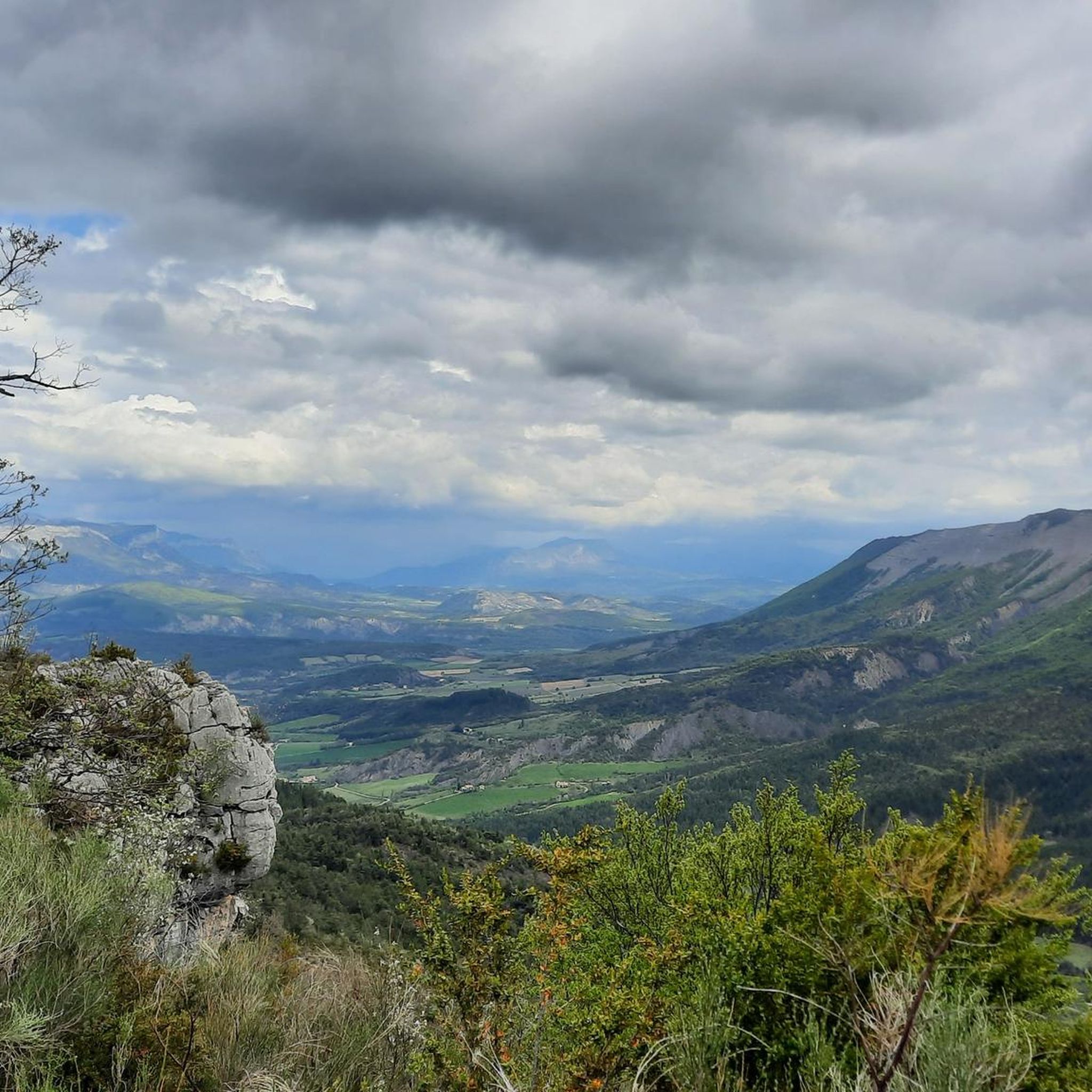
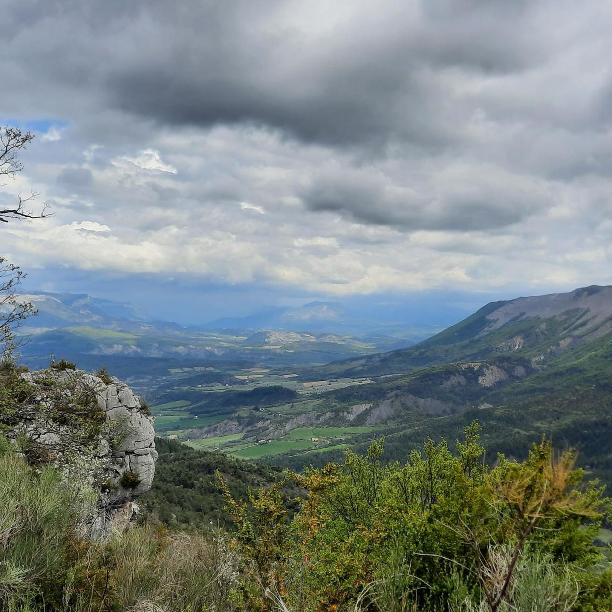
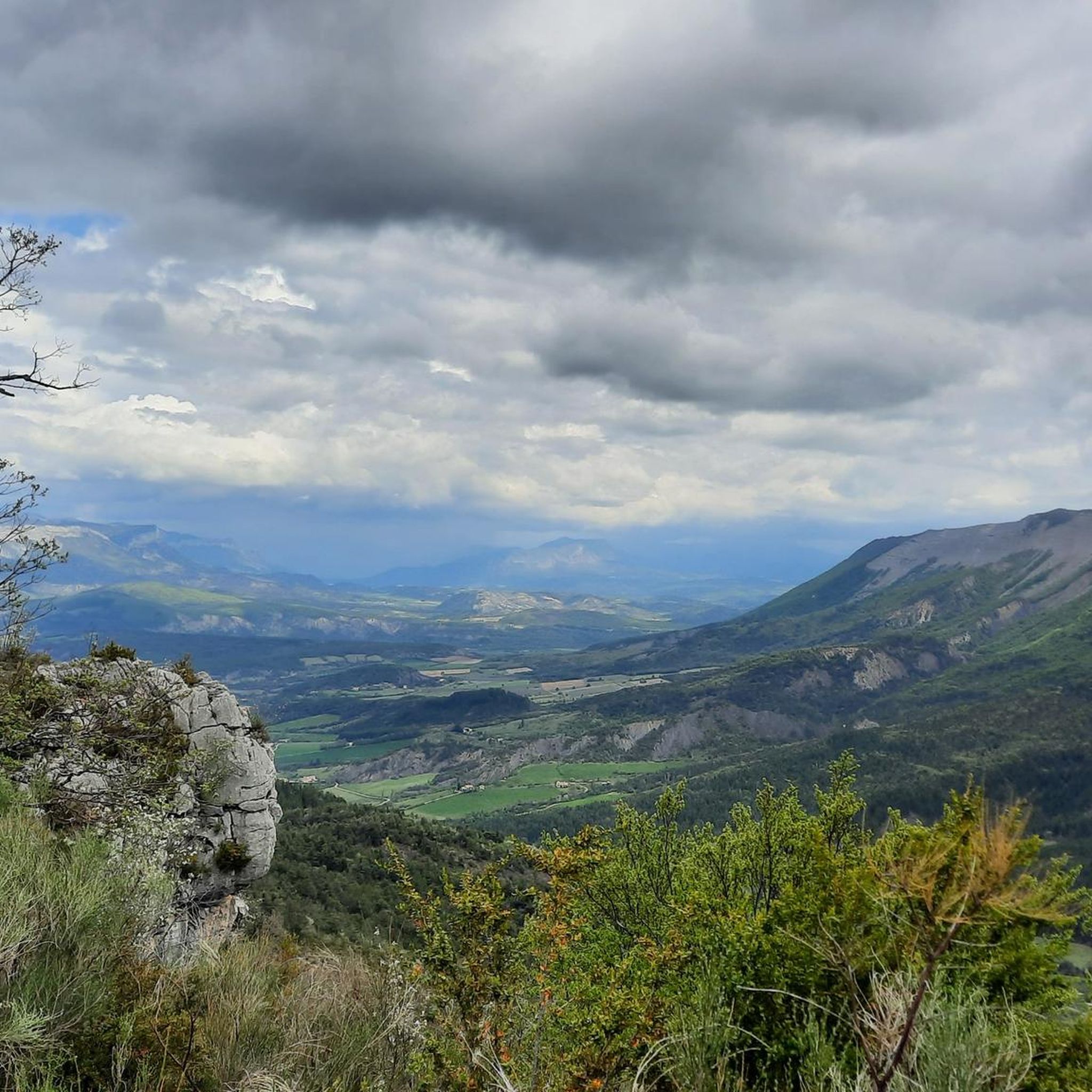
Very nice Gravel route and still quite rolling on the climb. I recommend it.
0
0
Very nice Gravel route from the North.
0
0

The Col d'Espreaux is a climb located in the Hautes-Alpes region. This climb is 12.2 km long, with a total elevation gain of 585 m. The Col d'Espreaux has an average gradient of 4.8%.
19
0
Saint-Auban is a small and characteristic village in the Provence-Alpes-Côte d'Azur region, located at an altitude of about 1,100 meters, at the foot of the spectacular Tracastel rock face.
7
0
For cyclists it's a climb: * Length: approx. 7 km * Elevation gain: approx. 320 m * Average gradient: 4.6% * Maximum gradient: approx. 5%
7
0
The Col de Perty (1,302 m) is located in the Baronnies Provençales massif, on the border between the departments of Drôme and Hautes-Alpes, in the southeast of France. It connects the Ouvèze valley with that of Orpierre and is one of the most popular passes for cyclists in the area.
13
0
The Col de Soubeyrand (987–994 m, depending on the map source) is located in the Drôme department, in the Auvergne-Rhône-Alpes region, within the Baronnies provençales massif. It connects the Eygues valley with the Ennuye valley, between the villages of Rémuzat and Sainte-Jalle.
10
0
The Col de Peyruergue (794 m) is a pass located in the Drôme department, within the Parc naturel régional des Baronnies provençales. It connects the Ennuye valley with that of the Ouvèze, near Saint-Sauveur-Gouvernet.
9
0
Frequently Asked Questions
How many touring cycling routes are available around Orpierre?
There are over 15 touring cycling routes around Orpierre, offering a variety of experiences. These routes are highly rated by the komoot community, with an average score of 4.7 stars.
What kind of terrain can I expect on touring cycling routes in Orpierre?
The terrain around Orpierre is diverse, featuring wild valleys, mid-mountains, and impressive cliffs sculpted by erosion. You'll find a mix of hilly landscapes and scenic views across the Prealps, with many routes being paved and suitable for touring bikes.
What is the best time of year to go touring cycling in Orpierre?
Orpierre benefits from approximately 300 days of sunshine per year, making it suitable for cycling through much of the year. Spring and autumn generally offer the most pleasant temperatures for touring cycling, avoiding the peak heat of summer while still enjoying good weather.
Are there touring cycling routes suitable for beginners in Orpierre?
Yes, Orpierre offers routes suitable for various skill levels. While many routes involve some elevation, there are at least 2 easy touring cycling routes available, perfect for those looking for a more relaxed ride.
Are there challenging touring cycling routes for experienced cyclists in Orpierre?
Absolutely. For experienced cyclists seeking a challenge, there are at least 11 difficult touring cycling routes. These often include significant elevation gains and traverse mountain passes like Col de Soubeyrand or Perty Pass. An example is the Peyruergue Pass – Col de Soubeyrand (994 m) loop from Orpierre, which covers over 100 km with nearly 2000 meters of ascent.
What natural features or landmarks can I see while cycling around Orpierre?
The region is rich in natural beauty. You can explore impressive cliffs, wild valleys, and mountain passes. Notable natural attractions include the stunning Gorges de la Méouge, known for its crystal-clear waters, and the scenic Méouge Valley. Mountain passes like Perty Pass and Saint-Jean Pass also offer panoramic views.
Are there any opportunities for wild swimming near the cycling routes?
Yes, the crystal-clear waters of the La Méouge canyon offer pleasant settings for aquatic recreation, including wild swimming. You can find specific swimming spots and waterfalls in the Méouge Gorge, which can be a refreshing stop during or after your ride.
Are there circular touring cycling routes available from Orpierre?
Many of the touring cycling routes in Orpierre are designed as loops, starting and ending in or near the village. For example, the Orpierre village centre – Church in Les Begues loop from Orpierre is a popular circular route, as is the Perty Pass – Orpierre loop from Orpierre.
What are some notable mountain passes I can cycle over in the Orpierre region?
The Orpierre region is home to several rewarding mountain passes for cyclists. These include Peyruergue Pass, Col de Soubeyrand (994 m), Perty Pass, Col de Pierre Vesce (1013 m), Reychasset, and Saint-Jean Pass. Cycling over these passes offers challenging climbs and stunning views of the surrounding Prealps.
Are there specific cycling networks that pass through Orpierre?
Yes, Orpierre is integrated into well-known cycling networks. It is part of the 'P'tites Routes du Soleil' itinerary, offering scenic journeys. Additionally, cyclists can follow sections of the historical 'Route of the Princes of Orange', which links Orange to Orpierre and traverses the beautiful Céans valley.
What do other touring cyclists enjoy the most about touring cycling in Orpierre?
The area is highly rated by the komoot community, with an average score of 4.7 stars from over 70 reviews. Reviewers often praise the diverse landscapes, the variety of routes catering to different skill levels, and the stunning views of the Prealps and impressive cliffs.
Are there any family-friendly touring cycling options in the Orpierre area?
While many routes involve some climbing, the region offers a range of difficulties. For families, it's best to look for the easier routes or explore the flatter sections around the village center. The general area provides a good base for outdoor activities, and specific easy routes can be found on komoot.
Most popular attractions around Orpierre

Get inspired with the komoot mobile app


Explore more
Browse the best Cycling routes in other regions.
