The best road cycling routes around Méreuil
4.2
(147)
2,933
riders
52
rides
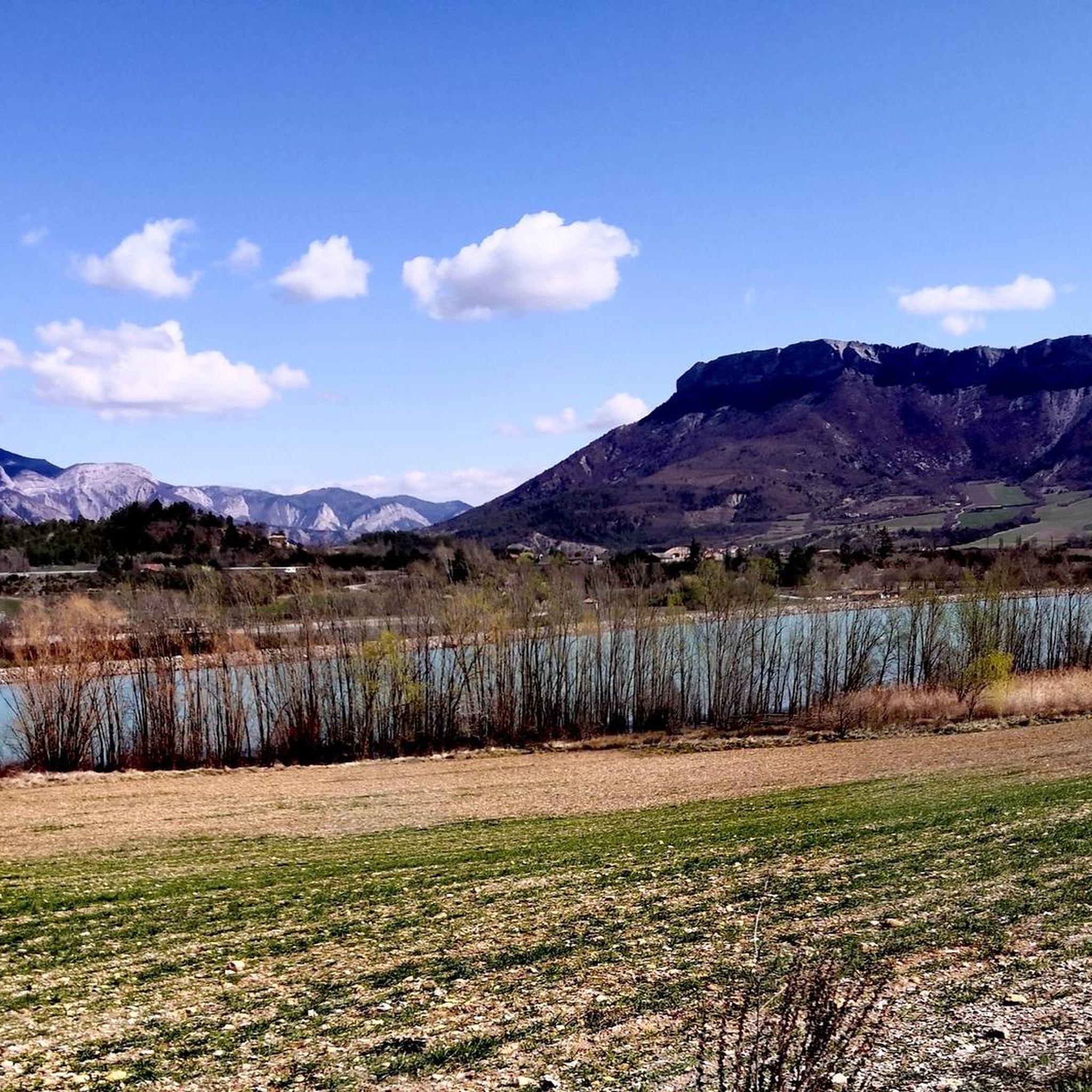
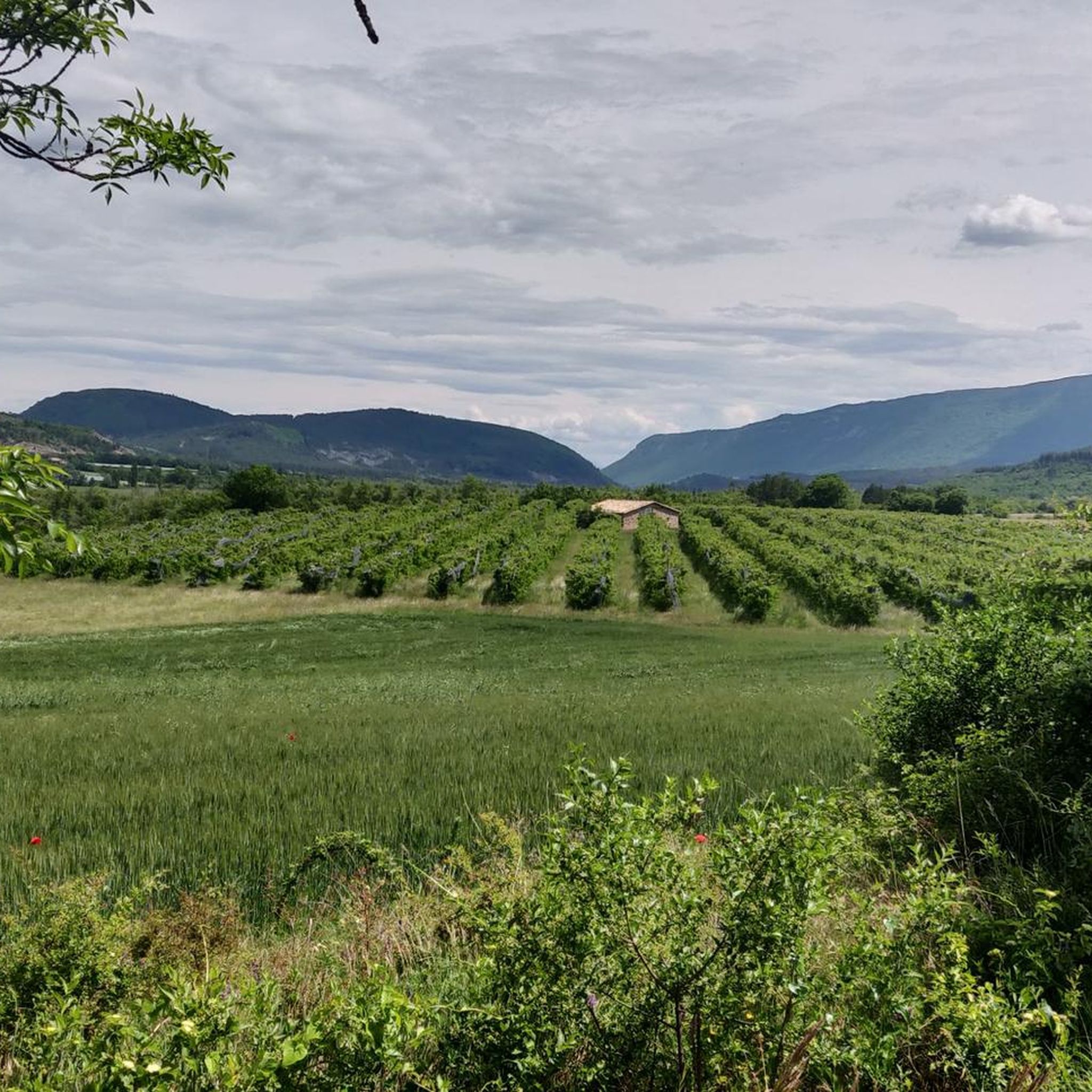
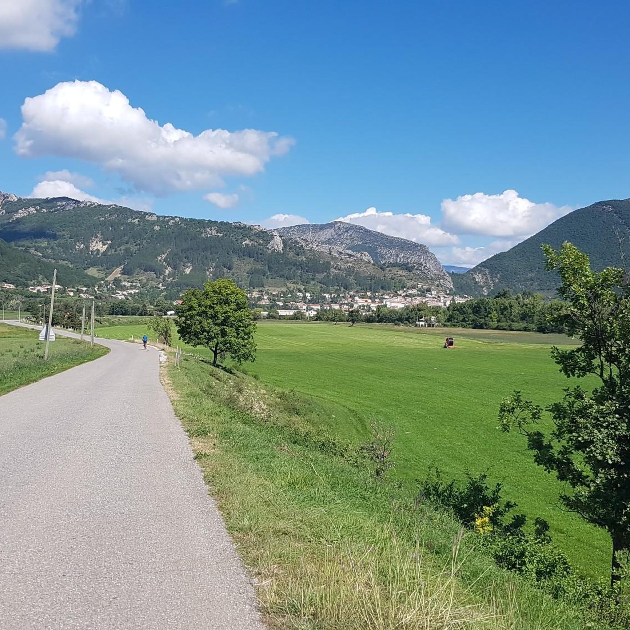
Road cycling routes around Méreuil traverse a landscape characterized by significant elevation changes, including numerous cols and passes within the Baronnies Provençales and near the Massif de Céüse. The region features a mix of open mountain views and routes that may pass historical sites like La Charce Castle. Road cyclists can expect challenging climbs and descents across varied terrain.
Best road cycling routes around Méreuil
- The most popular road cycling route is Three Cols of the Baronnies Provençales Loop,…
Last updated: September 28, 2026
4.0
(1)
23
riders
121km
06:22
2,260m
2,260m
This difficult 75.4-mile road cycling route in the Parc naturel régional des Baronnies Provençales climbs three cols with 7426 feet of gain.
4.6
(13)
133
riders
68.5km
03:19
920m
920m
Hard road ride. Very good fitness required. Mostly well-paved surfaces and easy to ride.

4.3
(7)
108
riders
94.9km
05:04
1,850m
1,850m
Hard road ride. Very good fitness required. Mostly well-paved surfaces and easy to ride.
41
riders
102km
04:41
1,150m
1,150m
Hard road ride. Very good fitness required. Mostly well-paved surfaces and easy to ride.
5.0
(1)
34
riders
147km
07:00
2,010m
2,010m
Hard road ride. Very good fitness required. Mostly well-paved surfaces and easy to ride.
Get access to more routes and recommendations from other explorers.
Already have an account?
Our route recommendations are based on thousands of hikes, rides, and runs completed by other people on komoot.
Start today with a free account
Your next adventure awaits.

Tips from the Community

Discovery of a small part of the loop. I really enjoyed this route and it made me want to discover the loop in its entirety.
0
0

Building maintained in excellent condition.
10
0
The Haut-Buëch circuit is a 77 km loop around Veynes, which crosses several mountain passes. Classified as difficult, it mainly takes place on shared roads (100%), has an elevation gain of 827 meters, and is recommended for experienced cyclists. The estimated travel time is about 6 hours and 29 minutes. Points of interest along the route include the Veynes railway workers' ecomuseum and the castle of Aspremont.
7
0
Ascent on a secondary road, very easy slopes. Be careful of the slightly slippery asphalt.
7
0
Secondary road away from traffic. Asphalt in perfect condition.
11
0
For cyclists: * West side (Montauban-sur-l’Ouvèze / La Combe): 11-12.5 km with an average gradient of around 5%, maximum about 9%. Steady climb, never extreme. * East side (Laborel): 8.5 km at 5.6% on average, with peaks up to 7.7%. This is the shorter and smoother side.
15
0
For cyclists it's a climb: * Length: approx. 7 km * Elevation gain: approx. 320 m * Average gradient: 4.6% * Maximum gradient: approx. 5%
7
0
The Col de Soubeyrand (987–994 m, depending on the map source) is located in the Drôme department, in the Auvergne-Rhône-Alpes region, within the Baronnies provençales massif. It connects the Eygues valley with the Ennuye valley, between the villages of Rémuzat and Sainte-Jalle.
10
0
Frequently Asked Questions
What kind of terrain can I expect on road cycling routes around Méreuil?
Road cycling routes around Méreuil are characterized by significant elevation changes, including numerous cols and passes within the Baronnies Provençales and near the Massif de Céüse. You can expect a mix of open mountain views and challenging climbs and descents across varied terrain.
Are there easy road cycling routes suitable for beginners in Méreuil?
Yes, while many routes are challenging, there are approximately 5 easy road cycling routes around Méreuil. These routes offer a gentler introduction to the region's beautiful landscapes.
What are some challenging road cycling routes for experienced riders?
Méreuil is known for its challenging routes. For experienced riders, the Three Cols of the Baronnies Provençales Loop is a difficult 75.4-mile (121.3 km) trail featuring multiple mountain passes. Another demanding option is the Col de la Haute Beaume loop from Serres, offering a substantial climb and expansive views.
Are there any loop cycling routes around Méreuil?
Many of the road cycling routes in Méreuil are designed as loops, allowing you to start and finish in the same location. Examples include the Three Cols of the Baronnies Provençales Loop and the La Charce Castle – Col de Carabès loop from Serres.
What can I see along the road cycling routes in Méreuil?
Along the routes, you can explore historical sites and natural landmarks. Notable attractions include the historic La Charce Castle, the scenic Faye Pass, and the dramatic Gorges du Riou. The routes also pass through charming settlements like Orpierre and Serres.
What is the best season for road biking in Méreuil?
The best season for road biking in Méreuil is typically spring and autumn when temperatures are milder and the landscapes are vibrant. Summer can be very warm, especially in the valleys, so early morning rides are recommended. Winter can bring snow to higher passes, making some routes inaccessible.
What do other road cyclists enjoy most about road cycling in Méreuil?
The road cycling routes in Méreuil are highly rated by the komoot community, with an average score of 4.4 stars from over 100 reviews. Cyclists often praise the challenging mountain passes, the stunning views of massifs, and the opportunity to pass by historic landmarks.
Are there any scenic viewpoints along the road cycling routes?
Yes, Méreuil offers numerous scenic viewpoints. Many routes provide expansive views of the Baronnies Provençales and the Massif de Céüse. Specific highlights include the View from the Summit of Rocher de Saint-Michel and the vistas from the Faye Pass.
How many road cycling routes are available around Méreuil?
There are over 45 road cycling routes available around Méreuil, catering to various skill levels from easy to difficult. This includes 5 easy routes, 21 moderate routes, and 22 difficult routes.
What should I bring for a road cycling trip in Méreuil?
Given the significant elevation changes and varied terrain, it's advisable to bring appropriate cycling gear, including a helmet, water bottles, snacks, and repair tools. Layered clothing is recommended to adapt to changing temperatures, especially when ascending or descending cols. Don't forget sunscreen and sunglasses for sunny days.
Are there routes that offer views of the Massif de Céüse?
Absolutely. Routes like the View from the foot of the Massif de Céüse – Faye Pass loop from Serres specifically highlight the impressive Massif de Céüse, offering stunning vistas of this prominent natural feature.
Can I find cafes or places to rest along the road cycling routes?
While specific cafes are not listed for every route, many routes pass through or near small villages and towns like Serres and Orpierre, where you can typically find local cafes or bakeries to refuel and rest. It's always a good idea to carry sufficient water and snacks, especially on longer, more remote sections.
Most popular attractions around Méreuil

Get inspired with the komoot mobile app


Explore more
Browse the best Road cycling routes in other regions.
