The best road cycling routes around Trescléoux
4.4
(192)
3,634
riders
98
rides
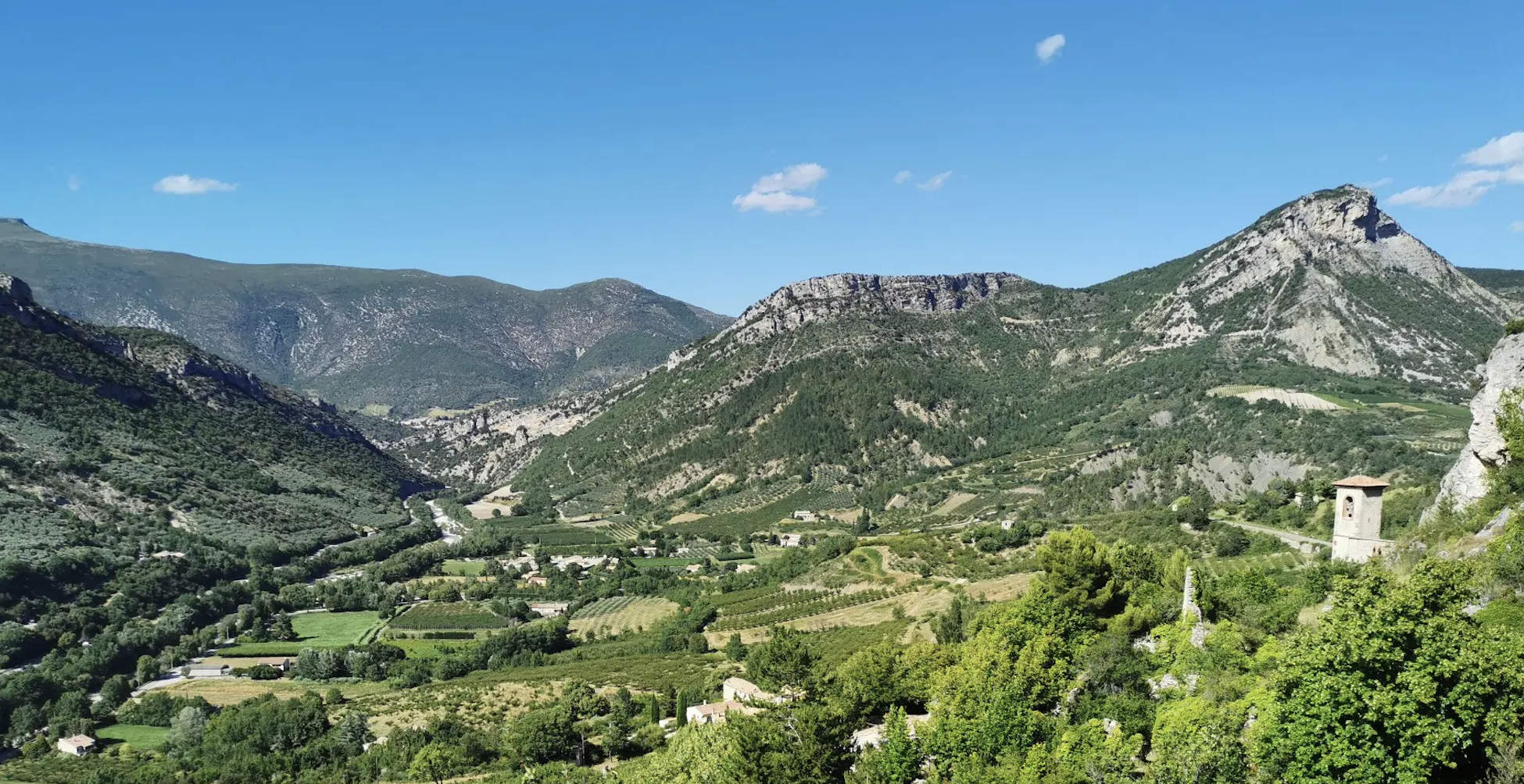
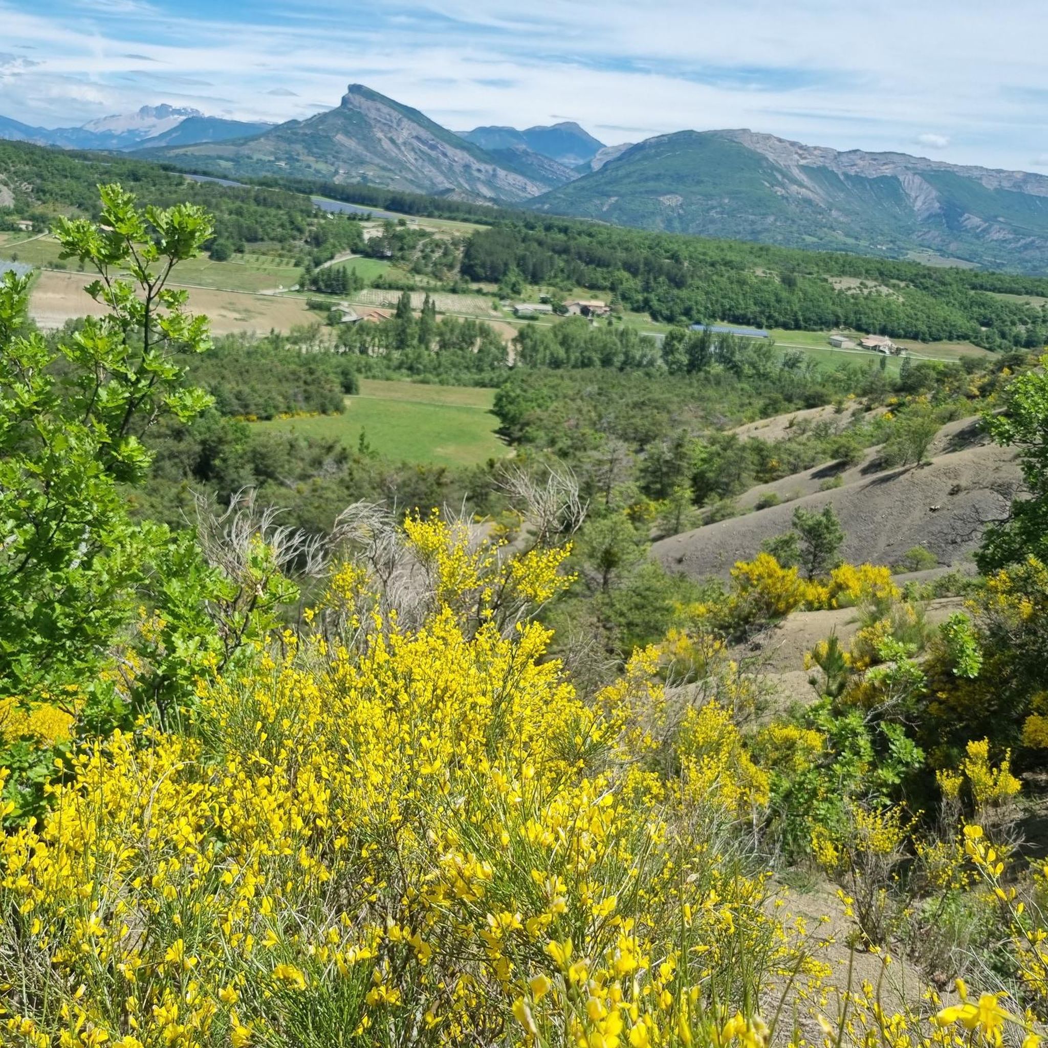
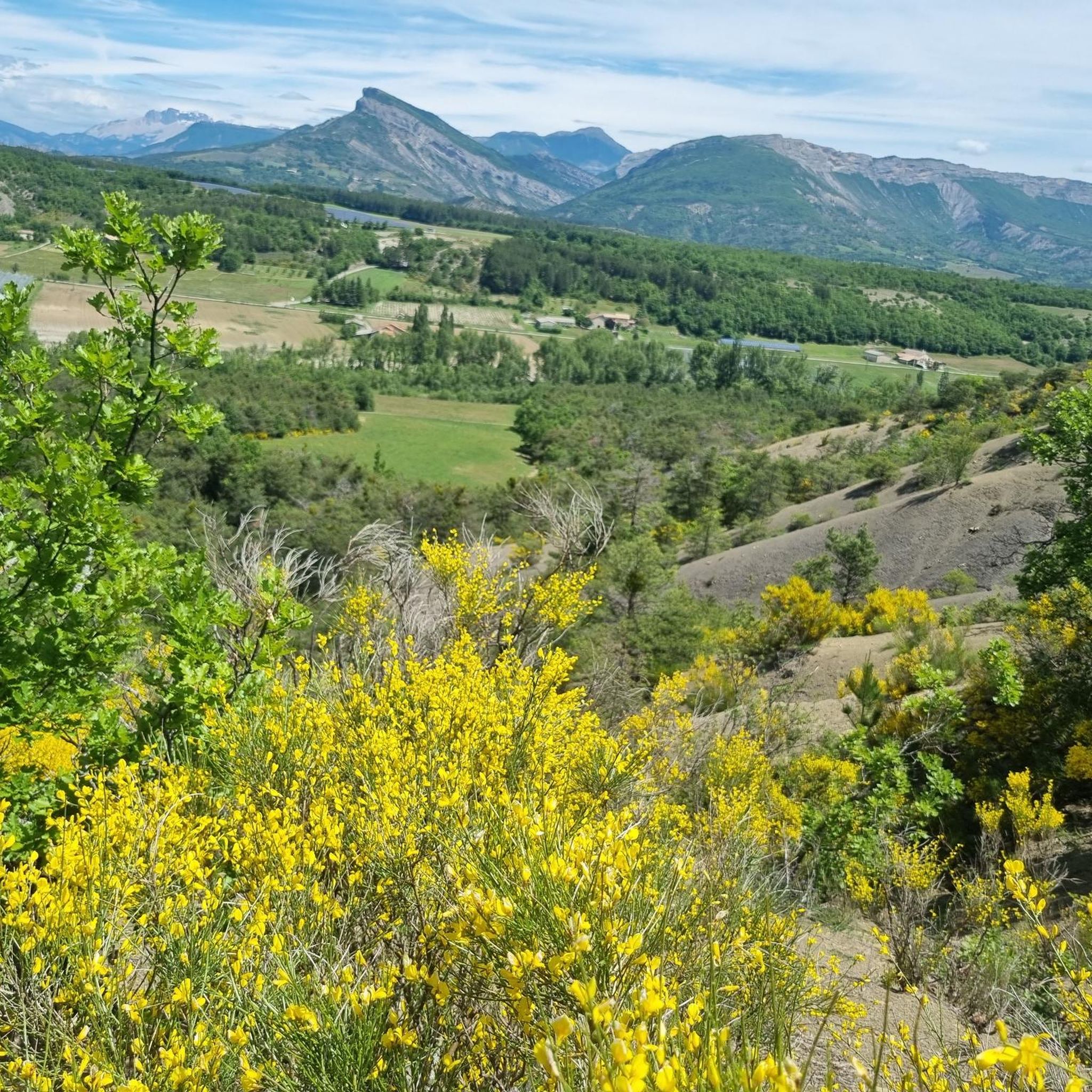
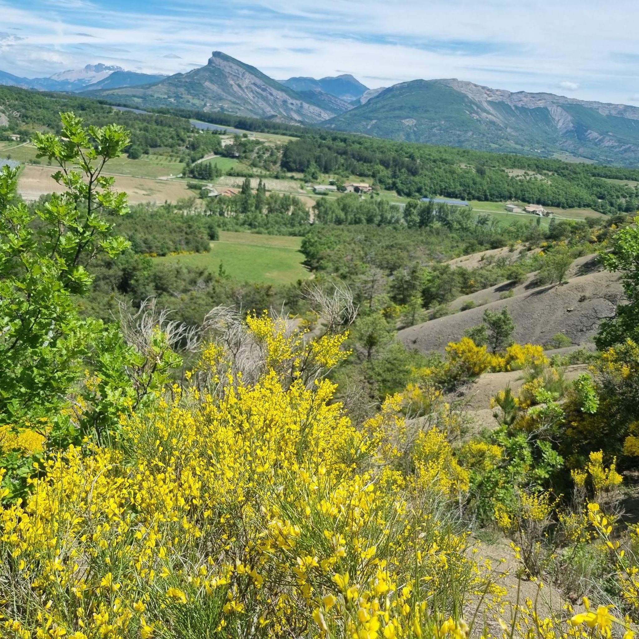
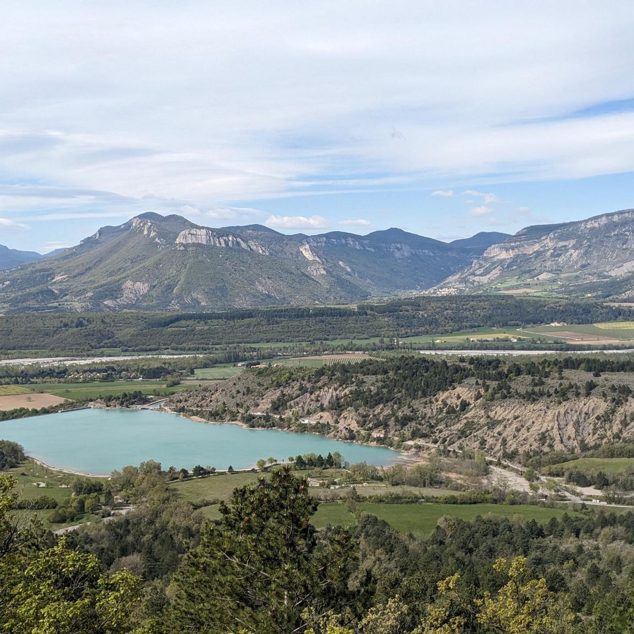
Road cycling routes around Trescléoux navigate a landscape characterized by its mountainous terrain, featuring numerous passes and valleys. The region offers varied elevation changes, making it suitable for different levels of road cycling. Road cyclists can expect routes that traverse through natural settings, often incorporating features like dams and scenic viewpoints.
Best road cycling routes around Trescléoux
- The most popular road cycling route is Bachassette Pass – Buesch dam loop from Garde-Colombe, a 38.6 miles (62.1 km) trail that…
Last updated: August 18, 2026
3.8
(10)
158
riders
61.3km
02:47
690m
690m
Moderate road ride. Good fitness required. Mostly well-paved surfaces and easy to ride.
4.7
(7)
66
riders
63.7km
02:53
720m
720m
Moderate road ride. Good fitness required. Mostly well-paved surfaces and easy to ride.

Sign up for free
4.7
(3)
78
riders
44.7km
02:23
890m
890m
Moderate road ride. Good fitness required. Mostly well-paved surfaces and easy to ride.
4.0
(1)
44
riders
44.3km
02:49
970m
970m
Hard road ride. Very good fitness required. Some segments of this route may be unpaved and difficult to ride.
23
riders
35.0km
01:43
540m
540m
Moderate road ride. Good fitness required. Mostly well-paved surfaces and easy to ride.
Get access to more routes and recommendations from other explorers.
Sign up for free
Already have an account?
Our route recommendations are based on thousands of hikes, rides, and runs completed by other people on komoot.
Start today with a free account
Your next adventure awaits.
Login or Signup
Other adventures around Trescléoux

Tips from the Community

Cross the spectacular cluse of Sigottier, a narrow gorge carved by the Aiguebelle stream between imposing limestone walls.
14
0
The Sigottier road (RD 27) is one of the most beautiful scenic roads in the Sigottier area, in the Hautes-Alpes.
16
0
The D 48 is an important departmental road in the Val-d'Oise that crosses Argenteuil, Cormeilles-en-Parisis, Montigny-lès-Cormeilles, and Herblay. It runs parallel to the A15 motorway at a certain distance.
13
0
Secondary road away from traffic. Asphalt in perfect condition.
10
0
For cyclists: * West side (Montauban-sur-l’Ouvèze / La Combe): 11-12.5 km with an average gradient of around 5%, maximum about 9%. Steady climb, never extreme. * East side (Laborel): 8.5 km at 5.6% on average, with peaks up to 7.7%. This is the shorter and smoother side.
14
0
Building maintained in excellent condition.
11
0
Col de Perty is located in the Baronnies Provençales massif, in the Drôme department, in the Auvergne-Rhône-Alpes region, in the southeast of France. It reaches an altitude of 1,302 m and connects the Ouvèze valley with the Orpierre area, in the Hautes-Alpes.
13
0
Altitude: 1,159 m * Region: Drôme, on the border with the Hautes-Alpes department. * Connects: the villages of Laborel and Lachau with the Céans valley.
6
0
Frequently Asked Questions
How many road cycling routes are available around Trescléoux?
There are nearly 100 road cycling routes in the Trescléoux region, offering a wide range of options for different skill levels. You'll find 16 easy, 42 moderate, and 39 difficult routes to explore.
Are there easy road cycling routes suitable for beginners in Trescléoux?
Yes, Trescléoux offers 16 easy road cycling routes. These routes typically feature gentler gradients and shorter distances, perfect for those new to road cycling or looking for a relaxed ride. Many of these routes traverse through scenic valleys, providing a pleasant introduction to the region's landscape.
Where can I find challenging road bike climbs around Trescléoux?
The mountainous terrain around Trescléoux is ideal for advanced cyclists seeking climbs, with 39 difficult routes available. These routes often include significant passes and varied elevation profiles. For example, the Bachassette Pass – Buesch dam loop from Garde-Colombe features a notable pass and considerable elevation gain.
What is the typical length of road cycling routes in Trescléoux?
Route lengths vary significantly in Trescléoux. Moderate routes like the Serres – Montjay loop from Orpierre are around 35 miles (57 km), while others, such as the Faye Pass – Buesch dam loop from Orpierre, extend to nearly 40 miles (64 km). Shorter options are also available for those preferring quicker rides.
Are there any loop road cycling routes in Trescléoux?
Yes, many of the road cycling routes in Trescléoux are designed as loops, allowing you to start and finish at the same point. Examples include the Bachassette Pass – Buesch dam loop from Garde-Colombe and the Orpierre loop from Saléon, providing convenient circular journeys through the region's diverse landscapes.
What are some scenic road cycling routes near Trescléoux?
Trescléoux is known for its scenic routes that often incorporate natural features like dams and passes. The Bachassette Pass – Buesch dam loop from Garde-Colombe is a popular choice, offering varied gradients and picturesque views. Routes often traverse through natural settings, providing beautiful vistas of the surrounding mountains and valleys.
What can I see along the road cycling routes in Trescléoux?
Road cycling routes in Trescléoux offer opportunities to see stunning natural attractions. You can cycle near the dramatic Gorges de la Méouge, known for its impressive canyons and swimming spots. The region also features various mountain peaks and viewpoints, such as the Saint-Ange Pass, offering panoramic views.
What do other road cyclists enjoy the most about road cycling in Trescléoux?
The road cycling experience in Trescléoux is highly rated by the komoot community, with an average score of 4.4 stars from over 120 reviews. Cyclists often praise the varied terrain, which includes challenging passes and scenic dam-side rides, as well as the natural beauty of the region's landscapes.
When is the best time of year for road cycling in Trescléoux?
The best time for road cycling in Trescléoux is typically from late spring to early autumn. During these months, the weather is generally mild and sunny, making for comfortable riding conditions. Summer offers warm temperatures, ideal for exploring the region's passes and valleys.
Are there any road cycling routes that pass by cafes or places to refuel in Trescléoux?
While specific routes are not highlighted for cafes, many routes in the Trescléoux region pass through or near small villages and towns. These settlements often provide opportunities to find local cafes or shops where you can refuel and take a break. Planning your route with komoot allows you to identify such points of interest along the way.
Are there family-friendly road cycling options in Trescléoux?
While Trescléoux is characterized by its mountainous terrain, the 16 easy routes available can be suitable for families or those looking for less strenuous rides. These routes often feature gentler gradients and are a great way to enjoy the region's natural beauty at a relaxed pace. Always check the route details for elevation and distance to ensure it matches your family's ability.
Where can I find parking for road cycling routes near Trescléoux?
Parking availability varies by trailhead. Many routes start from villages or towns like Garde-Colombe or Orpierre, where public parking is generally available. It's advisable to check the starting point of your chosen route on komoot for specific parking information or local recommendations.
Most popular routes around Trescléoux
Most popular attractions around Trescléoux

Get inspired with the komoot mobile app


Explore more
Browse the best Road cycling routes in other regions.
