Top 6 Mountain Passes around La Piarre
Best mountain passes around La Piarre are found in the Hautes-Alpes department of southeastern France. This commune is situated at elevations ranging from 760 to 1760 meters above sea level, offering a rural setting. The region provides access to several mountain passes, primarily for hikers and cycle tourists. La Piarre serves as a base for exploring the surrounding natural landscape.
Best mountain passes around La Piarre
- The most popular mountain pass is Col de Carabès, a mountain pass that…
Last updated: September 29, 2026
Col de Carabès
Highlight • Mountain Pass
Showing Translation
Tip by

Cabre Pass (1,180 m)
Highlight (Segment) • Mountain Pass
Showing Translation
Tip by
Sign up now to discover places like this
Get recommendations on the best single tracks, peaks, & plenty of other exciting outdoor places.
Col de Rossas
Highlight • Mountain Pass
Translated by Google •
Tip by

Col des Tourette (1126 m)
Highlight • Mountain Pass
Showing Translation
Tip by
Col de la Saulce (877 m)
Highlight • Mountain Pass
Showing Translation
Tip by
Sign up for free to discover even more mountain passes around La Piarre.
Already have an account?
Start today with a free account
Your next adventure awaits.

Tips from the Community

Not a very demanding climb. Asphalt in excellent condition.
5
0
Col de la Saulce is a pass in the Baronnies, located in the Hautes-Alpes department, at an altitude of 874 m. It connects the Eygues valley with the Buëch valley and is crossed by the departmental road D994.
11
0
The Col de Carabès is a mountain pass located in the French Alps, on the border between the departments of Drôme and Hautes-Alpes.
19
0
Col de Cabre is a mountain pass located in the southeast of France, between the departments of Drôme and Hautes-Alpes, in the regions Auvergne-Rhône-Alpes and Provence-Alpes-Côte d'Azur.
18
0
Colle di Cabre is an alpine pass located at an altitude of 1,180 meters, on the border between the French departments of Drôme and Hautes-Alpes, in the Auvergne-Rhône-Alpes region. It connects the Diois valley, to the west, with the Buëch valley, to the east, representing one of the main passages in the southern French Alps.
12
0

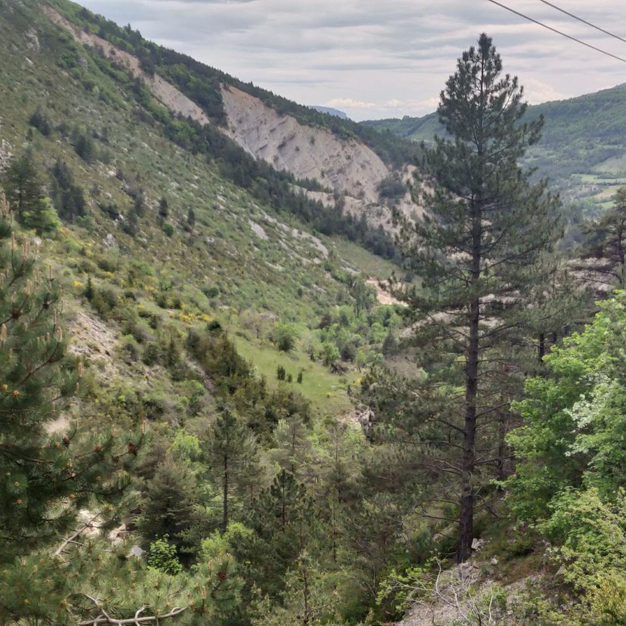
Much better alternative than the main road from the Drôme towards Gap. Almost no traffic, on average 4-5% on both sides, but short stretches also 7-8%. On the south side beautiful rock formations and gorge, north side less spectacular, more between trees.
5
0

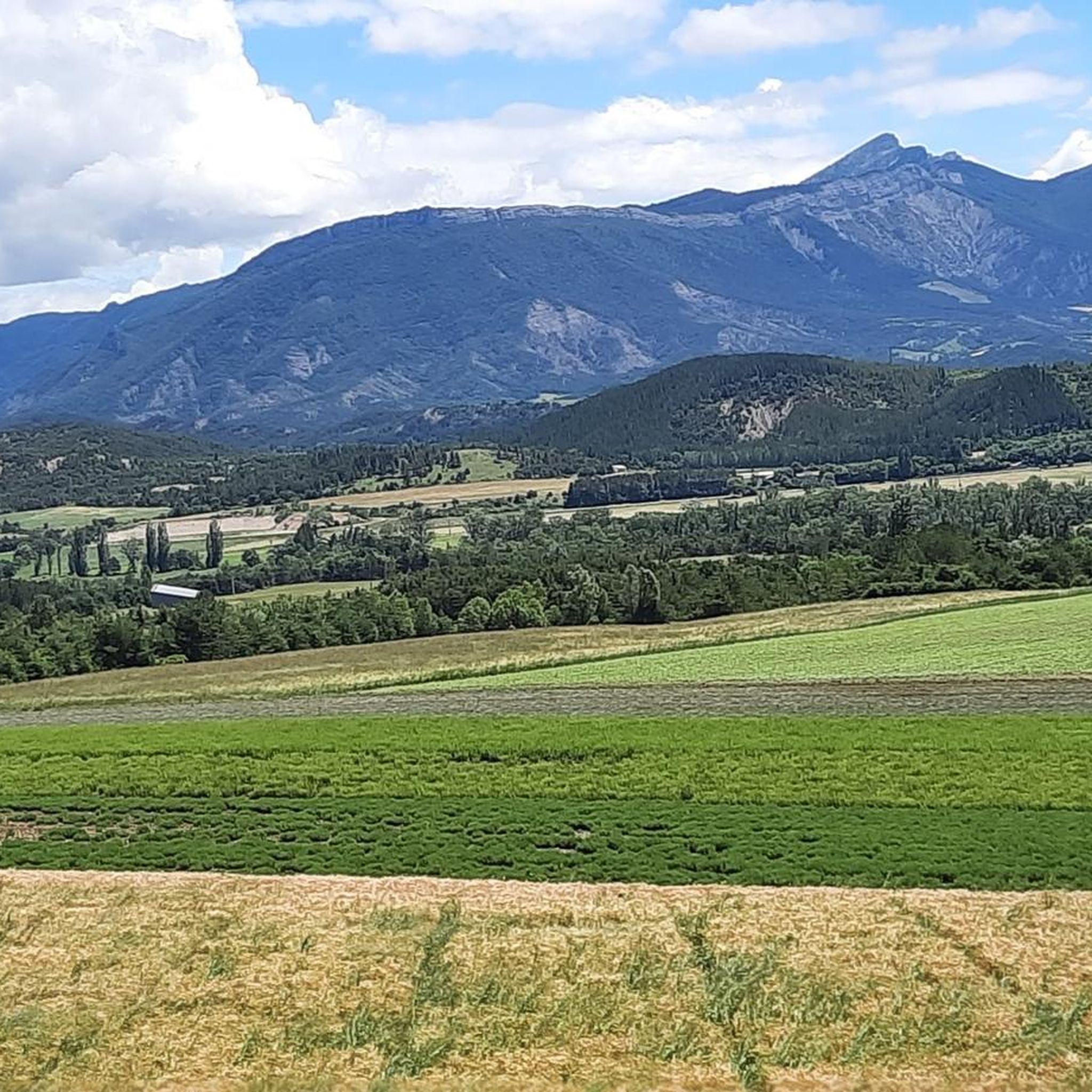
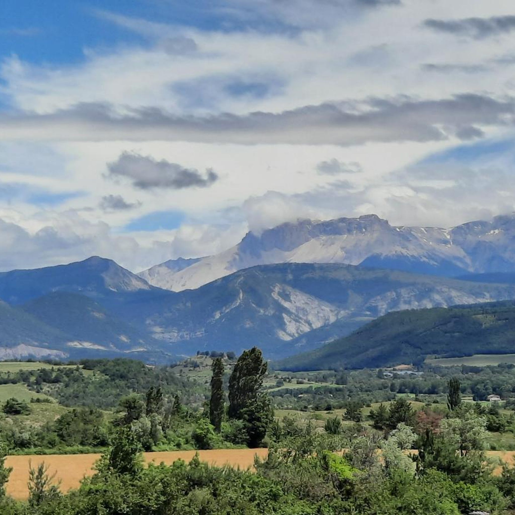
Very beautiful panorama on the Hautes Alpes side
4
0

To reach the pass, it takes around fifteen kilometers from the Oule valley. The slope becomes steeper from Montmorin where it is around 6%. The road winds between the mountains of Chauvet and Maraysse. The position offers a splendid view of these two mountains.
1
0
Frequently Asked Questions
What are the most scenic mountain passes around La Piarre?
The region offers several passes with beautiful views. The Col de Carabès is known for its beautiful panoramas, especially on the Hautes-Alpes side. The Col des Tourette (1126 m) provides a splendid view of the Chauvet and Maraysse mountains. Additionally, the Col de Rossas offers superb views of the plateau you've climbed.
Are there mountain passes suitable for cycling near La Piarre?
Yes, many passes in the area are popular with cyclists. The Col de Carabès is a rewarding challenge, with ascents from Valdrôme (9.7 km, 4.9% avg) and Sigottier (10.5 km, 5.15% avg). The Col des Tourette (1126 m) is also a popular cycling spot, with an ascent from Montmorin featuring an average gradient of 5.9%. For more cycling routes, explore the Road Cycling Routes around La Piarre.
What kind of hiking opportunities are available near the mountain passes?
The region around La Piarre offers various hiking opportunities. While the Col des Tourette (1126 m) is known for cycling, it also provides access to hiking trails. For more dedicated hiking and running options, you can explore the Running Trails around La Piarre, which include routes like the 'Arambre – Le Trou de la Lune loop from Serres'.
Which mountain passes are known for low traffic, offering a peaceful experience?
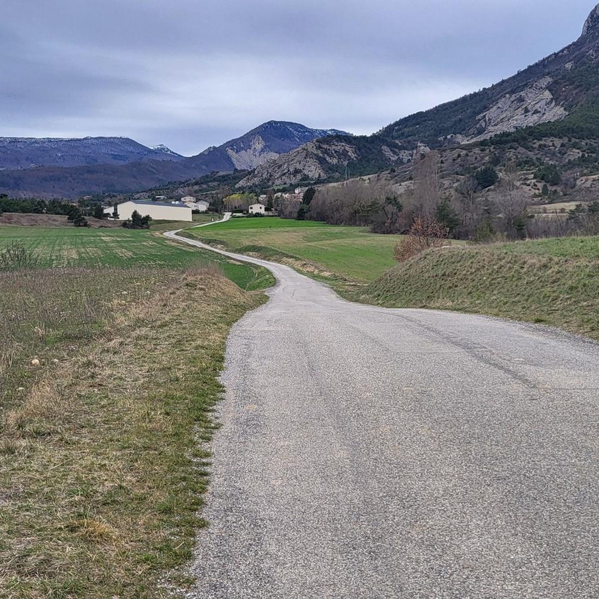
The Col de Carabès is described as having a narrow, little-traveled road with very low traffic, making for a peaceful experience. Similarly, cyclists appreciate the Col des Tourette (1126 m) for its clean road and very few cars. The road to Col de Rossas is also noted for being rather calm.
Are there any shelters available on the mountain passes?
Yes, a shelter is available at the Col de Carabès, which can be used for breaks or overnight stays. However, it's important to note that water is not available at this shelter.
What are the gradients like for climbing the mountain passes?
The gradients vary by pass and ascent direction. For the Col de Carabès, the ascent from Valdrôme is 9.7 km long with an average gradient of 4.9%, while from Sigottier it's 10.5 km with an average gradient of 5.15%. The Col des Tourette (1126 m) has an ascent from Montmorin that is 6.1 km long with an average gradient of 5.9%. The Col de la Haute Beaume (1268 m) includes sections with gradients up to 10% from La Faurie, and is shorter but steeper from La Beaume. The Col de Rossas features 6.4 kilometers of ascent between 6.5% and 7% from Valdrôme.
Can I find gravel routes near the mountain passes?
Yes, there are options for gravel riding. A gravel route from La Piarre utilizes the road to Col de Carabès, allowing you to bypass the Montagne de Lapus Duffre and the Valdrôme resort from the south. For more off-road cycling, check out the MTB Trails around La Piarre.
What do visitors enjoy most about the mountain passes around La Piarre?
Visitors frequently highlight the stunning panoramic views, the peaceful environment due to low traffic, and the rewarding challenges for cyclists. The scenic routes, such as the D27 over the Col de Carabès and the winding roads of the Col des Tourette (1126 m), are particularly appreciated. The komoot community has contributed 54 upvotes and 9 photos across the highlights, reflecting positive experiences.
Are there any mountain passes that offer a more leisurely drive with good views?
Yes, the Col de la Saulce (877 m), traversed by the D94, is described as a rather leisurely drive that consistently offers wonderful panoramic views of the landscape. The section around Rosans, in particular, provides beautiful vistas through an open valley.
What is the highest mountain pass mentioned in the area?
Among the passes highlighted, the Col de la Haute Beaume (1268 m) reaches an elevation of 1268 meters, making it one of the higher passes in the immediate vicinity of La Piarre.
Can I expect to see wildlife on the mountain passes?
While not guaranteed, the tranquil and rural nature of the region increases the chances of spotting wildlife. On the calm road to Col de Rossas, it's not uncommon to encounter sheep and goats in the surrounding pastures. Further afield, in areas like the Ecrins National Park, chamois can be observed on higher mountain passes.
Most popular routes around La Piarre
Most popular attractions around La Piarre

Get inspired with the komoot mobile app


Explore more
See even more epic mountain passes by checking out these guides around La Piarre:
