The best road cycling routes around Sauveterre
4.1
(10)
456
riders
34
rides
Road cycling routes around Sauveterre navigate a landscape characterized by rolling hills, dense woodlands, and river valleys. The region offers varied terrain, from gentler paths suitable for leisure rides to more challenging ascents. Road cyclists can expect routes that traverse natural parks and provide views of the local countryside.
Best road cycling routes around Sauveterre
- The most popular road cycling route is Olargues Railway Bridge – View of Olargues Village loop from Saint-Amans-Soult, a 61.9 miles (99.7 km) trail…
Last updated: May 24, 2026
4.0
(1)
68
riders
99.7km
04:46
1,060m
1,060m
Hard road ride. Very good fitness required. Some segments of this route may be unpaved and difficult to ride.
4.0
(1)
42
riders
30.4km
01:30
470m
470m
Moderate road ride. Good fitness required. Mostly well-paved surfaces and easy to ride.

Sign up for free
34
riders
45.3km
02:16
670m
680m
Moderate road ride. Good fitness required. Some segments of this route may be unpaved and difficult to ride.
23
riders
Moderate road ride. Great for any fitness level. Some segments of this route may be unpaved and difficult to ride.
14
riders
88.9km
04:35
1,260m
1,250m
Hard road ride. Very good fitness required. Some segments of this route may be unpaved and difficult to ride.
Get access to more routes and recommendations from other explorers.
Sign up for free
Already have an account?
Our route recommendations are based on thousands of hikes, rides, and runs completed by other people on komoot.
Start today with a free account
Your next adventure awaits.
Login or Signup
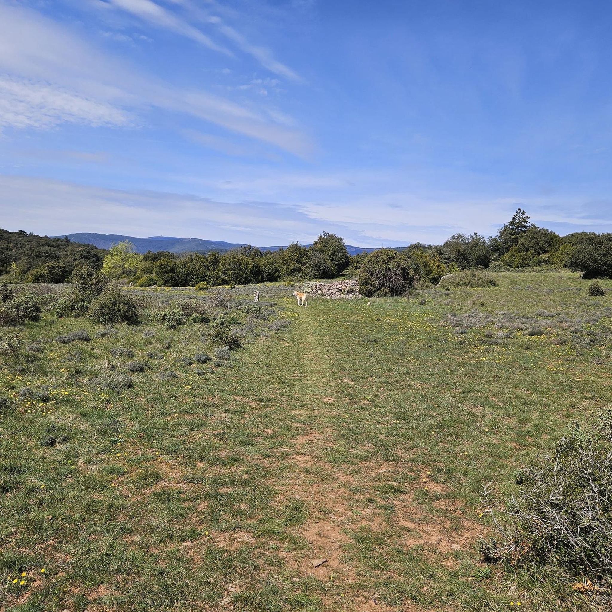
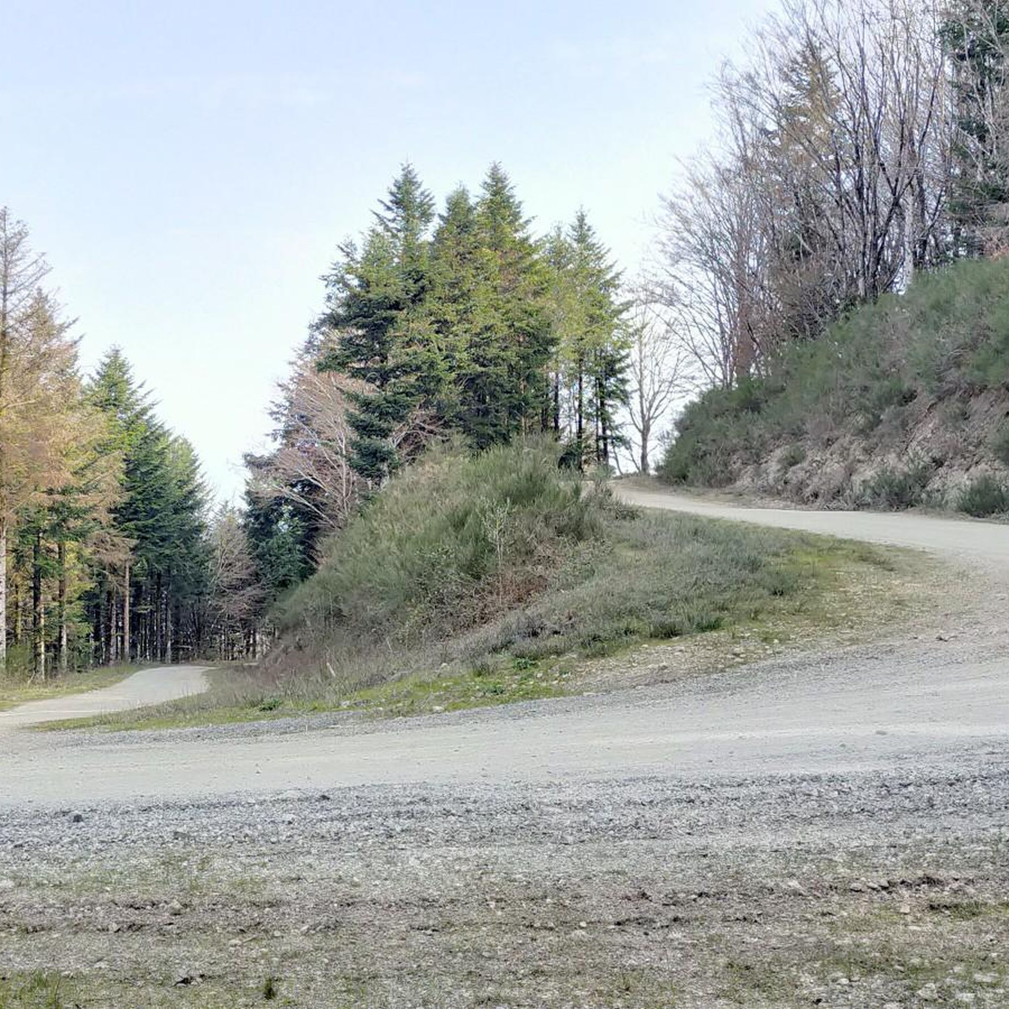
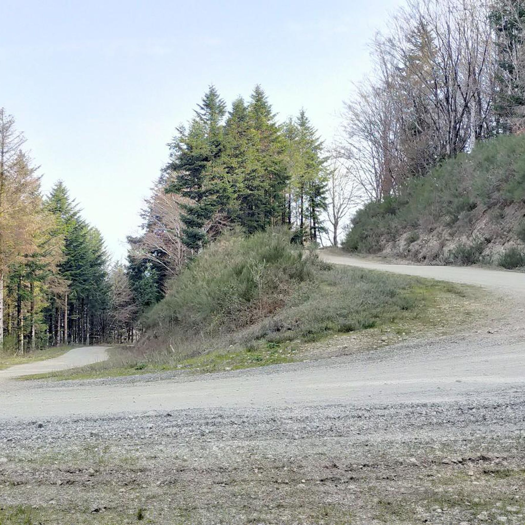

Tips from the Community

Nice 7km climb (300m D+) via the D54 starting from Pont-de-Larn.
0
0


The village of Riols, a small industrial center specializing in draperies and woolens in the 19th century, is located on the "Passa Païs" greenway. Points of interest include the Banasse bridge over the Jaur river, the Church of Saint Peter and Paul, and its main thoroughfare, Rue Basse.
1
0

The town of Riols is located between Saint Pons de Thomières and Olargues, on the Passa Païs greenway. On either side of the Jaur valley, from Lake Vesoles to the former 19th-century Ardouane Abbey, this very large town has many hiking trails leading to the Monts du Somail. The magnificent Banasse bridge over the Jaur, as well as the Saint-Pierre-et-Paul church and the layout of Rue Basse, the main artery, bear witness to the prosperity of the textile industry, particularly drapery, from the 16th century. From the village, a small road leads to the Cabarétou pass, a real challenge for sporty cyclists. The Passa Païs Greenway invites fans of gentle journeys to daydream... The Notre-Dame-de-Trédos chapel, as emblematic as it is majestic, is worth the hike or bike ride leading to its doors. Our tips for starting your bike, walking, trail rides... in Riols: - The Place du Foirail car park is ideal if you are using your vehicle to get to the start. It is located on the right bank of the Jaur, south of the village. - Riols is served by LIO / Hérault Transport bus lines 682 and 685: https://plan.lio-occitanie.fr/fr/horaires/Riols/arret/RIOLS%20-%20CENTRE/LIO:1002511 - During the summer, from the beginning of July to the end of September, between Saint Pons de Thomières and Bédarieux, the buses on line 682 are equipped with racks allowing the transport of 6 bikes. A telephone reservation service is set up (09 72 57 44 45). A little bit of history: The history of Riols is linked to that of Saint-Pons-de-Thomières: in 936, the founding act of the abbey mentions the donation made to the monastery by Raymond Pons, Count of Toulouse, of the lands of Tarbouriech, Coumayres, Condades, Cassillac and Rieulets. In 940, the Archbishop of Narbonne gave the churches of Saint-Pierre-de-Riols and Notre-Dame-de-Tredos to the Abbot of Saint-Pons. In 1318, when the diocese of Saint-Pons was created, the Abbot became bishop and the monks formed the chapter of the cathedral. The income of the abbey was then separated: in Riols, the chapter retained the seigneurial rights over the lands of Garrigues, while the bishop retained the rest of the seigneury. During the Revolution, the rare possessions of the clergy and emigrants were sold. In the 19th century, Riols, with more than 2,000 inhabitants, became a small industrial center, with more than a dozen clothiers and wool mills.
1
0

The linguistic proximity of the "Pont Eiffel", which spans the river Jaur here at Olargues, and the low mountain range "Eifel" in the far west of Germany is no coincidence: The family of the designer - whose world-famous tower of Paris (named after its builder) is probably known to everyone - has German roots. The ancestors of the Eiffel Tower builder Gustave EIFFEL come from the Eifel town of Marmagen (in the Euskirchen district, North Rhine-Westphalia). The village square there - if you are interested, see the following hiking highlight https://www.komoot.com/de-de/highlight/1830307 - is named after him.
0
0

The Col de Fontfroide is more demanding on the second part, as for the tour of the Lac de la Salvetat, no major difficulty, some small bumps in the ass, but in a breathtaking setting as the lake offers such a lovely spectacle under the sun. Bring something to hydrate because in hot weather, the temperature can quickly rise, but the lake is not far away to cool off.
0
0

This charming medieval village is located between Mazamet and Bédarieux. Its emblematic Devil's Bridge, its small streets and its views of the Montagne Noire are worth a detour.
1
0

The Gorges du Banquet form a canyon dug by the Arn that can be crossed at the level of the D53 (route du Vintrou) with various viewpoints from the top of the cliffs.
0
0
Frequently Asked Questions
How many road cycling routes are available around Sauveterre?
There are over 30 dedicated road cycling routes around Sauveterre listed on komoot. These routes cater to various skill levels, with a focus on moderate and difficult rides through the region's diverse terrain.
What kind of terrain can I expect on road cycling routes in Sauveterre?
Road cycling around Sauveterre is characterized by rolling hills, dense woodlands, and scenic river valleys. You'll find varied terrain, from undulating paths to more demanding climbs, often traversing natural parks and offering expansive views of the local countryside. The region's profile, similar to areas like Sauveterre-de-Rouergue, suggests a good workout with significant elevation gains on many routes.
Are there any easy road cycling routes in Sauveterre suitable for beginners?
While Sauveterre offers many routes, the majority are classified as moderate or difficult, with 12 moderate and 19 difficult routes. There are no routes specifically categorized as 'easy' in this guide. Cyclists should be prepared for some climbs and varied terrain.
What do other road cyclists enjoy most about cycling in Sauveterre?
The road cycling routes in Sauveterre are highly rated by the komoot community, with an average score of 4.3 stars from over 10 reviews. Cyclists frequently praise the challenging yet rewarding terrain, the beautiful natural scenery including river gorges and forests, and the sense of accomplishment from tackling the region's varied ascents.
Are there any circular road cycling routes in Sauveterre?
Yes, many of the road cycling routes in Sauveterre are designed as loops, allowing you to start and finish in the same location. For example, the challenging Olargues Railway Bridge – View of Olarges Village loop from Saint-Amans-Soult is a 99.7 km circular route, and the moderate Gorges du Banquet – Banquet Gorges loop from Saint-Amans-Soult is a 30.2 km loop.
What are some scenic viewpoints or attractions along the road cycling routes?
The region offers several points of interest. You might encounter highlights such as the Pic de Nore, a prominent summit, or sections of the Passa Païs greenway. The routes often pass through charming settlements like Ferrals-les-Montagnes, providing glimpses into the local character and natural beauty.
What is the best time of year for road cycling in Sauveterre?
Given the varied terrain and potential for significant elevation, spring and autumn generally offer the most pleasant conditions for road cycling in Sauveterre. Temperatures are milder, and the natural landscapes are vibrant. Summer can be warm, especially on exposed climbs, while winter may bring colder temperatures and potentially challenging conditions in higher areas.
Are there any routes that offer a mix of scenic views and manageable climbs?
Absolutely. The Saint-Amans-Valtoret – Fox Mural on the Voie Verte loop from Saint-Amans-Soult is a moderate 32.2 km path that provides a good balance of scenic views and manageable climbs, making it a popular choice for those seeking a rewarding ride without extreme difficulty.
Can I find routes that explore river gorges and forested areas?
Yes, the region is known for its river valleys and extensive forests. The Gorges du Banquet – Banquet Gorges loop from Saint-Amans-Soult is an excellent example, leading you directly through impressive river gorges and lush forested areas, offering a truly immersive natural experience.
Are there any particularly challenging routes for experienced road cyclists?
For experienced road cyclists seeking a significant challenge, the Olargues Railway Bridge – View of Olargues Village loop from Saint-Amans-Soult is a difficult 99.7 km route with over 1000 meters of elevation gain. Another demanding option is the Fenille Tunnel – Riols loop from Rouairoux, which covers 69.1 km with nearly 1000 meters of ascent.
Where can I find information about parking for road cycling routes in Sauveterre?
While specific parking details for each trailhead are not always listed in the guide, routes often start from towns or villages like Saint-Amans-Soult or Rouairoux. In such locations, public parking is generally available. It's advisable to check local municipal websites or use navigation apps for parking options near your chosen starting point.
Are there any historical or cultural points of interest along the routes?
While the guide focuses on natural landscapes, the broader 'Sauveterre' regions in France, such as Sauveterre-de-Rouergue, are known for their well-preserved medieval villages and bastides. Cyclists in the Sauveterre area may encounter similar historical elements, adding a cultural dimension to their rides through the French countryside.
Most popular attractions around Sauveterre

Get inspired with the komoot mobile app


Explore more
Browse the best Road cycling routes in other regions.
