The best running trails around Talairan
4.3
(9)
309
runners
42
runs
Jogging around Talairan offers diverse landscapes, from extensive vineyards to the fragrant scrubland known as La Garrigue. The region is characterized by its varied terrain, including the initial foothills of the Pyrénées and mountainous vistas. These features provide a range of inclines and descents, suitable for different running experiences.
Best jogging routes around Talairan
- The most popular jogging route is Le carla loop from Lagrasse, a 10.5 miles (16.9 km) trail that takes 1 hour 57 minutes to complete.…
Last updated: July 31, 2026
16
runners
20.4km
02:32
530m
530m
Hard run. Very good fitness required. Mostly accessible paths. Some sure footedness required.
4.0
(1)
7
runners
17.4km
02:01
370m
370m
Hard run. Very good fitness required. Mostly accessible paths. Some sure footedness required.

Sign up for free
4.0
(2)
6
runners
Moderate run. Good fitness required. Mostly paved surfaces. Suitable for all skill levels.
3.0
(1)
4
runners
5.41km
00:37
110m
110m
Moderate run. Good fitness required. Mostly paved surfaces. Suitable for all skill levels.
5
runners
7.81km
00:53
140m
140m
Hard run. Good fitness required. Sure-footedness, sturdy shoes and alpine experience required.
Get access to more routes and recommendations from other explorers.
Sign up for free
Already have an account?
Our route recommendations are based on thousands of hikes, rides, and runs completed by other people on komoot.
Start today with a free account
Your next adventure awaits.
Login or Signup
Tips from the Community

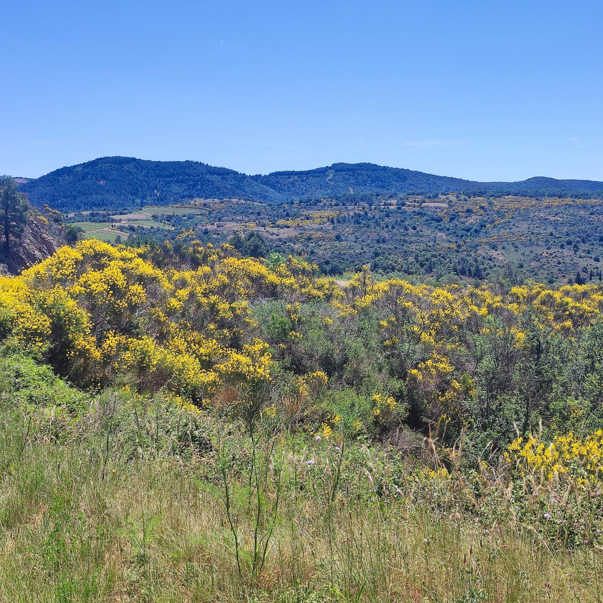
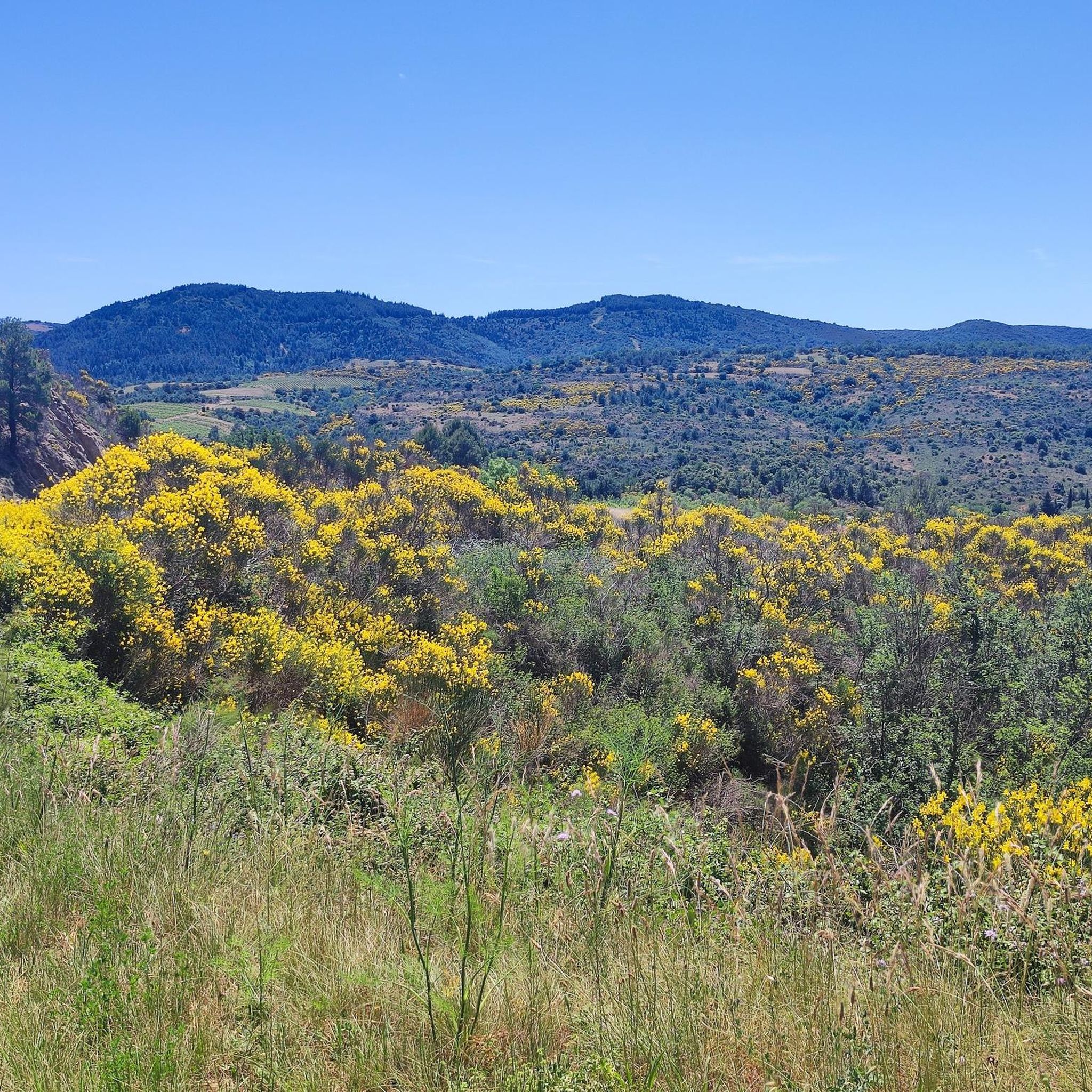
Magnificent view of the Corbières and the Pyrenees from Mont Major (Pech de Blanès).
0
0

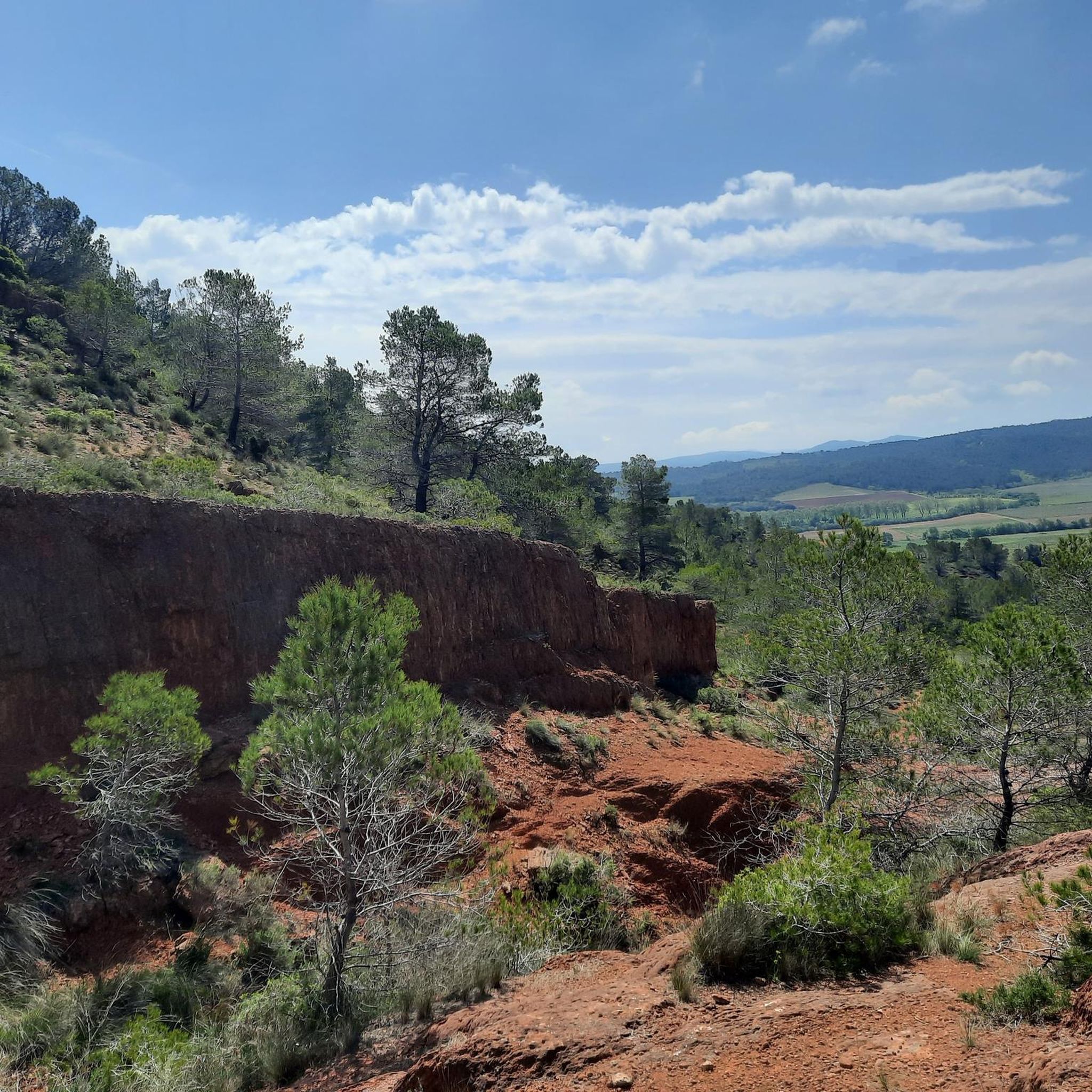
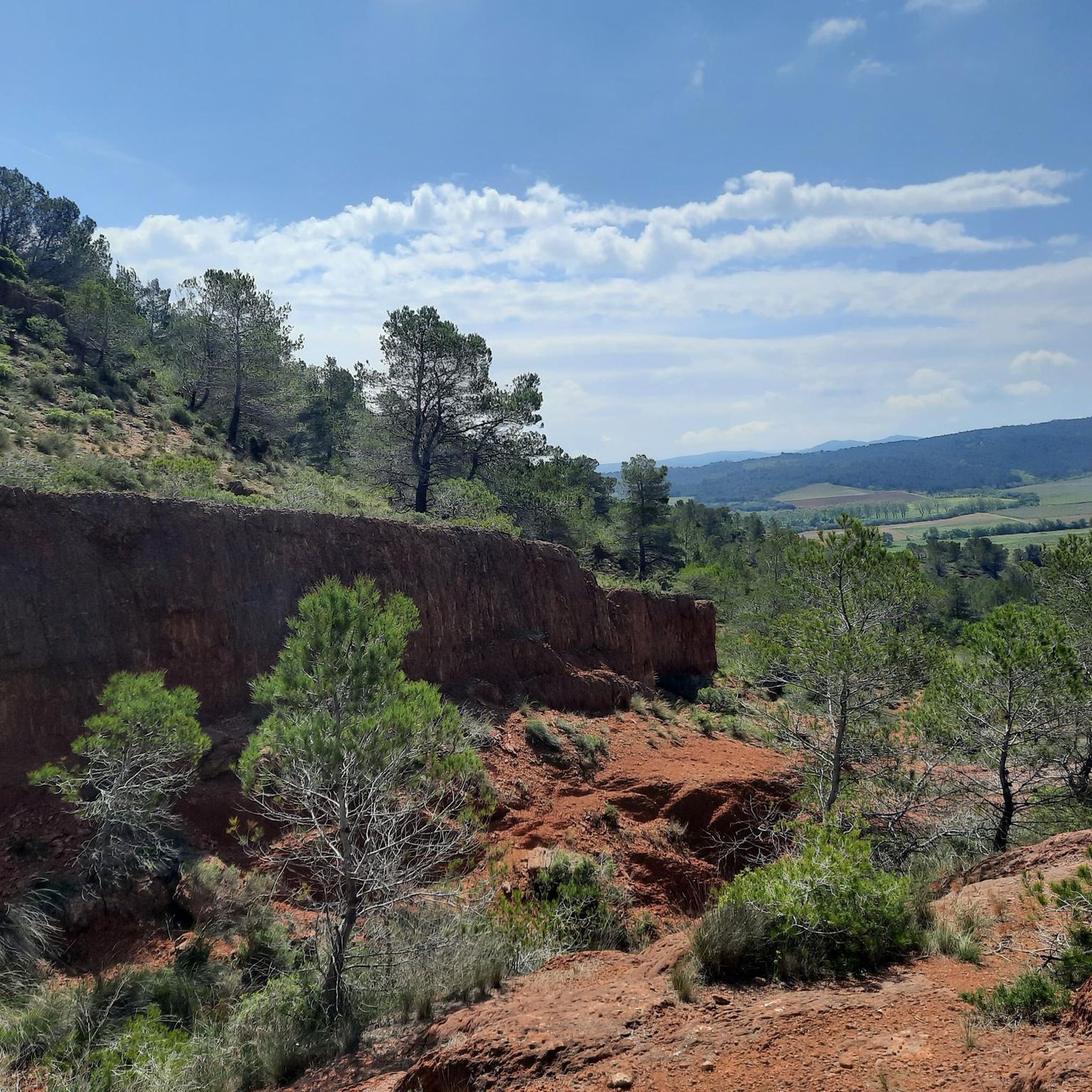
The Orbieu river crosses the Aude department in France and has its source at Fourtou in the Corbières massif. The river has formed the famous Gorges de l'Orbieu. It is an ideal place to rest and swim.
0
0
Frequently Asked Questions
How many running routes are available around Talairan?
There are over 40 running routes around Talairan, offering a diverse range of experiences. These include routes through vineyards, the fragrant scrubland known as La Garrigue, and the initial foothills of the Pyrénées.
Are there any easy or moderate jogging routes in the Talairan area?
Yes, while Talairan is known for its challenging terrain, there are several moderate options. For a good moderate run, consider the Pech de la Garrigue – Pech des Floretades loop from Saint-Laurent-de-la-Cabrerisse, which covers about 9.4 km. Another moderate option is the Running loop from Saint-Laurent-de-la-Cabrerisse, a shorter 5.4 km path.
What kind of terrain can I expect on Talairan's running trails?
The terrain around Talairan is quite varied. You'll encounter paths winding through extensive vineyards, the aromatic scrubland of La Garrigue, and the rolling hills that mark the foothills of the Pyrénées. This mix provides a range of inclines and descents, from relatively flat sections to more challenging climbs.
What do other runners say about jogging in Talairan?
The running routes in Talairan are highly rated by the komoot community, with an average score of 4.3 stars from over 8 reviews. Runners often praise the diverse landscapes, from vineyards to scrubland, and the challenging yet rewarding inclines that offer panoramic views.
Are there any circular running routes around Talairan?
Many of the routes in the area are designed as loops, perfect for a circular run. For example, the challenging Le carla loop from Lagrasse is a 16.9 km circular trail. Another popular option is the Running loop from Talairan, which is 17.3 km and takes you through varied local terrain.
What are some scenic points or natural attractions I might see while running near Talairan?
The region offers several scenic spots. You might encounter dramatic landscapes like the Terminet Gorges or the Congoust Gorges. There are also viewpoints such as La Frau viewpoint, offering expansive vistas. Keep an eye out for natural features like the Waterfall on the Orbieu River Near Saint-Pierre-des-Champs.
Is Talairan a good destination for challenging trail running?
Absolutely. Talairan's varied topography, including the initial foothills of the Pyrénées, provides excellent opportunities for challenging trail running. Routes like the Pech de Blanes – Mount Major loop from Saint-Pierre-des-Champs, at 19.3 km with significant elevation gain, are perfect for experienced trail runners seeking a demanding workout and panoramic views.
Are there any historical or cultural landmarks near the running paths?
Yes, the area is rich in heritage. The Gourg Goutonnier Trail, for instance, allows you to discover the rural chapel of Notre Dame de l'Ere. You might also catch a View of Termes castle from some routes, or pass through charming settlements like Lagrasse.
What is the best time of year to go jogging in Talairan?
The region's climate makes spring and autumn particularly pleasant for jogging, with milder temperatures and vibrant natural colors. Summer can be warm, so early morning or late evening runs are advisable. Winter offers a different, often quieter, experience, though some higher elevation paths might be cooler.
Where can I find parking for the running routes in Talairan?
While specific parking details for every route vary, Talairan and surrounding villages like Lagrasse and Saint-Pierre-des-Champs typically offer public parking areas. It's advisable to check local signage upon arrival or consult detailed route descriptions on komoot for specific starting points and parking suggestions.
Are there any options for public transport to access trails around Talairan?
Talairan is a rural village, and public transport options directly to trailheads may be limited. Access is generally easier by car. However, local bus services might connect Talairan to larger towns, from which you could potentially start a run or connect to a trail. For detailed information, it's best to check local transport schedules for the Aude department.
Most popular attractions around Talairan

Get inspired with the komoot mobile app


Explore more
Browse the best Running Trails & Routes in other regions.
