The best walks and hikes around Laneuveville-En-Saulnois
4.8
(64)
256
hikers
42
hikes
Hiking around Laneuveville-En-Saulnois offers diverse natural landscapes within the Saulnois region of Moselle, France. The area is characterized by a blend of forests, ponds, and unique "salt meadows" along the Seille valley, all situated within the Lorraine Regional Natural Park. Notable geological features include the Côte de Delme, which provides expansive viewpoints over the Moselle hillsides. The terrain combines gentle paths through meadows with routes offering moderate elevation changes.
Best hiking trails around Laneuveville-En-Saulnois
- The most popular hiking route is…
Last updated: May 25, 2026
4.5
(10)
42
hikers
9.74km
02:39
150m
150m
Moderate hike. Good fitness required. Easily-accessible paths. Suitable for all skill levels.
5.0
(4)
16
hikers
7.35km
02:01
110m
110m
Moderate hike. Good fitness required. Easily-accessible paths. Suitable for all skill levels.

Sign up for free
10
hikers
5.01km
01:24
100m
100m
Easy hike. Great for any fitness level. Easily-accessible paths. Suitable for all skill levels.
5.0
(1)
4
hikers
12.9km
03:31
190m
190m
Moderate hike. Good fitness required. Easily-accessible paths. Suitable for all skill levels.
7
hikers
5.32km
01:30
110m
110m
Easy hike. Great for any fitness level. Easily-accessible paths. Suitable for all skill levels.
Get access to more routes and recommendations from other explorers.
Sign up for free
Already have an account?
Our route recommendations are based on thousands of hikes, rides, and runs completed by other people on komoot.
Start today with a free account
Your next adventure awaits.
Login or Signup
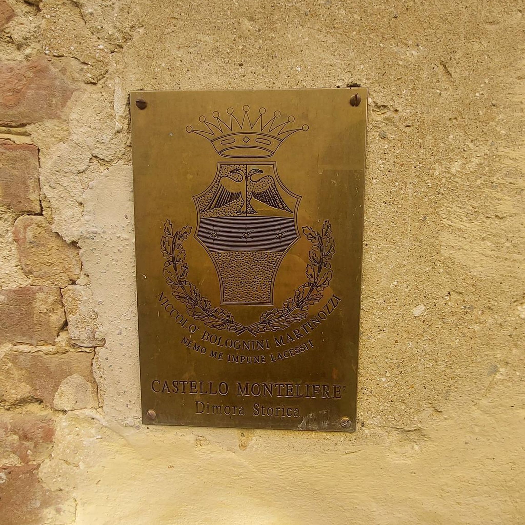
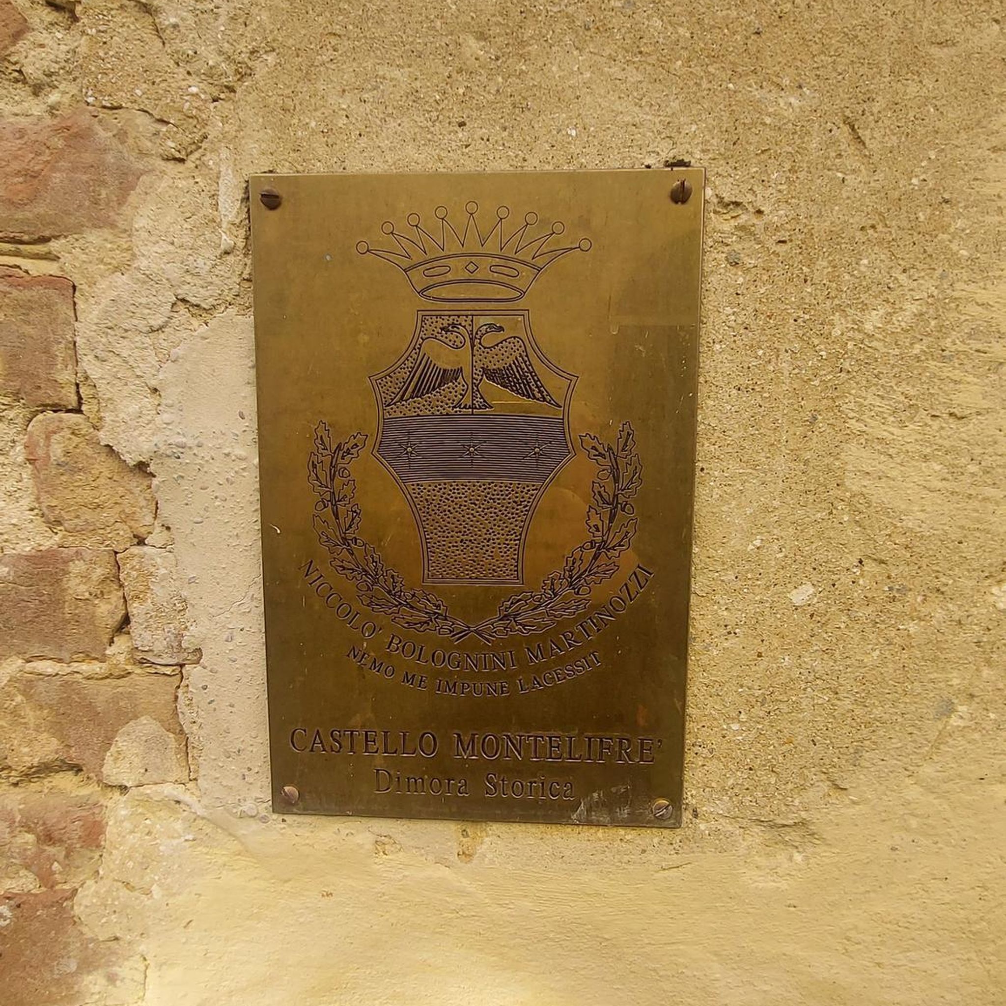
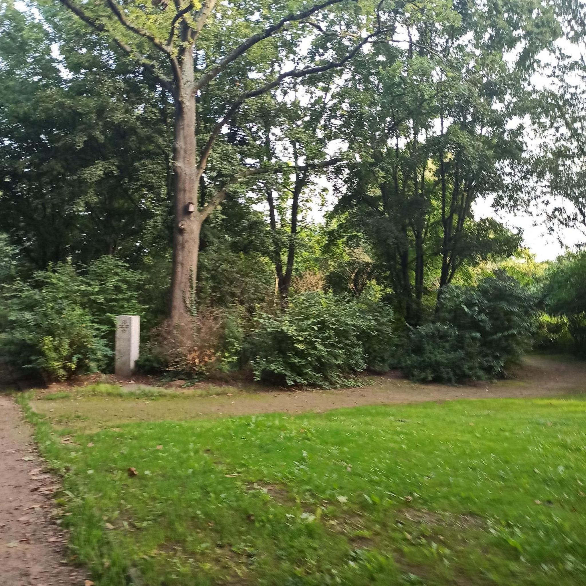
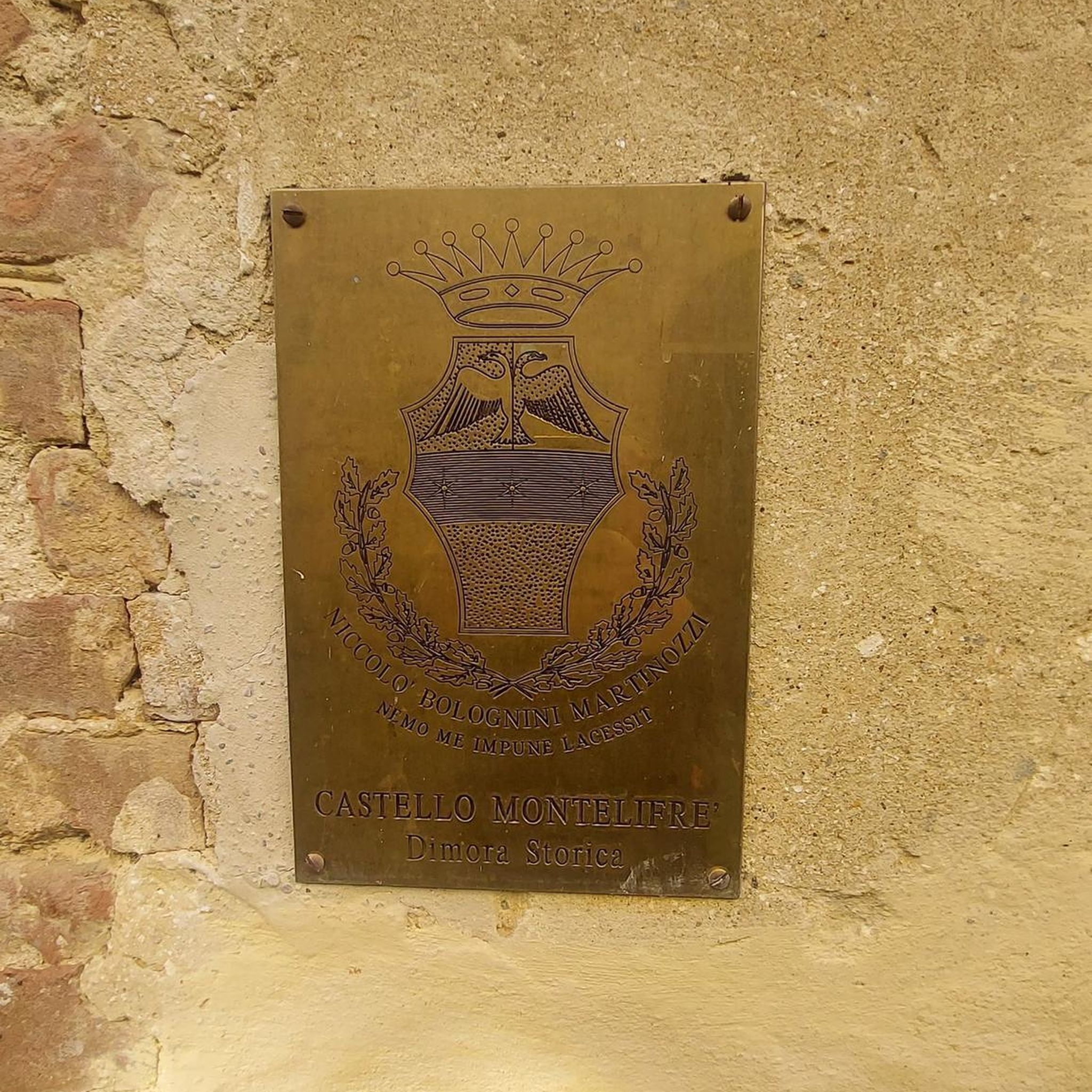
Tips from the Community

Magnificent south-facing view
0
0

Culminating at an altitude of 400 meters, the Côte de Delme has more than 100 ha of limestone lawns offering an unobstructed view of the Saulnois and the Nied valley. The Côte de Delme is part of a regional nature reserve. There is a picnic area at the northern entrance to the reserve.
0
0
Frequently Asked Questions
How many hiking trails are available around Laneuveville-En-Saulnois?
There are over 40 hiking routes available around Laneuveville-En-Saulnois, offering a diverse range of experiences. These include easy walks through the unique salt meadows and more moderate climbs with panoramic views.
What is the best time of year to go hiking in the Saulnois region?
The Saulnois region, including Laneuveville-En-Saulnois, is beautiful for hiking throughout the warmer months, from spring to autumn. Spring brings blooming flora to the salt meadows, while autumn offers vibrant forest colors. The diverse natural landscapes, including forests and ponds, are enjoyable in mild weather. For more general outdoor activity information, you can visit Coeur de Lorraine Tourism.
Are there easy hiking options suitable for beginners or families?
Yes, the area offers several easy hiking options perfect for beginners or families. For example, the Ras loop from Xocourt is an easy 3.1-mile (5.0 km) path. Another accessible choice is the Hiking loop from Delme, which is 3.7 miles (5.9 km) long and leads through the Delme area.
Are there any circular walks in the area?
Many of the trails around Laneuveville-En-Saulnois are circular, allowing you to start and end at the same point. Examples include the Ras – Delme Hill Climb loop from Xocourt and the Côte de Delme loop from Puzieux. The region is known for its well-documented circuits, such as the 'Promenade romantique du Saulnois' and the 'Boucle de Jallaucourt'.
What kind of natural landscapes and features can I expect to see while hiking?
Hikers can expect to encounter a rich variety of natural landscapes. The region is famous for its unique 'salt meadows' along the Seille valley, which support distinctive flora and fauna. You'll also find extensive forests, picturesque ponds like the Étang de Blanche Fontaine, and geological formations such as the Côte de Delme, which offers expansive viewpoints over the Moselle hillsides. Streams like the Ruisseau de Viviers add to the scenic beauty.
What do other hikers enjoy the most about hiking in Laneuveville-En-Saulnois?
The hiking routes in Laneuveville-En-Saulnois are highly rated by the komoot community, with an average score of 4.8 stars from over 60 reviews. Hikers often praise the diverse terrain, from the unique salt meadows to the panoramic views from the Côte de Delme, and the well-maintained paths that cater to various ability levels.
Are there any notable landmarks or attractions to visit near the hiking trails?
Yes, there are several interesting landmarks and attractions nearby. You can explore historical sites like the Church of St Privat de Salonnes or the Saint-Privat Parish Church. The charming town of Vic-sur-Seille is also worth a visit, as is the Château des évêques de Metz. The Regional Nature Reserve of the Côte de Delme is also a protected area for nature observation.
Are the hiking trails in Laneuveville-En-Saulnois dog-friendly?
The Lorraine Regional Natural Park, where Laneuveville-En-Saulnois is located, generally welcomes dogs on trails, often requiring them to be on a leash to protect wildlife and ensure the safety of other hikers. It's always a good idea to check specific trail regulations or local signage, especially in sensitive areas like the salt meadows, to ensure a pleasant experience for you and your dog.
Is there public transport available to reach the hiking areas around Laneuveville-En-Saulnois?
Public transport options directly to Laneuveville-En-Saulnois may be limited, as it is a rural area. It is advisable to check local bus schedules for connections from larger towns in the Moselle department. Many hikers prefer to arrive by car, as parking is generally available near trailheads in the region.
Where can I find parking for the hiking trails?
Parking is typically available at or near the starting points of many hiking trails in the Laneuveville-En-Saulnois area. For instance, routes like the Ras – Delme Hill Climb loop and Ras loop both start from Xocourt, where parking facilities are usually accessible for hikers.
Are there any places to eat or drink near the hiking routes?
While Laneuveville-En-Saulnois itself is a small commune, nearby towns like Château-Salins and Vic-sur-Seille offer various options for cafes and restaurants where you can refuel after your hike. It's recommended to check opening hours in advance, especially in smaller villages.
What kind of wildlife can I spot while hiking in the Saulnois region?
The diverse habitats of the Saulnois region, including the unique salt meadows, forests, and ponds, support a variety of wildlife. You might spot various bird species, especially near the wetlands and ponds. The salt meadows, in particular, host flora and fauna typically found on coastlines, making for an unusual observation experience. Keep an eye out for small mammals and insects adapted to these unique environments.
Most popular routes around Laneuveville-En-Saulnois
Most popular attractions around Laneuveville-En-Saulnois

Get inspired with the komoot mobile app


Explore more
Browse the best Hikes in other regions.
