The best walks and hikes around Marseille-En-Beauvaisis
4.6
(84)
431
hikers
34
hikes
Hiking around Marseille-En-Beauvaisis offers routes through a landscape characterized by rolling agricultural fields, woodlands, and small villages. The region features gentle elevation changes, making many trails accessible for various fitness levels. Water features such as ponds and lakes are also present, providing varied scenery along some paths.
Best hiking trails around Marseille-En-Beauvaisis
- The most popular hiking route is Gerberoy centre ville — loop, a 5.7 miles (9.2 km) trail that takes 2 hours 32 minutes to complete, exploring the…
Last updated: May 8, 2026
4.7
(9)
69
hikers
9.18km
02:32
160m
160m
Moderate hike. Good fitness required. Easily-accessible paths. Suitable for all skill levels.
5.0
(3)
16
hikers
Hard hike. Very good fitness required. Easily-accessible paths. Suitable for all skill levels.

Sign up for free
4.6
(10)
22
hikers
9.23km
02:32
150m
150m
Moderate hike. Good fitness required. Easily-accessible paths. Suitable for all skill levels.
4.5
(4)
10
hikers
4.87km
01:20
80m
80m
Easy hike. Great for any fitness level. Easily-accessible paths. Suitable for all skill levels.
4.0
(3)
22
hikers
6.33km
01:43
90m
90m
Easy hike. Great for any fitness level. Easily-accessible paths. Suitable for all skill levels.
Get access to more routes and recommendations from other explorers.
Sign up for free
Already have an account?
Our route recommendations are based on thousands of hikes, rides, and runs completed by other people on komoot.
Start today with a free account
Your next adventure awaits.
Login or Signup
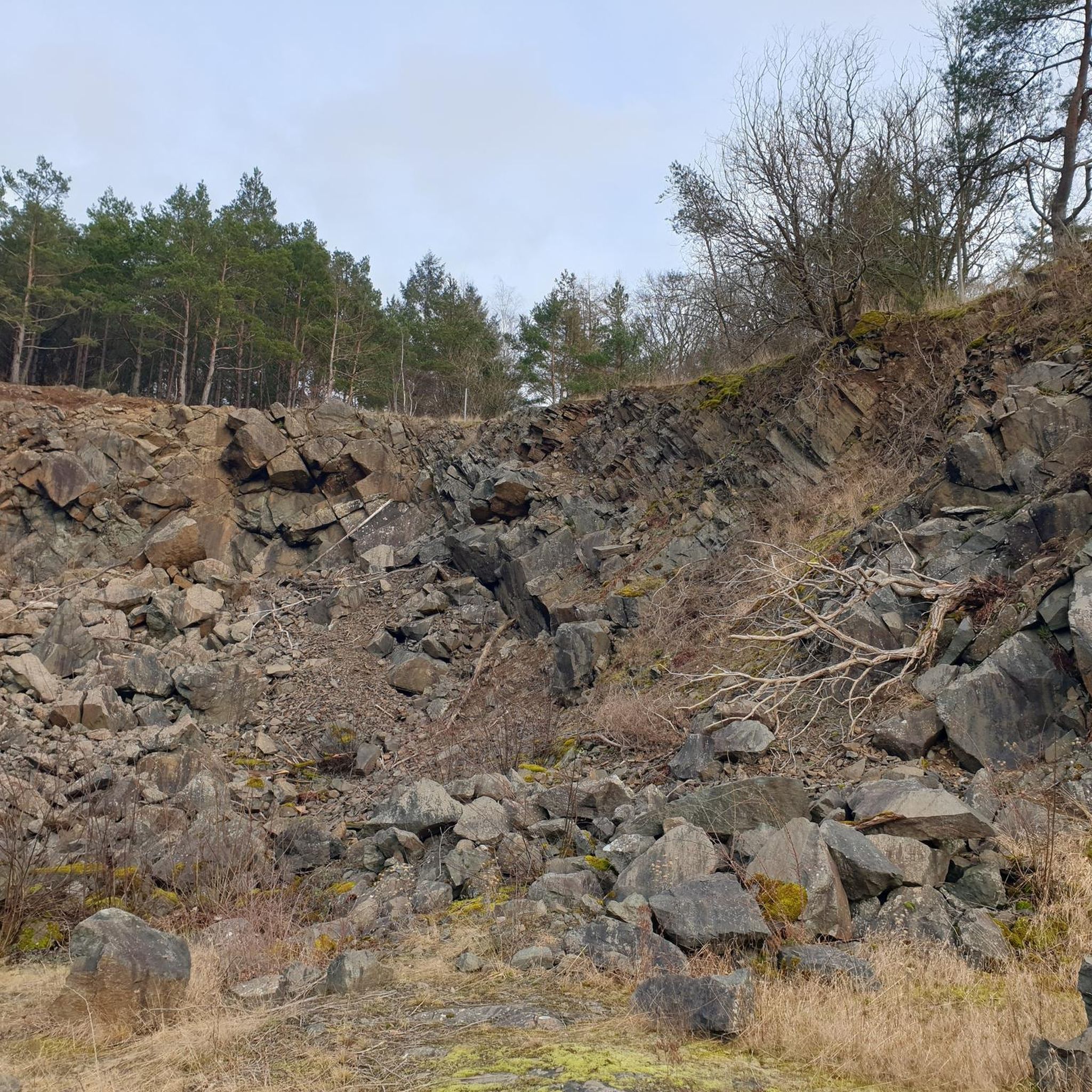


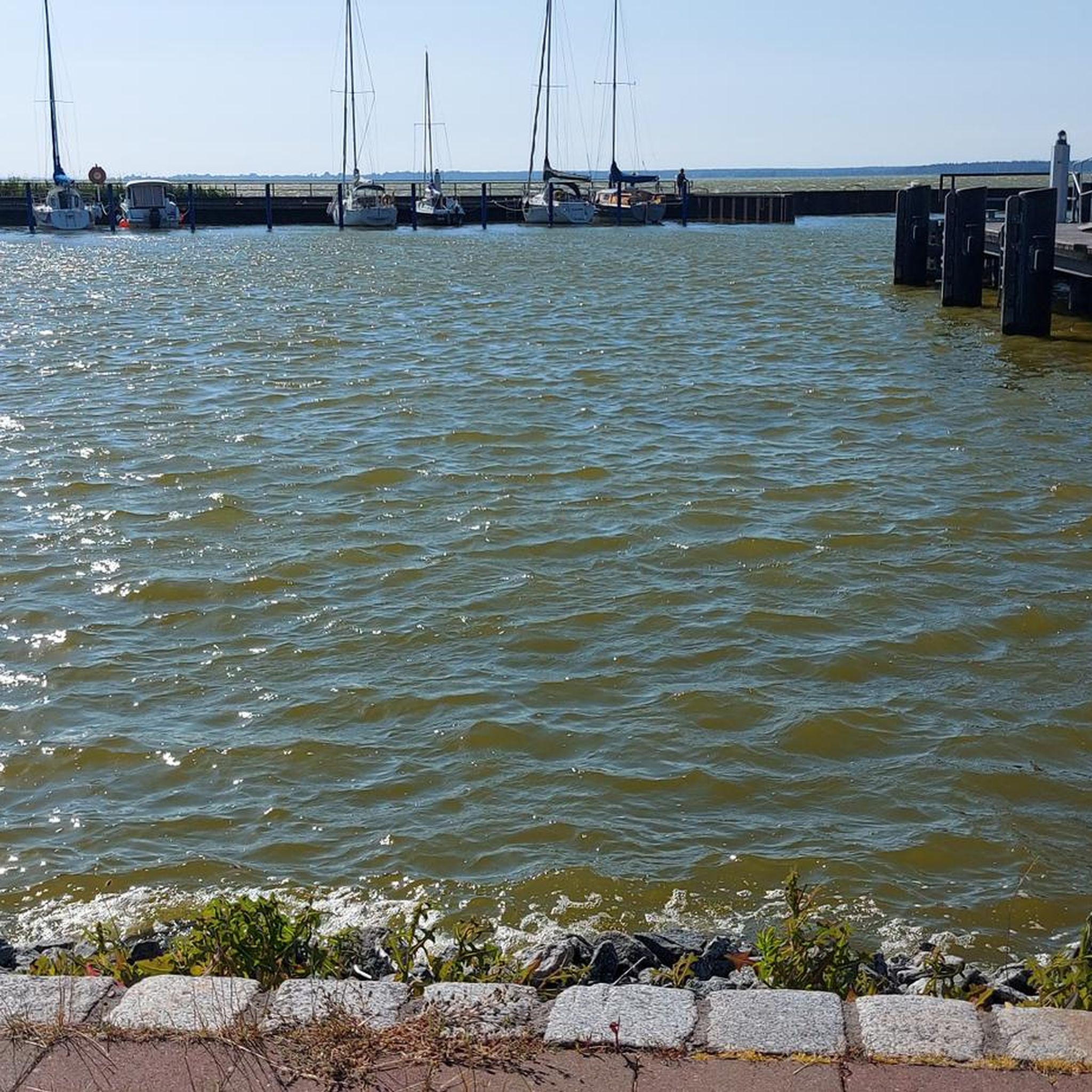
Tips from the Community


Built in the 15th and 16th centuries, Troissereux Castle captivates with its unique architecture. It houses the "Tour du Temps," topped with an ancient medieval clock, a listed historical monument. It is surrounded by a landscaped park of more than ten hectares, also listed.
0
0

The cobblestone streets, the old straw-clay houses and colorful half-timbered houses from the 17th and 18th centuries, the defensive walls and the Charlemagne Tower give the place a unique charm.
0
0


Leaving Beauvais to the northwest, along the road and then the cycle path of the Saint-Quentin marsh, you quickly arrive at the superb lake of Canada. It offers three kilometers of banks and is ideal for swimming in summer.
0
0

THE rose village of France, worth a visit in the months of May - August when the roses are in bloom. Be sure to visit the artist's garden
0
0

Very well preserved and maintained village. Very crowded in summer, beautiful in spring and autumn
2
1
Frequently Asked Questions
How many hiking trails are available in Marseille-En-Beauvaisis?
Marseille-En-Beauvaisis offers a diverse network of 37 hiking trails. These range from easy strolls to more challenging long-distance routes, ensuring options for various fitness levels.
Are there easy hiking trails suitable for beginners or families with children?
Yes, there are 24 easy routes in the area. A great option for a relaxed outing is the Gerberoy – Castle gate loop from Gerberoy, which is an easy 4.9 km (3 miles) trail.
What kind of landscapes can I expect to see while hiking in Marseille-En-Beauvaisis?
The region is characterized by rolling agricultural fields, dense woodlands, and charming small villages. You'll also encounter water features like ponds and lakes, providing varied scenery along the paths.
Are there any circular hiking routes in Marseille-En-Beauvaisis?
Many routes in the area are designed as loops. For instance, the popular Gerberoy centre ville — loop offers a 9.2 km (5.7 miles) circular walk through the historic village.
What are some notable attractions or landmarks I can explore along the trails?
Hikers can discover several interesting points. The historic village of Gerberoy, often considered one of France's most beautiful villages, is a highlight. You might also encounter the Castle gate and the serene Milly Ponds.
What is the typical duration of hikes in Marseille-En-Beauvaisis?
Hike durations vary significantly. Shorter, easy trails like the Gerberoy – Castle gate loop from Gerberoy can be completed in under 2 hours, while longer, more challenging routes such as Les étangs de Milly et plan d'eau du Canada — boucle depuis Milly-sur-Thérain can take over 5 hours.
Are there any challenging or long-distance hiking options available?
Yes, for those seeking a more demanding experience, there are 2 difficult routes. The Les étangs de Milly et plan d'eau du Canada — boucle depuis Milly-sur-Thérain is a challenging 20.3 km (12.6 miles) trail that traverses wetlands and water bodies.
What do other hikers enjoy most about hiking in Marseille-En-Beauvaisis?
The area is highly rated by the komoot community, with an average score of 4.6 stars from over 80 reviews. Hikers often praise the mix of agricultural land, forests, and village paths, as well as the well-maintained trails and varied scenery.
Is public transport available to reach the trailheads?
While specific public transport links directly to every trailhead may be limited in this rural region, local bus services connect some of the larger villages. It's advisable to check local transport schedules in advance for specific routes.
Are there any hikes that feature water bodies like lakes or ponds?
Yes, several routes incorporate water features. The challenging Les étangs de Milly et plan d'eau du Canada — boucle depuis Milly-sur-Thérain specifically highlights wetlands and water bodies, including the Milly Ponds.
What is the best time of year to go hiking in Marseille-En-Beauvaisis?
The region's gentle terrain and varied landscapes make it suitable for hiking throughout much of the year. Spring and autumn offer pleasant temperatures and vibrant scenery, while summer provides longer daylight hours. Winter hikes are also possible, especially on the less challenging routes, though conditions may vary.
Most popular routes around Marseille-En-Beauvaisis
Most popular attractions around Marseille-En-Beauvaisis

Get inspired with the komoot mobile app


Explore more
Browse the best Hikes in other regions.
