The best road cycling routes around Thoirette
4.5
(109)
2,315
riders
129
rides
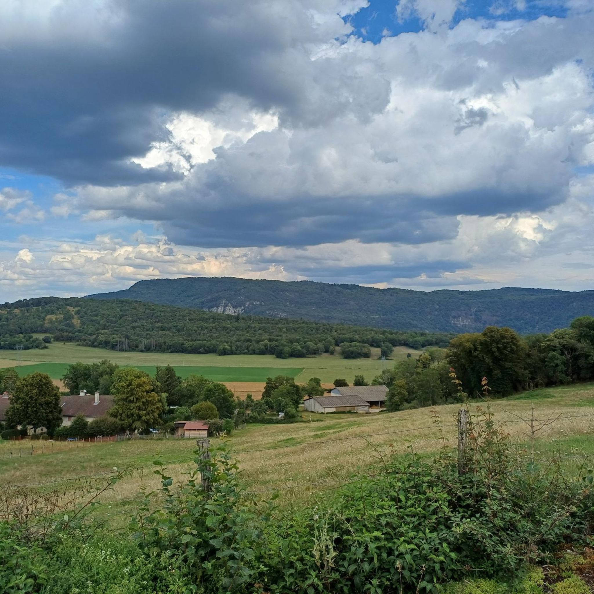
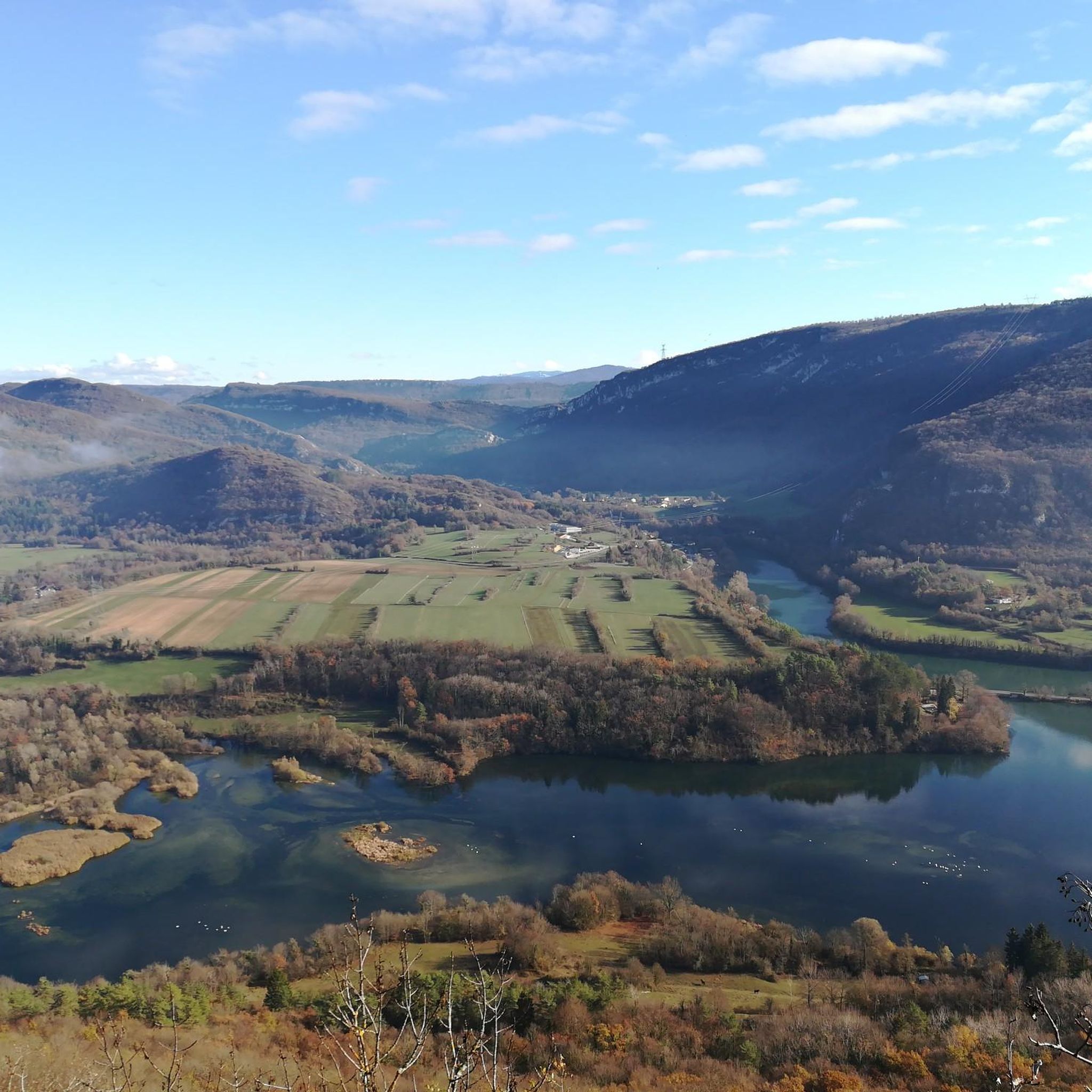
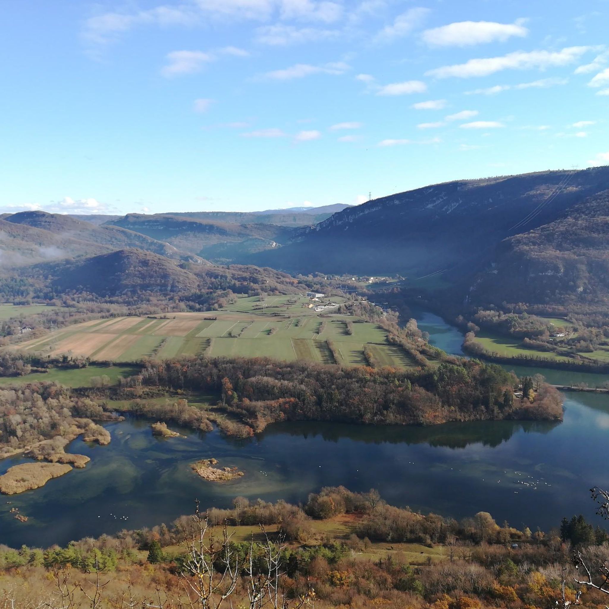
Road cycling routes around Thoirette are set within the "petite montagne" terrain of the Jura department, characterized by altitudes between 450 and 600 meters. This region offers a diverse landscape with a mix of ascents and descents, providing varied challenges for road cyclists. Routes often traverse wooded areas and open meadows, offering views of the Ain valley and the dramatic cliffs surrounding Lac de Coiselet. The area's topography includes rolling valleys and riverbanks, suitable for different cycling preferences.
Best road…
Last updated: October 7, 2026
4.4
(7)
80
riders
52.9km
02:28
640m
640m
Moderate road ride. Good fitness required. Some segments of this route may be unpaved and difficult to ride.
4.0
(1)
23
riders
24.8km
01:09
300m
300m
Moderate road ride. Good fitness required. Mostly well-paved surfaces and easy to ride.

4.0
(1)
24
riders
44.1km
02:17
800m
800m
Moderate road ride. Good fitness required. Mostly well-paved surfaces and easy to ride.
5.0
(1)
18
riders
Moderate road ride. Good fitness required. Mostly well-paved surfaces and easy to ride.
5.0
(1)
17
riders
42.9km
02:00
470m
470m
Moderate road ride. Good fitness required. Mostly well-paved surfaces and easy to ride.
Get access to more routes and recommendations from other explorers.
Already have an account?
Our route recommendations are based on thousands of hikes, rides, and runs completed by other people on komoot.
Start today with a free account
Your next adventure awaits.

Tips from the Community

So I finished this superb day in Thoirette, at the Restaurant du Pont. And frankly… what a great idea! 🍽️ A very good meal to close this day as it should be. After spending several hours on the water, the pleasure of sitting down at the table and eating well takes on another dimension!
0
0

The Lac de Nantua is a superb body of water of 141 hectares. In the heart of the Jura, it offers an ideal setting for practicing a multitude of sports. It is even possible to swim in its waters.
2
0

An impressive work that has its Wikipedia page https://fr.wikipedia.org/wiki/Viaduc_de_Cize-Bolozon
0
0

Nestled in a spectacular natural setting, the viaduct offers superb viewpoints over the Ain gorges. Built at the beginning of the 20th century and then rebuilt after the Second World War in 1950, it illustrates the railway and road heritage of the territory.
1
0

pretty small stone viaduct with 2 superimposed lanes, one for cars with 6 arches and one for the train with 11 arches. Atypical.
0
0
pretty little stone viaduct with 2 superimposed lanes, one for cars with 6 arches and one for the train with 11 arches. Atypical.
0
0
Pretty island waterfall at the old mill
0
0
The bridge separates two departments, the Jura and the Ain. "Iron bridge. For several centuries, the Ain was crossed at Thoirette using a ferry, called Christouphe's ferry, named after the commune where the passenger resided. From 1808 to 1811, the riparian communes contributed to building a bridge in place of this ferry. The project had been drawn up by Mr. Cordier, from Orgelet, an engineer then in charge of directing the works for the Simplon road. Various obstacles opposed the execution of this work. It was not until 1829 that an iron bridge was built, which collapsed in 1843. The Ain department has just replaced it with an iron bridge currently open to traffic". Statistique de la France - 1855 - Ministère de l'Agriculture by Imprimerie Impériale in Paris - p53.
0
0
Frequently Asked Questions
How many road cycling routes are available around Thoirette?
There are over 110 road cycling routes around Thoirette, offering a wide range of options for different skill levels. You'll find routes varying from easy to difficult, ensuring there's something for every cyclist.
What kind of terrain can I expect when road cycling in Thoirette?
The region around Thoirette is characterized by its 'petite montagne' terrain, with altitudes typically between 450 and 600 meters. This means you can expect a mix of rolling hills, ascents, and descents, traversing wooded areas, open meadows, and scenic river valleys. Routes often follow the Ain river and offer views of the dramatic cliffs around Lac de Coiselet.
Are there routes suitable for beginners or those looking for easier rides?
Yes, Thoirette offers several routes suitable for beginners or those preferring easier rides. While the region has many moderate and difficult options, there are 7 routes classified as easy. These typically feature less elevation gain and more gentle terrain, often following riverbanks or flatter valley sections.
Where can I find challenging climbs for advanced road cyclists?
For advanced road cyclists seeking challenging climbs, Thoirette and the surrounding Jura department offer numerous options. There are 64 routes classified as difficult, featuring significant elevation gains. For example, the route Cize-Bolozon Viaduct – Cize Viaduct loop from Matafelon-Granges covers 71.8 km with nearly 1000 meters of ascent, providing a substantial challenge.
What scenic natural features can I see along the road cycling routes?
Road cycling routes around Thoirette offer stunning natural scenery. You can expect panoramic views of the Ain valley, especially from higher points, and the picturesque Lac de Coiselet, framed by dramatic cliffs. Some routes may also pass by natural highlights such as the Chancia Viewpoint or the Cascade de la Pisse Vache.
Are there any historical landmarks or cultural sites to explore while cycling?
Yes, the region offers several interesting landmarks. A notable architectural feature you might encounter is the impressive Cize-Bolozon Viaduct, a 19th-century railway and road bridge spanning the Ain river. Other points of interest include the Oliferne Castle Ruins or the Church of Saint-Hymetière.
What do other cyclists say about the road cycling experience in Thoirette?
The road cycling routes in Thoirette are highly rated by the komoot community, with an average score of 4.6 stars from over 90 reviews. Cyclists often praise the varied terrain, the scenic views of the Ain valley and Lac de Coiselet, and the quiet, well-paved roads that make for an enjoyable experience.
Are there any circular road cycling routes available?
Many of the road cycling routes around Thoirette are designed as circular loops, allowing you to start and end at the same point. For example, the popular Viaduct Cize-Bolozon – Cize Viaduct loop from Aromas is a 41.8 km circular route that takes you through the Ain river valley.
What is the best time of year to go road cycling in Thoirette?
The best time for road cycling in Thoirette is generally from spring to autumn. During these seasons, the weather is typically mild and pleasant, with lush green landscapes. Summer offers warm conditions, ideal for longer rides, while spring and autumn provide cooler temperatures and beautiful foliage, making for very scenic tours.
Can I combine my ride with a visit to a local producer or a cafe stop?
Yes, the region offers opportunities to experience local culture and cuisine. The 'Fruitière des Erythrônes' in Aromas, a local cheese cooperative, is a great place to discover regional products within the 'petite montagne' landscape. Many villages along the routes will also have cafes or small restaurants where you can refuel.
Are there any routes that offer views of Lac de Nantua?
Yes, some routes extend to include views of Lac de Nantua. A popular option is the Lac de Nantua – Lake Nantua loop from Matafelon-Granges, a 52.9 km route that offers scenic views around the lake with moderate climbs, providing a different perspective of the wider region's beauty.
What is the average duration of road cycling routes in Thoirette?
The duration of road cycling routes in Thoirette varies significantly based on distance and difficulty. While some shorter, easier routes might take around 1.5 to 2 hours, many moderate to difficult routes, such as the Vouglans Dam – View of Lac de Vouglans loop from Thoirette (57.2 km), can take 3 to 4 hours or more to complete, depending on your pace and stops.
Most popular attractions around Thoirette

Get inspired with the komoot mobile app


Explore more
Browse the best Road cycling routes in other regions.
