The best walks and hikes around Coueilles
4.7
(31)
179
hikers
15
hikes
Hiking around Coueilles, a commune in the Haute-Garonne department, offers varied landscapes for outdoor enthusiasts. The region is characterized by a rural setting with elevations ranging from 211 to 351 meters, indicating rolling hills and valleys. The Aussoue River flows through the commune, contributing to the local ecology, and the nearby Lac de Saint-André provides a focal point for many trails. This area offers a mix of easy to moderate hiking trails suitable for different fitness levels.
Best hiking trails…
Last updated: July 31, 2026
4.3
(9)
59
hikers
12.6km
03:27
190m
190m
Moderate hike. Good fitness required. Easily-accessible paths. Suitable for all skill levels.
4.8
(4)
30
hikers
7.94km
02:08
100m
100m
Moderate hike. Good fitness required. Easily-accessible paths. Suitable for all skill levels.

Sign up for free
5.0
(2)
6
hikers
6.75km
01:52
100m
100m
Easy hike. Great for any fitness level. Easily-accessible paths. Suitable for all skill levels.
4.3
(6)
19
hikers
17.5km
04:53
290m
290m
Moderate hike. Good fitness required. Easily-accessible paths. Suitable for all skill levels.
12
hikers
13.9km
03:46
180m
180m
Moderate hike. Good fitness required. Easily-accessible paths. Suitable for all skill levels.
Get access to more routes and recommendations from other explorers.
Sign up for free
Already have an account?
Our route recommendations are based on thousands of hikes, rides, and runs completed by other people on komoot.
Start today with a free account
Your next adventure awaits.
Login or Signup
Popular around Coueilles


Tips from the Community


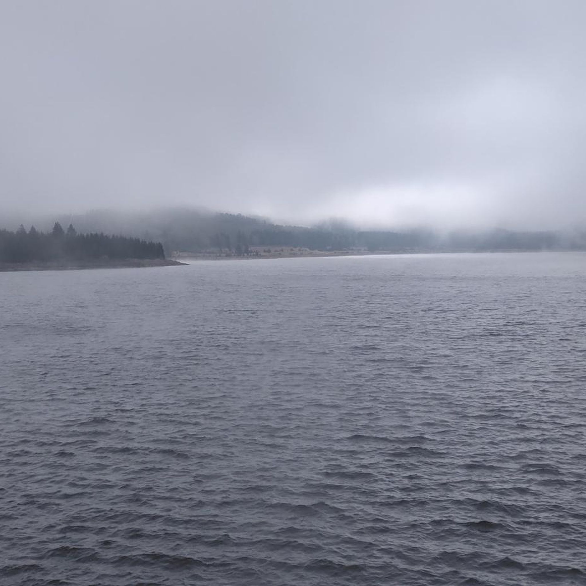
Beautiful place to enjoy the coolness of the forest on a hot summer day.
0
0
Many opportunities to get to the lake in the shade of the surrounding forests.
0
0
Many opportunities to reach the lake of Saint André in the shade of the surrounding forests
0
0
Frequently Asked Questions
How many hiking trails are available around Coueilles?
There are over 10 hiking trails around Coueilles, offering a variety of experiences. The area features 6 easy routes and 7 moderate routes, ensuring options for different fitness levels.
What kind of terrain can I expect on hikes near Coueilles?
The terrain around Coueilles is characterized by rolling hills and valleys, with elevations ranging from 211 to 351 meters. Many trails also feature picturesque walks around the Lac de Saint-André and along the Aussoue River, offering diverse natural scenery.
Are there easy hiking options suitable for beginners or casual walkers?
Yes, Coueilles offers several easy hiking options. For instance, the Lac de Saint-André – Lake Saint-André. loop from Le Culas is an easy 4.6 km route that takes about 1 hour 11 minutes to complete, perfect for a relaxed stroll.
Are there many circular hiking routes around Coueilles?
Yes, many of the popular routes around Coueilles are circular. Several trails loop around the scenic Lac de Saint-André, such as the Lake Saint-André. – Lac de Saint-André loop from Fabas, which is a moderate 12.6 km circuit.
What are some popular longer hikes in the area?
For those looking for a longer adventure, the Hiking loop from L'Isle-en-Dodon is a popular choice. This moderate trail covers 17.5 km through the Haute-Garonne countryside and typically takes around 4 hours 48 minutes to complete.
What do other hikers enjoy most about hiking in Coueilles?
The hiking routes in Coueilles are highly rated by the komoot community, with an average score of 4.6 stars from over 25 reviews. Hikers often praise the varied terrain, the serene environment around Lac de Saint-André, and the well-maintained paths that cater to different skill levels.
Are there any specific natural landmarks or points of interest to look out for?
Absolutely. The most prominent natural feature is the Lac de Saint-André, which is a focal point for many trails and offers a serene environment. The Aussoue River also flows through the commune, providing picturesque riverside walking opportunities.
Is Coueilles a good destination for family-friendly hikes?
Yes, Coueilles is suitable for family-friendly hikes, especially with its selection of easy and moderate trails. The paths around Lac de Saint-André, like the easy Lac de Saint-André – Lake Saint-André. loop from Le Culas, are particularly well-suited for families.
What is the best time of year to go hiking in Coueilles?
Coueilles experiences an altered oceanic climate, making spring and autumn ideal for hiking with pleasant temperatures and vibrant natural scenery. Summer can also be enjoyable, though it's advisable to start earlier in the day to avoid the midday heat. Winter offers a different charm, with cooler temperatures and potentially quieter trails.
Are there options for parking near the trailheads in Coueilles?
While specific parking details for every trailhead are not listed, Coueilles is a rural commune, and parking is generally available near popular starting points, especially around the Lac de Saint-André and in nearby villages like Fabas or Salherm, where many loops begin.
Can I find cafes or places to eat near the hiking trails?
Coueilles is a small, rural commune. For cafes, pubs, and accommodation, you would typically find more options in larger nearby towns such as L'Isle-en-Dodon. It's recommended to plan your refreshments and meals around these locations.
Are there any moderate difficulty trails that offer good views?
Many moderate trails in the area offer scenic views, particularly those that traverse the rolling hills or circle the Lac de Saint-André. The Lac de Saint-André – Lake Saint-André. loop from Salherm is a moderate 7.9 km path that provides excellent views of the lake and surrounding countryside.
What is the average duration of a hike in Coueilles?
The duration of hikes in Coueilles varies significantly depending on the route and your pace. Easy trails, like the Lac de Saint-André – Lake Saint-André. loop from Le Culas, can be completed in just over an hour, while longer moderate routes, such as the Lac de Saint-André – Lake Saint-André. loop from Fabas (13.9 km), might take around 3 hours 45 minutes.

Get inspired with the komoot mobile app


Explore more
Browse the best Hikes in other regions.
