The best running trails around Anglards-De-Saint-Flour
4.5
(4)
610
runners
109
runs
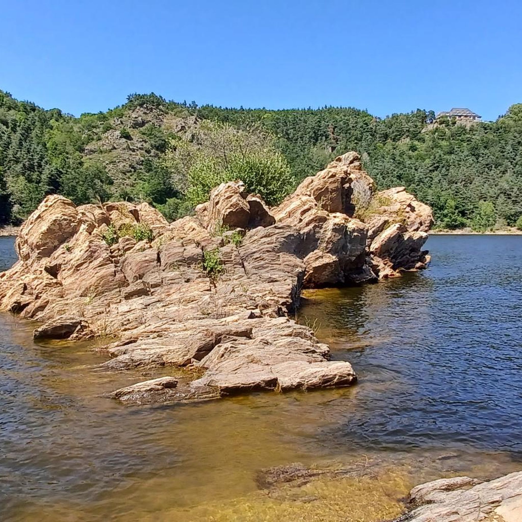
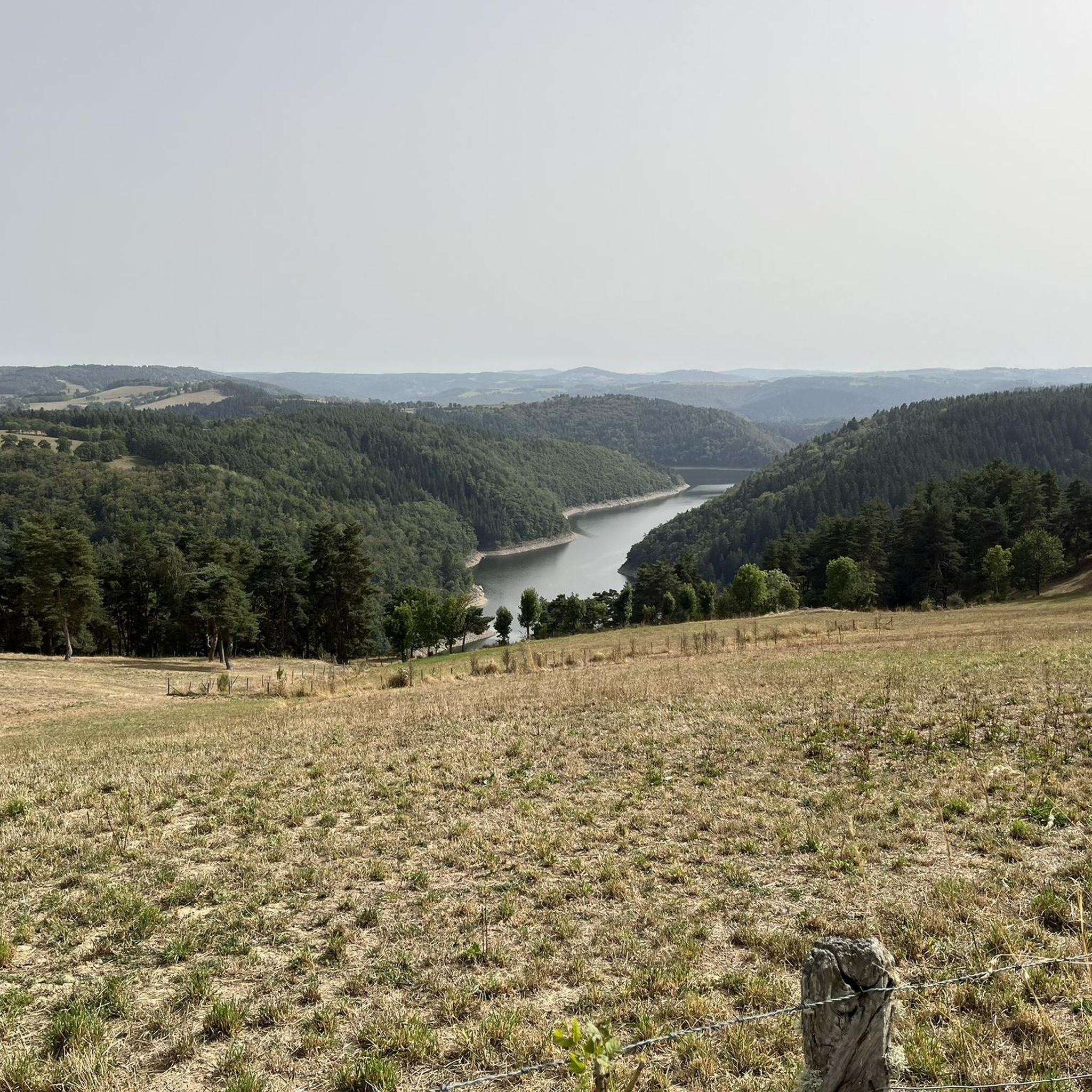
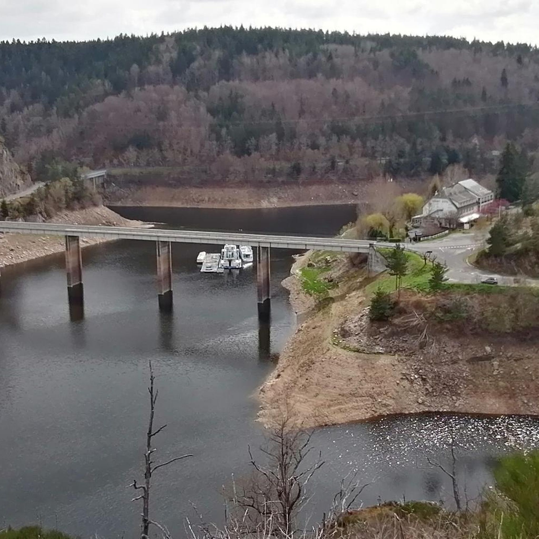
Jogging around Anglards-De-Saint-Flour offers routes through varied terrain in the Cantal department. The area is situated at an elevation of 840 meters, featuring the valleys of the Ander and Truyère rivers. Runners can explore the Gorges de la Truyère and enjoy views of the Cantal and Margeride mountains, including the Puy Mary, within the Volcanoes Park of Auvergne. The landscape is characterized by valleys, hills, and the nearby Garabit Viaduct.
Best jogging routes around Anglards-De-Saint-Flour
- The most popular jogging route is Running loop from La Barge, a 6.4 miles (10.3 km) trail that takes 1 hour 14 minutes to complete. This difficult route offers views over the Gorges de la Truyère.
- Another top favourite among local runners is Signal de Margeride loop from Ruynes-en-Margeride, a difficult 8.2 miles (13.1 km) path. This route provides panoramic views of the Margeride mountains.
- Local runners also love the Ruynes-en-Margeride loop from Ruynes-en-Margeride, a 4.1 miles (6.6 km) trail leading through local valleys and hills, often completed in about 44 minutes.
- Jogging around Anglards-De-Saint-Flour is defined by the Gorges de la Truyère, the Cantal and Margeride mountains, and scenic valleys. The network of running routes offers options for easy, moderate, and difficult ability levels.
- The routes in Anglards-De-Saint-Flour are highly rated by the komoot community with an average score of 4.0 stars from over 2 reviews. More than 400 runners have used komoot to explore Anglards-De-Saint-Flour's varied terrain.
Last updated: November 2, 2026
17
runners
13.1km
01:26
180m
180m
Moderate run. Good fitness required. Mostly paved surfaces.
10
runners
10.5km
01:17
270m
270m
Hard run. Good fitness required. Sure-footedness, sturdy shoes and alpine experience required.

5.0
(1)
13
runners
6.38km
00:43
100m
100m
Moderate run. Good fitness required. Mostly paved surfaces.
8
runners
13.1km
01:36
490m
490m
Hard run. Very good fitness required. Mostly paved surfaces.
8
runners
12.7km
01:28
210m
210m
Moderate run. Good fitness required. Mostly paved surfaces.
Get access to more routes and recommendations from other explorers.
Already have an account?
Our route recommendations are based on thousands of hikes, rides, and runs completed by other people on komoot.
Start today with a free account
Your next adventure awaits.

Tips from the Community


Ruynes-en-Margeride is recognizable from afar thanks to its 12th century tower. The latter houses the Margeride eco-museum as well as the garden of Saint-Martin. The beautiful fountain located on Place Gambetta is also to be discovered.
1
0
The name of Saint-Flour comes from Florus, a bishop who came to evangelize the region in the 4th century. The city, located on a volcanic promontory, is doubly protected by ramparts and fortified gates. In the 14th century, the city, due to its importance within the Cantal region, received the prestigious title of religious capital of Haute-Auvergne. The numerous buildings from this period are an integral part of the city and contribute to its beauty.
2
0

Country of Art and History, Saint-Flour is a medieval city perched on a volcanic promontory.
1
0

Along the Ander, you cycle out of the town of Saint-Flour on a beautiful riverside cycle path.
0
0
The town of Saint-Flour lies on a basalt plateau of volcanic origin. Here, you can enjoy wonderful views of the town from above. The medieval old town, surrounded by a defensive wall made of volcanic stone, is worth a stroll. You'll also find several restaurants to refuel after a bike ride.
2
1

Perched atop its volcanic rocky spur, the town of Saint-Flour is the only site in Cantal to be labeled a "Land of Art and History." Saint-Flour was founded in the 4th century by Florus, a bishop who came to evangelize the region. In the 14th century, the town reached its peak. Its importance grew. This promotion gave it the prestigious title of religious capital of Haute-Auvergne. Civil and religious power long vied for supremacy, as evidenced by the many prestigious buildings in the heart of the historic center. Perched on its volcanic ramparts, protected by a defensive wall and several fortified gates, Saint-Flour was often coveted during the Middle Ages but ultimately never taken.
1
2
Frequently Asked Questions
How many running routes are available in Anglards-De-Saint-Flour?
There are over 90 running routes around Anglards-De-Saint-Flour, offering a wide range of options for different skill levels and preferences. These routes explore the diverse terrain of the Cantal department.
What are the difficulty levels of running trails in Anglards-De-Saint-Flour?
The running trails in Anglards-De-Saint-Flour cater to all abilities. You'll find 8 easy routes perfect for a gentle jog, 67 moderate routes for a good workout, and 20 difficult routes for experienced runners seeking a challenge.
Are there any running routes with views of the Garabit Viaduct?
Yes, the region offers several running routes that provide stunning views of the iconic Garabit Viaduct. The area's geographical position, particularly around the Truyère gorges, makes it possible to incorporate this landmark into your run. You can also visit the View of the Garabit Viaduct highlight directly.
Can I find running trails with views of the Cantal or Margeride mountains?
Absolutely. Anglards-De-Saint-Flour is situated within the Volcanoes Park of Auvergne, offering panoramic vistas of the Cantal mountains, including the Puy Mary, and the Margeride mountains. For example, the Signal de Margeride loop from Ruynes-en-Margeride provides excellent views of the Margeride range.
Are there any circular jogging routes in the area?
Yes, many of the running routes around Anglards-De-Saint-Flour are circular, allowing you to start and finish at the same point. For instance, the Running loop from La Barge is a popular circular option offering views over the Gorges de la Truyère.
What kind of terrain can I expect on running routes in Anglards-De-Saint-Flour?
The terrain is quite varied, ranging from scenic valleys and rolling hills to more challenging paths along the Gorges de la Truyère. You'll encounter a mix of natural surfaces, typical of the Cantal department's diverse landscape.
Are there family-friendly jogging routes in Anglards-De-Saint-Flour?
Yes, there are several easy and moderate routes suitable for families. These trails often feature gentler inclines and well-maintained paths, perfect for a leisurely jog with children. Look for routes marked as 'easy' in the guide.
What landmarks or attractions can I see while jogging near Anglards-De-Saint-Flour?
Beyond the natural beauty, you can encounter several interesting landmarks. The historic town of Saint-Flour, the impressive Valadour Footbridge, Chaliers, and the ruins of Alleuze Castle are all points of interest that can be seen or are near various running paths.
Are there any longer distance running trails for advanced runners?
Yes, for those looking for a longer challenge, routes like the Signal de Margeride loop from Ruynes-en-Margeride, at over 13 km with significant elevation gain, provide an excellent option for advanced runners. The region also features trails like 'La Fromentale', a 12 km hiking trail that can be adapted for longer runs.
What do other runners enjoy the most about jogging in Anglards-De-Saint-Flour?
The running routes in Anglards-De-Saint-Flour are highly rated by the komoot community, with an average score of 4.0 stars. Runners often praise the breathtaking views of the Gorges de la Truyère and the Cantal and Margeride mountains, as well as the varied and engaging terrain.
Is parking available near the running trails in Anglards-De-Saint-Flour?
While specific parking details for every trail are not always listed, Anglards-De-Saint-Flour and nearby villages typically offer public parking areas. It's advisable to check the starting point of your chosen route for the most convenient parking options.
Are there easy jogging routes for beginners in Anglards-De-Saint-Flour?
Yes, beginners can find several easy jogging routes. For example, the Running loop from Puech de Jourde is an easy option, covering under 4 km with minimal elevation, making it ideal for those new to trail running.
What is the best time of year for running in Anglards-De-Saint-Flour?
The spring and autumn months generally offer the most pleasant conditions for running, with mild temperatures and vibrant natural scenery. Summer can also be enjoyable, especially in the mornings or evenings, though some trails might be more exposed to the sun. Winter running is possible but requires appropriate gear for colder conditions.
Most popular routes around Anglards-De-Saint-Flour
Most popular attractions around Anglards-De-Saint-Flour

Get inspired with the komoot mobile app


Explore more
Browse the best Running Trails & Routes in other regions.
