The best mountain hikes around Oldevatnet
4.7
(10)
59
hikers
5
hikes
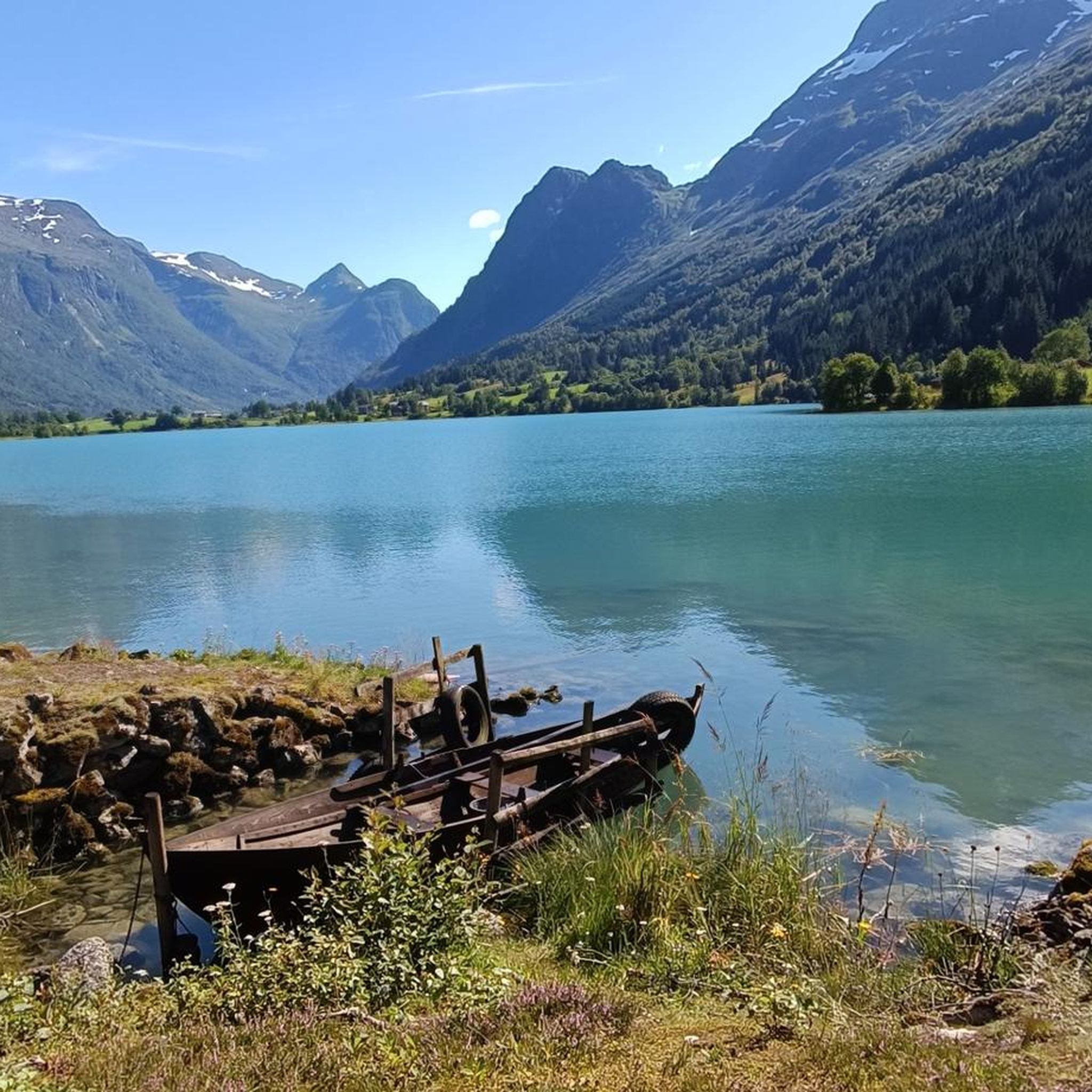
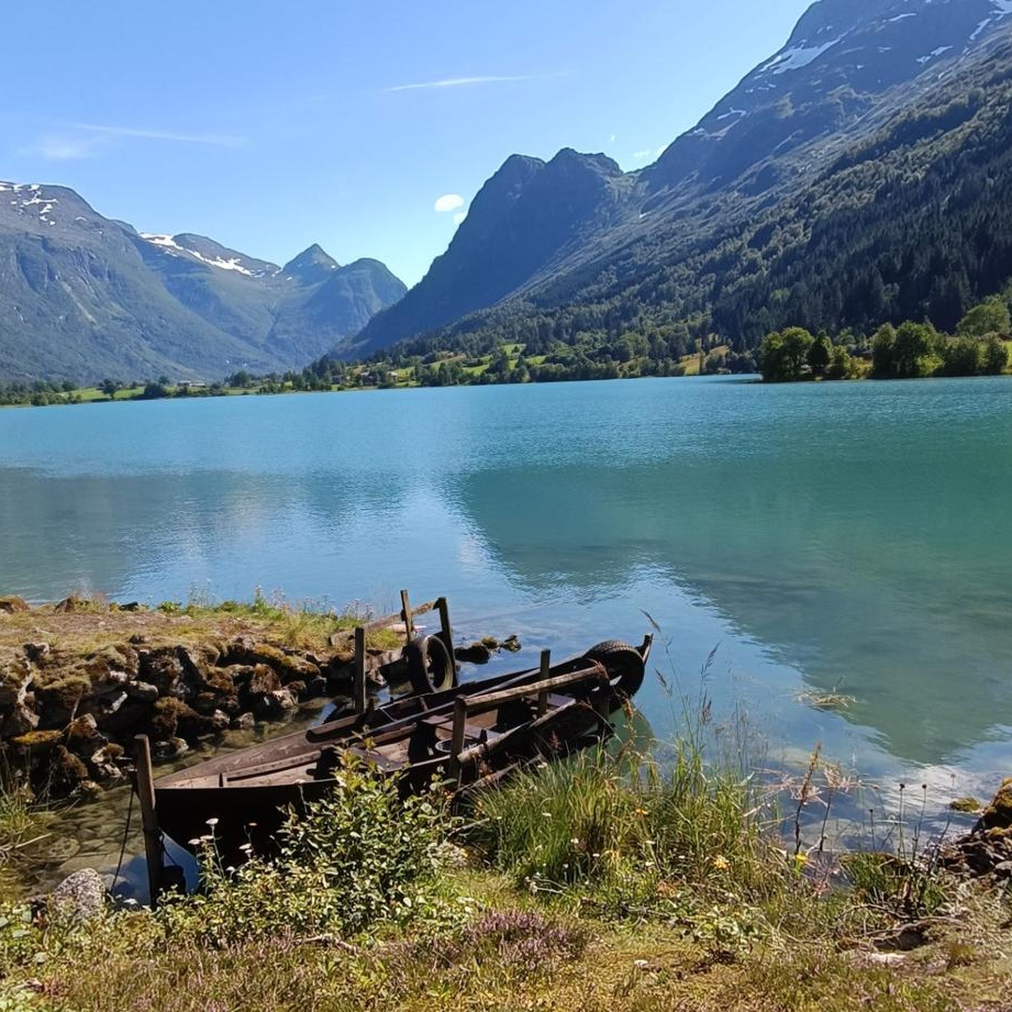
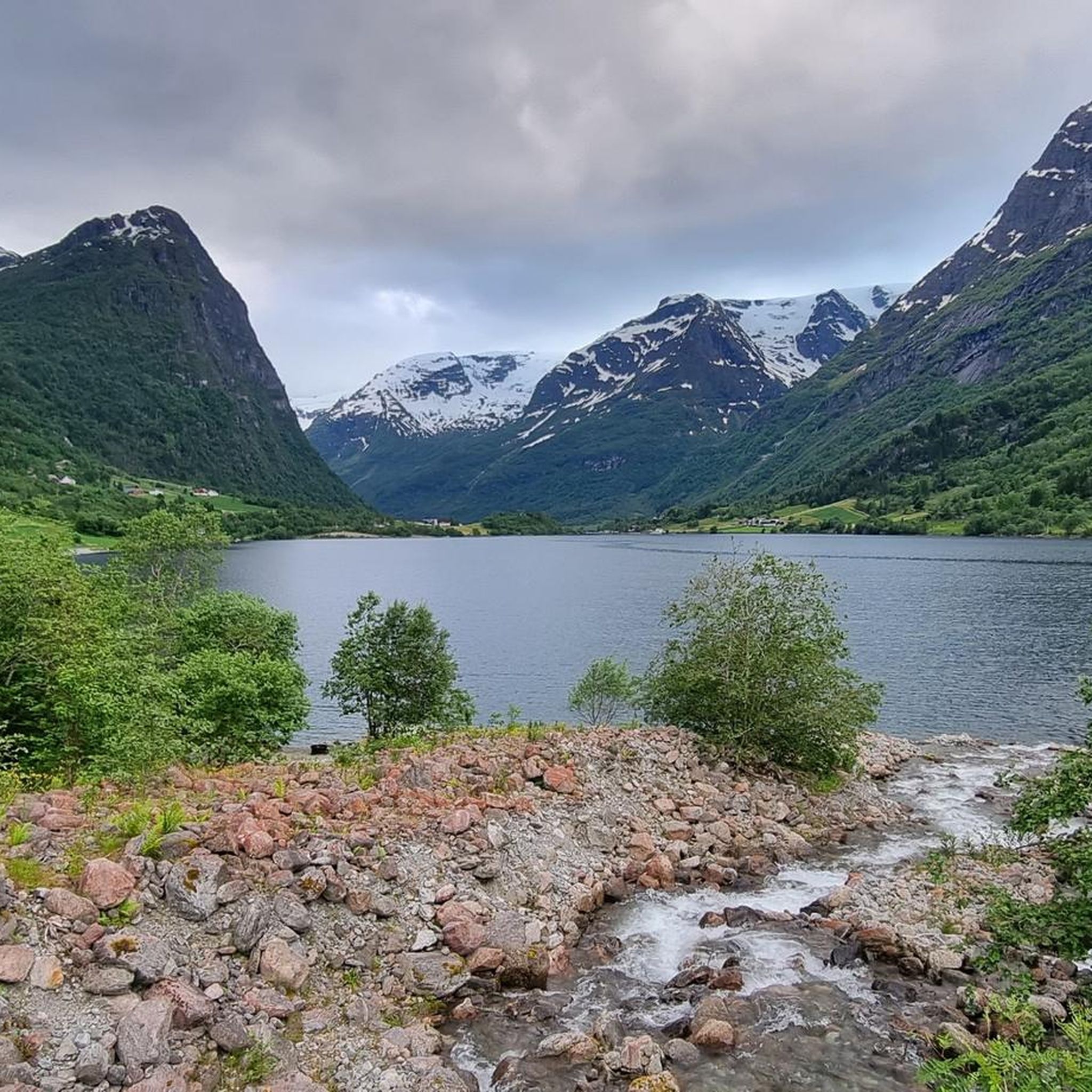
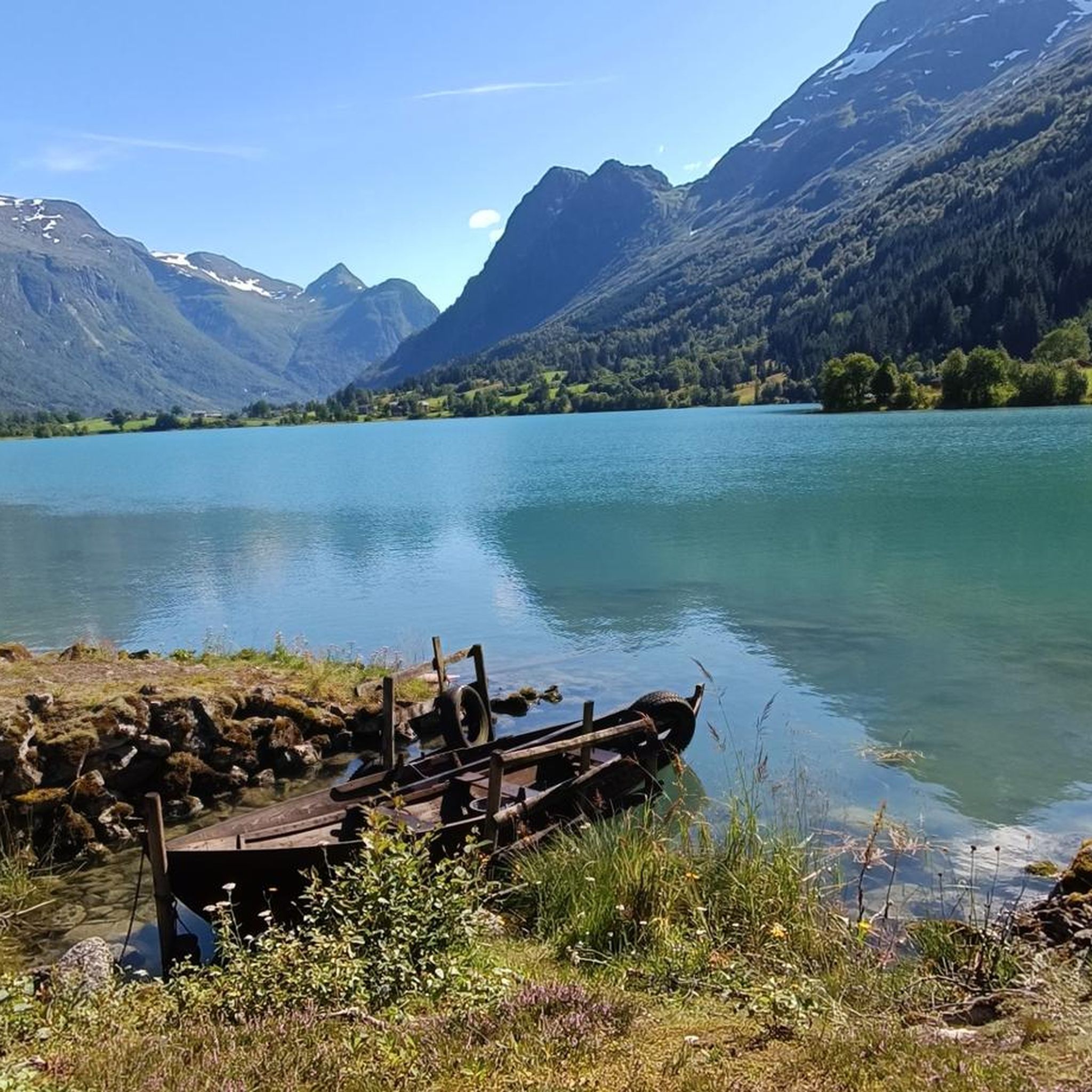
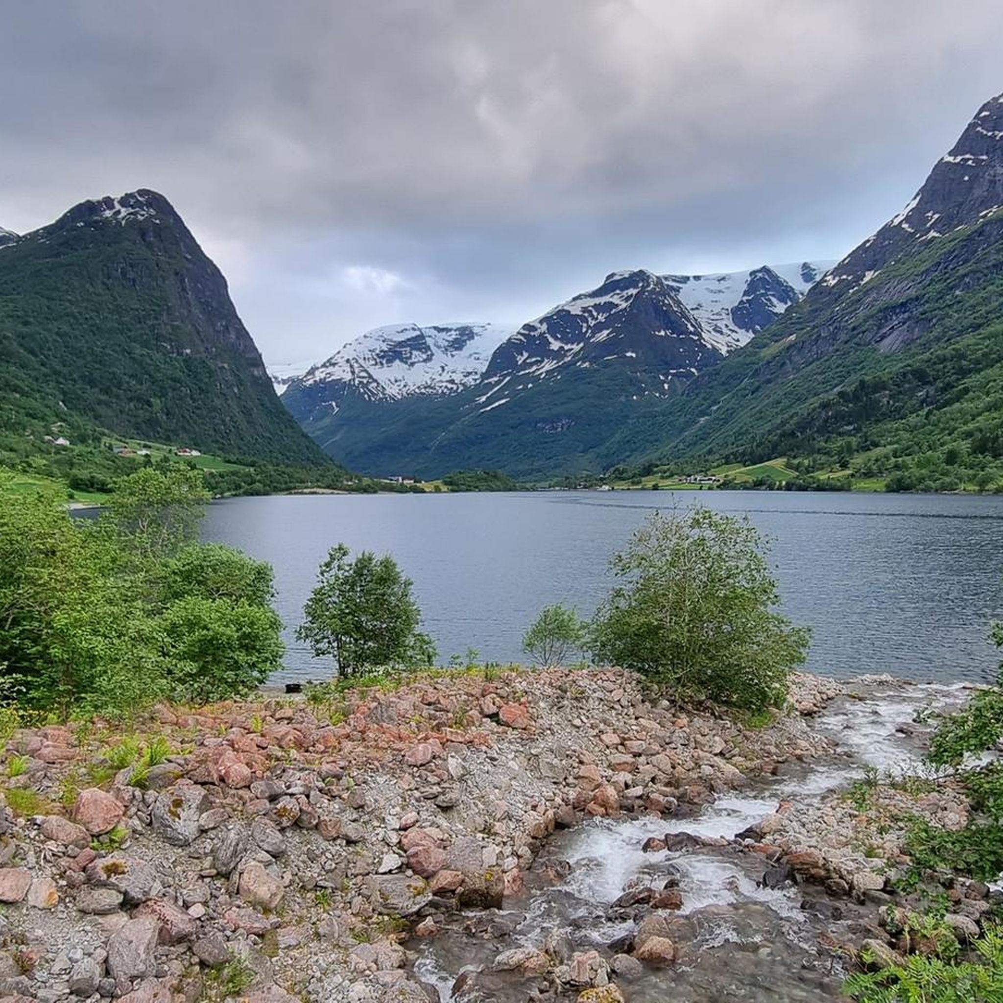
Mountaineering routes around Oldevatnet are set within Norway's Oldedalen valley, characterized by dramatic landscapes and significant natural features. The region features the turquoise-green Oldevatnet lake, enveloped by towering, steep mountains and cascading waterfalls. Situated within Jostedalsbreen National Park, the area includes impressive glacier arms like Briksdalsbreen and the glacial river Oldenelva. This terrain offers challenging ascents and varied paths suitable for experienced mountaineers.
Best mountaineering routes around Oldevatnet
- The most popular mountaineering route is View of Oldevatnet – View of…
Last updated: October 4, 2026
4.3
(3)
24
hikers
9.73km
04:53
1,130m
1,130m
Hard mountaineering route. Very good fitness required. Easily-accessible paths. Suitable for all skill levels.
5.0
(1)
15
hikers
13.4km
07:18
1,010m
1,010m
Hard mountaineering route. Very good fitness required. Sure-footedness, sturdy shoes and alpine experience required.

4.7
(3)
8
hikers
11.2km
04:46
870m
870m
Hard mountaineering route. Good fitness required. Sure-footedness, sturdy shoes and alpine experience required.
8
hikers
4.88km
02:09
450m
440m
Moderate mountaineering route. Good fitness required. Easily-accessible paths. Suitable for all skill levels.
4.7
(3)
4
hikers
7.95km
03:13
530m
550m
Hard mountaineering route. Good fitness required. Sure-footedness, sturdy shoes and alpine experience required.
Our route recommendations are based on thousands of hikes, rides, and runs completed by other people on komoot.
Start today with a free account
Your next adventure awaits.
Tips from the Community

In Odin's footsteps On his horse Sleipnir - the glider - Odin set out on extensive journeys through the worlds of gods, humans and other sinister figures. According to a Norwegian legend, the god's majestic gliding turned into a rather bumpy affair on a certain mountain. While flying over Norway's fjord landscape, the eight-legged Sleipnir crashed into this mountain and left a powerful hoof print that permanently reshaped the summit. The mountain is now called Hoven and the connection between the mountain and the Norwegian word Hov, which means hoof, is obvious.
1
0

We did the via ferrata in the off-season without a guide and set off early in the morning before the guided tours. This gave us the opportunity to walk back and forth on the suspension bridge to take part in the new attraction of the stretched ladder. On guided tours you probably have to decide which of the two attractions you want to do, otherwise it takes a very long time in a group.
0
0
During the high season, the via ferrata is closed to guided tours until the afternoon. For the way back, you are almost dependent on the gondola, because the way back goes a long way along the road without a sidewalk. Trucks driving past and blind bends make the whole thing very dangerous. When we struggled through there in the summer of 2024, there was a construction site where they are hopefully building a pedestrian/cycle path.
0
0

From here you can go on many tours across the plateau.
0
0

Chains are no longer present on the left path, the climbing is only a few meters.
0
0

Great waterfall on the way to the glacier.
5
0
Here you can marvel at a pothole that has been formed by the water over the years.
4
0

From here you can start beautiful hikes on the Hoven and always have a wonderful view of the fjords.
1
0
Frequently Asked Questions
How many mountaineering routes are available around Oldevatnet?
There are five distinct mountaineering routes detailed in this guide for the Oldevatnet area. These range from moderate to difficult, offering varied challenges for experienced mountaineers.
Are there any circular mountaineering routes in the Oldevatnet region?
Yes, several routes are designed as loops. For instance, the View of Oldevatnet – View of Jostedalsbreen Glacier loop from Briksdalen offers panoramic views, while the Skredfjellet – Hoven loop from Oppheim takes you through varied mountain terrain.
What kind of views can I expect on these mountaineering routes?
The routes around Oldevatnet offer dramatic views of the turquoise-green Oldevatnet lake, towering mountains, and cascading waterfalls. You can also expect to see impressive glacier arms, as the area is within Jostedalsbreen National Park. The View of Oldevatnet – View of Jostedalsbreen Glacier loop is specifically designed for these panoramic vistas.
Are there any routes that include a Via Ferrata experience?
Yes, for a unique mountain experience, the Start of Via Ferrata Loen – Suspension Bridge loop from Loen kyrkje incorporates adapted climbing paths and a suspension bridge. This route is considered difficult and requires alpine experience.
What is the best time of year for mountaineering in Oldevatnet?
The best time for mountaineering in Oldevatnet is typically during the warmer months, from late spring to early autumn, when trails are clear of snow and weather conditions are more stable. However, conditions can change rapidly in the mountains, so always check local forecasts.
Are there any moderate mountaineering options for those with less experience?
While most routes are difficult, there is a Mountaineering loop from Hoven that is rated as moderate. This 4.9 km route can be completed in just over two hours, offering a less strenuous introduction to the region's mountain terrain.
What are some of the natural features or landmarks I might encounter?
The Oldevatnet region is rich in natural wonders. You'll be surrounded by the distinctive turquoise Oldevatnet lake, towering mountains, and numerous waterfalls. The area is also part of Jostedalsbreen National Park, home to Europe's largest mainland glacier, Jostedalsbreen, with arms like Briksdalsbreen visible from some routes.
Is parking available at the trailheads for these routes?
Parking is generally available at common starting points for hikes and mountaineering routes in the Oldedalen valley, such as near Briksdalen or Loen. However, it's always advisable to check specific trailhead information or local signage for parking availability and any potential fees.
What do other mountaineers say about the routes in Oldevatnet?
The mountaineering routes in Oldevatnet are highly rated by the komoot community, with an average score of 4.6 stars from 8 reviews. Mountaineers often praise the dramatic glacial landscapes, the stunning views of the lake, and the challenging yet rewarding ascents.
Are there any routes that offer a different perspective of the Hoven area?
Yes, beyond the moderate loop, there's a more challenging Mountaineering loop from Hoven that covers 8 km and is rated difficult. This route provides another opportunity to explore the Hoven area with a greater challenge.
Are permits required for mountaineering in the Oldevatnet area?
Generally, permits are not required for hiking or mountaineering on established trails in the Oldevatnet area, including within Jostedalsbreen National Park. However, for specific activities like the Via Ferrata Loen, guided tours or specific equipment rentals might be necessary, which would involve booking or fees. Always check with local information centers for the latest regulations.
Can I reach the starting points of these routes using public transport?
While some areas in Norway are accessible by public transport, the Oldedalen valley and specific trailheads for mountaineering routes around Oldevatnet might have limited public transport options. It's often recommended to have a car for flexibility, or to research local bus services to major towns like Loen or Olden and then arrange for local transport to specific starting points.
Most popular routes around Oldevatnet

Get inspired with the komoot mobile app


Explore more
Browse the best Mountain Hikes & Routes in other regions.
