The best road cycling routes around Mont-De-Galié
4.8
(80)
3,308
riders
66
rides
Road cycling around Mont-De-Galié features routes characterized by significant elevation changes, mountain passes, and winding roads through valleys. The region's terrain includes challenging ascents and descents, making it suitable for experienced road cyclists. Routes often connect various mountain towns and offer views of the surrounding high country.
Best road cycling routes around Mont-De-Galié
- The most popular road cycling route is Port de Balès – Peyresourde Pass loop from Loures - Barbazan, a 75.6 miles (121.6 km) trail that takes…
Last updated: May 24, 2026
5.0
(2)
374
riders
122km
06:37
2,380m
2,380m
Hard road ride. Very good fitness required. Mostly well-paved surfaces and easy to ride.
5.0
(3)
341
riders
104km
05:42
2,130m
2,130m
Hard road ride. Very good fitness required. Mostly well-paved surfaces and easy to ride.

Sign up for free
4.7
(13)
237
riders
64.5km
02:53
550m
550m
Moderate road ride. Good fitness required. Mostly well-paved surfaces and easy to ride.
5.0
(1)
139
riders
142km
07:44
2,650m
2,650m
Hard road ride. Very good fitness required. Mostly well-paved surfaces and easy to ride.
4.5
(6)
132
riders
60.6km
03:32
1,390m
1,390m
Hard road ride. Very good fitness required. Mostly well-paved surfaces and easy to ride.
Get access to more routes and recommendations from other explorers.
Sign up for free
Already have an account?
Our route recommendations are based on thousands of hikes, rides, and runs completed by other people on komoot.
Start today with a free account
Your next adventure awaits.
Login or Signup


Tips from the Community

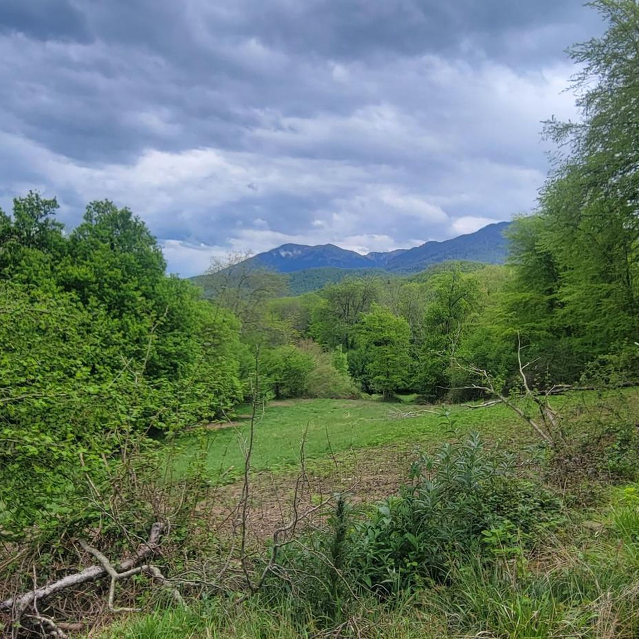
Beautiful port with a French side heavily covered by forest
0
0

Beautiful road marked on every bend by posts celebrating Spanish winners of the Tour de France, and kilometre markers with gradient, altitude etc. it finishes at the border, which is the col.
0
0


The Col du Portillón is a short but intense mountain pass that connects the Aran Valley to France via a narrow, shady road through forests. Its ascent, with its pleasant slopes, is highly appreciated by local and professional cyclists.
1
0

Beautiful bends with a really nice view of neighbouring Port de Bales
1
0


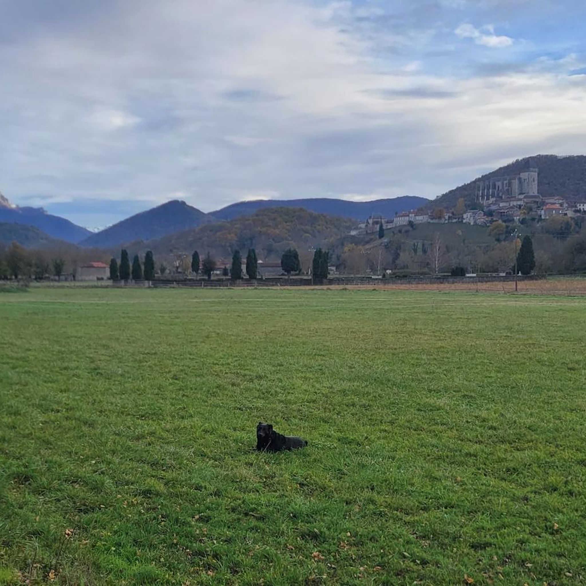
Beautiful view from the basilica on the Sainte Marie Cathedral of Saint Bertrand de Comminges.
0
0
Frequently Asked Questions
What kind of terrain can I expect when road cycling around Mont-De-Galié?
Road cycling in the Mont-De-Galié region is characterized by significant elevation changes, including challenging ascents and descents through mountain passes and winding roads. The terrain often connects various mountain towns and offers views of the surrounding high country.
Are there road cycling routes suitable for beginners in Mont-De-Galié?
Yes, while the region is known for its challenging mountain passes, there are 8 routes classified as easy. These routes offer a gentler introduction to road cycling in Mont-De-Galié, allowing beginners to enjoy the scenery without extreme difficulty.
What are some of the more challenging road cycling routes in the Mont-De-Galié area?
For experienced cyclists seeking a challenge, the region offers 26 difficult routes. A prime example is the Bossòst – Vielha loop from Loures - Barbazan, which spans over 141 km with significant elevation gain, or the Port de Balès – Peyresourde Pass loop from Loures - Barbazan, covering 121 km and featuring two major mountain passes.
What is the typical length and duration of road cycling routes around Mont-De-Galié?
Routes vary significantly in length and duration. For instance, the Izaourt – Bagnères-de-Luchon loop from Loures - Barbazan is about 74 km and takes around 3 hours 25 minutes, while longer routes like the Port de Balès – Bagnères-de-Luchon loop from Loures - Barbazan can be over 103 km and require more than 5 hours to complete.
What is the best time of year for road biking in Mont-De-Galié?
The best time for road biking in Mont-De-Galié is typically from late spring through early autumn (May to October). During these months, mountain passes are generally clear of snow, and the weather is more stable, offering ideal conditions for cycling through the high country.
Are there any loop routes available for road cyclists in Mont-De-Galié?
Yes, many of the road cycling routes in Mont-De-Galié are designed as loops, allowing you to start and finish at the same point. Examples include the Izaourt – Port de Balès loop from Loures - Barbazan and the Port de Balès – Peyresourde Pass loop from Loures - Barbazan, providing convenient circular journeys.
What kind of scenic viewpoints or landmarks can I expect along the road cycling routes?
The routes often pass through stunning natural landscapes and historical sites. You might encounter significant mountain passes like Col des Ares or Buret Pass. Other points of interest include Gar Peak and the historic Saint-Just Church of Valcabrère.
How do other road cyclists rate the routes in Mont-De-Galié?
The road cycling routes in Mont-De-Galié are highly regarded by the komoot community, holding an average rating of 4.8 stars from over 120 reviews. Cyclists frequently praise the challenging climbs, breathtaking mountain scenery, and the well-maintained roads that connect charming regional towns.
What are the winter conditions like for road cycling in Mont-De-Galié?
Winter conditions in Mont-De-Galié can be challenging for road cycling, especially in the higher elevations and mountain passes, which may be closed due to snow and ice. Lower valley routes might be accessible, but it's crucial to check local weather and road conditions before planning a winter ride.
Are there any road bike friendly cafes or places to refuel along the routes?
Given the routes often connect various mountain towns and villages, you will find opportunities to refuel at local cafes, bakeries, and restaurants. Towns like Bagnères-de-Luchon, often featured in route names, are good places to stop for refreshments and supplies.
How many road cycling routes are available in the Mont-De-Galié region?
There are over 60 road cycling routes available in the Mont-De-Galié region, offering a wide variety of distances and difficulty levels to suit different preferences and fitness levels.
Most popular routes around Mont-De-Galié
Most popular attractions around Mont-De-Galié

Get inspired with the komoot mobile app


Explore more
Browse the best Road cycling routes in other regions.
