The best road cycling routes around Montgaillard-De-Salies
4.8
(84)
1,049
riders
112
rides
Road cycling around Montgaillard-De-Salies is characterized by its location in the foothills of the Pyrénées mountains, offering a varied topography. Elevations range from 307 to 424 meters, providing an undulating landscape with a mix of rolling hills and more demanding ascents. The region features open countryside, wooded areas, and impressive mountain backdrops, making it suitable for diverse road cycling experiences.
Best road cycling routes around Montgaillard-De-Salies
- The most popular road cycling route is Portet-d'Aspet pass – Fabio Casartelli Memorial loop…
Last updated: May 21, 2026
4.5
(4)
107
riders
83.2km
04:09
1,270m
1,270m
Hard road ride. Very good fitness required. Mostly well-paved surfaces and easy to ride.
5.0
(7)
27
riders
38.2km
01:55
620m
620m
Moderate road ride. Good fitness required. Mostly well-paved surfaces and easy to ride.

Sign up for free
5.0
(2)
19
riders
55.3km
02:39
620m
620m
Moderate road ride. Good fitness required. Some segments of this route may be unpaved and difficult to ride.
9
riders
64.3km
03:22
890m
890m
Moderate road ride. Good fitness required. Mostly well-paved surfaces and easy to ride.
15
riders
48.3km
02:17
460m
450m
Moderate road ride. Good fitness required. Some segments of this route may be unpaved and difficult to ride.
Get access to more routes and recommendations from other explorers.
Sign up for free
Already have an account?
Our route recommendations are based on thousands of hikes, rides, and runs completed by other people on komoot.
Start today with a free account
Your next adventure awaits.
Login or Signup
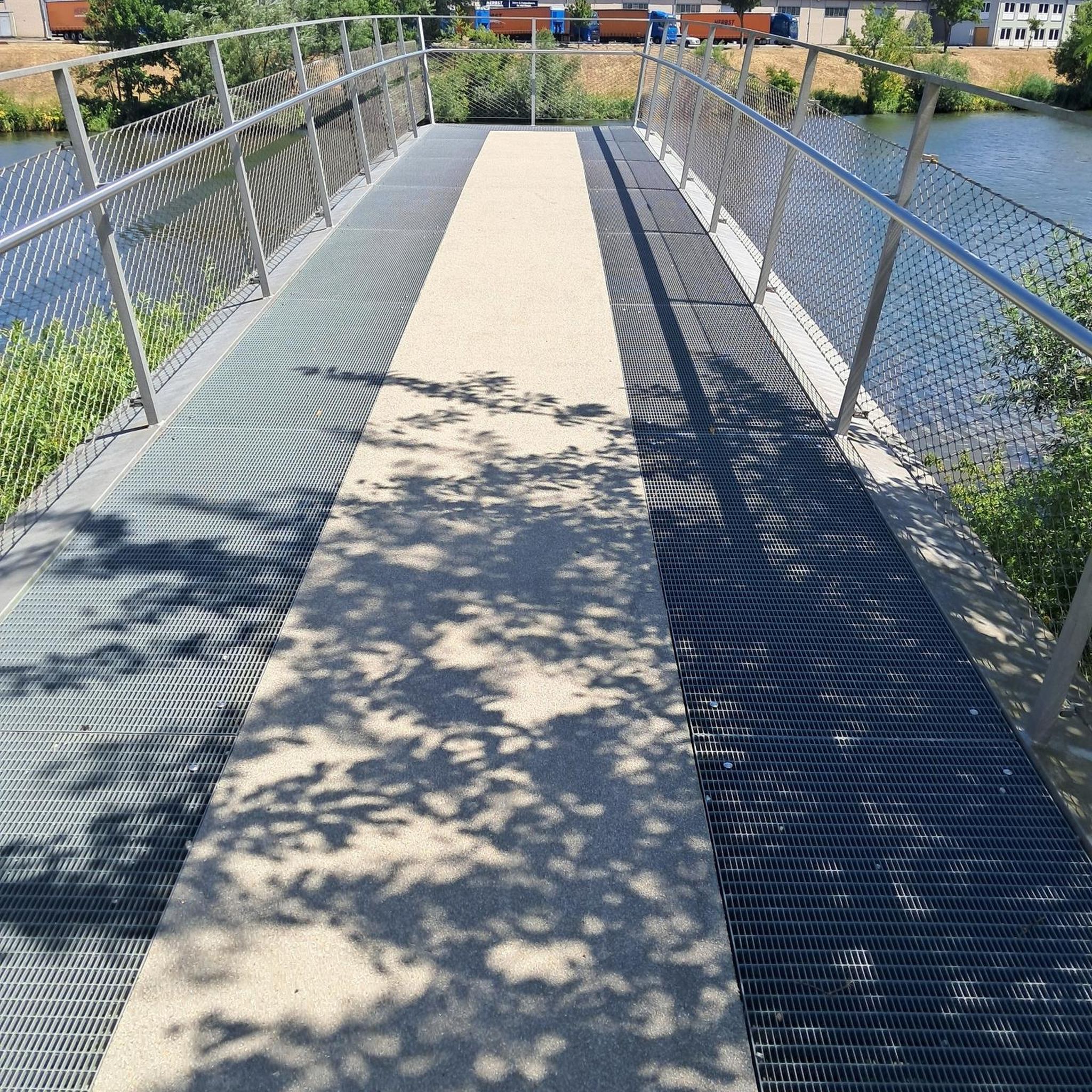
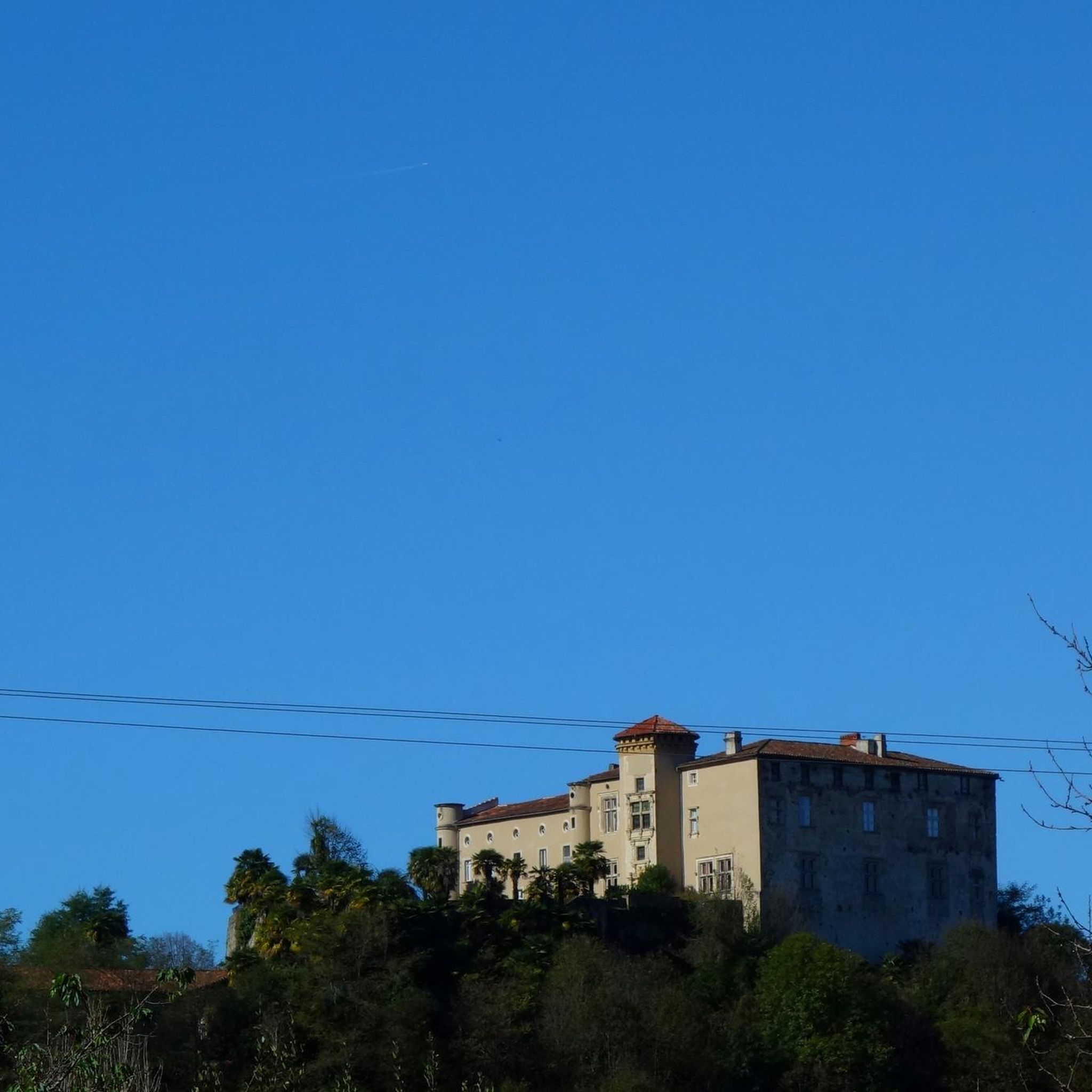
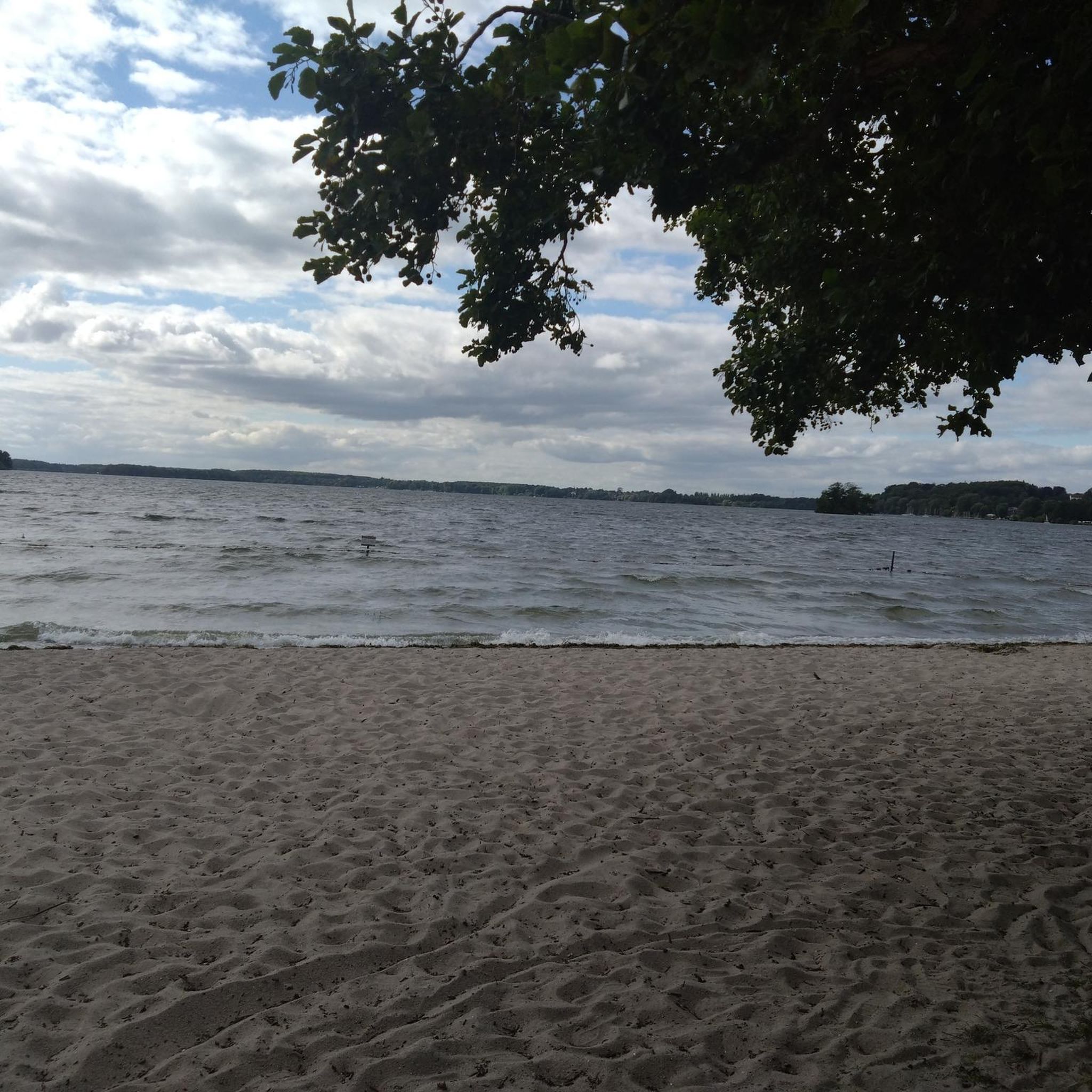
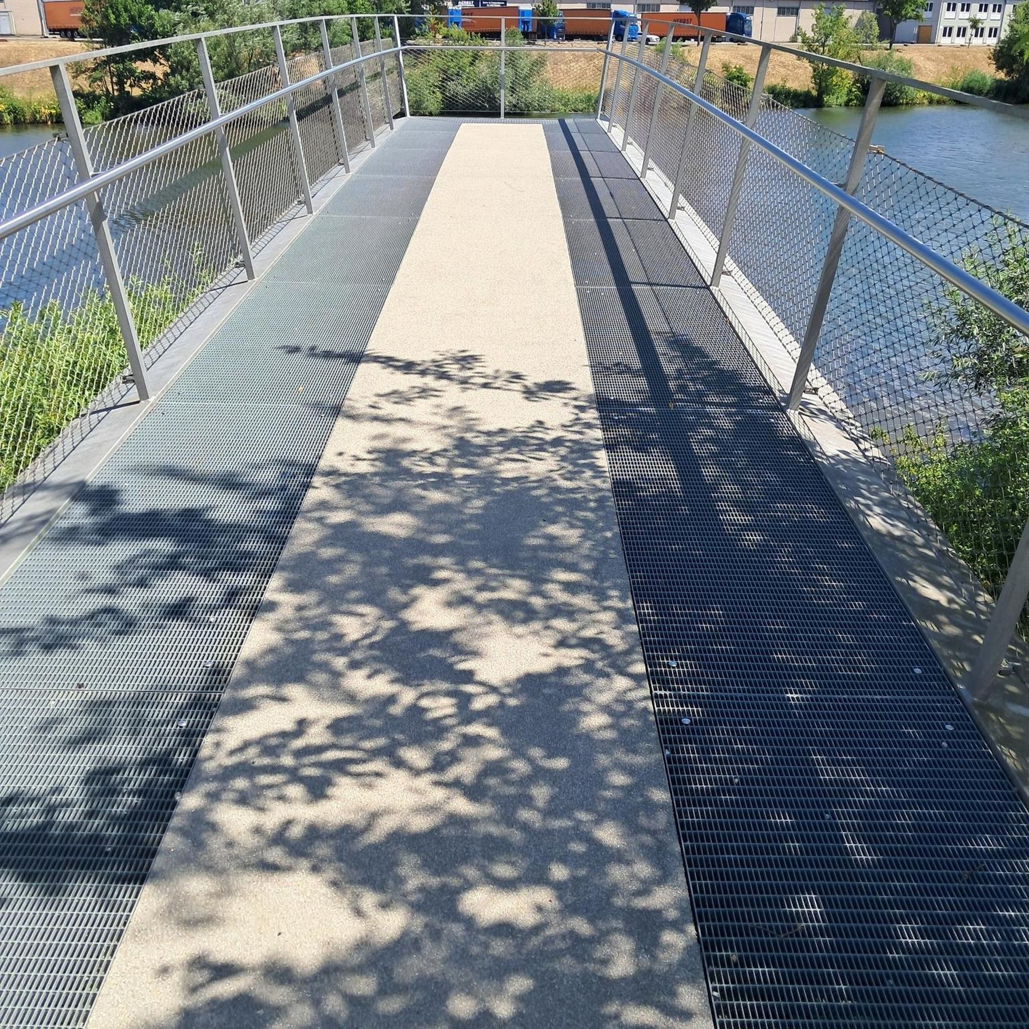

Tips from the Community

Not very long but good percentage
0
0

hard on a mountain bike but it's so beautiful
0
0

Beautiful pass of the Tour de France offering a very beautiful point of view at its summit. It can be accessed by gravel or mountain bike in two different ways and also left in two different ways without going through the tarmac ...
1
1

Memory and emotion in front of this monument. Never forget that cycling, whether professional or amateur, can be dangerous. So be careful
0
0

Unfortunately, the picnic bench no longer exists...
0
0

Popular with cyclists, the Portet-d'Aspet pass peaks at an altitude of 1,069 meters between the Ger and Bouigane valleys.
1
0

It's also worth looking back while driving
0
0

Mythical pass marked several times by the Tour de France. The panorama is remarkable!
1
0
Frequently Asked Questions
How many road cycling routes are available around Montgaillard-De-Salies?
There are over 125 road cycling routes around Montgaillard-De-Salies, offering a wide range of options for different skill levels. These routes are highly rated by the komoot community, with an average score of 4.7 stars.
What kind of terrain can I expect when road cycling in Montgaillard-De-Salies?
The region around Montgaillard-De-Salies features a varied topography, with elevations ranging from 307 to 424 meters. You'll find an undulating landscape with a mix of gentle rolling hills and more demanding ascents, set against a backdrop of open countryside, wooded areas, and impressive views of the Pyrénées mountains.
Are there challenging road cycling routes for experienced riders?
Yes, Montgaillard-De-Salies offers several challenging routes. For instance, the Portet-d'Aspet pass – Fabio Casartelli Memorial loop from Mane is a difficult 83.2 km trail featuring significant climbs through the Pyrenean foothills. Another demanding option is the Col de Larrieu (704 m) – Portet-d'Aspet pass loop from Urau, which includes substantial elevation gain across mountain passes.
Are there any easier or family-friendly road cycling options?
While the region is known for its varied terrain, there are options suitable for less experienced riders. The area's local cycling clubs have developed routes for all levels, including leisurely heritage trails. The V81 Pyrenean Piedmont Plain Véloroute, accessible nearby, offers a more accessible alternative to higher mountain passes, winding through peaceful roads with stunning views.
What are some scenic viewpoints or natural features to look out for on road cycling routes?
Cyclists are consistently treated to panoramic views of the majestic Pyrénées mountains throughout the region. Routes often run along or cross the picturesque Salat river, and you'll pass through charming rural villages. The area also boasts natural heritage zones and is close to the Pyrénées Ariégeoises Regional Natural Park, offering extensive natural landscapes.
What is the best time of year for road cycling in Montgaillard-De-Salies?
The region benefits from a degraded oceanic climate with mild summers, making for pleasant cycling conditions for much of the year. Spring and autumn generally offer ideal temperatures and less traffic, while mild summers are also suitable for riding.
What do other road cyclists enjoy most about the routes in Montgaillard-De-Salies?
The routes in Montgaillard-De-Salies are highly rated by the komoot community, with an average score of 4.7 stars from over 80 reviews. Cyclists often praise the diverse terrain, from rolling hills to challenging climbs, and the stunning views of the Pyrenees. The blend of open countryside and wooded areas also contributes to a varied and enjoyable experience.
Are there any notable landmarks or attractions I can see along the road cycling routes?
Yes, the region offers several points of interest. You might encounter the Col de Larrieu (704 m), a significant mountain pass. Other nearby attractions include historical sites like Abbaye de Bonnefont and the Stone Bridge and City Gates of Saint-Martory, adding cultural richness to your ride.
Are there any loop routes available for road cyclists?
Yes, many routes are designed as loops, allowing you to start and finish in the same location. Examples include the Col de Larrieu (704 m) – Miegecoste Chapel loop from Mane, a moderate 38.2 km trail, and the more challenging Col de Larrieu (704 m) – Château de Beauchalot loop from Chein-Dessus.
Where can I find parking or starting points for road cycling routes?
While Montgaillard-De-Salies is a small commune, the nearby town of Salies-du-Salat, just 5 kilometers away, is a recognized cycling hub and a good starting point. Many routes also begin from surrounding villages like Mane, Urau, or Chein-Dessus, where you can typically find local parking options.
Are there long-distance cycling trails accessible from Montgaillard-De-Salies?
Yes, the V81 Pyrenean Piedmont Plain Véloroute is an extensive route accessible from the area. This route provides a long-distance option, winding through peaceful roads between hills and valleys, and offering stunning views of the Pyrenees range as it connects the Atlantic Ocean to the Mediterranean Sea.
Most popular routes around Montgaillard-De-Salies
Most popular attractions around Montgaillard-De-Salies

Get inspired with the komoot mobile app


Explore more
Browse the best Road cycling routes in other regions.
