The best road cycling routes around Laboulbène
4.3
(154)
4,322
riders
268
rides
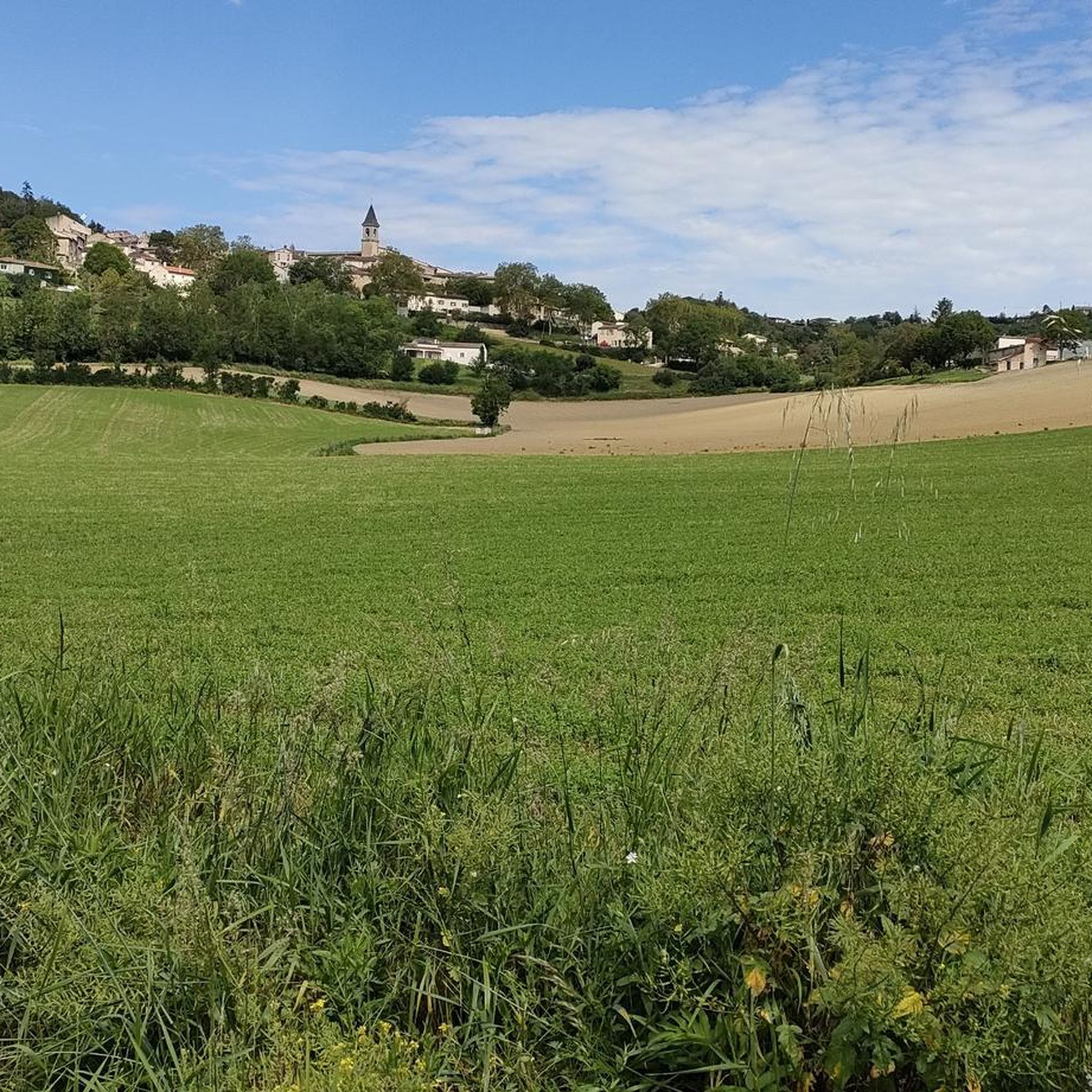
Road cycling routes around Laboulbène traverse the varied landscapes of the Tarn department in the Occitanie region of France. The area features diverse terrains, from easy, mostly paved surfaces to more challenging routes with significant elevation gains. Cyclists can expect to encounter rolling hills, river valleys, and agricultural lands, characteristic of the broader region. The routes often provide views of the surrounding countryside and connect to nearby towns.
Best road cycling routes around Laboulbène
- The most popular road cycling route…
Last updated: November 13, 2026
23
riders
106km
05:16
1,660m
1,660m
Hard road ride. Very good fitness required. Some segments of this route may be unpaved and difficult to ride.
21
riders
105km
05:19
1,400m
1,400m
Hard road ride. Very good fitness required. Some segments of this route may be unpaved and difficult to ride.

9
riders
47.9km
02:03
340m
340m
Moderate road ride. Good fitness required. Mostly well-paved surfaces and easy to ride.
5
riders
40.0km
01:48
290m
290m
Easy road ride. Mostly well-paved surfaces and easy to ride.
5
riders
53.1km
02:17
410m
410m
Moderate road ride. Good fitness required. Mostly well-paved surfaces and easy to ride.
Get access to more routes and recommendations from other explorers.
Already have an account?
Our route recommendations are based on thousands of hikes, rides, and runs completed by other people on komoot.
Start today with a free account
Your next adventure awaits.




Tips from the Community

very pretty viewpoint, a real balcony overlooking the Pyrenees with the beautiful Cathar castle
0
0

Very beautiful pass, not very difficult but very shaded for the great summer heat.
1
0

Carrefour du Pas du Sant - Possible descent to Massaguel or Dourgne or continue towards Arfons via the road. Legendary summit of the region which will be crossed during the Tour de France 2025.
0
0

Old dovecote typical of the region
0
0

Regular climb of 12 km, ideal for a smooth effort. No big percentages. Very pleasant on sunny days because it is shaded.
1
0
Frequently Asked Questions
How many road cycling routes are available around Laboulbène?
There are over 270 road cycling routes around Laboulbène, offering a wide range of options for different skill levels. The komoot community has rated these routes highly, with an average score of 4.2 stars.
What kind of terrain can I expect on road cycling routes in the Laboulbène area?
The Laboulbène area, situated in the Tarn department, features diverse terrains. Cyclists can expect a mix of rolling hills, river valleys, and agricultural lands, characteristic of the broader Occitanie region. Routes vary from mostly paved, easy surfaces to more challenging paths with significant elevation gains.
Are there any easy road cycling routes suitable for beginners near Laboulbène?
Yes, there are several easy routes. For a less demanding ride through the rural landscape, consider the Burlats loop from Saint-Antoine de la Verdarié, which is an easy 19.6 miles (31.5 km) path.
What are some challenging road cycling routes for experienced cyclists around Laboulbène?
For experienced cyclists seeking a challenge, the Burlats – Peyro Clabado loop from Puech de Bordes is a 36.3 miles (58.4 km) trail with substantial climbing. Another difficult option is the extensive Lac de Saint-Ferréol – Saint-Martin Church of Sorèze loop from Le Martinet, covering over 100 km with significant elevation.
What is the best time of year for road cycling in the Laboulbène region?
The broader Tarn department, where Laboulbène is located, generally offers pleasant cycling conditions from spring through autumn. Spring and early summer provide lush landscapes and moderate temperatures, while autumn brings cooler weather and vibrant foliage. Summers can be warm, so early morning or late afternoon rides are often preferred.
Are there any circular road cycling routes around Laboulbène?
Many of the road cycling routes in the Laboulbène area are designed as loops. Examples include the Peyro Clabado – Burlats loop from Saint-Jean-de-Vals and the View of Lautrec – Lautrec loop from Lautrec, providing convenient starting and ending points.
What can I see along the road cycling routes near Laboulbène?
While cycling, you can explore charming towns and scenic viewpoints. Notable attractions include the historic town of Castres, the picturesque village of Burlats, and the scenic View of Lautrec. These routes often provide glimpses of the region's natural beauty and cultural heritage.
Are there any specific scenic viewpoints or natural features to look out for?
The routes often provide scenic views of the surrounding countryside, characterized by rolling hills and river valleys. While specific prominent natural features directly within Laboulbène are limited, the broader Tarn region is known for its varied landscapes, including areas like the Gorges du Tarn further afield, and diverse natural environments in neighboring departments such as Tarn-et-Garonne.
What do other road cyclists enjoy most about cycling in Laboulbène?
The area is highly rated by the komoot community, with an average score of 4.2 stars from over 100 reviews. Reviewers often praise the varied terrain, which offers options for different ability levels, and the scenic views of the surrounding countryside and charming villages.
Are there opportunities for longer road cycling tours that extend beyond Laboulbène?
Yes, the Laboulbène area serves as a good starting point for longer tours into the wider Tarn department and the Occitanie region. These regions offer extensive networks of roads through diverse landscapes, including the Montagne Noire and the Tarn Valley, allowing for multi-day adventures or longer, challenging rides.
What kind of amenities can I expect along the road cycling routes?
While specific amenities like cafes or bike repair shops are not listed for every route, the routes often connect to nearby towns such as Castres and Lautrec. These towns typically offer various services, including places to eat, drink, and resupply, making them convenient stops during your ride.
Is there information on parking for road cyclists in the Laboulbène area?
While specific parking locations are not detailed for every route, most routes start from or pass through villages and towns where public parking is generally available. It is advisable to check local parking options in the starting village of your chosen route, such as Saint-Jean-de-Vals or Puech de Bordes.
Most popular routes around Laboulbène
Most popular attractions around Laboulbène

Get inspired with the komoot mobile app


Explore more
Browse the best Road cycling routes in other regions.
