The best running trails in the Barisan Mountains
179
runners
10
runs
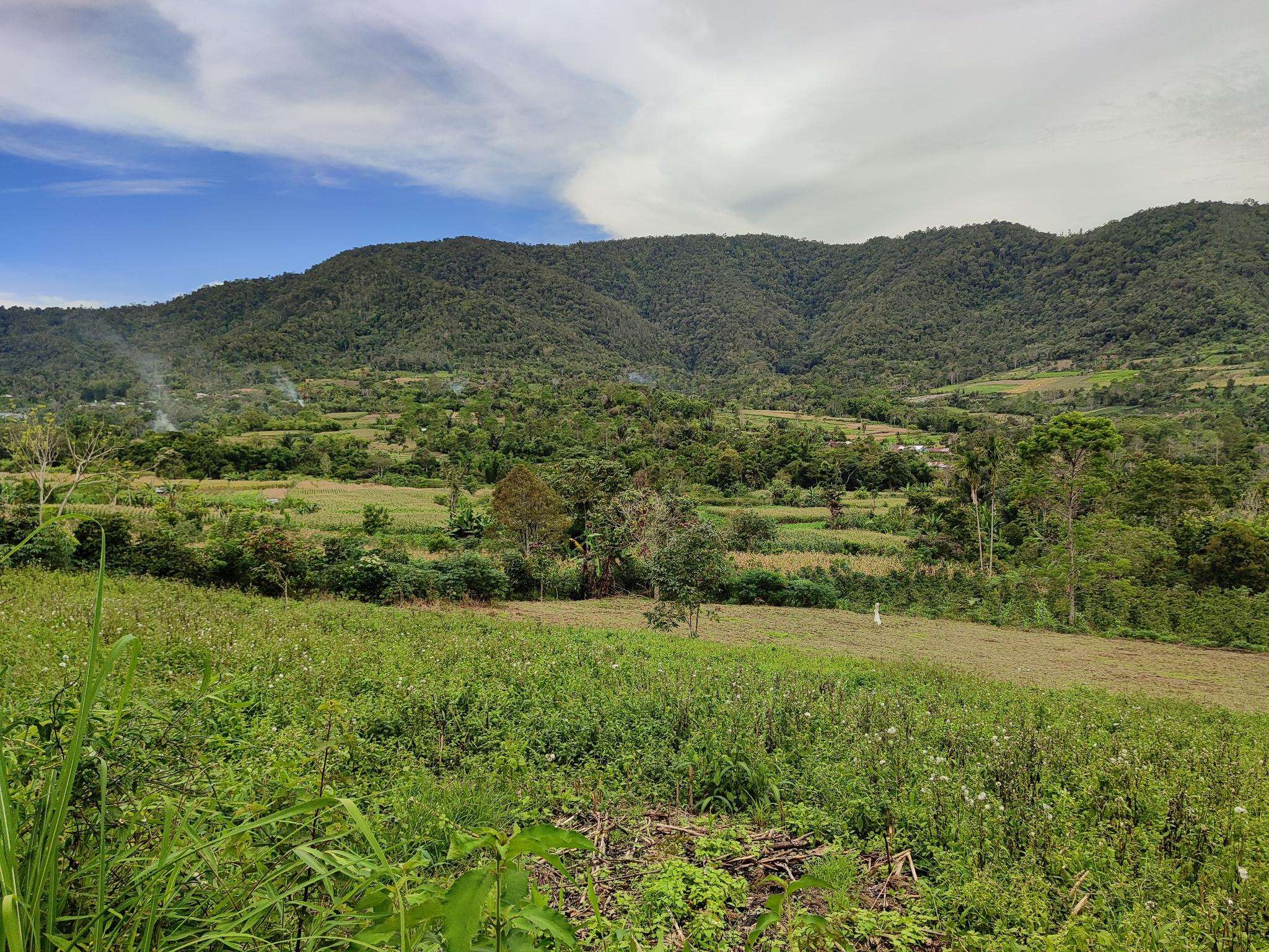
Jogging in the Barisan Mountains offers an opportunity to explore a diverse landscape characterized by an extensive volcanic mountain range. The region features towering peaks, lush rainforests, and deep valleys, providing varied terrain for running. Joggers can navigate paths through dense jungle cover and along the shores of significant hydrological formations like volcanic lakes. This environment presents a range of running experiences, from relatively flat routes to more challenging trails with elevation changes.
Best jogging routes in the Barisan Mountains
…Last updated: May 17, 2026
22
runners
10.9km
01:08
90m
90m
Moderate run. Good fitness required. Mostly paved surfaces. Suitable for all skill levels.
5
runners
7.12km
00:49
170m
170m
Moderate run. Good fitness required. Mostly paved surfaces. Suitable for all skill levels.

Sign up for free
8
runners
6.66km
00:42
40m
40m
Moderate run. Good fitness required. Mostly paved surfaces. Suitable for all skill levels.
5
runners
9.11km
01:01
230m
230m
Moderate run. Good fitness required. Mostly paved surfaces. Suitable for all skill levels.
3
runners
12.4km
01:17
30m
30m
Moderate run. Good fitness required. Mostly paved surfaces. Suitable for all skill levels.
6
runners
11.0km
01:09
30m
30m
Moderate run. Good fitness required. Mostly paved surfaces. Suitable for all skill levels.
Get access to more routes and recommendations from other explorers.
Sign up for free
Already have an account?
Our route recommendations are based on thousands of hikes, rides, and runs completed by other people on komoot.
Start today with a free account
Your next adventure awaits.
Login or Signup
Popular around Barisan Mountains
Frequently Asked Questions
How many running routes are available in the Barisan Mountains?
There are over 10 dedicated running routes in the Barisan Mountains documented on komoot, offering a variety of experiences for different skill levels. These include 2 easy routes, 8 moderate routes, and 1 difficult route, ensuring options for everyone from casual joggers to experienced trail runners.
What kind of terrain can I expect on running trails in the Barisan Mountains?
The Barisan Mountains offer a highly diverse landscape for running. You can expect trails through dense rainforests, along the shores of volcanic lakes like Lake Toba, and paths with significant elevation changes as you navigate the region's dramatic ridges and valleys. Some areas, such as the Kayu Aro tea plantations, provide relatively even terrain, while national parks present more rugged and challenging paths.
Are there easy jogging routes suitable for beginners or a more relaxed run?
Yes, the Barisan Mountains offer several easy to moderate jogging routes. For a scenic and relatively accessible run, consider the Running loop from Tuktuk Siadong, which is a moderate 6.7-mile (10.9 km) trail offering views of Lake Toba. There are 2 routes categorized as easy in the region, perfect for those looking for a less strenuous experience.
Are there challenging routes for experienced trail runners?
Absolutely. For experienced trail runners seeking a challenge, the Barisan Mountains provide routes with significant elevation changes and varied terrain. The Running loop from Tanjungkarang is a difficult 10.6-mile (17.1 km) path that navigates varied terrain with notable ascents and descents, ideal for a demanding workout.
Can I see any natural landmarks or attractions while running in the Barisan Mountains?
Many running routes in the Barisan Mountains offer stunning natural sights. You might encounter dramatic volcanic landscapes, lush rainforests, and scenic lakes. Notable attractions in the region include Mount Sibayak, a prominent volcano, and the vast Kerinci Seblat National Park, known for its biodiversity. Some routes also pass by significant hydrological formations like Lake Toba.
Are there any running routes that feature waterfalls or lakes?
Yes, the Barisan Mountains are rich in hydrological formations. The region is home to significant lakes such as Lake Toba, the world's largest volcanic lake, and Lake Gunung Tujuh. While specific routes directly to waterfalls are not listed in the guide, many trails meander through areas where rivers create waterfalls, and routes like the Running loop from Tuktuk Siadong offer beautiful views of Lake Toba.
What is the best time of year for running in the Barisan Mountains?
The Barisan Mountains generally have a tropical climate. While specific 'best' seasons for running aren't detailed, the lush rainforests and volcanic terrain mean conditions can vary. It's advisable to check local weather forecasts, especially during the rainy season, as trails can become muddy and challenging. The varied altitudes also mean temperatures can differ, so be prepared for different conditions.
Are there family-friendly running routes in the Barisan Mountains?
While the guide doesn't explicitly label routes as 'family-friendly,' the 2 easy routes available would likely be suitable for families looking for a less strenuous activity. The relatively even terrain found within the extensive Kayu Aro tea plantations could also offer a pleasant and accessible jogging experience for families.
Is it possible to spot wildlife while running on the trails?
Running through the Barisan Mountains offers a chance for nature immersion. The dense rainforests are part of a biodiversity hotspot, teeming with unique flora and fauna. While encountering critically endangered species like Sumatran tigers or rhinos is rare and they reside in less accessible protected areas, you may still spot various birds, insects, and other smaller wildlife, especially on quieter trails.
Are there circular running routes available?
Yes, many of the running routes in the Barisan Mountains are designed as loops, allowing you to start and finish at the same point. Examples include the Running loop from Lembah Harau Nature Reserve, a 4.4-mile (7.1 km) trail, and the Running loop from Pangururan, a 9.1-mile (14.7 km) route.
What do other runners enjoy most about jogging in the Barisan Mountains?
Runners using komoot to explore the Barisan Mountains often praise the region's stunning natural beauty and varied terrain. The opportunity to run through dense jungles, past volcanic formations, and alongside scenic lakes provides a unique and immersive experience. The diversity of routes, from moderate loops to more challenging trails, is also highly appreciated by the community.
Most popular routes in the Barisan Mountains
Most popular attractions in the Barisan Mountains

Get inspired with the komoot mobile app


Explore more
Browse the best Running Trails & Routes in other regions.
