The best walks and hikes around La Brigue
4.7
(304)
1,532
hikers
31
hikes
Hiking trails around La Brigue are set within the Alpes-Maritimes department of France, offering access to the Mercantour National Park and the Valley of Wonders. The region features a diverse landscape of majestic mountains, thickly forested valleys, and limestone cliffs, traversed by the Levenza stream. Hikers can experience both alpine and Mediterranean panoramas, with terrain ranging from high rocky cliffs to karst formations.
Best hiking trails around La Brigue
- The most popular hiking route is Cime de Marta frontier ridge…
Last updated: May 26, 2026
3
hikers
11.9km
04:58
800m
800m
Moderate hike. Good fitness required. Mostly accessible paths. Sure-footedness required.
1
hikers
3.15km
02:06
420m
420m
Moderate hike. Good fitness required. Mostly accessible paths. Sure-footedness required.

Sign up for free
4.6
(8)
63
hikers
Moderate hike. Good fitness required. Easily-accessible paths. Suitable for all skill levels.
4.7
(6)
26
hikers
Moderate hike. Good fitness required. Mostly accessible paths. Sure-footedness required.
5.0
(5)
24
hikers
Moderate hike. Good fitness required. Easily-accessible paths. Suitable for all skill levels.
Get access to more routes and recommendations from other explorers.
Sign up for free
Already have an account?
Our route recommendations are based on thousands of hikes, rides, and runs completed by other people on komoot.
Start today with a free account
Your next adventure awaits.
Login or Signup
Popular around La Brigue
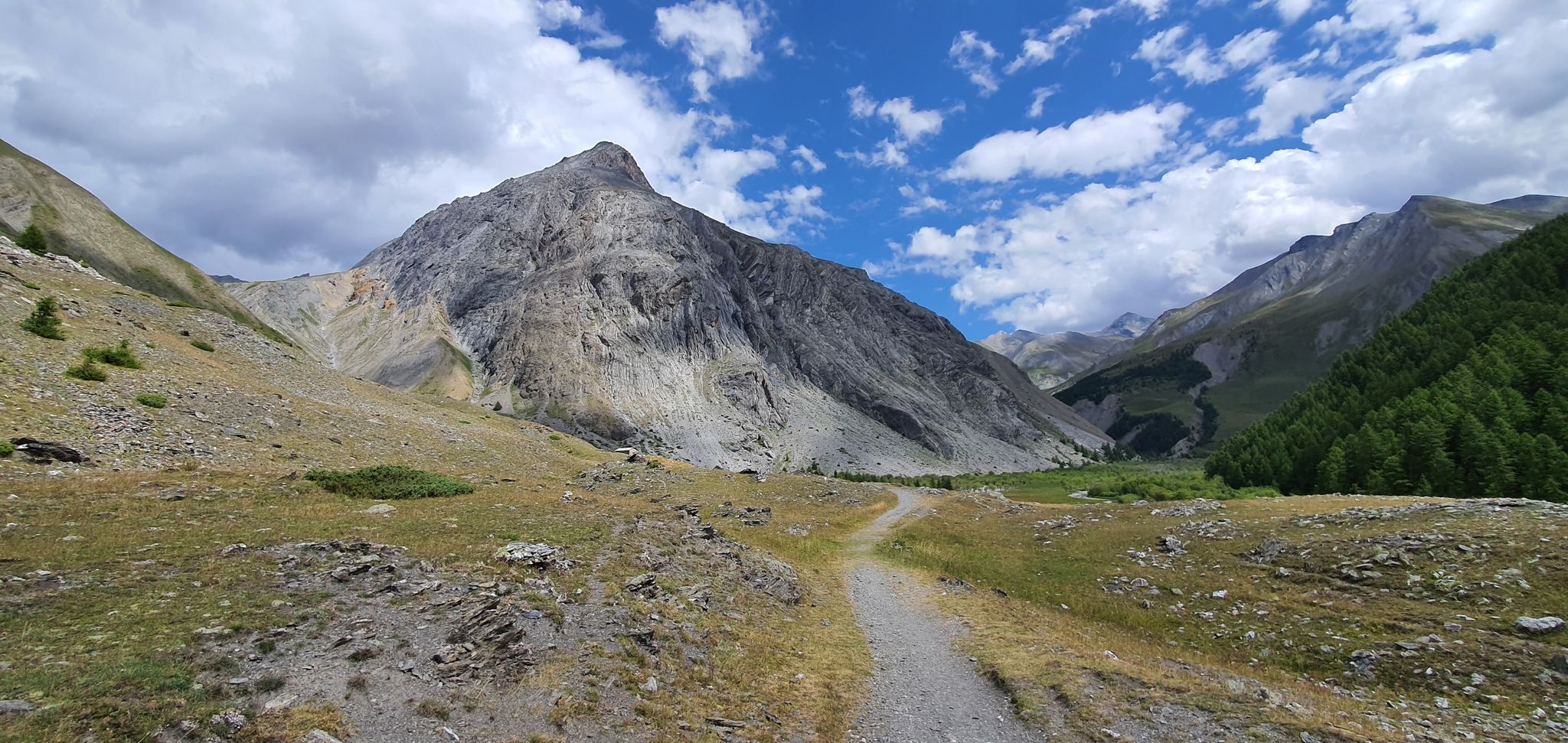
Western trans-alpine crossing – pure adventure on your mountain bike
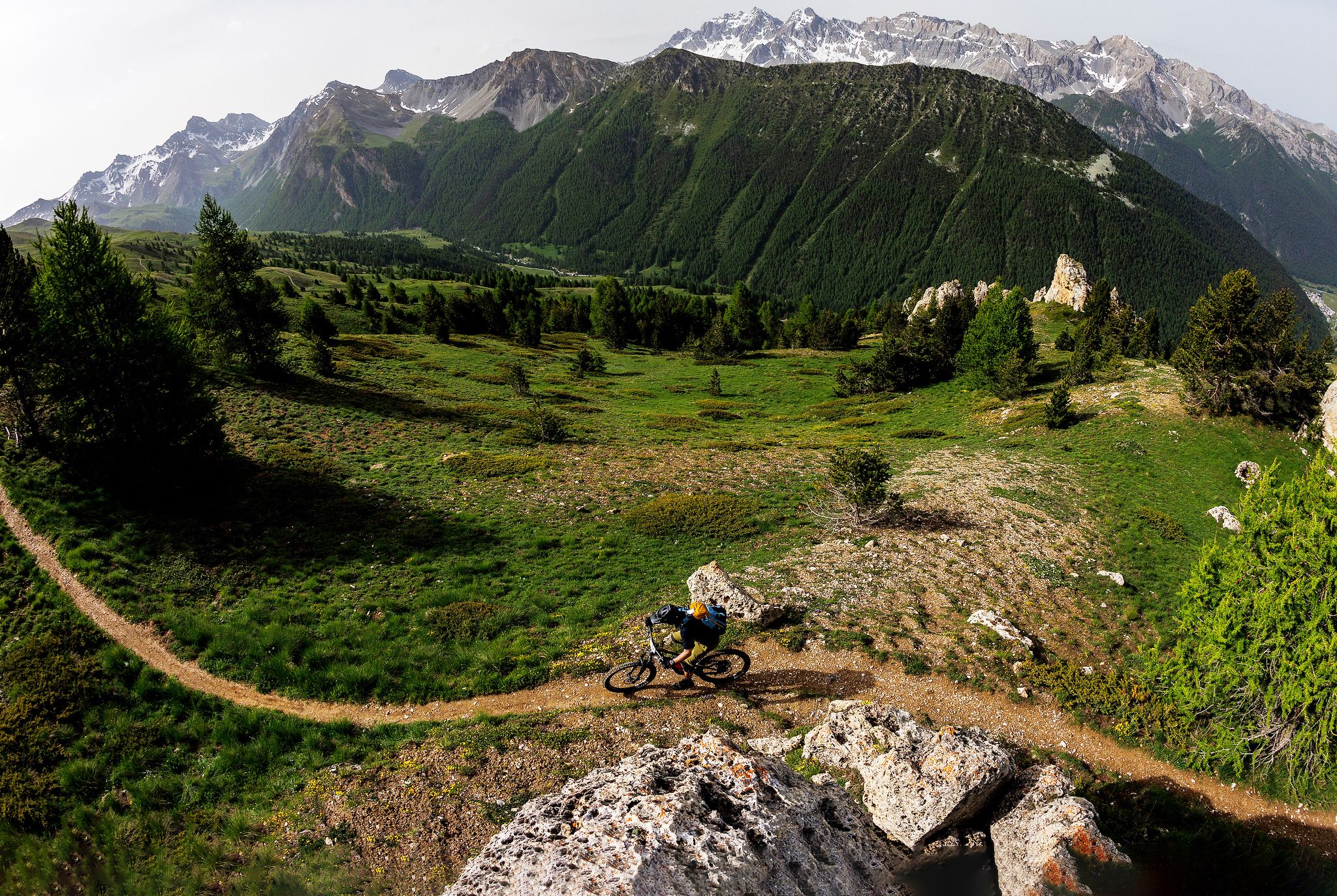
The STONE KING Route – adventure enduro from High Alps to the Med
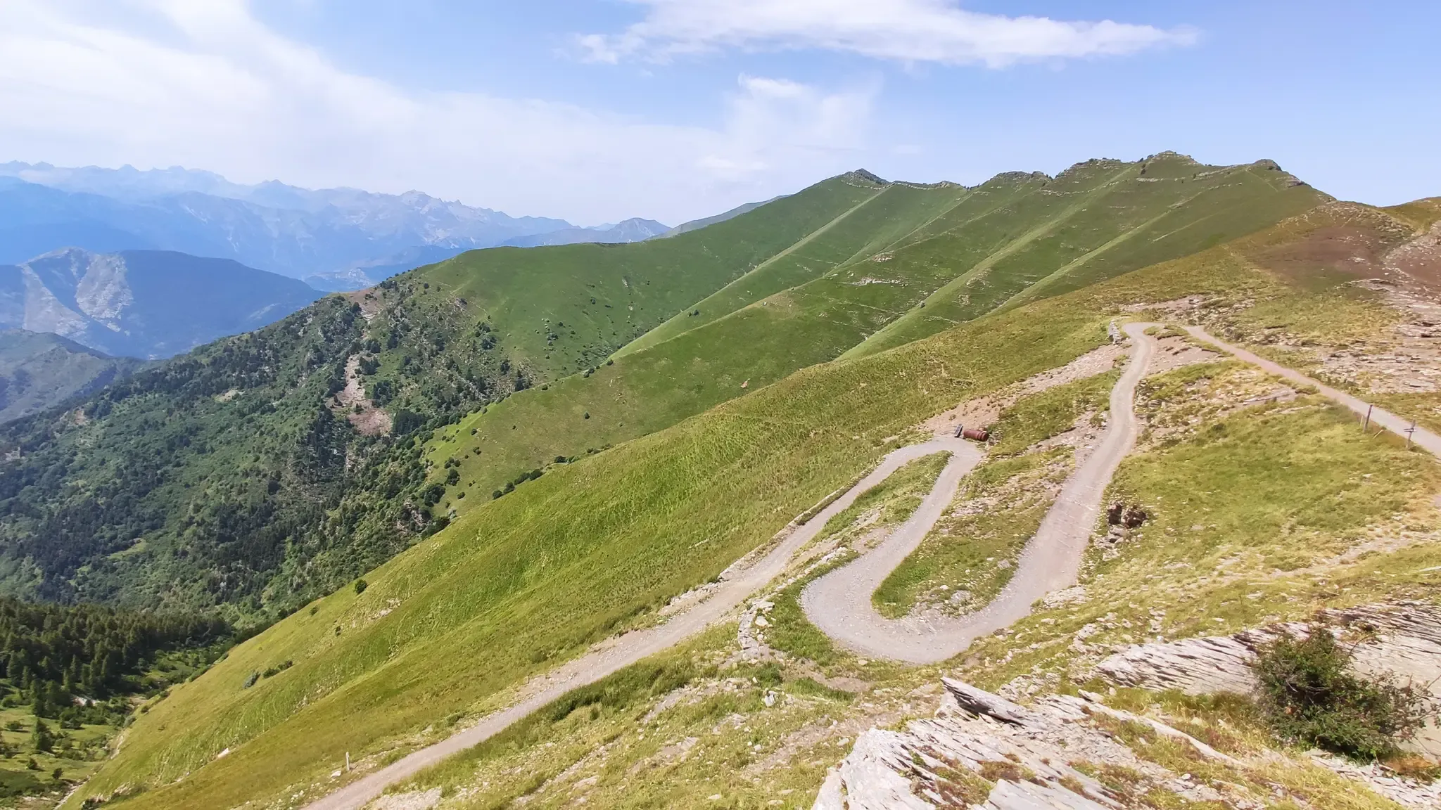
MTB between sky, land and sea – Italy’s Alta Via dei Monti Liguri
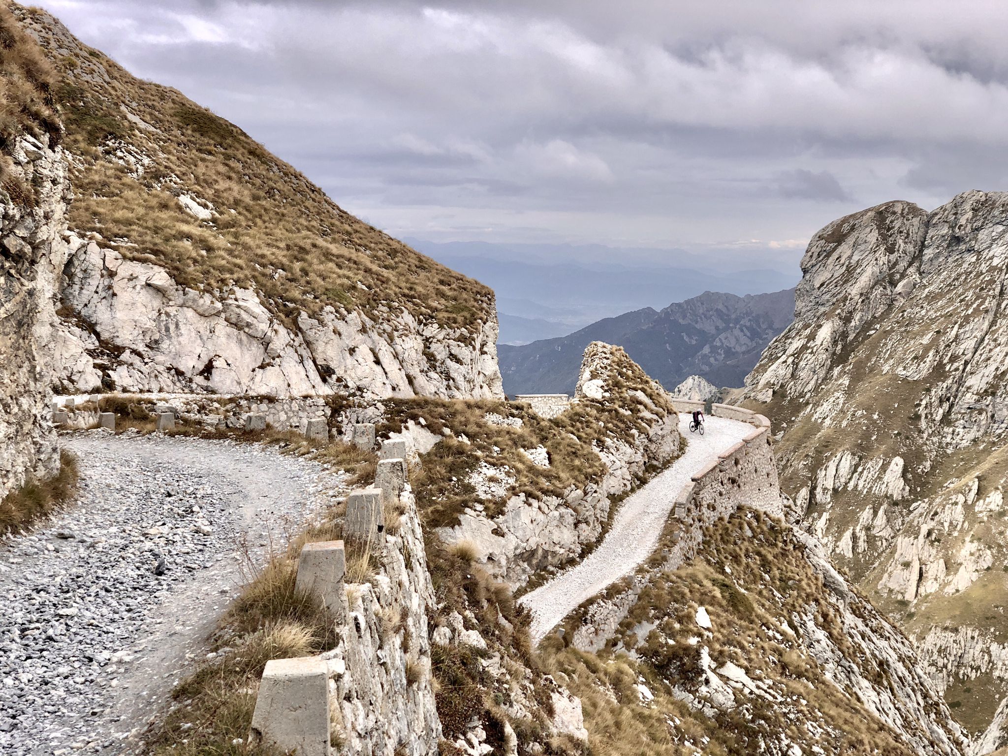
Rough and tough – spectacular gravel loops in the Alps

Gravel biking around La Brigue
MTB Trails around La Brigue
Road Cycling Routes around La Brigue
Cycling around La Brigue
Running Trails around La Brigue

Mountain Hikes around La Brigue
Other adventures around La Brigue


Tips from the Community

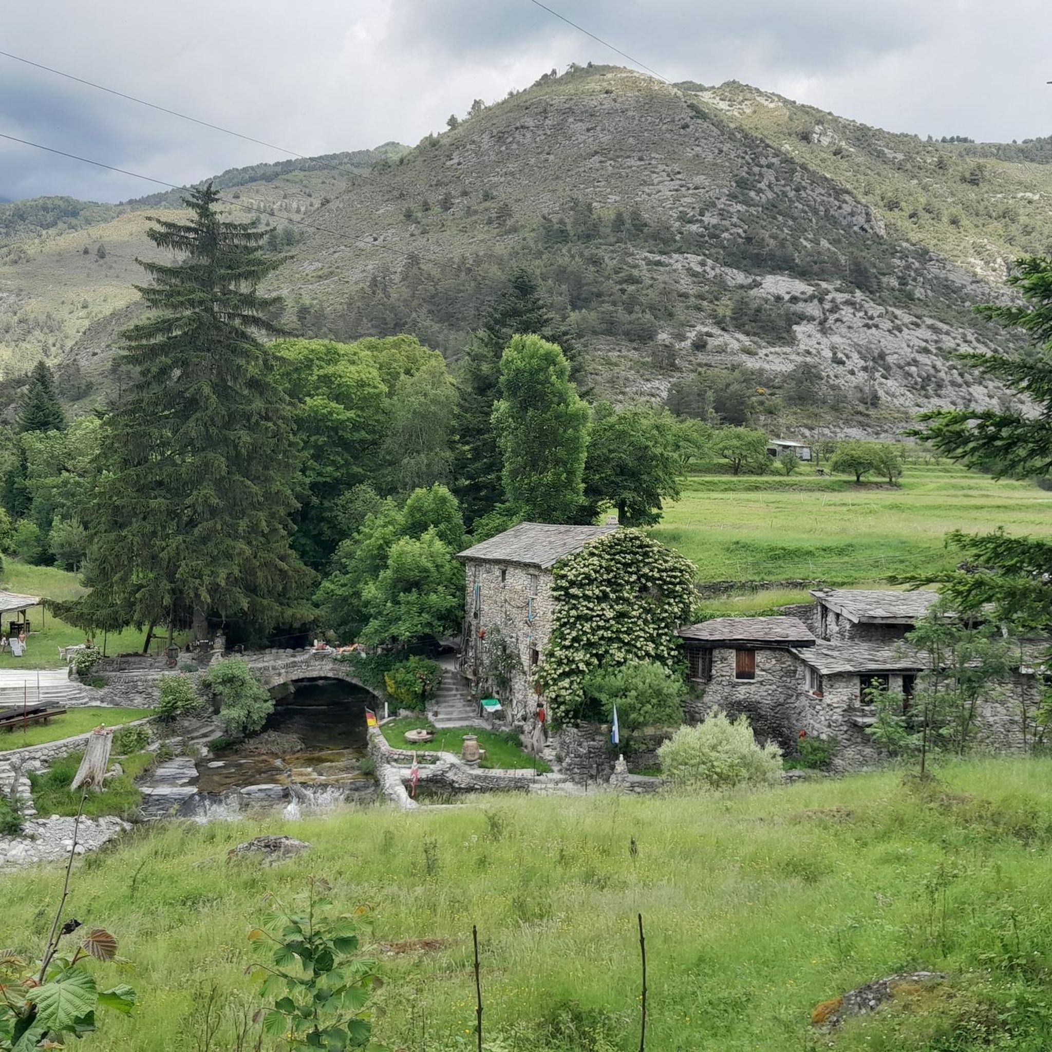
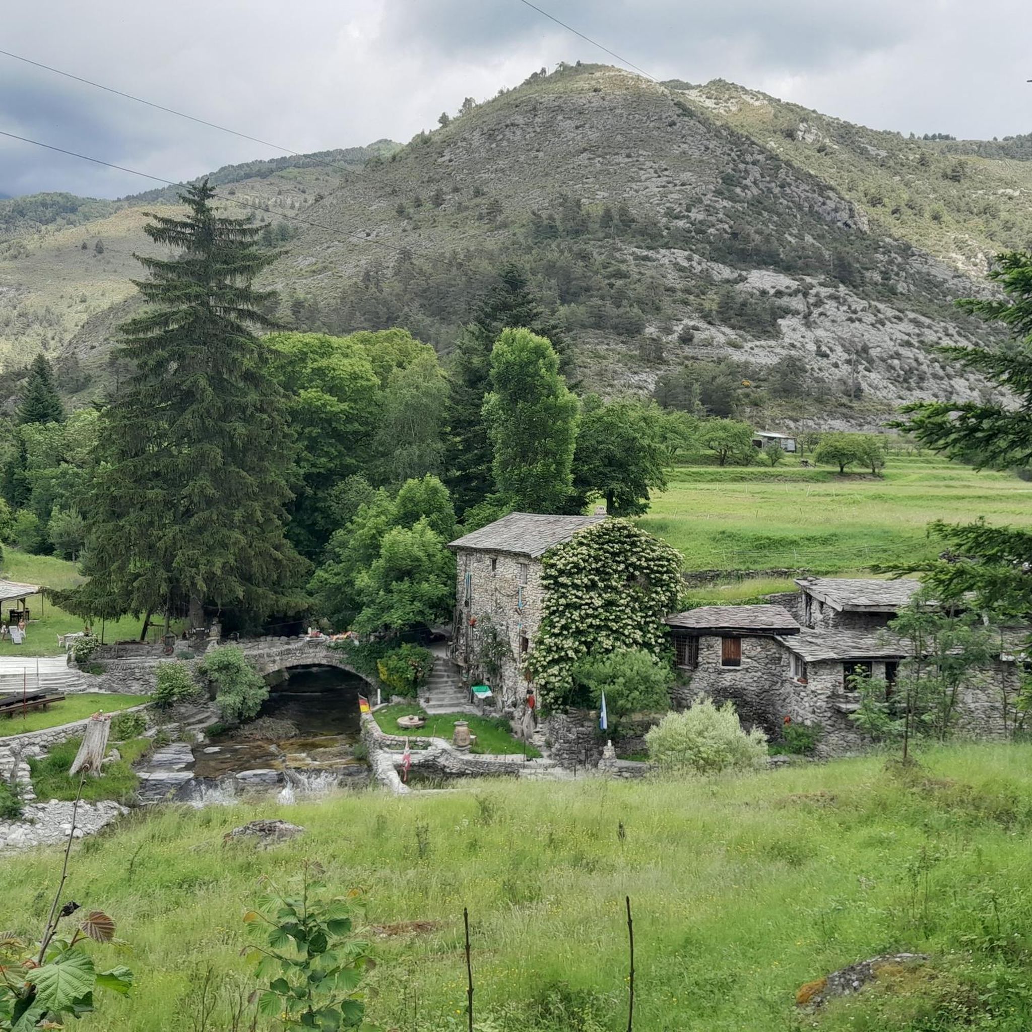
Exploit technique or work of the devil? The Pont du Coq immediately surprises with its improbable angle above the Levenza. It was rebuilt in 1710 after a flood destroyed the old medieval bridge.
0
0

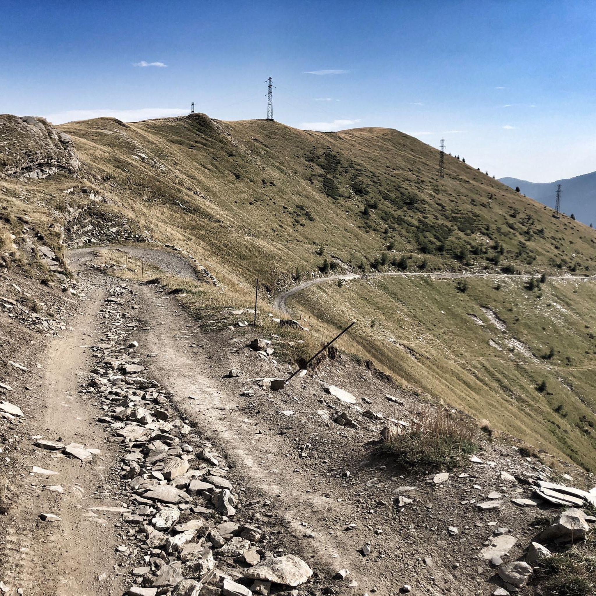
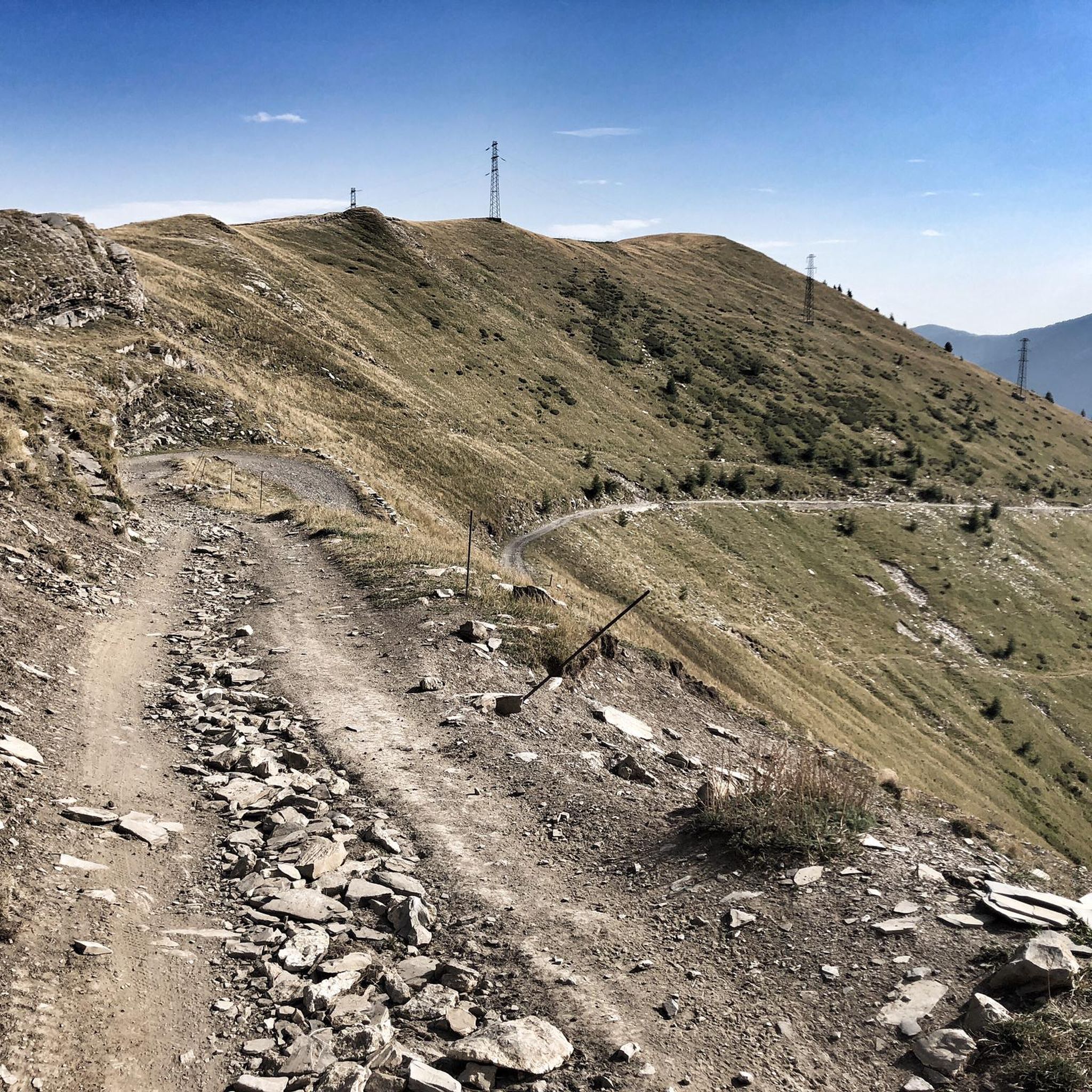
Spot for group photo break, panoramic view with peaks on the horizon
0
0

Dreamlike landscape and hardly any people
0
0

Beautiful area with tables and chairs. Perfect for taking a break and relaxing in nature.
0
0
Beautiful area with tables and chairs. Perfect for picnics and relaxing in nature.
0
0

Bookable online by sending the access code via email. 24 beds.
0
0

Technical skill or devil's work? This angular bridge is very curious... At the beginning of the 18th century, the previous medieval bridge was destroyed by a flood of the river Levenza. In 1710, the masons Cometto, father and son from Lugano, rebuilt the current bridge, composed of a large semi-circular arch over the Levenza with an important diameter of 14.20 m to cope with floods. On the right bank, a ramp on arches connects the current road (RD 43) and the bridge, crossing the flooded meadows at an angle of 110°. Conversely, the left bank is simply connected by a road extension. The road, about 2.60 m wide, has an additional width at the junction angle between the bridge and the north ramp to facilitate the rotation of drawn carts. The work is built in mortared rubble masonry and the road is covered with a cobblestone tread, typical of the region. In addition, masonry parapets were added later to delimit the road. One of the most popular legends about the Pont du Coq in La Brigue tells that the village was once regularly attacked by bandits from the mountains. The inhabitants therefore decided to build a bridge to facilitate their escape in case of attack. However, they did not have enough stones to complete the construction and the bridge was about to be abandoned. One morning, a rooster appeared on the construction site and began to scratch the ground with its paws. The inhabitants took it as a sign and, by digging where the rooster had scratched, they found a large quantity of stones that were used to complete the construction of the bridge. From that day on, the rooster became the symbol of the bridge, in gratitude for its help. Another legend has it that the Pont du Coq was haunted by the spirit of a young girl who had drowned in the river. The villagers organized a ceremony to appease her spirit, during which a rooster was sacrificed. From that day on, the bridge is considered a place of purification and reconciliation. https://www.menton-riviera-merveilles.it
0
0

The picture is meaningless, but the area is all the more beautiful.
0
0
Frequently Asked Questions
How many hiking trails are available around La Brigue?
La Brigue offers a diverse network of over 30 hiking trails. These routes range from easy strolls to challenging alpine ascents, catering to various skill levels within the stunning landscapes of the Alpes-Maritimes.
Are there any easy hiking trails suitable for beginners or families in La Brigue?
Yes, La Brigue has several easy trails. For a moderate option that is still accessible, consider the Old Brick Kiln Ruins – Bridge "du Coq" (of the Rooster) loop from La Brigue. This route is 4.8 miles (7.7 km) long and takes about 2 hours 17 minutes, offering a pleasant walk through the local scenery.
What are some challenging hikes for experienced trekkers in the La Brigue area?
For experienced hikers seeking a challenge, the region offers routes like the Rifugio Don Barbera – Punta Marguareis Summit loop from Cima di Gaina / Cime de la Galine. This difficult 3.6 miles (5.7 km) trail involves significant elevation gain through alpine terrain, typically completed in about 3 hours 10 minutes.
Are there any circular hiking routes around La Brigue?
Yes, many trails in La Brigue are designed as circular routes. An example is the Old Brick Kiln Ruins – Bridge "du Coq" (of the Rooster) loop from La Brigue, which allows you to start and finish in the same location while exploring historical points of interest.
What kind of natural attractions can I see along the hiking trails near La Brigue?
Hiking around La Brigue offers access to stunning natural features. You can discover waterfalls like the Saut Waterfalls and Waterfall Gias Fontana. The trails also lead through mountainous terrain with panoramic views, including the Mercantour National Park and the Valley of Wonders.
Are there any historical or cultural points of interest accessible by hiking in La Brigue?
Absolutely. The region is rich in history. You can hike along sections of the historic "Salt Routes" like the Colle della Boaria Hairpin on the Via del Sale. The famous Chapel of Notre-Dame des Fontaines, known for its 15th-century frescoes, is also reachable via a pleasant walk.
What do other hikers say about the trails in La Brigue?
The trails in La Brigue are highly regarded by the komoot community, with an average rating of 4.6 stars from over 300 reviews. Hikers often praise the diverse landscapes, from thickly forested valleys to high rocky cliffs, and the rewarding alpine and Mediterranean panoramas.
Is it possible to access hiking trails near La Brigue using public transport?
La Brigue is situated along the GR52A (Grande Randonnée) long-distance trail, which connects to other routes towards Tende and Breil-sur-Roya. This suggests some accessibility to the wider trail network, but specific public transport connections to individual trailheads would require local inquiry.
What is the best time of year to go hiking in La Brigue?
La Brigue offers diverse hiking experiences throughout the year. While specific conditions vary, the region's mix of alpine and Mediterranean climates means that spring and autumn generally provide pleasant temperatures for exploring. Summer is ideal for higher altitude trails, and winter can offer opportunities for snowshoeing or specific winter routes.
Are there any trails that offer exceptional panoramic views of the Maritime Alps?
Many trails in La Brigue provide breathtaking views. The Cime de Marta frontier ridge hike to Opera 33 bis is a popular choice, offering extensive views along a mountain frontier ridge. Similarly, the Mont Bertrand Trail involves significant elevation gain towards Mont Bertrand, rewarding hikers with sweeping vistas of the surrounding mountains.
Are there any specific trails that lead to mountain passes in the La Brigue area?
Yes, the region is known for its mountain passes. You can explore routes that cross passes like the Colle della Boaria Hairpin on the Via del Sale or the Col de Tende Hairpin Road. These passes often form part of longer, historic routes and offer unique perspectives of the landscape.
Most popular attractions around La Brigue

Get inspired with the komoot mobile app


Explore more
Browse the best Hikes in other regions.
