The best cycling routes around Couthenans
4.6
(152)
1,154
riders
138
rides
Touring cycling around Couthenans, located in the Haute-Saône department of Bourgogne-Franche-Comté, offers varied terrain for cyclists. The area features an elevation range from 331 to 480 meters, providing a mix of gentle slopes and more challenging ascents. Cyclists can explore rolling hills, serene river valleys, extensive forests, and plateaus. The region is known for its cycling infrastructure, including greenways and dedicated cycle paths.
Best touring cycling routes around Couthenans
- The most popular touring cycling route is La Coulée Verte –…
Last updated: October 29, 2026
4.0
(1)
42
riders
72.8km
04:57
1,100m
1,100m
Hard bike ride. Very good fitness required. Mostly paved surfaces.
24
riders
57.9km
03:33
490m
490m
Hard bike ride. Very good fitness required. Mostly paved surfaces.

4.0
(3)
21
riders
46.9km
02:54
440m
440m
Moderate bike ride. Good fitness required. Mostly paved surfaces.
4.5
(6)
14
riders
22.6km
01:24
180m
180m
Moderate bike ride. Good fitness required. Mostly paved surfaces.
4.5
(2)
22
riders
34.0km
02:01
210m
210m
Moderate bike ride. Good fitness required. Mostly paved surfaces.
Get access to more routes and recommendations from other explorers.
Already have an account?
Our route recommendations are based on thousands of hikes, rides, and runs completed by other people on komoot.
Start today with a free account
Your next adventure awaits.

Tips from the Community

The dam is an impressive piece of historical engineering: it is 785 meters long and rises 41 meters from the foundation. Walking on or along the dam offers a wide view of the deep blue water and the surrounding forests. Nice for cycling along the dam!
7
0
The Bassin de Champagney (or Champagney Reservoir) is an impressive artificial reservoir with a surface area of 107 hectares, located in the French department of Haute-Saône (Bourgogne-Franche-Comté region). The reservoir is situated in the southern foothills of the Vosges and was built between 1882 and 1905 to supply water to the never fully completed Canal de la Haute-Saône. Today, the lake has a capacity of 13 million m³ and is a popular destination for nature lovers, hikers, and fishermen.
7
0
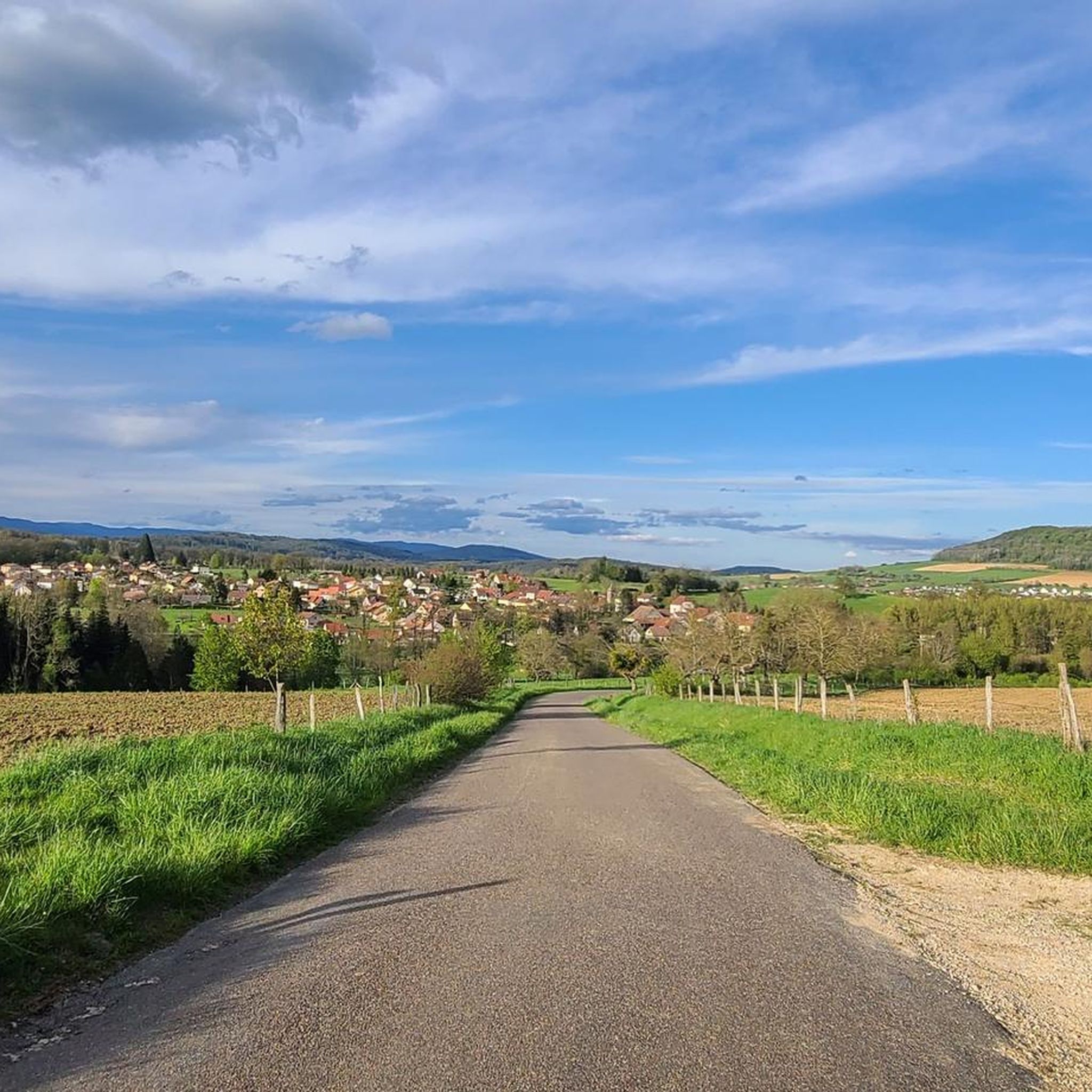
The Vosges are wooded and you can see that here on the panoramas.
7
0
Cozy inn on the Étang du Malsaucy, in the heart of a popular nature and recreation area.
6
0
This large lake is a popular stop along the cycling routes around Belfort, with beautiful views over the water and the surrounding nature.
7
0
The Étang du Malsaucy (often also called Lac du Malsaucy) is, with an area of 55 hectares, the largest lake in the French department of Territoire de Belfort. It is nestled in the Parc naturel régional des Ballons des Vosges, spread across the municipalities of Évette-Salbert, Lachapelle-sous-Chaux, and Sermamagny. Originally built at the end of the 15th century for fish farming, it is now one of the most important recreational and natural areas in the region.
7
0
La Planche des Belles Filles is a 5.8 kilometer climb. It is a category 1 climb. It is located in Plancher Les Mines, Franche-Comté, France. The average gradient of this climb is 8.6% with a maximum of 13.6%. La Planche des Belles Filles climbs from 527 meters at the start to 1,033 meters at the summit, for a total elevation gain of 506 meters.
7
0

Super tough to get there...
0
0
Frequently Asked Questions
How many touring cycling routes are available around Couthenans?
There are over 140 touring cycling routes around Couthenans, offering a wide variety of options for different preferences and skill levels. The komoot community has rated these routes highly, with an average score of 4.6 stars.
What types of terrain can I expect on touring cycling routes near Couthenans?
The region around Couthenans offers a diverse landscape for touring cyclists. You can expect to encounter rolling hills, serene river valleys, extensive forests, and plateaus. The elevation ranges from 331 to 480 meters, providing a mix of gentle slopes and more challenging ascents.
Are there touring cycling routes suitable for different skill levels in Couthenans?
Yes, Couthenans caters to various skill levels. You'll find options ranging from leisurely rides on greenways and dedicated cycle paths, which are often flatter, to more demanding climbs for experienced cyclists. The area has 25 easy, 64 moderate, and 58 difficult routes.
What historical sites can I visit while touring cycling around Couthenans?
The area around Couthenans is rich in history. You can explore sites such as the impressive Mont Vaudois Fort, a 19th-century military structure, or the ancient Dolmen de Brevilliers, part of a group of megaliths. Nearby urban centers like Montbéliard also offer cultural attractions.
Are there any natural attractions or scenic viewpoints along the touring cycling routes?
Yes, the region boasts several natural features. You can cycle past the Champagney Dam and Réchal Pond, or discover the intriguing Gonvillars Cave. The diverse natural scenery of forests, hills, and waterways provides constantly changing and engaging backdrops.
Are there any circular touring cycling routes around Couthenans?
Yes, many routes in the area are circular, allowing you to start and end in the same location. An example is the challenging Champagney Dam loop from Héricourt, which offers significant elevation gain and scenic views.
What is a good touring cycling route for a relaxed ride near Couthenans?
For a more relaxed touring cycling experience, consider routes that follow greenways. The La Coulée Verte – On the Canal du Rhone au Rhin 🚴 loop from Héricourt is a great option, following a scenic and generally flat path along the canal.
What do other touring cyclists enjoy the most about cycling in Couthenans?
The touring cycling routes around Couthenans are highly rated by the komoot community, with an average score of 4.6 stars from over 150 reviews. Cyclists often praise the varied terrain, from serene river valleys to extensive forests, and the well-maintained cycling infrastructure, including greenways.
Can I find routes that combine lakes and dams for touring cycling?
Absolutely. Routes like the Lake Malsaucy – Champagney Dam loop from Héricourt lead through varied terrain around both Lake Malsaucy and the Champagney Dam, offering beautiful waterside views.
Are there any touring cycling routes that pass through forests or natural areas?
Many routes in the Couthenans area traverse extensive forests and natural landscapes. For example, the Réchal Pond – Dirt Path in the Forest loop from Héricourt offers a moderate ride through wooded areas and past a tranquil pond.
What is the best time of year for touring cycling in Couthenans?
While specific seasonal details are not provided, the Bourgogne-Franche-Comté region generally offers pleasant cycling conditions from spring through autumn. The varied landscapes, including flower-filled valleys and forests, are particularly beautiful during these seasons.
Are there options for longer touring cycling routes in the area?
Yes, there are several longer routes available. For instance, the La Coulée Verte – On the Canal du Rhone au Rhin 🚴 loop from Héricourt is approximately 87 km (54 miles) long, providing a substantial ride for touring cyclists.
Most popular routes around Couthenans
Most popular attractions around Couthenans

Get inspired with the komoot mobile app


Explore more
Browse the best Cycling routes in other regions.
