The best running trails in the Santa Monica Mountains
4.7
(32)
3,346
runners
157
runs
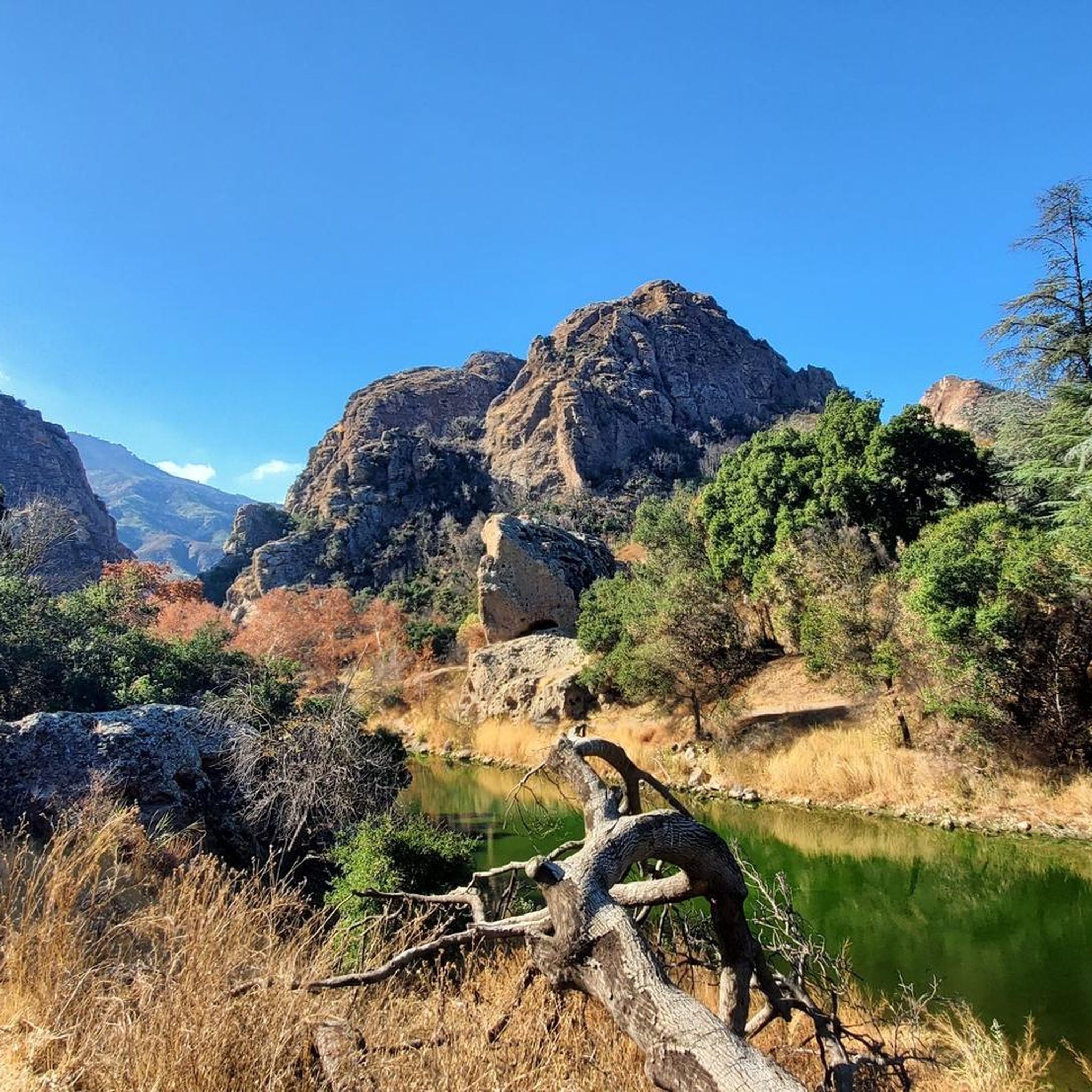
Jogging in the Santa Monica Mountains offers access to a vast network of trails within the nation's largest urban national park. The region is characterized by diverse ecosystems, including oak and sycamore forests, coastal sage, and chaparral, alongside rugged canyon walls and mountain vistas. Elevations range from sea level to over 3,000 feet, providing varied gradients for running. The mountains also feature 46 miles of scenic California coastline, allowing for routes with ocean breezes and Pacific views.
Best jogging routes…
Last updated: August 3, 2026
70
runners
23.0km
02:56
830m
830m
Embark on the Century lake and Mesa Peak loop from Calabasas for a challenging jogging experience through the Santa Monica Mountains National Recreation Area. This difficult route spans 14.3 miles…
37
runners
21.2km
02:15
170m
170m
The San Vicente and Ocean Avenue Loop offers a difficult jogging experience, stretching 13.2 miles (21.2 km) with an elevation gain of 553 feet (168 metres). You can expect to…

Sign up for free
33
runners
5.56km
00:48
250m
250m
The Temescal Canyon Loop Trail offers a moderate jogging experience, covering 3.5 miles (5.6 km) with an elevation gain of 805 feet (245 metres), typically completed in about 47 minutes.…
4.3
(3)
23
runners
10.1km
01:03
40m
40m
If you're looking for a consistent and scenic jogging route, the Westlake Lake 10k loop delivers. This moderate 6.3-mile (10.1 km) route, which takes about 1 hour and 2 minutes…
5.0
(1)
28
runners
Hard run. Very good fitness required. Mostly paved surfaces. Suitable for all skill levels.
29
runners
10.3km
01:13
170m
170m
Embark on the Crags Road and High Road Loop for a moderate jogging experience through Malibu Creek State Park. This route spans 6.4 miles (10.3 km) and involves a total…
26
runners
17.2km
02:18
670m
670m
The Ray Miller and Overlook Trail Loop in Point Mugu State Park delivers a challenging and visually rewarding jogging experience. This difficult 10.7-mile (17.2 km) route, with its 2203 feet…
15
runners
16.9km
02:14
790m
800m
Embark on the Zuma Ridge and Canyon Loop, a difficult jogging route spanning 10.5 miles (16.9 km) with a significant 2607 feet (794 metres) of elevation gain. This challenging journey,…
13
runners
4.80km
00:40
200m
200m
Moderate run. Good fitness required. Mostly paved surfaces. Suitable for all skill levels.
4.0
(1)
9
runners
3.95km
00:30
170m
170m
If you are looking for a quick yet rewarding jogging experience, the Corral Canyon Loop Trail offers spectacular ocean and mountain views, including panoramic vistas of the Malibu coastline. This…
Get access to more routes and recommendations from other explorers.
Sign up for free
Already have an account?
Our route recommendations are based on thousands of hikes, rides, and runs completed by other people on komoot.
Start today with a free account
Your next adventure awaits.
Login or Signup
Popular around Santa Monica Mountains

California Coastal Trail — Following the coastline from Mexico to Oregon

On the most beautiful route of California - The Pacific Coast Route
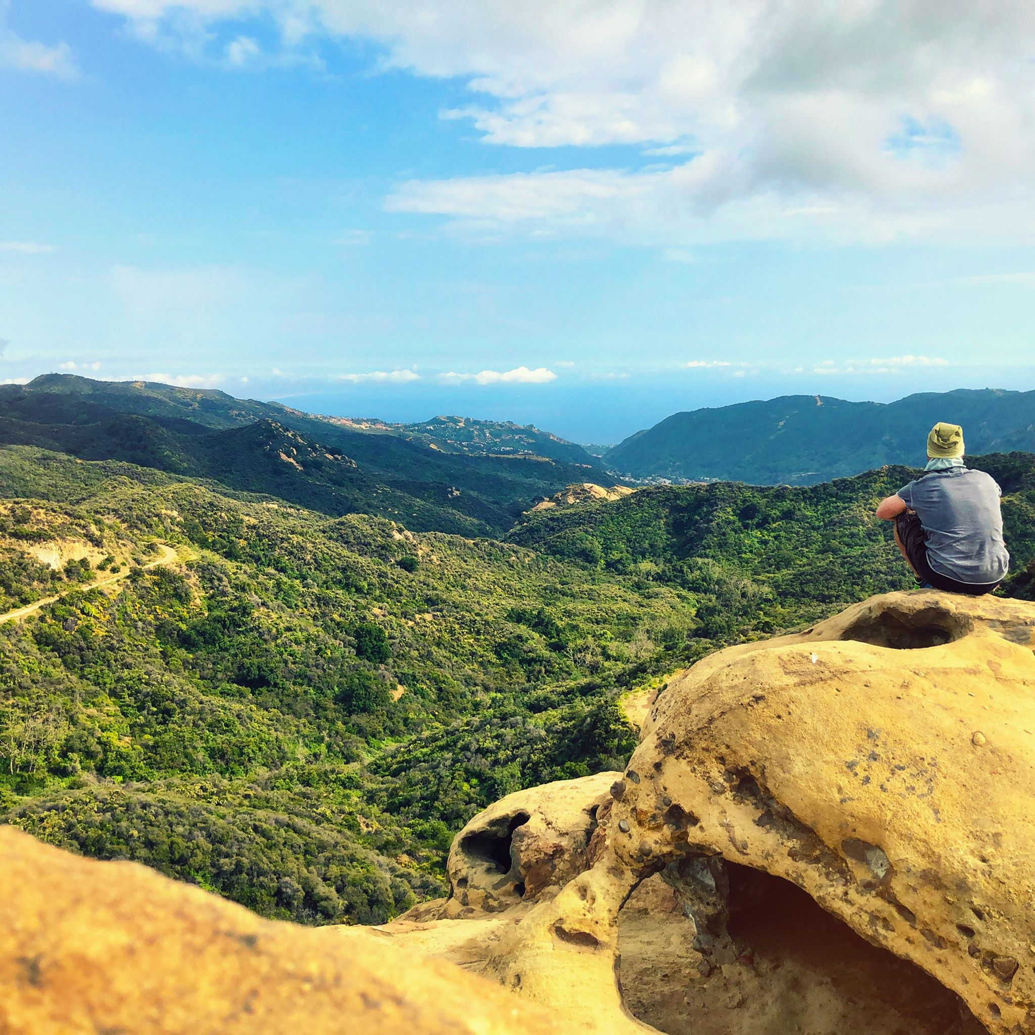
Hiking in the Santa Monica Mountains
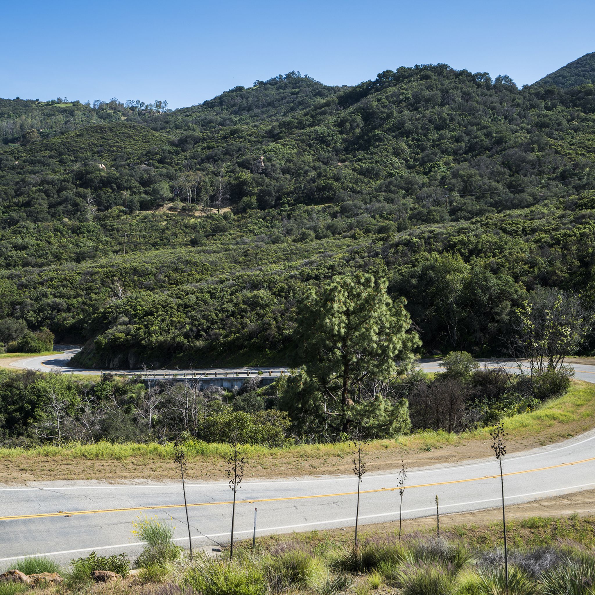
Road Cycling Routes in the Santa Monica Mountains
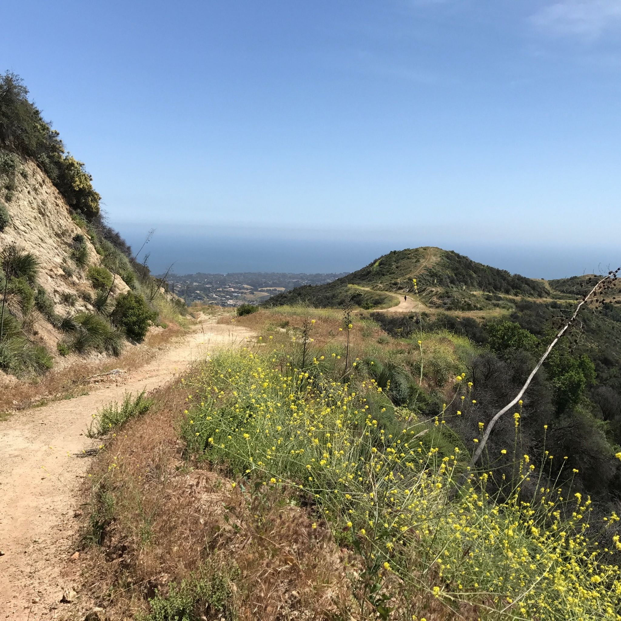
Cycling in the Santa Monica Mountains
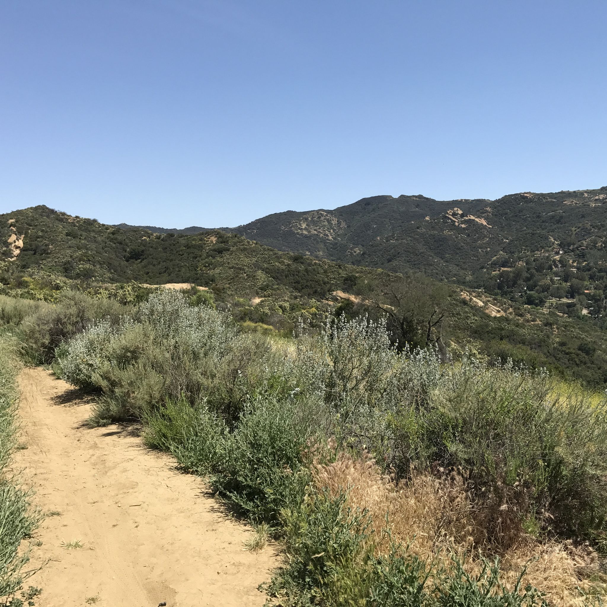
MTB Trails in the Santa Monica Mountains
Gravel biking in the Santa Monica Mountains


Tips from the Community

The Grasslands Trail is exactly what the name advertises: A nice, firm track through grassy meadows and a profusion of wildflowers in season. You won't find a lot of shade on this trail, but there are more trees — and a lot more shade — as you go farther into the park.
0
0

This beautiful 2.5-mile trail climbs through untouched wilderness to the Puerco Canyon through coastal sage scrub, native grasslands, and the riparian corridor of Corral Creek. Along the way, there are stunning ocean and mountain views. At 646m, a junction leads to the Puerco Canyon Motorway Connector Trail, which leads to the Cameron Nature Preserve at Puerco Canyon, offering several trails and scenic vistas if you want to extend your route.
0
0
This trailhead, adjacent to the Malibu Seafood Market, marks the beginning of a 2.5-mile loop trail that climbs to the Puerco Canyon. Parking is $12, or you can choose public transit. There is an MTA bus stop at the park entrance. Restrooms, a picnic table area, sitting benches and educational displays are here. During the spring and early summer, beautiful wildflowers cover the hillsides with fantastic ocean views. This trail is known to be very overgrown, so wearing long pants and sturdy footwear is ideal for a better experience. There is minimal shade along the way, so bringing a hat and plenty of water is recommended.
0
0
The views of the canyon, the Pacific Ocean and the city of Malibu below are majestic. There are many beautiful purple and yellow wildflowers in the spring. It is an excellent setting for panoramic photos of the stunning green mountains and ocean scenery.
0
0

We look at the Santa Monica Pier and the surrounding area. This is also the end of Route 66. The route is very famous and legendary. Again and again you come across individual sections or you are reminded that this highway existed.
4
1

If you're lucky, like us, you can also see at least one sea lion 🦭.
2
0

Near the top of the Scenic Trail, it's worth a short detour to a coastal Overlook with a bench and sweeping views above Sycamore Cove.
0
0

One of the best options to get up to Backbone Trail and Guadalasca Trail. Whenever you need a rest: Just turn around and enjoy the view on the ocean.
0
0
Frequently Asked Questions
How many running routes are available in the Santa Monica Mountains?
The Santa Monica Mountains offer a vast network of trails, with over 150 running routes available on komoot. These routes cater to various skill levels, including 9 easy, 74 moderate, and 67 difficult options, ensuring there's a path for every runner.
Are there any easy or beginner-friendly jogging trails in the Santa Monica Mountains?
Yes, the Santa Monica Mountains feature several easy and moderate trails perfect for beginners or those seeking a less strenuous run. A popular moderate option is the Temescal Canyon Loop Trail, which is about 3.5 miles long and offers scenic views. Another great choice is the Solstice Canyon Loop, a 3.0-mile path known for its shaded sections and waterfalls.
What kind of scenery can I expect while running in the Santa Monica Mountains?
Runners in the Santa Monica Mountains are treated to incredibly diverse scenery. You'll experience a Mediterranean-type ecosystem with oak and sycamore forests, coastal sage, and chaparral. Many routes offer stunning mountain vistas, rugged canyon walls, and expansive views of the Pacific Ocean, especially along the 46 miles of scenic coastline within the recreation area.
Are there any circular running routes in the Santa Monica Mountains?
Yes, many of the trails in the Santa Monica Mountains are designed as loops, providing varied scenery without retracing your steps. Examples include the Temescal Canyon Loop Trail and the Solstice Canyon Loop. For a longer, more challenging loop, consider the Zuma Ridge and Canyon Loop.
What are some notable landmarks or attractions I can see along the running trails?
The Santa Monica Mountains are rich with natural and historical attractions. Along your runs, you might encounter beautiful waterfalls like Temescal Canyon Falls or explore the historical ruins within Solstice Canyon. Other points of interest include the scenic Century Lake and the panoramic Parker Mesa Overlook. Many trails also offer views of the Pacific Ocean and access to beaches like Will Rogers State Beach.
Are there any running routes that offer views of waterfalls?
Absolutely! The Santa Monica Mountains feature trails where you can enjoy the sight of waterfalls. The Temescal Canyon Loop Trail is known for its scenic views and a waterfall. Similarly, the Solstice Canyon Loop also offers views of waterfalls amidst shaded paths and sycamore trees.
What do other runners say about the trails in the Santa Monica Mountains?
The running trails in the Santa Monica Mountains are highly regarded by the komoot community, boasting an average rating of 4.7 stars from over 25 reviews. Many runners praise the diverse ecosystems, the stunning coastal access, and the varied mountain vistas that make each run unique and rewarding. Over 2900 runners have used komoot to explore this region's terrain.
Are there any challenging running routes with significant elevation gain?
For runners seeking a challenge, the Santa Monica Mountains offer several difficult routes with substantial elevation gains. The Mishe Mokwa to Tri-Peaks and Sandstone Peak trail leads to the highest point in the range, offering a demanding climb and expansive views. Other difficult options include the Ray Miller and Overlook Trail Loop and the Mugu Peak and Chumash Trail Loop, both providing significant ascents.
Can I find trails that offer ocean views while running?
Yes, the Santa Monica Mountains are unique for their proximity to the Pacific Ocean, offering numerous running routes with spectacular coastal views. The mountains are adjacent to 46 miles of California coastline, allowing for runs with refreshing ocean breezes and panoramic vistas of the Pacific. Trails like the San Vicente and Ocean Avenue Loop provide excellent opportunities for coastal running.
What is the longest running route available in the Santa Monica Mountains?
One of the longer and more challenging routes available is the Century Lake and Mesa Peak Loop from Calabasas, which spans approximately 14.3 miles (23 km) and involves significant elevation changes. This route offers a comprehensive experience of the diverse terrain in the Santa Monica Mountains.
Are there any specific parks or areas within the Santa Monica Mountains that are particularly good for running?
Several parks and open spaces within the Santa Monica Mountains National Recreation Area are excellent for running. Topanga State Park, for instance, hosts the popular Temescal Canyon Trail. Solstice Canyon is another favorite, known for its shaded paths and waterfalls. Point Mugu State Park offers challenging trails with stunning ocean views, while Malibu Creek State Park is also a popular spot for outdoor activities including running.
Most popular routes in the Santa Monica Mountains
Most popular attractions in the Santa Monica Mountains

Get inspired with the komoot mobile app


Explore more
Browse the best Running Trails & Routes in other regions.
