Routes

Planner

Features

Updates

App

Login or Signup

Get the App

Login or Signup

Routes
Running Trails
United States
California
Riverside County

San Jacinto Mountains

The best running trails in the San Jacinto Mountains

4.8

(18)

706

runners

105

runs

If you've ever tried to plan jogging in the San Jacinto Mountains, you know the feeling: a dizzying number of routes, all promising great views, but how do you really know which ones are genuinely worth your time and effort? It's tough to sift through the options and find those standout trails that deliver on the promise without wasting precious hours on a mediocre run. That's where we come in. Our komoot community has explored, mapped, and reviewed hundreds of routes here, giving us the inside scoop on what's truly special. Consider this your curated shortcut to the best jogging in the San Jacinto Mountains, saving you the guesswork and pointing you straight to the good stuff.

Jogging in the San Jacinto Mountains is a unique experience, defined by its dramatic transition from arid desert scrub at lower elevations to cool, sub-alpine forests higher up. This means you can find everything from gentle, scenic loops to demanding mountain ascents with significant elevation changes. The landscape shifts constantly, offering diverse backdrops for your run, from desert flora to pine-scented trails.

If you're looking for a scenic, relatively easy start, we'd point you towards the Desert Springs loop via Desert Springs Golf Club, a moderate 4.2 miles (6.8 km) route that offers a pleasant run around the golf club area. For those ready to push their limits and earn some truly spectacular views, the San Jacinto Peak via Round Valley Trail is a challenging 10.0 miles (16.0 km) journey through sub-alpine forests towards the peak, offering a massive payoff. With more than 500 runners having explored these mountains with komoot, you're in good company. Get out there and discover your next favorite route!

Last updated: May 10, 2026

52

runners

#1.

Desert Springs loop via Desert Springs Golf Club

6.82km

00:42

20m

20m

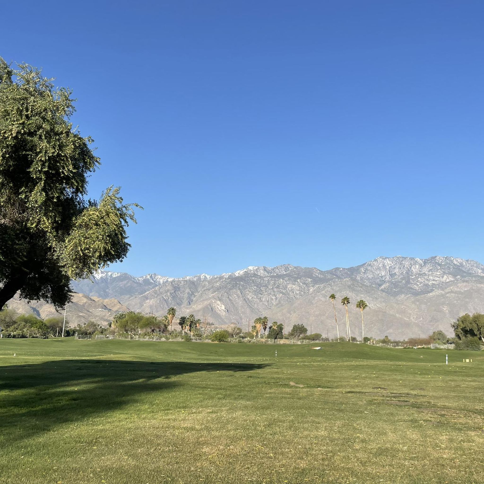
The Desert Springs loop via Desert Springs Golf Club offers a surprisingly scenic jogging experience, winding through the lush, manicured grounds of a luxury resort. You'll pass by sparkling lakes, waterfalls, and mature palm trees, with the majestic Santa Rosa Mountains providing a stunning backdrop. Keep an eye out for the vibrant pink flamingos that occasionally grace the water features, adding a unique touch to your run.

This moderate 4.2-mile (6.8 km) route features a gentle 76 feet (23 metres) of elevation gain, making it a pleasant 42-minute jog for most. While the terrain is mostly paved and accessible, it does have undulating sections that provide a good workout. Access might be restricted for non-guests or non-members, so it's best to confirm before you go, and remember to bring water, especially during warmer parts of the day.

What truly sets this route apart from other Desert Springs loop jogging routes is its distinctive setting within a Ted Robinson-designed golf course, known for its "waterscapes." This gives the trail a luxurious feel, offering a different kind of outdoor activity compared to more rugged desert trails. It's a great option if you're looking for a well-maintained, visually appealing run in the Palm Desert area.

Navigate with device

Send to Phone

Save

Moderate

21

runners

The San Jacinto Peak via Round Valley Trail offers an unforgettable jogging experience, taking you through diverse terrain from lush pine forests and meadows to exposed alpine environments. You'll start with a gentle climb towards Round Valley, then tackle the steep ascent to Wellman Divide, before reaching the 10,834-foot San Jacinto Peak summit. From the top, prepare for truly spectacular 360-degree panoramic views that stretch across the Pacific Ocean, the Los Angeles Basin, and even parts of Mexico and Arizona on a clear day.

This difficult 10.0-mile (16.0 km) route, with its 2407 feet (734 metres) of elevation gain, is typically completed in about 2 hours and 21 minutes, making it a serious workout for experienced joggers. Access is primarily via the Palm Springs Aerial Tramway, which quickly transports you from the desert floor to an alpine setting. Remember that free day-use wilderness permits are required from the Long Valley Ranger Station, and you should be prepared for high altitude conditions and potentially much colder weather at the summit.

What makes this one of the popular jogging routes in San Jacinto State Park is its dramatic elevation change and the unique "Island in the Sky" experience, rapidly ascending from desert to alpine. The region is a lofty haven of forests and meadows, offering a stark contrast to the desert below. Just be mindful of the Mount San Jacinto State Park permits required and the potential for heavy snow and harsh conditions during winter months.

Hard
guide_signup
Let us show you the way with the komoot mobile app
With a free komoot account, you can easily find, customize, and navigate endless outdoor adventures.

Sign up for free

17

runners

11.4km

01:27

350m

350m

The South Lykken Trail Loop offers a truly immersive desert jogging experience, winding through rugged terrain that showcases the Sonoran Desert's unique beauty. You'll navigate rocky paths and switchbacks, with the landscape gradually unfolding to reveal breathtaking panoramic views of Palm Springs and the surrounding mountain ranges. Keep an eye out for the vibrant purple and yellow wildflowers that can blanket the cliffs during the wet season, adding a splash of color to the arid scenery.

Planning your jog on this difficult 7.1 miles (11.4 km) loop, which involves 1156 feet (352 metres) of elevation gain and takes about 1 hours and 27 minutes, requires a strategic approach. Due to the complete lack of shade, it's best to hit the trail in the early morning or late afternoon, especially between October and May, to avoid the scorching midday sun. Remember that dogs are not allowed on this route.

Beyond the stunning vistas from spots like Josie Johnson Vista Park, the trail is a prime location for wildlife spotting; bighorn sheep are known to frequent the area. The presence of barrel cactus, creosote bush, brittlebush, and ocotillo provides a classic example of desert vegetation. Picnic tables at various viewpoints offer convenient spots to rest and appreciate the expansive desert landscape.

Hard

13

runners

If you're seeking a truly rewarding challenge, the Suicide Rock via Deer Springs Trail delivers a difficult 6.7-mile (10.8 km) jogging experience, climbing 1850 feet (564 metres) in roughly 1 hour and 33 minutes. The route begins among oak trees, quickly transitioning to diverse pine forests and massive Manzanita bushes as you ascend. You'll navigate varied terrain, from dirt paths to rocky sections and even soft pine needle cushioned single track, all leading to the spectacular panoramic views from Suicide Rock itself.

Planning your visit requires a bit of foresight; you'll need to secure a free wilderness permit from a ranger station before you start. Be aware that dogs are not permitted on this trail, as it crosses into Mount San Jacinto State Park Wilderness. Given the strenuous nature and significant elevation gain, ensure you're well-prepared with water and appropriate gear, especially if you're tackling this popular trail in the Idyllwild area.

Beyond the physical challenge and stunning vistas, Suicide Rock holds a rich history, tied to a Cahuilla Native American legend about two lovers. The area is also a hotspot for rock climbing and offers excellent opportunities for wildlife and bird viewing within the San Bernardino National Forest. It's a fantastic option for experienced joggers looking for a trail with both natural beauty and cultural significance.

Hard

Hard run. Very good fitness required. Mostly paved surfaces. Suitable for all skill levels.

Hard

12

runners

The Ernie Maxwell Scenic Trail offers a dynamic jogging experience through diverse forest types, from oak and pine to manzanita, providing a shaded escape. As you navigate the singletrack dirt path, which can be narrow and rocky in places, you'll be treated to stunning vistas of the San Jacinto Mountains, including iconic formations like Tahquitz Peak and Suicide Rock. This route is a rewarding challenge for those who appreciate mountain scenery and varied terrain.

To access the trail, head to Humber Park, which serves as the main trailhead and parking area. While the trail is generally accessible year-round, spring and early summer are ideal for spotting wildflowers, and fall offers beautiful foliage. Be aware that winter conditions may bring snow, and always plan to carry sufficient water for this demanding route.

Beyond its natural beauty, the Ernie Maxwell Scenic Trail holds historical significance, named after Ernie Maxwell, an advocate for the outdoors and founder of the Idyllwild Town Crier. It's a popular choice not just for jogging, but also for hiking and horseback riding, known for its well-maintained conditions and dog-friendly policy, making it a beloved local gem.

Hard

9

runners

The Tahquitz Canyon Loop Trail offers a dynamic desert experience, winding through a dramatic landscape of towering canyon walls and unique desert flora. You'll navigate rocky singletrack and natural stone steps, with the seasonal 60-foot Tahquitz Falls serving as a stunning centerpiece, particularly vibrant between October and May. Keep an eye out for desert wildflowers and native wildlife as you explore this culturally significant area.

Planning your visit requires a $15 admission fee, and due to the desert environment, carrying at least 32oz of water is essential. Sturdy footwear is a must for the uneven terrain, and remember that dogs are not permitted on the trail. The canyon's hours vary seasonally, so confirm opening days and times before you go, especially if visiting between July and September.

Situated within the Agua Caliente Indian Reservation, this trail is more than just a scenic jog; it's a journey through a site rich in cultural history, with ancient rock art and remnants of an irrigation system. The canyon provides a lush oasis contrasting sharply with the arid surroundings, offering a distinct perspective on the natural beauty just beyond Palm Springs.

Moderate

7

runners

6.23km

00:45

200m

200m

The Murray Canyon Trail offers a striking journey from open desert to a vibrant palm oasis, culminating at the beautiful Seven Sisters Waterfall. You'll traverse sandy washes, navigate rocky sections, and cross Murray Creek multiple times, experiencing a dramatic shift in scenery and terrain. Keep an eye out for diverse rock formations and lush plant life as you make your way through this unique desert landscape.

This moderate 3.9-mile (6.2 km) jogging route involves 641 feet (195 metres) of elevation gain and takes approximately 44 minutes to complete. While generally accessible, the rockier sections and stream crossings, especially near the waterfall, require good footing and can be challenging. It's a rewarding trail for those who enjoy varied terrain and don't mind getting their feet wet.

Part of the historic Indian Canyons, this trail showcases a rare desert ecosystem where Murray Creek sustains a flourishing palm oasis. The unexpected verdant canyon within the arid desert makes it a memorable experience, offering a stark contrast between full sun and shaded palms. You might even spot wildlife like mule deer or the endangered Peninsular bighorn sheep.

Moderate

Hard run. Very good fitness required. Mostly paved surfaces. Suitable for all skill levels.

Hard

If you're looking for a unique jogging experience in Palm Desert, the Desert Springs Golf Club loop offers a refreshing escape. This moderate 6.0-mile (9.6 km) route, with a gentle 128 feet (39 metres) of elevation gain, takes you through a lush, manicured golf course environment, a stark contrast to the surrounding desert landscape. Expect to spend about 59 minutes enjoying the abundant palm trees, streams, and even cascading waterfalls, all set against the dramatic backdrop of the Santa Rosa and San Jacinto Mountains. It's a surprisingly tranquil run, especially when you spot the pink flamingos near Flamingo Island.

Accessible directly from the Cal State University, Palm Desert Campus, this route is a convenient option for a morning or late afternoon run. Parking is generally available at the campus, making it easy to start your journey. To truly enjoy the scenery and avoid the intense desert heat, plan your visit between late fall and spring, ideally from October to April. This ensures a comfortable jogging experience without the need for excessive hydration planning beyond your usual.

What makes this route stand out among Palm Desert jogging options is its unusual setting: a resort golf club that welcomes non-guests for a run. It's not just a path; it's a visually appealing oasis with manicured greens and water features, offering a different kind of outdoor activity. This loop provides a distinctive tropical oasis feel, making it a memorable alternative to more traditional desert trails.

Moderate
Sign up for free to see 96 more runs in the San Jacinto Mountains.

Get access to more routes and recommendations from other explorers.

Sign up for free

Already have an account?

Our route recommendations are based on thousands of hikes, rides, and runs completed by other people on komoot.

Start today with a free account

Your next adventure awaits.

Login or Signup

Popular around San Jacinto Mountains

Pacific Crest Trail from Mexico to Canada – 4,200 kilometres of wilderness

The tour of your life – music trails on the Pacific coast
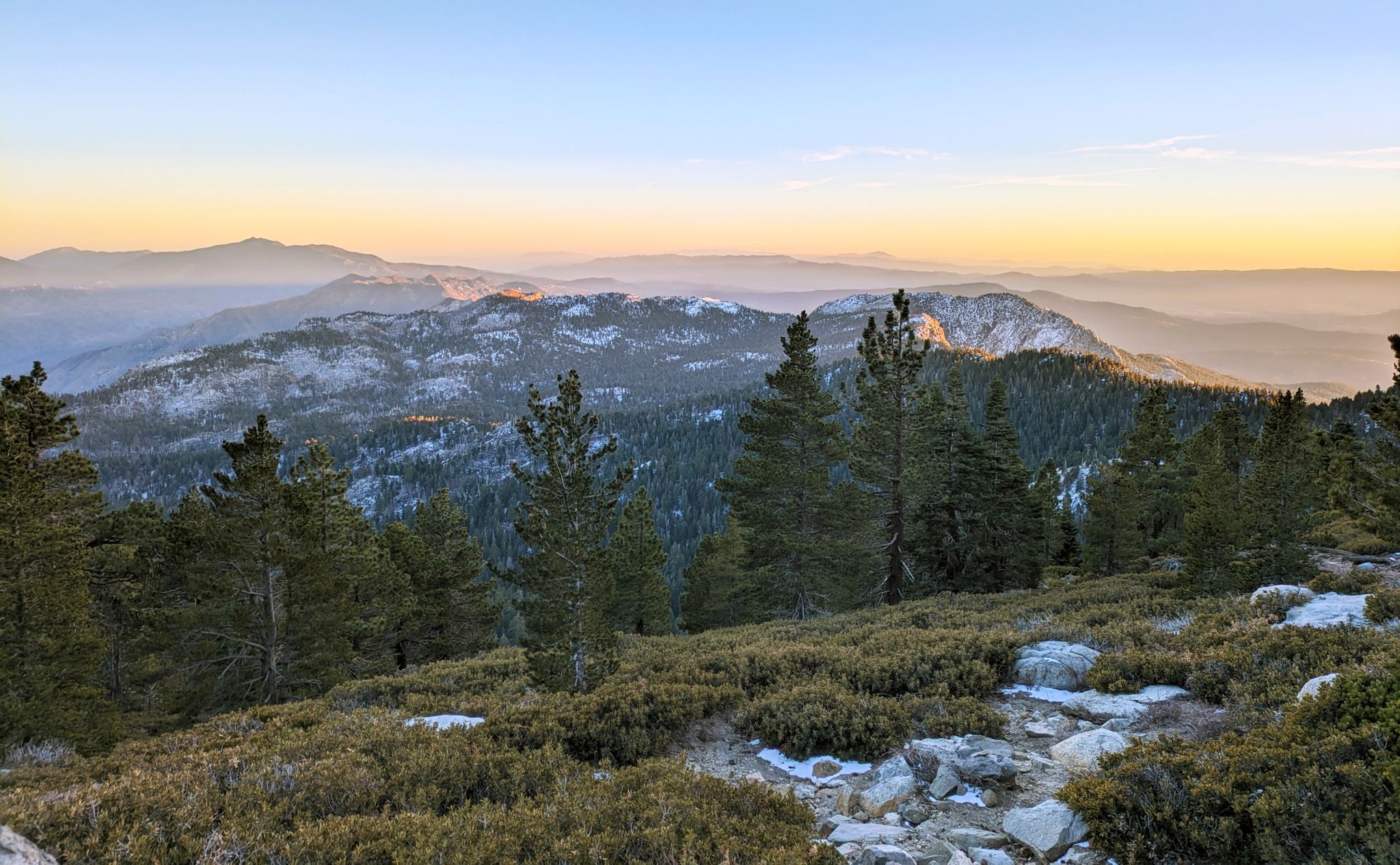
Climbing Mount San Jacinto on the Deer Springs Trail
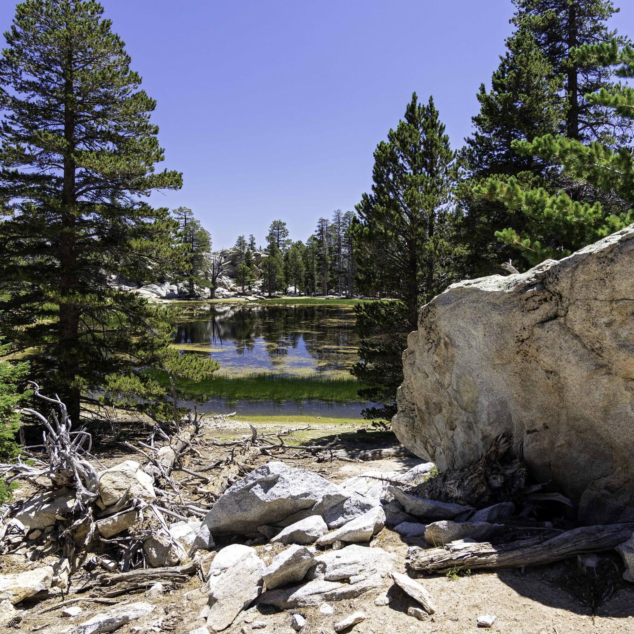
Hiking in the San Jacinto Mountains
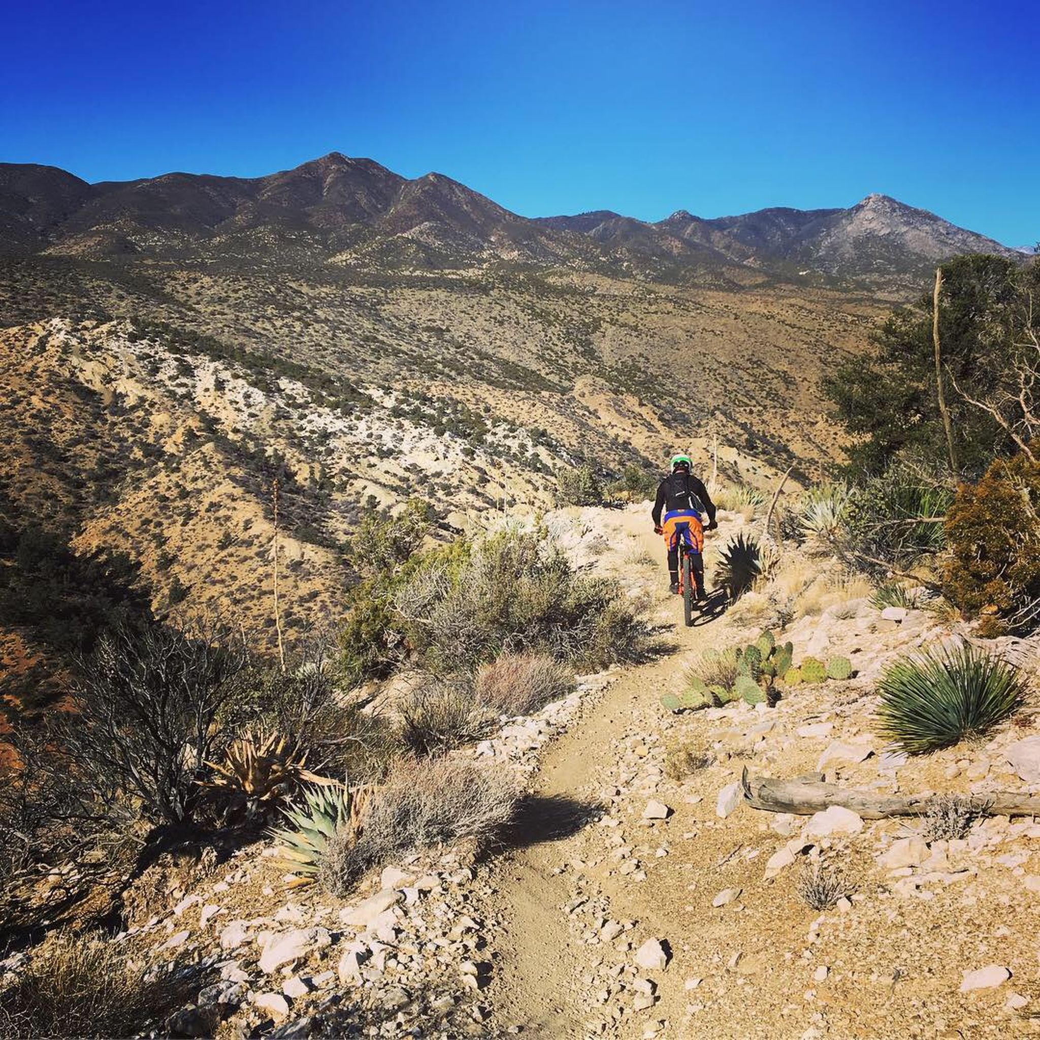
MTB Trails in the San Jacinto Mountains
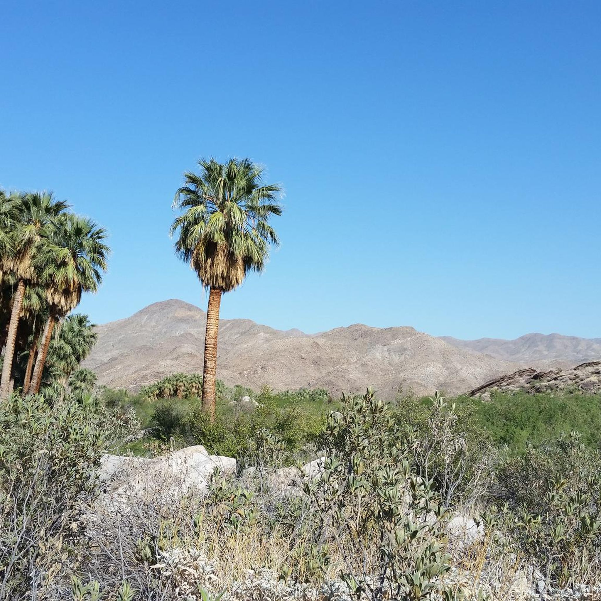
Cycling in the San Jacinto Mountains
Road Cycling Routes in the San Jacinto Mountains

Other adventures in the San Jacinto Mountains

Pacific Crest Trail from Mexico to Canada – 4,200 kilometres of wilderness

Hiking Collection by

Caro "Bandit"

Tips from the Community

Andrus
June 22, 2025, Josie Johnson Vista Park

Located along the South Lykken Trail, Josie Johnson Vista Park has wonderful views across Palm Springs, Santa Rosa, and the San Jacinto Mountains. Take a moment to catch your breath here and admire the desert scenery around you.

0

0

Working your way uphill to this viewpoint is well worth the effort. Once you arrive take a few minutes to let your legs recover while enjoying the view across the valley and surrounding mountains. With a bit of luck you might even see some bighorn sheep along the hillside.

0

0

robam
July 7, 2024, Suicide Rock

Great hike in beautiful scenery!

Translated by Google

0

0

Murray Canyon Trail enchants with a series of petite waterfalls flowing within its hidden recesses.

0

0

oliviakellis
December 26, 2023, Tahquitz Falls

Tahquitz Falls, nestled in Southern California's San Jacinto Mountains, captivates with its 60-foot cascade, lush surroundings, and a serene ambiance, offering a refreshing oasis and scenic beauty.

0

0

The Ernie Maxwell Trail winds through the San Jacinto Mountains in Idyllwild. Spanning 5.5 miles, it showcases lush forests, mountain views, and serene meadows, offering a peaceful and invigorating experience for runners.

0

0

The Deer Springs Trail is a popular hiking trail in the Mount San Jacinto State Park, California. It offers stunning views of the surrounding mountains and valley while leading through diverse landscapes, including pine forests, meadows, and rocky terrain.

0

0

Located in the Marriott's Desert Springs Resort, the Desert Springs Golf Club is the pleasant sight of lush green land & a well maintained atmosphere, perfect for a run. If you're not staying at the resort or a member of the golf club, it's only possible to wander the boundaries, which are still lovely surroundings.

0

0

Frequently Asked Questions

How many running routes are available in the San Jacinto Mountains?

The San Jacinto Mountains offer a wide variety of running experiences, with over 80 routes available. These range from easy, flat loops to challenging mountain ascents, catering to all fitness levels.

Are there easy running routes for beginners in the San Jacinto Mountains?

Yes, the region offers several accessible options. There are 7 easy routes and 56 moderate routes. A good starting point for a scenic, moderate run is the Desert Springs loop via Desert Springs Golf Club, which is 4.2 miles long and relatively flat.

What are some challenging running trails for experienced runners?

For those seeking a challenge, the San Jacinto Mountains provide 22 difficult routes with significant elevation gain. Consider the San Jacinto Peak via Round Valley Trail, a 10-mile route leading to the peak, or the South Lykken Trail Loop, a difficult 7.1-mile path with panoramic views.

What kind of natural features can I expect to see along the running routes?

The San Jacinto Mountains boast diverse landscapes. You'll encounter everything from desert scrub and California fan palms in lower canyons to pinyon-juniper, oak woodlands, and mixed conifer forests at higher altitudes. Notable natural attractions include Palm Canyon and Andreas Canyon Oasis, known for their unique palm groves, and the majestic San Jacinto Peak.

Do I need a permit to run in the San Jacinto Mountains?

Yes, permits are required for wilderness entry in much of the high country, particularly within the Mount San Jacinto State Park and Wilderness. It's advisable to check with local authorities or the California State Parks website for specific permit requirements before your run.

What is the best time of year for running in the San Jacinto Mountains?

The higher elevations offer a welcome escape from the desert heat, with temperatures often 30 to 40 degrees cooler than the valley floor. This makes spring, summer, and fall ideal for running at altitude. During winter, the mountains transform into a snowy wonderland, offering opportunities for snowshoeing, but traditional running may be limited to lower elevations.

Are there any loop running trails in the San Jacinto Mountains?

Yes, many routes are designed as loops, offering varied scenery without retracing your steps. The Desert Springs loop via Desert Springs Golf Club is a popular moderate loop. For a more challenging option, consider the Murray Hill Loop – San Bernardino National Forest.

What do other runners enjoy most about jogging in the San Jacinto Mountains?

The area is highly rated by the komoot community, with an average score of 4.9 stars from over 10 reviews. Runners frequently praise the dramatic elevation changes, the diverse flora from desert to sub-alpine environments, and the extensive trail network that offers options for all ability levels.

Are there any trails suitable for families with children?

While many trails involve significant elevation, some are more moderate and can be enjoyed by families. The Tahquitz Canyon Loop Trail is a shorter, moderate option that offers a glimpse of the unique desert environment and cultural history.

Where can I find parking for the running trails?

Many trailheads, particularly those around Idyllwild and Palm Springs, offer designated parking areas. For trails accessed via the Palm Springs Aerial Tramway, parking is available at the tramway's valley station. Always check specific trailhead information for parking availability and any potential fees.

Can I bring my dog on the running trails?

Dog policies vary by specific trail and park regulations within the San Jacinto Mountains. While some trails in the San Bernardino National Forest may allow dogs on leash, areas like Mount San Jacinto State Park often have restrictions. It's best to verify the rules for your chosen trail beforehand.

Are there any points of interest or viewpoints along the routes?

Absolutely! The San Jacinto Mountains are rich with stunning viewpoints. Tahquitz Peak is known for its seasonal fire lookout and expansive views, while Suicide Rock via Deer Springs Trail offers 360-degree vistas. The higher elevations, accessible via trails like San Jacinto Peak via Round Valley Trail, provide panoramic views of the Coachella Valley and beyond.

Most popular routes in the San Jacinto Mountains

Hiking in the San Jacinto Mountains

Most popular attractions in the San Jacinto Mountains

Places to see

Store rating

Get inspired with the komoot mobile app

With a free komoot account, you can easily find, customize, and navigate endless outdoor adventures.

or

Join komoot Now

Store rating

Explore more

Browse the best Running Trails & Routes in other regions.

Santa Rosa And San Jacinto National MonumentSan Mateo Canyon WildernessJoshua Tree National ParkJoshua Tree WildernessTemescal ValleyRiversidePalm SpringsPalm DesertJurupa ValleySycamore Canyon Wilderness ParkCoronaThousand PalmsIdyllwild-Pine CoveCoronitaDesert PalmsHighgroveMoreno ValleyNorcoIndio HillsFrench ValleyLake ElsinoreEastvaleMarch ArbDesert Hot SpringsMountain CenterSouth Fork San Jacinto WildernessCathedral CityEl SobranteMurrietaHome GardensAgua Tibia WildernessVista Santa RosaSky ValleySageLakeland VillagePerrisIndioGarnetMead ValleyWildomarTemeculaLa QuintaCalimesaMenifeeWoodcrestLake MathewsEl CerritoRancho MirageCoachellaBermuda Dunes

Nearby adventure guides

Things to Do in San Jacinto Wilderness

background

Get ready to conquer new peaks

Sign up for Free

Explore
RoutesRoute plannerFeaturesRedeem a voucherHikesMTB TrailsRoad cycling routesBikepackingSitemap
Download the app
Follow Us on Socials

© komoot GmbH

Privacy Policy

