The best walks and hikes around Murat-Sur-Vèbre
4.6
(689)
4,015
hikers
166
hikes
Hiking around Murat-Sur-Vèbre offers diverse landscapes within the Haut-Languedoc Regional Natural Park. The region is characterized by the Lacaunais plateaus, part of the Monts de Lacaune, and is drained by rivers such as the Dourdou de Camarès and the Vèbre. Ecological importance is recognized through several ZNIEFFs, highlighting areas of significant natural heritage.
Best hiking trails around Murat-Sur-Vèbre
- The most popular hiking route is From Laouzas to Montalet Trail, a 11.4 miles (18.3 km) trail that takes 5 hours 29 minutes to complete. This difficult route traverses varied terrain, including parts of the Lacaunais plateaus.
- Another top favourite among local hikers is The Summit of Merdelou by St Méen – loop – Regional natural park of Grands Causses, a moderate 5.8 miles (9.3 km) path. This loop offers views of the surrounding plateaus and natural park.
- Local hikers also love the Plo de Canac Trail, a 6.8 miles (11.0 km) trail leading through ecologically significant areas, often completed in about 3 hours 29 minutes.
- Hiking around Murat-Sur-Vèbre is defined by rolling plateaus, river valleys, and ecologically protected zones. The network offers options for easy walks, moderate excursions, and more challenging routes.
- The routes in Murat-Sur-Vèbre are highly rated by the komoot community with an average score of 4.6 stars from more than 500 reviews. More than 3000 hikers have used komoot to explore Murat-Sur-Vèbre's varied terrain.
Last updated: September 27, 2026
4.3
(8)
46
hikers
18.3km
05:29
560m
560m
This difficult 11.4-mile hiking loop from Rieu Montagné to Montalet Peak offers challenging terrain and views within Haut-Languedoc Regional
5.0
(1)
13
hikers
11.0km
03:29
430m
430m
Hike the moderate Plo de Canac Trail, a 6.8-mile route with 1407 feet of elevation gain, featuring varied terrain and ancient statue-menhirs

2.0
(1)
12
hikers
Moderate hike. Good fitness required. Easily-accessible paths. Suitable for all skill levels.
4.3
(13)
51
hikers
Easy hike. Great for any fitness level. Easily-accessible paths. Suitable for all skill levels.
4.8
(9)
42
hikers
11.2km
03:12
260m
260m
Moderate hike. Good fitness required. Easily-accessible paths. Suitable for all skill levels.
Get access to more routes and recommendations from other explorers.
Already have an account?
Our route recommendations are based on thousands of hikes, rides, and runs completed by other people on komoot.
Start today with a free account
Your next adventure awaits.
Tips from the Community

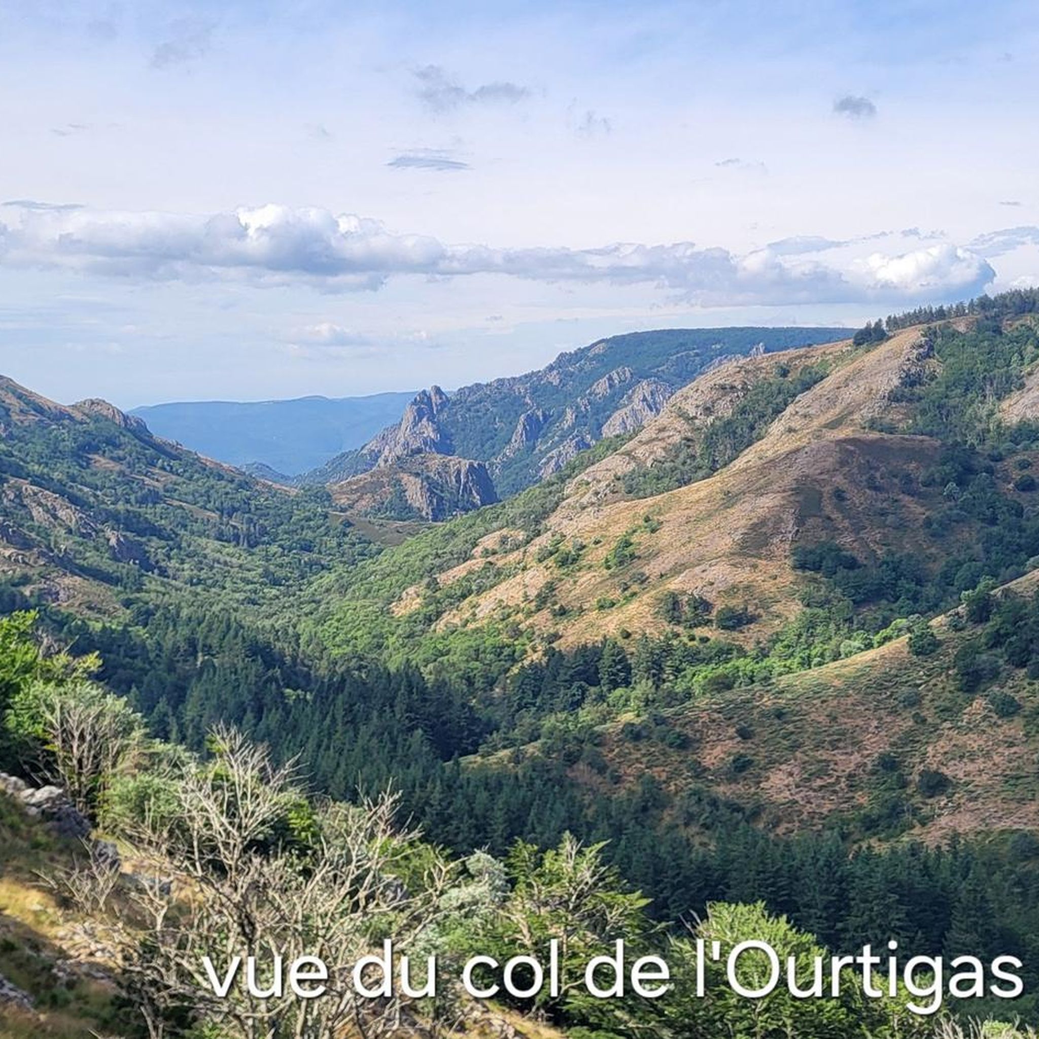
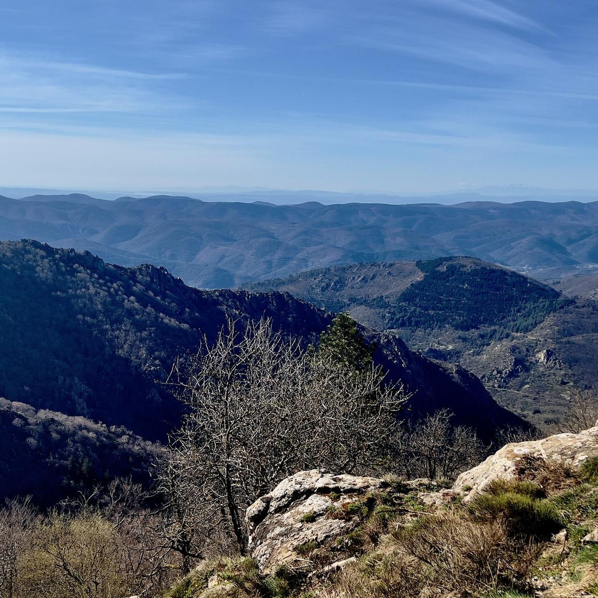
Le Merdelou, at around 1,100 m, is one of the highest points in the south of Aveyron. Its summit opens up long perspectives over the Monts d’Orb, the Espinouse and the Caroux, but also over the Somail and the Monts de Lacaune. On a clear day, the view can extend much further, all the way to the Pyrenees and, to the southeast, to the Mediterranean. This high and open position makes Le Merdelou a true observation post for the reliefs of the southern Massif Central. But the interest of the place is not limited to the view. Le Merdelou belongs to an ancient massif whose subsoil notably combines schists, sandstones, limestones and rocks of volcanic origin, testifying to the long geological history of the Monts de Lacaune. These reliefs give rise to a network of springs and streams that feed, among others, the Rance and the Dourdou. Nearby, Saint-Méen is known for its spring associated with an ancient tradition: according to legend, Saint Méen made it spring forth in the 6th century to heal the sick. On the ridges, wind turbines finally remind us how exposed Le Merdelou is to the winds.
2
0

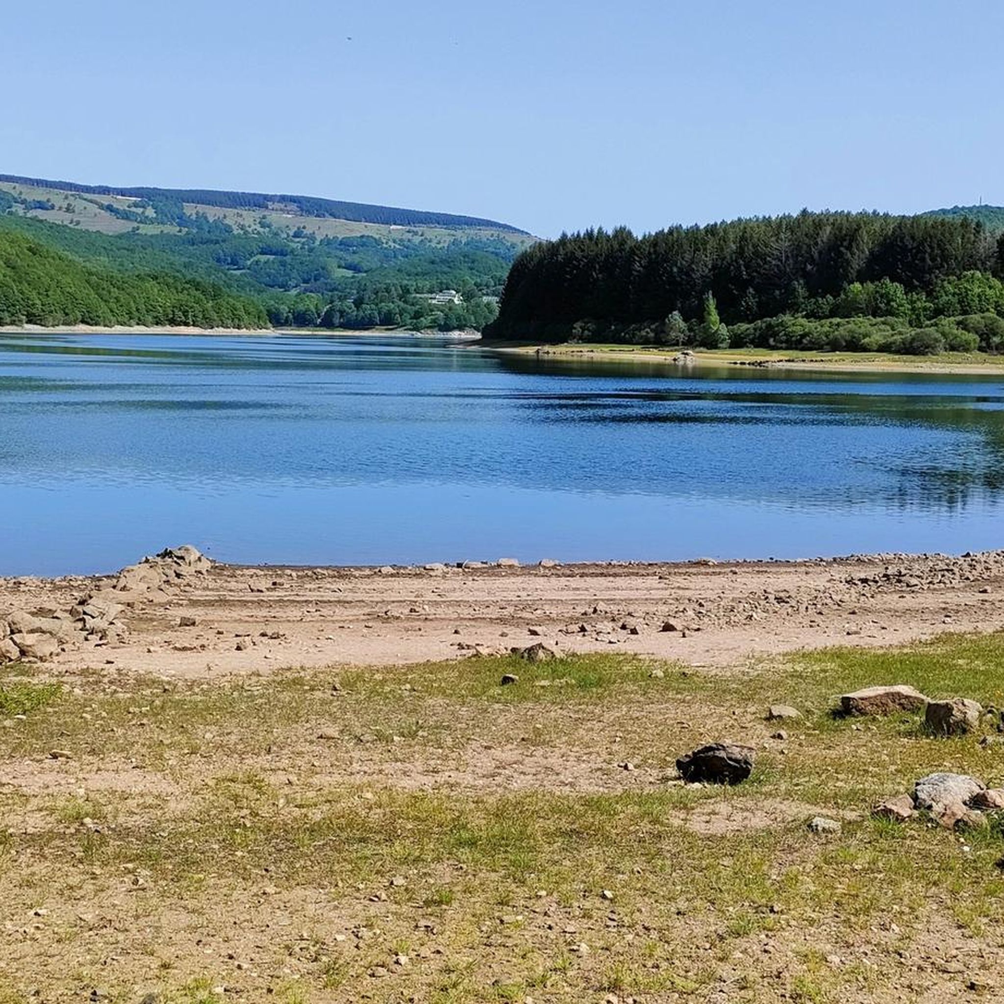
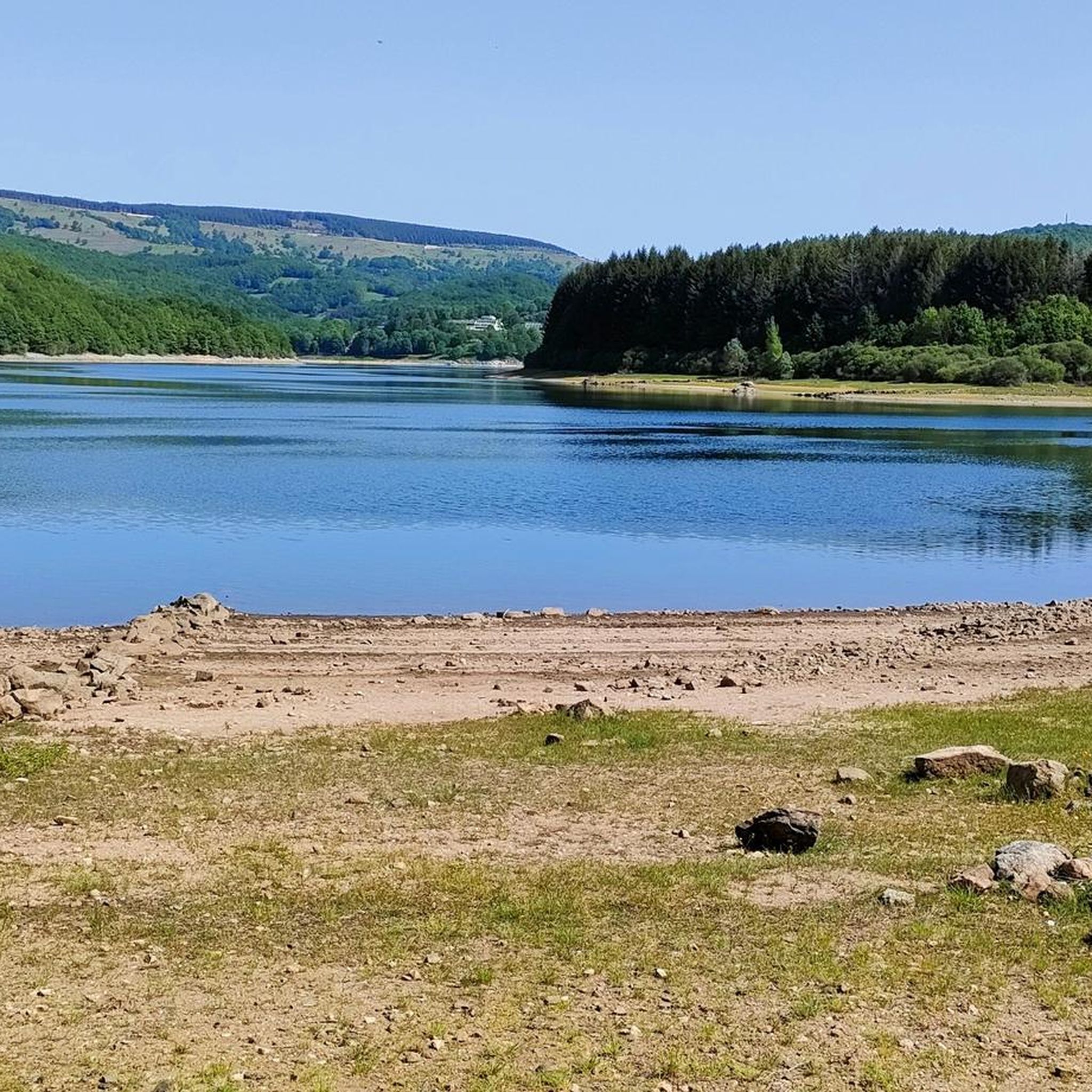
The lake is located at an altitude of 790 m, in the Lacaune mountains in the Occitanie region. It is fed by the Vèbre river, which is a tributary of the Agout, as well as its right bank tributaries, including the Viau, and the streams of Rieufrech, Ramières and Pradas. Different villages border the lake: Rieumontagné, Villelongue, Naujac and Peyroux.
0
0

A menhir in front of the small museum. Open Mon, Tue, Wed, and Fri-Sat in July and August from 3:00 PM to 7:00 PM.
0
0


Located at an altitude of 800 meters in the heart of the Lacaune mountains, this pretty little lake is in the center of a wooded environment. For hiking enthusiasts, a 21-kilometer trail goes all the way around it in a Canadian atmosphere.
0
0


Remains of the Château de Canac at the top of the Plo, dominating the hamlet and dating from the 16th century.
0
0
Frequently Asked Questions
What types of hiking trails can I find around Murat-Sur-Vèbre?
Murat-Sur-Vèbre offers a diverse range of hiking trails, from easy walks to more challenging routes. You'll find paths traversing the rolling Lacaunais plateaus, following river valleys like the Dourdou de Camarès and Vèbre, and leading through ecologically protected zones within the Haut-Languedoc Regional Natural Park. There are over 160 routes in total, with 37 easy, 86 moderate, and 37 difficult options.
Are there any family-friendly hiking options in the area?
Yes, Murat-Sur-Vèbre has several family-friendly trails. For an easy walk with historical interest, consider the Tredos Menhir – Above Lake Laouzas loop, which is about 5.7 km long. This area also features circuits exploring statue-menhirs and dolmens, offering an engaging way to discover the region's prehistoric past.
Can I bring my dog on the hiking trails around Murat-Sur-Vèbre?
Many trails in the Murat-Sur-Vèbre area are suitable for dogs, but it's always recommended to keep them on a leash, especially in areas with livestock or protected wildlife. The region is part of the Haut-Languedoc Regional Natural Park, so respecting local regulations regarding pets is important to protect the natural environment and other hikers.
Are there any circular hiking routes available?
Yes, circular routes are a popular option. A notable moderate loop is The Summit of Merdelou by St Méen – loop, which is about 9.3 km long and offers views of the surrounding plateaus. Another option is the Lime kiln near Nages loop, a moderate 11.2 km trail.
What natural attractions, like waterfalls or natural pools, can I find on hikes?
The region is rich in natural water features. You can explore the Gouffre du Cerisier Natural Pool and Waterfall, which offers a splendid setting for swimming on sunny days. The Gorges d'Héric, a short distance away, also feature numerous spots for swimming along the river, including the Natural Pools of the Gorges d'Héric.
Are there any historical sites or landmarks to see while hiking?
Yes, the area offers historical points of interest. You can find ancient sites like statue-menhirs and dolmens, which are accessible via walking paths. The remains of the feudal castle of Canac also provide a historical landmark that can be explored on a family walking circuit. Additionally, the Slate-Clad Houses of La Salvetat-sur-Agout offer a glimpse into traditional architecture.
What do other hikers enjoy most about hiking in Murat-Sur-Vèbre?
The hiking experience in Murat-Sur-Vèbre is highly rated by the komoot community, with an average score of 4.6 stars from over 500 reviews. Hikers often praise the varied terrain, from rolling plateaus to river valleys, and the sense of natural tranquility within the Haut-Languedoc Regional Natural Park. The well-maintained trails and diverse options for all skill levels are also frequently highlighted.
Are there any challenging long-distance hikes in the area?
For those seeking a challenge, the region offers more demanding routes. The From Laouzas to Montalet Trail is a difficult 18.3 km route with significant elevation changes, taking approximately 5 hours and 29 minutes to complete. A varied section of the GR7 long-distance hiking trail also runs along the Orb valley between the Gorges d'Héric and the Gorges de Colombières.
Where can I find scenic viewpoints during my hike?
The region offers several scenic viewpoints, particularly in the higher elevations. The nearby Massif des Mont Caroux provides magnificent distant views, and you can find an Orientation table at Mont Caroux, offering panoramic vistas of the surrounding landscapes.
What is the best time of year to go hiking in Murat-Sur-Vèbre?
The best time to hike in Murat-Sur-Vèbre is generally during spring, summer, and early autumn. These seasons offer pleasant weather conditions for exploring the diverse landscapes. Summer is ideal for enjoying natural swimming spots like the Gouffre du Cerisier, while spring and autumn provide cooler temperatures and vibrant foliage.
Is public transport available to access hiking trails, or is parking necessary?
While specific public transport links directly to trailheads can be limited in this rural area, having a car is generally recommended for convenient access to the various hiking routes around Murat-Sur-Vèbre. Many trailheads offer designated parking areas, especially for popular routes and attractions.
Most popular routes around Murat-Sur-Vèbre
Most popular attractions around Murat-Sur-Vèbre

Get inspired with the komoot mobile app


Explore more
Browse the best Hikes in other regions.
