The best walks and hikes around La Motte-Du-Caire
4.4
(113)
636
hikers
47
hikes
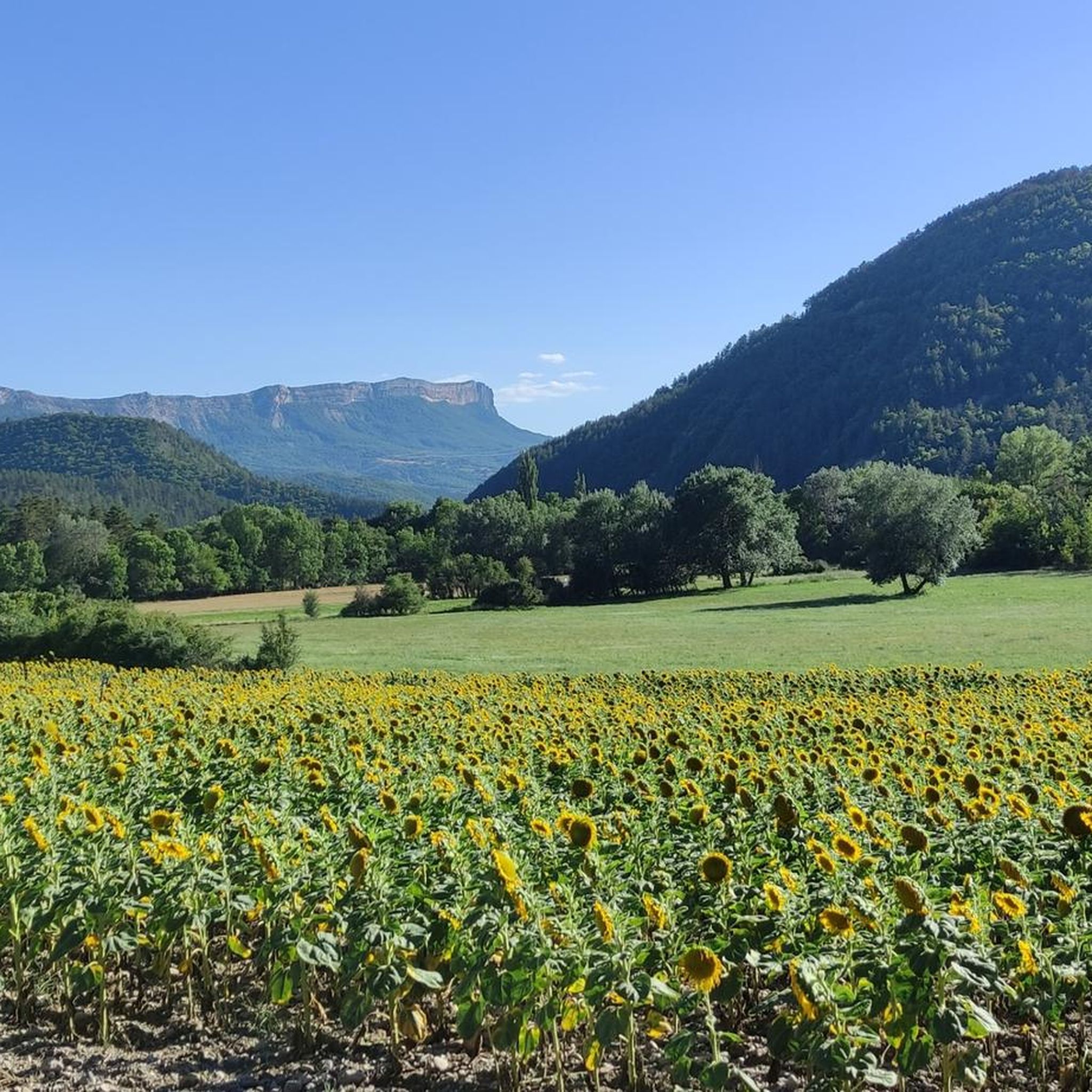
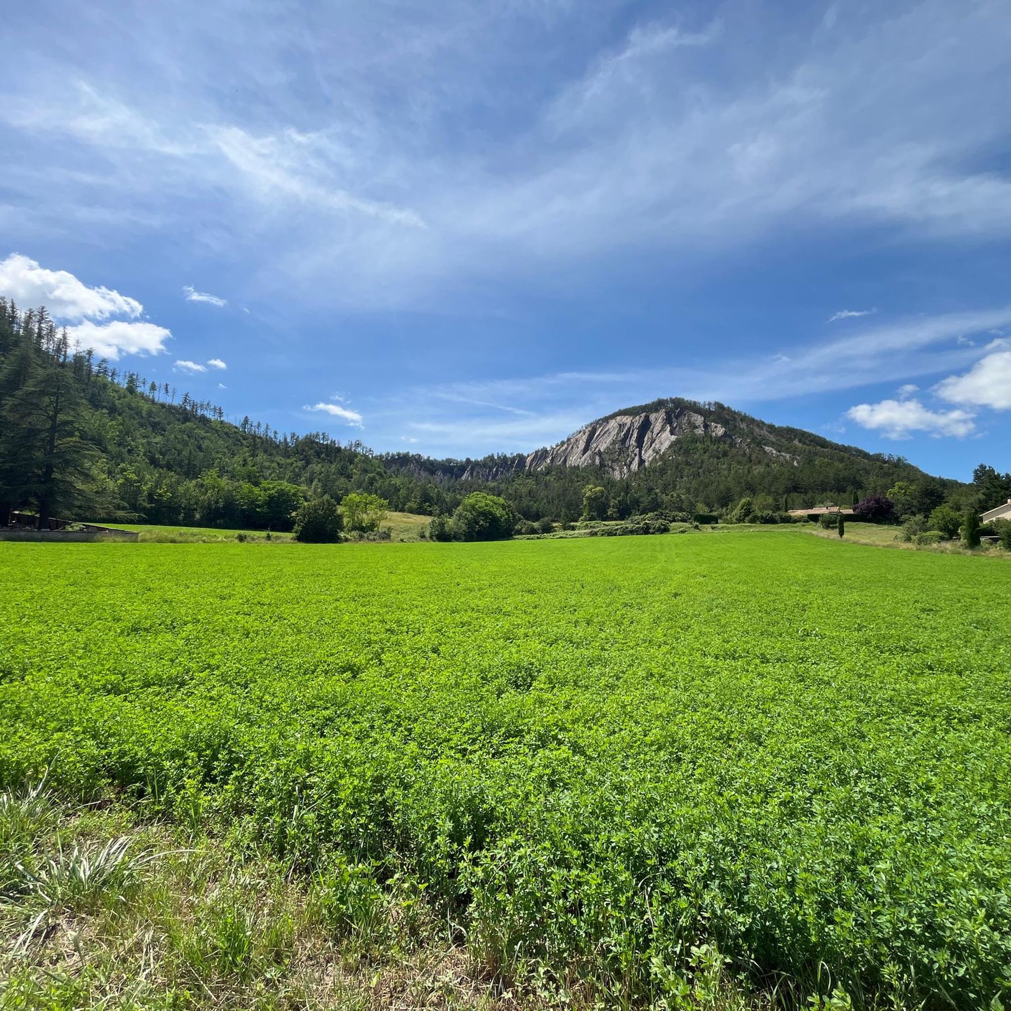
Hiking around La Motte-Du-Caire offers diverse landscapes within the Alpes-de-Haute-Provence, characterized by the Grand Vallon valley, steep hills, and mountains. The region features complex geological formations, including ancient limestone reliefs and "Terres Noires" (black marls). Hikers will encounter varied forests of white oak and Scots pine, alongside areas of garrigue on sunnier slopes. This environment provides a range of natural settings for outdoor exploration.
Best hiking trails around La Motte-Du-Caire
- The most popular hiking route is The Sagnières aqueduct,…
Last updated: September 28, 2026
4.8
(24)
85
hikers
6.06km
01:47
180m
180m
Easy hike. Great for any fitness level. Easily-accessible paths. Suitable for all skill levels.
4.5
(6)
27
hikers
13.1km
04:23
640m
640m
Moderate hike. Good fitness required. Easily-accessible paths. Suitable for all skill levels.

4.8
(4)
17
hikers
9.83km
03:33
570m
570m
Moderate hike. Good fitness required. Mostly accessible paths. Sure-footedness required.
4.0
(1)
12
hikers
6.06km
01:49
180m
180m
Easy hike. Great for any fitness level. Easily-accessible paths. Suitable for all skill levels.
4.0
(1)
8
hikers
11.0km
03:08
260m
260m
Moderate hike. Good fitness required. Easily-accessible paths. Suitable for all skill levels.
Get access to more routes and recommendations from other explorers.
Already have an account?
Our route recommendations are based on thousands of hikes, rides, and runs completed by other people on komoot.
Start today with a free account
Your next adventure awaits.
Tips from the Community


The Tête de Boursier peaks at 1235 m and offers a view to the North over the Durance and the superb climbing walls of the Montagne de Céüse. The slope to get there is quite steep.
2
0

Located in the Prealps of Digne, near the confluence of the Sasse and the Vermeil, this small village dates back to Antiquity. Renowned for its wine-growing activity, it is also known for its agricultural operations, notably with the production of two AOCs and nine IGPs.
1
0
Traffic-free road with a beautiful view of the surrounding passes.
3
0

A very beautiful shaded path leads you to the very discreet Sagnières aqueduct. This Roman construction shows how much the inhabitants of the time gave water all their attention. Sagnières in Old French means marsh, wet meadow. This explains the presence of this small technical feat.
1
0
Located in the Pre-Alps of Digne, Clamensane is surrounded by beautiful mountains. From the village you are close to the gorges of La Clastre and that of Sagnières.
1
0
Nice narrow path and sometimes on the edge of ravines to reach Clamensane. Forbidden to bicycles.
2
0
Nice narrow path and sometimes on the edge of ravines to reach Clamensane. Forbidden to bicycles.
3
0
Frequently Asked Questions
How many hiking trails are available around La Motte-Du-Caire?
There are over 40 hiking trails around La Motte-Du-Caire, catering to various skill levels. This includes 10 easy routes, 29 moderate routes, and 5 difficult trails for more experienced hikers.
What kind of natural features can I expect to see on hikes in La Motte-Du-Caire?
The region is characterized by the Grand Vallon valley, steep hills, and mountains. You'll encounter diverse geological formations, including ancient limestone reliefs and the unique 'Terres Noires' (black marls). The area also features varied forests of white oak and Scots pine, along with garrigue on sunnier slopes. Don't miss the century-old sequoias in the Saignon basin, part of a unique reforestation effort.
Are there any trails with waterfalls or gorges?
Yes, you can find natural water features in the area. For example, the Reynier Waterfall is a notable highlight. Additionally, the Vanson Gorge Trail (GR) offers a route through a scenic gorge.
What are some interesting landmarks or viewpoints to discover while hiking?
Hikers can explore several points of interest. The Inscribed Stone offers a historical touch, while the Black Mountains provide a striking natural landmark. For panoramic vistas, consider visiting the Table des Rayes or embarking on the Viewpoint Alps loop from Le Caire.
Are there any easy, family-friendly walks in the area?
Absolutely. La Motte-Du-Caire offers 10 easy routes suitable for families. A great option is The Sagnières aqueduct, a 3.8-mile (6.1 km) path that takes less than two hours to complete and leads through pleasant forested areas. The 'Ammonite Family Ferrata' at Via Ferrata de la Grande Fistoire also provides an easier adventure for beginners and children.
Can I find circular hiking routes around La Motte-Du-Caire?
Yes, many routes in the area are circular. Popular options include the moderate View of Clamensane – Route des Graves loop from Clamensane, which offers panoramic views, and the Tête de Boursier loop from Melve, known for its varied terrain.
What do other hikers say about the trails in La Motte-Du-Caire?
The hiking trails around La Motte-Du-Caire are highly regarded by the komoot community, with an average rating of 4.6 stars from over 80 reviews. Hikers often praise the diverse landscapes, from deep valleys to limestone formations and extensive forests, and the variety of routes available for different ability levels.
Is there public transport available to reach hiking trailheads?
While La Motte-Du-Caire is accessible, specific public transport links directly to all trailheads can be limited. It's advisable to check local bus schedules or consider driving to reach the starting points of many routes. The village itself is a good starting point for several walks.
Are there any challenging hikes for experienced trekkers?
Yes, for those seeking a challenge, there are 5 difficult routes available. These routes often exceed five hours and 3,000 feet of elevation gain, requiring good fitness and sure-footedness. The Via Ferrata de la Grande Fistoire, near Caire, also offers a challenging aerial course for thrill-seekers.
What is the best time of year to go hiking in La Motte-Du-Caire?
The Alpes-de-Haute-Provence region, including La Motte-Du-Caire, is generally pleasant for hiking from spring through autumn. Spring brings wildflowers and mild temperatures, while autumn offers beautiful foliage. Summer can be warm, so early morning or late afternoon hikes are recommended. Winter hiking is possible but may require appropriate gear for higher elevations.
Are there any historical sites or man-made monuments along the trails?
Yes, you can encounter historical and man-made features. The Inscribed Stone is a historical highlight. Additionally, the Aqueduc des Sagnieres is a notable man-made monument that can be seen on some routes, such as The Sagnières aqueduct trail.
Are dogs allowed on the hiking trails in La Motte-Du-Caire?
Generally, dogs are welcome on many hiking trails in the Alpes-de-Haute-Provence region, but it's always best to keep them on a leash, especially in areas with livestock or protected wildlife. Specific restrictions might apply in certain nature reserves or on private land, so always look for local signage.
Most popular attractions around La Motte-Du-Caire

Get inspired with the komoot mobile app


Explore more
Browse the best Hikes in other regions.
