The best walks and hikes around Clayeures
4.3
(41)
187
hikers
29
hikes
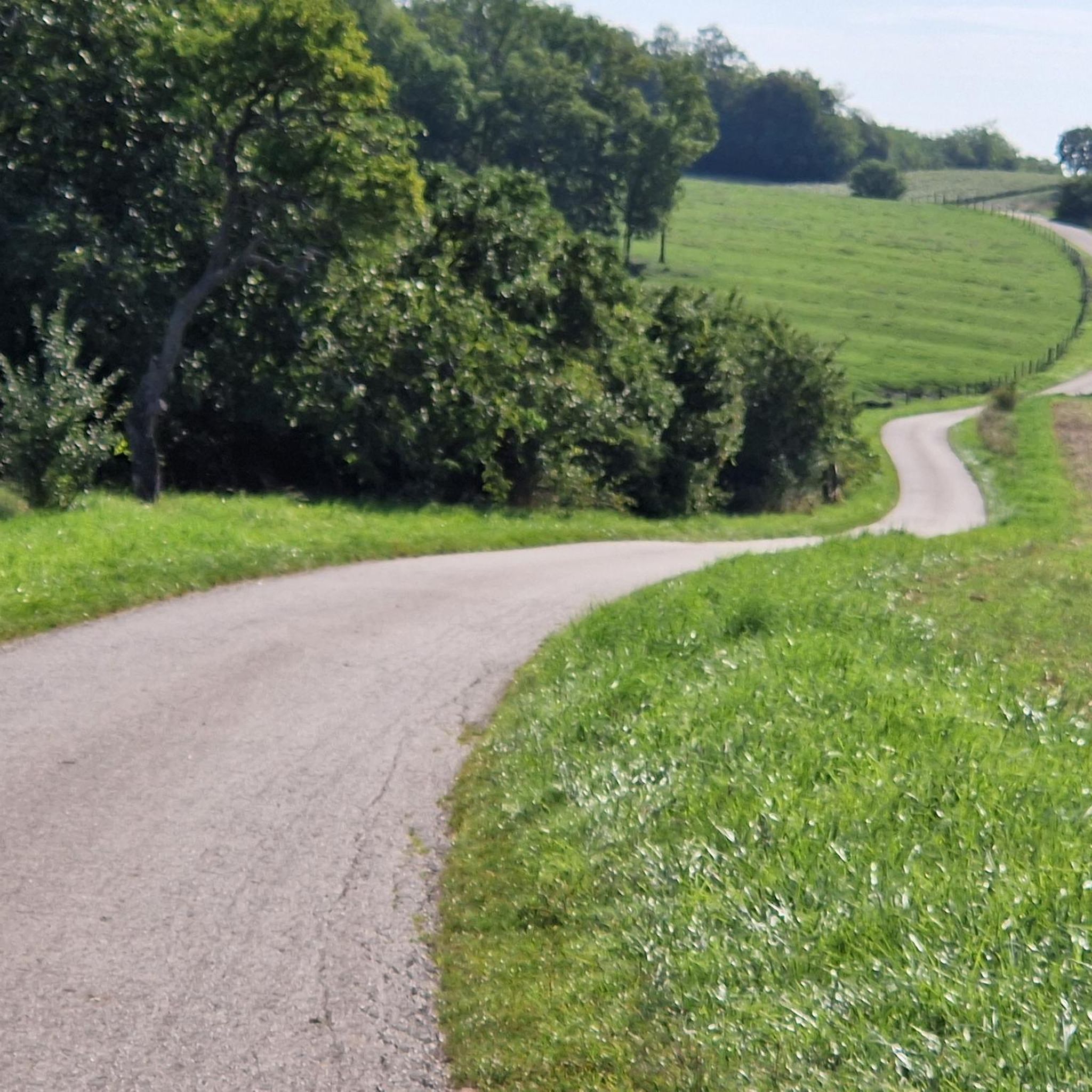
Hiking around Clayeures offers diverse landscapes, from tranquil ponds to the summit of an ancient volcano. The region is characterized by a mix of cereal plains, forests, and meadows, with the Moselle Sauvage Regional Nature Reserve providing additional natural settings. Hikers can explore varied terrain, including wetlands like the Droitaumont Marsh and the gentle inclines of the "Channel."
Best hiking trails around Clayeures
- The most popular hiking route is Covered Picnic Shelter – Spielplatz loop from Mangonville, a 6.9…
Last updated: August 1, 2026
5.0
(5)
21
hikers
11.1km
02:58
120m
120m
Moderate hike. Good fitness required. Easily-accessible paths. Suitable for all skill levels.
13
hikers
Easy hike. Great for any fitness level. Easily-accessible paths. Suitable for all skill levels.

Sign up for free
4.0
(1)
4
hikers
5.34km
01:21
10m
10m
Easy hike. Great for any fitness level. Easily-accessible paths. Suitable for all skill levels.
5.0
(1)
17
hikers
10.3km
02:38
30m
30m
Moderate hike. Good fitness required. Easily-accessible paths. Suitable for all skill levels.
4.0
(1)
5
hikers
8.42km
02:21
160m
160m
Moderate hike. Good fitness required. Easily-accessible paths. Suitable for all skill levels.
Get access to more routes and recommendations from other explorers.
Sign up for free
Already have an account?
Our route recommendations are based on thousands of hikes, rides, and runs completed by other people on komoot.
Start today with a free account
Your next adventure awaits.
Login or Signup


Tips from the Community

An easy walk. Nice for a quick stop. Note the decline of the quays along the Canal des Vosges.
0
0


Beautiful nature reserve directly on the Moselle https://reserves-naturelles.org/reserves/moselle-sauvage/
2
0
Schleuse am Canal des Vosges bei Bainville-aux-Miroirs https://www.reperesdecrues.developpement-durable.gouv.fr/site/barrage-de-bainville
2
0
Cozy restaurant with a beautiful garden directly on the hiking trail
1
0
Covered washing area in Bainville-aux-Miroir
1
0
Covered rest area directly on the hiking trail
2
0
Frequently Asked Questions
How many hiking trails are available around Clayeures?
There are over 20 hiking trails around Clayeures, catering to various skill levels. You'll find a good balance of easy and moderate routes, with a few more challenging options for experienced hikers.
What kind of landscapes can I expect to see while hiking near Clayeures?
The region offers diverse landscapes, including tranquil ponds, cereal plains, forests, and expansive meadows. You can explore wetlands like the Droitaumont Marsh, or enjoy the picturesque settings of the Moselle Sauvage Regional Nature Reserve. Near Essey-la-Côte, you can even ascend to the summit of an ancient volcano for panoramic views.
Are there any easy, short walks suitable for families or a leisurely stroll?
Yes, for a gentle walk, consider the Round trip from the campsite loop from Bayon. This easy 3 km path is perfect for a relaxed outing near the Ponds of the Saussaie de Bayon.
What are some notable natural features or landmarks to look out for on the trails?
Hikers can discover several interesting features. The Ponds of the Saussaie de Bayon offer a tranquil environment, while the Summit of the ancient volcano near Essey-la-Côte provides unique geological insights. The 'Channel' is also known for its wonderful scenery and gentle inclines, ideal for comfortable walking.
Are there any circular hiking routes available?
Yes, many routes in the area are circular. For example, the Round trip from the campsite loop from Roville-devant-Bayon is a 6.7 km circular trail that takes you through the countryside.
What do other hikers say about the trails in Clayeures?
The trails around Clayeures are highly rated by the komoot community, with an average score of 4.3 stars from over 40 reviews. Hikers often praise the varied terrain and the peaceful rural atmosphere.
Are there any longer, moderate hikes for those looking for more of a challenge?
Certainly. The Covered Picnic Shelter – Spielplatz loop from Mangonville is a moderate 11.1 km trail that winds through the rural landscape and takes approximately 3 hours to complete.
Can I find trails that pass by historical sites or castles?
Yes, the region has historical points of interest. While exploring, you might encounter sites like the Adoménil Castle, which adds a historical dimension to your hike. The Château de Moncel also offers dedicated walking paths within its park.
Is there a good trail to experience the Ponds of the Saussaie de Bayon?
Absolutely. The Round trip from the campsite – Ponds of the Saussaie de Bayon loop from Bayon is an easy 5.3 km route that specifically takes you around these tranquil municipal ponds, offering a relaxing break and insights into local history.
What is the best time of year to go hiking in Clayeures?
The green and majestic lands of the Moselle region, where Clayeures is located, are beautiful throughout the warmer months. Spring and autumn offer pleasant temperatures and vibrant scenery, while summer is also suitable for hiking, especially on shaded trails.
Are there any specific trails that offer views of Nancy?
Yes, the 'Entre champs et bois à Manoncourt-en-Vermois' is an 8.09 km loop that winds through fields and a small forest, offering views of Nancy in the distance, alongside local orchards.
Where can I find more information about walking and hiking in the broader Meurthe-et-Moselle department?
For additional resources and inspiration on walks and hikes in the Meurthe-et-Moselle department, you can visit the local tourism website: miltol-tourisme.com.
Most popular attractions around Clayeures

Get inspired with the komoot mobile app


Explore more
Browse the best Hikes in other regions.
