The best road cycling routes around Neuviller-Lès-Badonviller
4.7
(44)
1,014
riders
112
rides
Road cycling around Neuviller-Lès-Badonviller is characterized by its position within the foothills of the Vosges Massif, offering a mix of rolling hills, valleys, and extensive forests. The region features diverse cycling terrain, with elevations ranging between 289 and 341 meters. Nearby lakes, such as Lac de la Plaine and Lacs de Pierre Percée, provide scenic focal points for routes. This geographical setting supports varied road cycling experiences.
Best road cycling routes around Neuviller-Lès-Badonviller
- The most popular road cycling route is…
Last updated: August 15, 2026
5.0
(2)
35
riders
49.9km
02:37
570m
570m
Moderate road ride. Good fitness required. Mostly well-paved surfaces and easy to ride.
10
riders
20.9km
01:03
330m
330m
Moderate road ride. Good fitness required. Mostly well-paved surfaces and easy to ride.

Sign up for free
4.0
(2)
8
riders
32.6km
01:34
410m
410m
Moderate road ride. Good fitness required. Mostly well-paved surfaces and easy to ride.
5
riders
62.1km
02:53
400m
400m
Moderate road ride. Good fitness required. Mostly well-paved surfaces and easy to ride.
4
riders
29.6km
01:18
310m
310m
Moderate road ride. Good fitness required. Mostly well-paved surfaces and easy to ride.
Get access to more routes and recommendations from other explorers.
Sign up for free
Already have an account?
Our route recommendations are based on thousands of hikes, rides, and runs completed by other people on komoot.
Start today with a free account
Your next adventure awaits.
Login or Signup

Tips from the Community

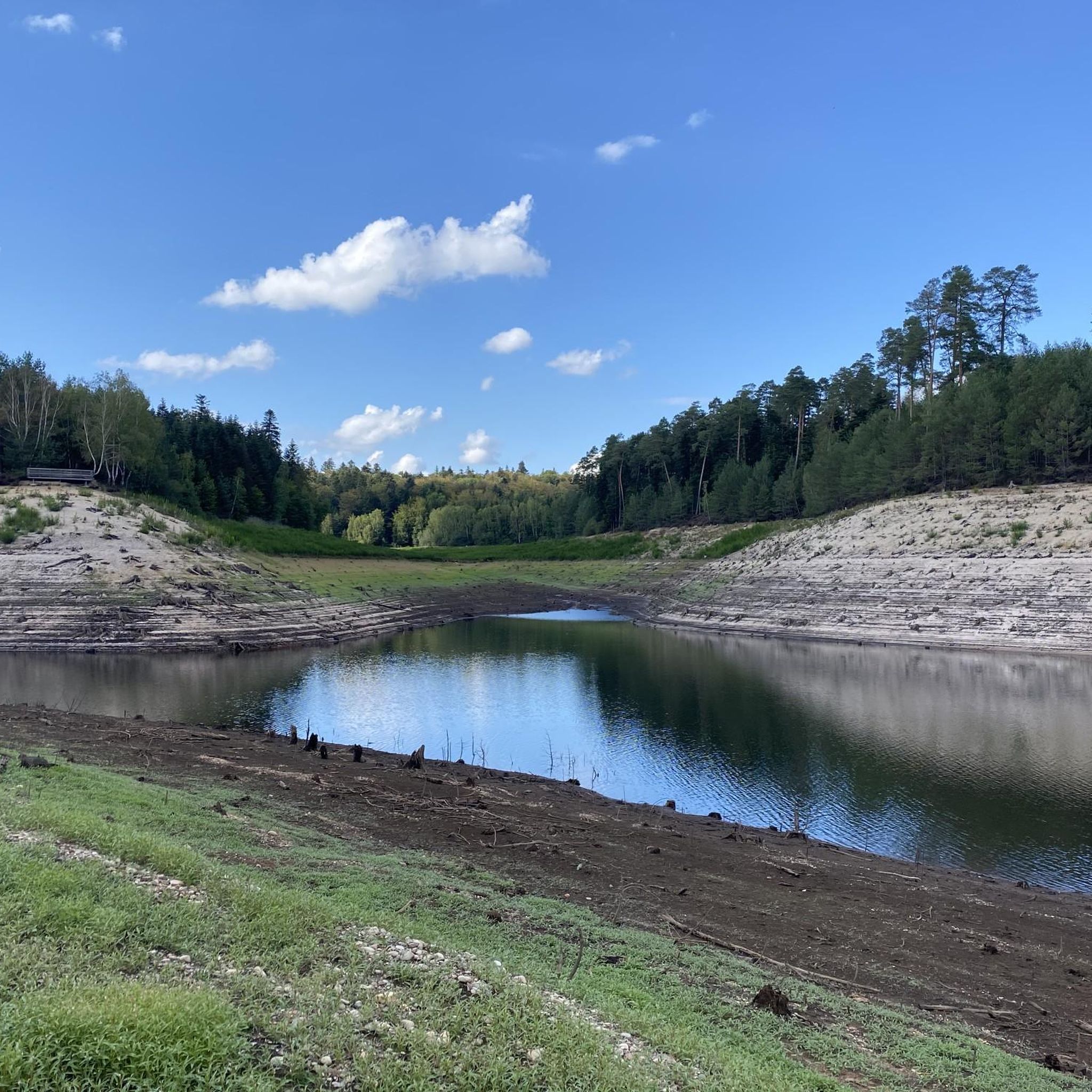
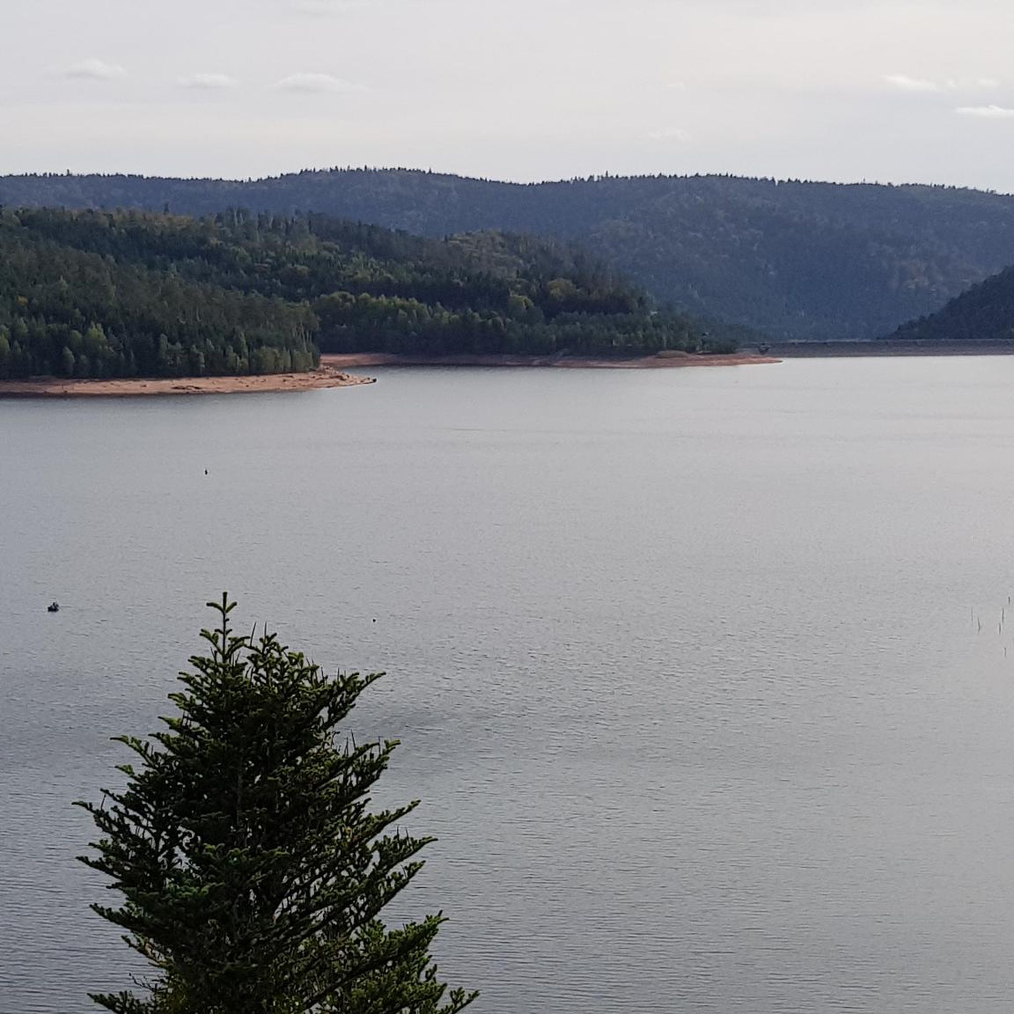
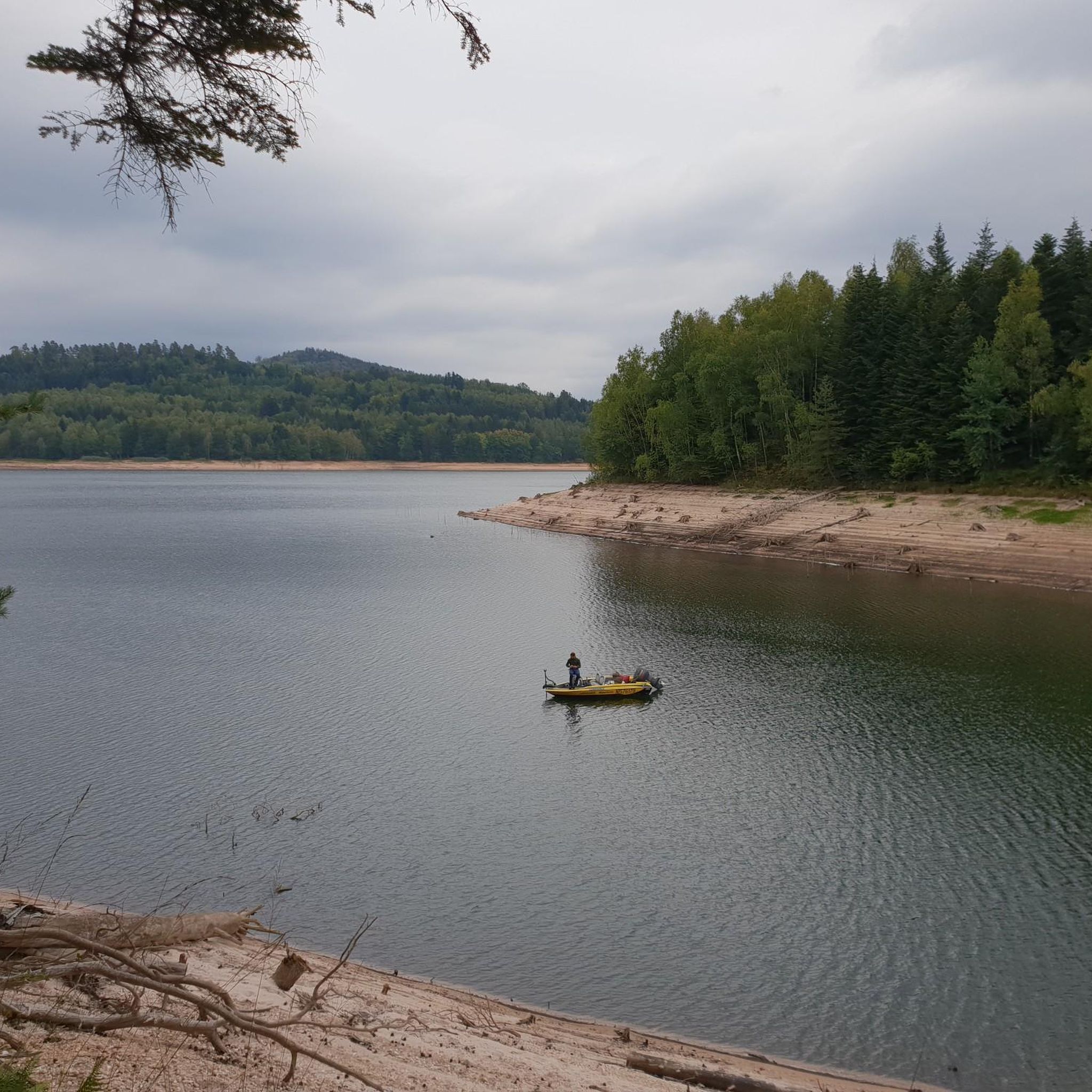
Situated in the heart of the Vosges, this dam, together with Lac de la Plaine, forms an important water reservoir. The dam was built to feed Lac de Pierre-Percée via an underground system. The climb up to it is gradual and rewards you with a view of the peaceful Lac de la Plaine. The road along the lake is ideal for a breather, with little traffic and lots of nature. Perfect for a short break or a photo opportunity during your ride.
9
0
"The giant Monument aux Morts de Badonviller, located next to the Église Saint-Martin, is an impressive memorial commemorating the village's inhabitants who died or went missing during the Great War (1914–1918), the Second World War, and the conflicts in Indochina (1946–1954) and Algeria (1954–1962).
6
0
This impressive dam, located in the Vosges, forms an artificial water reservoir together with the Lac de Pierre-Percée. The dam is 69 metres high and 330 metres long, built with a clay core and lined with volcanic rock. It plays an important role in water management and energy production via an underground water connection with the Lac de la Plaine. The surrounding area offers beautiful views and is ideal for hiking along rocky paths, forests and viewpoints over the lake.
7
0
Pierre-Percée is a small mountain village in the east of the Meurthe-et-Moselle department, on the edge of the Vosges Mountains. With fewer than 100 inhabitants, it is one of the smallest communes in the region. Situated on the edge of the Plaine Valley, the village is built at the foot of the ruins of the medieval Château de Pierre-Percée, which once belonged to the Counts of Salm. The village's name refers to a 33-meter-deep well carved into the rock beneath the castle. During the Thirty Years' War, the village, like the castle, was largely destroyed. In the 20th century, Pierre-Percée regained significance with the construction of the EDF reservoir and the creation of a recreation area, which today attracts tourists for hiking, water sports, and nature experiences.
9
0

This memorial commemorates the dead of the First World War as well as the citizens of Pierre-Percée who died in other wars.
1
0

Walk in the footsteps of the fighters of the 14-18 war by walking through their trenches
1
0

Magnificent panoramas, technical trail with some passages to be passed with caution
0
0

On the one hand, there is a lot to see for those interested in the battlefields of the First World War, and on the other hand, the nature here is very worth seeing, the beautiful sandstone cliffs of a former coast with rock inclusions and much more.
1
0
Frequently Asked Questions
How many road cycling routes are available around Neuviller-lès-Badonviller?
There are over 100 road cycling routes around Neuviller-lès-Badonviller, offering a wide variety of options for different skill levels and preferences. The komoot community has explored these routes over 900 times.
What is the typical terrain like for road cycling in this region?
The region around Neuviller-lès-Badonviller is characterized by its position within the foothills of the Vosges Massif. This means you can expect a mix of rolling hills, valleys, and extensive forests. Elevations range between 289 and 341 meters, providing diverse cycling experiences from gentle slopes to more challenging climbs.
What are the difficulty levels of road cycling routes in Neuviller-lès-Badonviller?
The routes cater to various skill levels. You'll find approximately 11 easy routes, 88 moderate routes, and 10 difficult routes. This variety ensures that both beginners and experienced cyclists can find suitable challenges.
What natural features or landmarks can I see along road cycling routes?
Many routes offer scenic views of the region's natural beauty. You can cycle past beautiful lakes like Lake Pierre-Percée and Lac de la Plaine. Other notable features include the Vieux-Pré Dam and the charming settlement of Pierre-Percée.
Are there specific viewpoints or scenic spots recommended for road cyclists?
Yes, the area offers several scenic spots. The Raven Rock provides excellent views, as does the Vieux-Pré dam lookout point. These locations are often integrated into cycling routes, offering perfect opportunities for a break and to enjoy the landscape.
Are there any long-distance cycling routes that pass through or near Neuviller-lès-Badonviller?
Yes, the nearby town of Badonviller is crossed by significant long-distance cycle routes such as the "Voie de la 2ème DB" and the "Via Pax/Ligne de front 14/18." These routes offer extensive, well-defined paths that road cyclists can utilize for longer journeys or as a basis for exploring the local area.
Are there circular road cycling routes available?
Many of the routes in the area are designed as loops, allowing you to start and end at the same point. Examples include the Chapelotte Pass – Prayé Forest Road loop from Fenneviller and the Lac de la Plaine – Lac de la Plaine loop from Fenneviller.
Is parking available for cyclists in Neuviller-lès-Badonviller or near the routes?
While specific parking areas for cyclists are not detailed, the presence of numerous routes starting from towns like Fenneviller and Pierre-Percée suggests that parking facilities are generally available in these starting points. It's advisable to check local parking options in the specific village you plan to start from.
Can I use public transport to access road cycling routes with my bike?
Information regarding public transport options for bikes in Neuviller-lès-Badonviller is not readily available. It's recommended to research local bus or train services in the Grand Est region for their bike carriage policies if you plan to use public transport.
What do other road cyclists enjoy about the routes in Neuviller-lès-Badonviller?
The area is highly rated by the komoot community, with an average score of 4.8 stars from over 30 reviews. Cyclists often praise the varied terrain, the scenic beauty of the Vosges foothills, and the tranquil atmosphere of cycling through extensive forests and past picturesque lakes.
Are there family-friendly road cycling routes in the area?
While many routes involve rolling hills, there are easier options suitable for families. For instance, the Vieux-Pré Dam – War Memorial of Pierre-Percée loop from Pierre-Percée is a moderate 22.2 km path that offers scenic views without extreme difficulty, making it a good choice for families with some cycling experience. There are also 11 routes specifically categorized as 'easy'.
Most popular routes around Neuviller-Lès-Badonviller
Most popular attractions around Neuviller-Lès-Badonviller

Get inspired with the komoot mobile app


Explore more
Browse the best Road cycling routes in other regions.
