The best walks and hikes around Breuchotte
4.3
(370)
1,887
hikers
144
hikes
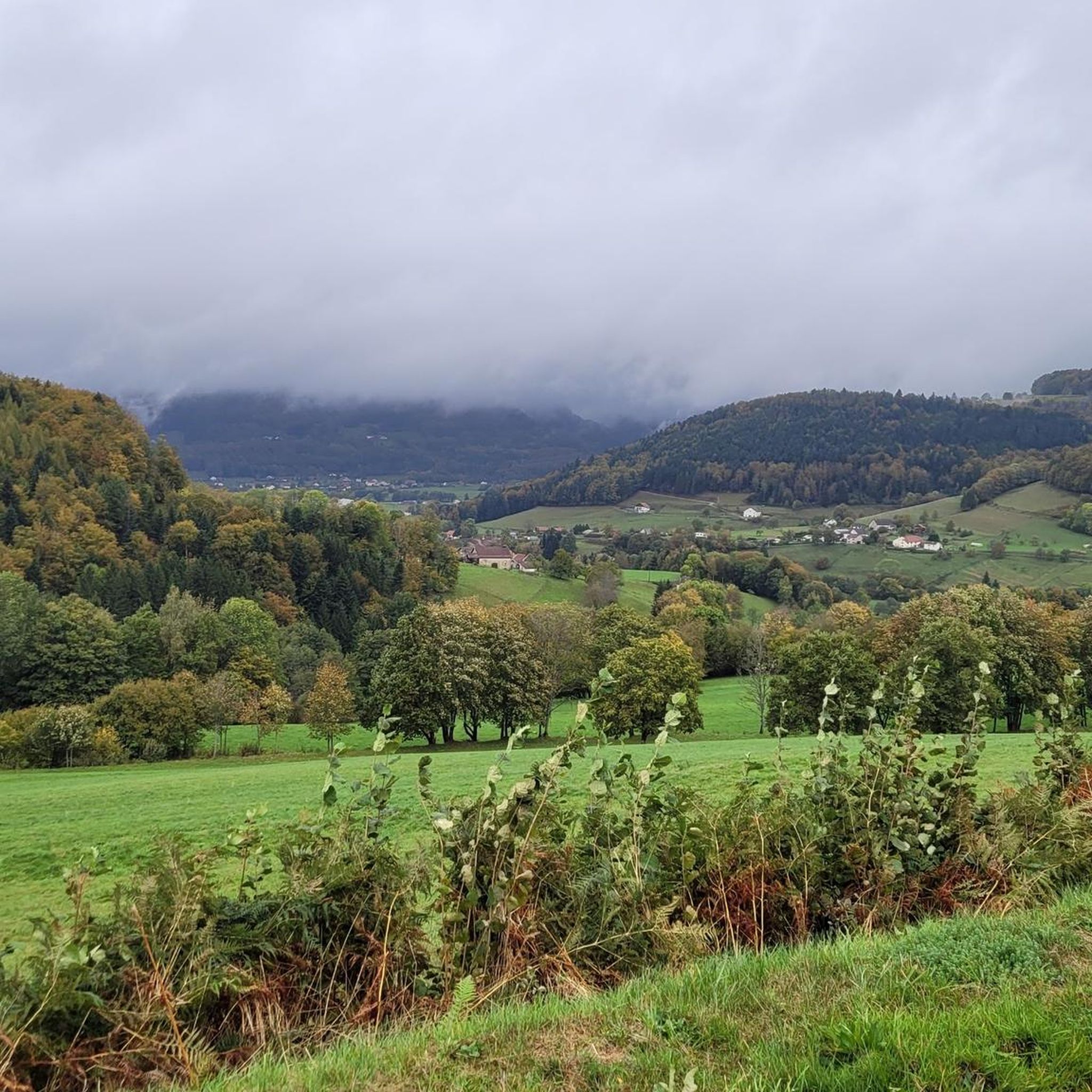
Hiking around Breuchotte, located in the Haute-Saône department of France, offers diverse landscapes for outdoor activities. The region is characterized by dense forests, tranquil ponds, and the winding Breuchin river, situated within the Massif des Vosges and the distinctive Plateau des Mille Étangs. Rolling hills provide viewpoints over the village and surrounding countryside, with many trails generally accessible.
Best hiking trails around Breuchotte
- The most popular hiking route is Two Chapels Loop, a 5.4 miles (8.8 km) trail that…
Last updated: November 4, 2026
3.9
(11)
33
hikers
9.18km
02:42
240m
240m
Moderate hike. Good fitness required. Easily walkable paths.
2.5
(2)
13
hikers
15.8km
04:12
170m
170m
Moderate hike. Good fitness required. Easily walkable paths.

5
hikers
6.49km
01:43
60m
60m
Easy hike. Easily walkable paths.
4.7
(3)
12
hikers
8.18km
02:26
240m
240m
Moderate hike. Good fitness required. Easily walkable paths.
4.0
(1)
10
hikers
15.8km
04:33
370m
370m
Moderate hike. Good fitness required. Easily walkable paths.
Get access to more routes and recommendations from other explorers.
Already have an account?
Our route recommendations are based on thousands of hikes, rides, and runs completed by other people on komoot.
Start today with a free account
Your next adventure awaits.

Tips from the Community

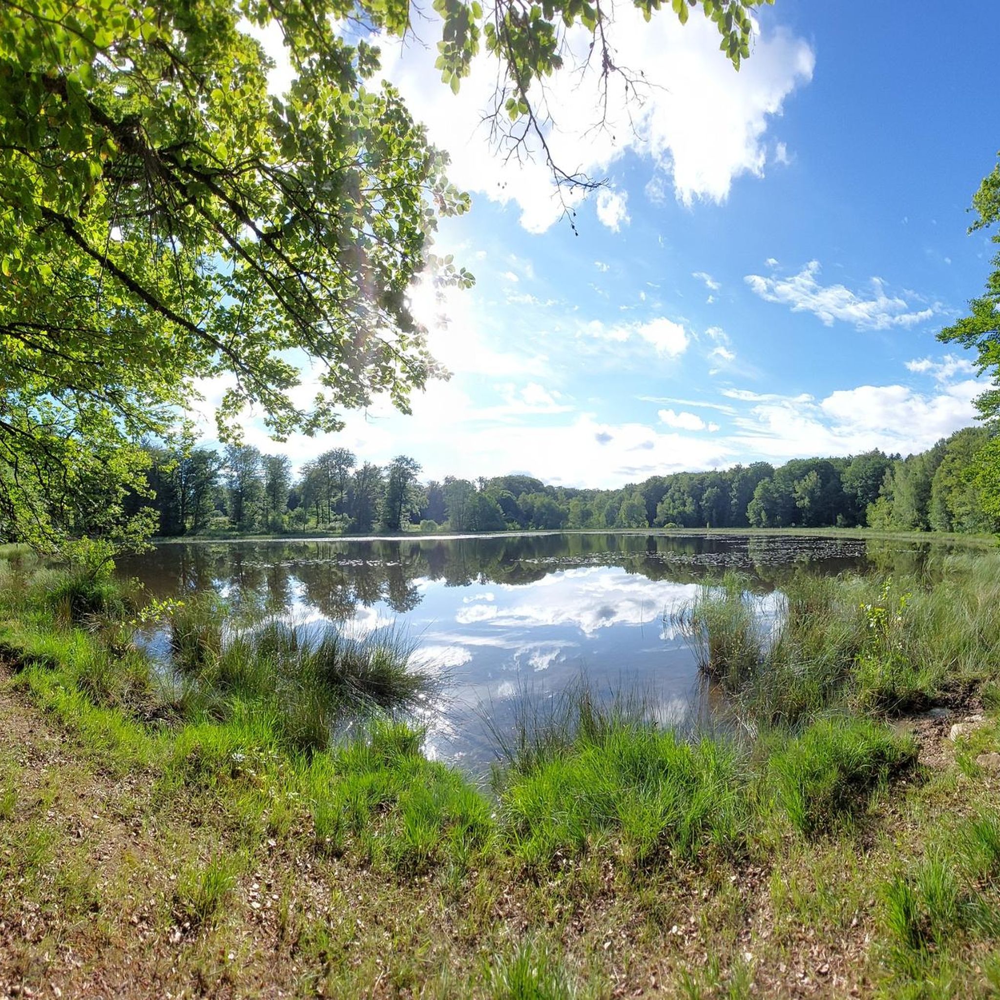
Very quiet place, very pleasant stone bench to admire the pond.
0
0

Here, you enjoy a superb view of the pond, nestled in the middle of lush nature. Take advantage of this idyllic setting to recharge your batteries.
1
0
Saint-Bresson is known for its peaceful rural setting and green landscapes. This village is an ideal starting point for exploring the region's hiking trails, offering breathtaking views of the Vosges.
2
0
The Sainte-Madeleine church is the main religious building of Sainte-Marie-en-Chanois. Nearby, there are two small, picturesque chapels which complete the collection of historic buildings.
0
0
Dedicated to plague patients, the Saint-Roch chapel is one of three religious buildings in Sainte-Marie-en-Chanois. It stands in the middle of a bucolic setting, next to the graves of victims of the plague of 1636.
0
0
Characterized by its traditional architecture and its surrounding landscapes, this chapel offers a space for contemplation. It is here that Saint-Colomban liked to retire to pray. Legend has it that a bear lived in the nearby cave. As he approached, the monk asked him to withdraw, and the beast never returned. The sick used to come and take water from the miraculous spring. A place full of mystery, in the middle of an idyllic setting!
1
1

Frequently Asked Questions
What kind of terrain can I expect on hikes around Breuchotte?
Hiking around Breuchotte offers a diverse landscape characterized by dense forests, tranquil ponds, and the winding Breuchin river. Trails often lead through wooded areas, alongside serene water bodies, and across rolling hills that provide charming viewpoints over the village and surrounding countryside. The region is part of the Massif des Vosges and the distinctive Plateau des Mille Étangs, known for its mosaic of small lakes and wetlands.
Are there many hiking trails available in Breuchotte?
Yes, Breuchotte and its vicinity offer a wide selection of hiking opportunities. There are over 130 hiking routes available, catering to various preferences and fitness levels. These trails are highly rated by the komoot community, with an average score of 4.4 stars from over 290 reviews.
What are the difficulty levels of hikes in the Breuchotte area?
The hiking trails around Breuchotte cater to all abilities. You'll find a good mix of easy, moderate, and some more challenging routes. Approximately 62 routes are considered easy, 68 are moderate, and a few, like the Tresurier Pond – Guivers Hill loop from Raddon-et-Chapendu, are rated as difficult, offering longer distances and more significant elevation gains.
Are there any family-friendly hiking options in Breuchotte?
Yes, many trails in the Breuchotte area are suitable for families. The region's generally accessible terrain, with numerous forest and pond circuits, makes for pleasant walks. Routes like the Tresurier Pond loop from La Grange Durand are relatively short and easy, perfect for a family outing.
Can I bring my dog on the hiking trails around Breuchotte?
Many trails in the Breuchotte region are suitable for dogs, especially those that traverse forests and open countryside. However, it's always advisable to keep your dog on a leash, particularly when passing through agricultural areas or near wildlife, and to check local regulations for specific trails or protected areas.
What natural attractions or landmarks can I see while hiking near Breuchotte?
The region is rich in natural beauty. You can explore the unique Plateau des mille étangs, a mosaic of small lakes and wetlands. Other points of interest include the serene ponds and the winding Breuchin river. For more extensive excursions, the majestic Ballon d'Alsace and the beautiful Cascade de la Pissoire are within reasonable driving distance.
Is there parking available at the trailheads in Breuchotte?
While specific parking information for every trailhead isn't always detailed, many villages and popular starting points for hikes in rural areas like Breuchotte typically offer designated parking areas or roadside parking options. It's recommended to check specific route details on komoot or local signage upon arrival.
What is the best time of year to go hiking in Breuchotte?
Breuchotte offers enjoyable hiking experiences throughout much of the year. Spring brings lush greenery and blooming flora, while autumn showcases vibrant fall colors in the forests. Summer is ideal for longer days and warmer weather, though some trails might be shaded by the dense forests. Winter hiking is possible, but conditions can vary, so checking local weather is essential.
Are there any other outdoor activities besides hiking available in the Haute-Saône department?
Absolutely! Beyond hiking, the Haute-Saône department provides a multitude of other outdoor activities. These include road cycling, mountain biking, horseback riding, trail running, caving, hot-air ballooning, and various water and river activities. For more information, you can explore other outdoor activities in Haute-Saône on the Haute-Saône Tourisme website.
What do other hikers say about the trails in Breuchotte?
The hiking routes in Breuchotte are highly regarded by the komoot community, holding an impressive average score of 4.4 stars from over 290 reviews. Hikers often praise the quiet woodlands, the serene beauty of the ponds, and the well-marked paths that make exploring the region a pleasure.
Are there any accessible hikes for people with limited mobility near Breuchotte?
While specific 'accessible' trails designed for wheelchairs or strollers are not explicitly detailed, many of the 'easy' rated trails, particularly those that follow riverbanks or loop around ponds on relatively flat terrain, might be suitable for individuals with limited mobility or those using all-terrain strollers. It's always best to check the specific route details and elevation profiles on komoot before heading out.
Most popular routes around Breuchotte
Most popular attractions around Breuchotte

Get inspired with the komoot mobile app


Explore more
Browse the best Hikes in other regions.
