The best MTB trails around Corravillers
4.5
(237)
1,353
riders
101
rides
Mountain bike trails around Corravillers are set within the diverse landscapes of the Haute-Saône department in France. The region is characterized by the unique Plateau des 1000 Étangs, featuring numerous ponds, woodlands, and streams. Riders can also experience views of the Vosges Massif from elevated points like the Col du Mont de Fourche. Dense forests and varied terrain provide a rich environment for mountain biking.
Best mountain bike trails around Corravillers
- The most popular mountain bike trail is Discovering 1000…
Last updated: October 8, 2026
4.7
(11)
35
riders
42.5km
03:42
750m
750m
Hard mountain bike ride. Good fitness required. Advanced riding skills necessary. Some portions of the route may require you to push your bike.
4.3
(3)
28
riders
42.9km
03:51
790m
790m
Hard mountain bike ride. Good fitness required. Advanced riding skills necessary. Some portions of the route may require you to push your bike.

4.0
(3)
28
riders
44.1km
04:06
980m
980m
Hard mountain bike ride. Very good fitness required. Advanced riding skills necessary.
5.0
(4)
26
riders
48.0km
04:16
1,000m
1,000m
Hard mountain bike ride. Very good fitness required. Suitable for all skill levels.
4.8
(4)
19
riders
Moderate mountain bike ride. Good fitness required. Advanced riding skills necessary.
Get access to more routes and recommendations from other explorers.
Already have an account?
Our route recommendations are based on thousands of hikes, rides, and runs completed by other people on komoot.
Start today with a free account
Your next adventure awaits.
Tips from the Community

The former train station of Le Thillot (la gare du Thillot) is a historic monument that played a central role in the region's transformation. Opened in 1879 on the railway line between Épinal and Bussang, the SNCF definitively closed the station in 1989. The building has been completely renovated and now houses the Maison des Hautes‑Mynes, the visitor center for the historic copper mines. The former railway bed has been transformed into the Voie Verte des Hautes‑Vosges, a car-free cycle path connecting Remiremont with Bussang. Directly next to the station also starts the Voie du Tacot, an educational route along the old narrow-gauge railway line.
4
0
De Col des Croix is a 679-meter-high mountain pass in the French Vogezen massif, located on the border of the Vosges and Haute-Saône departments. The pass forms an accessible connecting road (the D486) between the northern Le Thillot and the southern Servance. At the top, you will find the well-known Le Chalet Snack du Col des Croix, and the road splits towards the D16 (Route des Forts), the route that continues to the higher Ballon de Servance.
4
0

The Cascade du Géhard is located near Girmont-Val-d’Ajol in the southern Vosges mountains at an altitude of about 500 meters. The Géhard plunges here over several stages and through potholes washed out by the water. Below the cascade, a picturesque stone arch bridge spans the stream. The site is accessible via marked hiking trails and can be easily combined with a hike around Girmont-Val-d’Ajo
0
0

A small pass after the Ballon de Severance. Refreshment stand with a view.
3
0

Not to forget: WC and bicycle tools. At the Saint-Maurice-sur-Moselle station.
0
0

A moment of respite before Le Thillot away from motorized traffic!
0
0

Easy access with nearby parking and a picnic table. There's an information panel. The waterfall itself isn't particularly impressive, but the site offers marked hiking trails along the stream (very pretty with its rocks forming small waterfalls), for example. Note that in wet and rainy weather, the surrounding area can be slippery (moss, grass, leaves, and rocks). So keep a close eye on children!
2
0

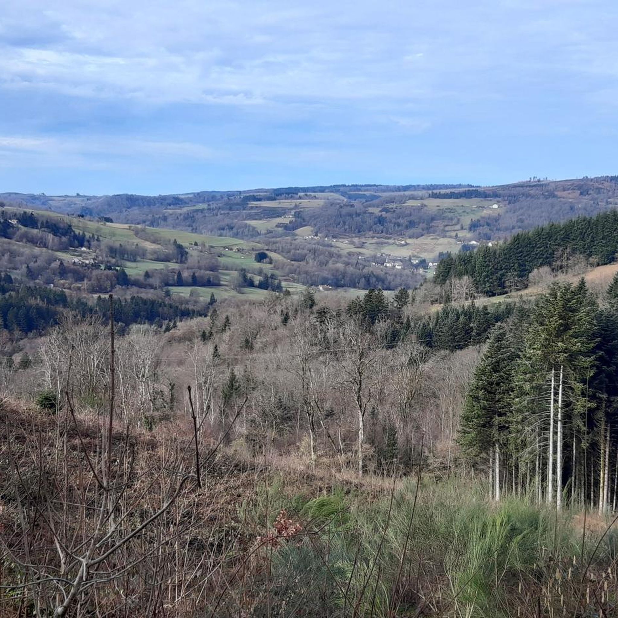
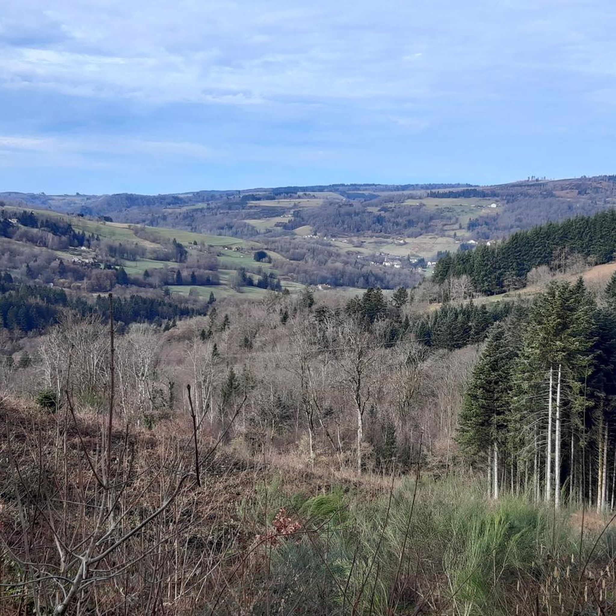
The Bozon Valley draws the first reliefs before the arrival of the Ballons Comtois in the Vosges massif. The hilly and wooded landscape is quite charming, with beautiful panoramic views.
3
0
Frequently Asked Questions
How many mountain bike trails are available around Corravillers?
There are nearly 100 mountain bike trails around Corravillers, offering a wide range of options for different skill levels. This includes 6 easy routes, 60 moderate routes, and 27 difficult routes.
What are the typical difficulty levels and elevation gains for mountain biking in Corravillers?
The trails around Corravillers cater to all skill levels, from easy to very challenging. Difficult routes often feature significant elevation gains; for example, the Géhard Waterfall – Mont de Fourche Pass loop covers 49.1 km with over 1100 meters of elevation gain. Moderate trails, such as the Plateau des Grilloux Parking – La Mer loop, typically involve around 600 meters of ascent over 30-35 km.
Are there any circular mountain bike routes in the Corravillers area?
Yes, many mountain bike routes around Corravillers are designed as loops. For instance, you can explore the unique Plateau des 1000 Étangs on the Discovering 1000 ponds – Pond and Cabins loop, or tackle the challenging Mont de Fourche Pass – Black Pond loop which offers expansive views.
What natural attractions can I see along the mountain bike trails?
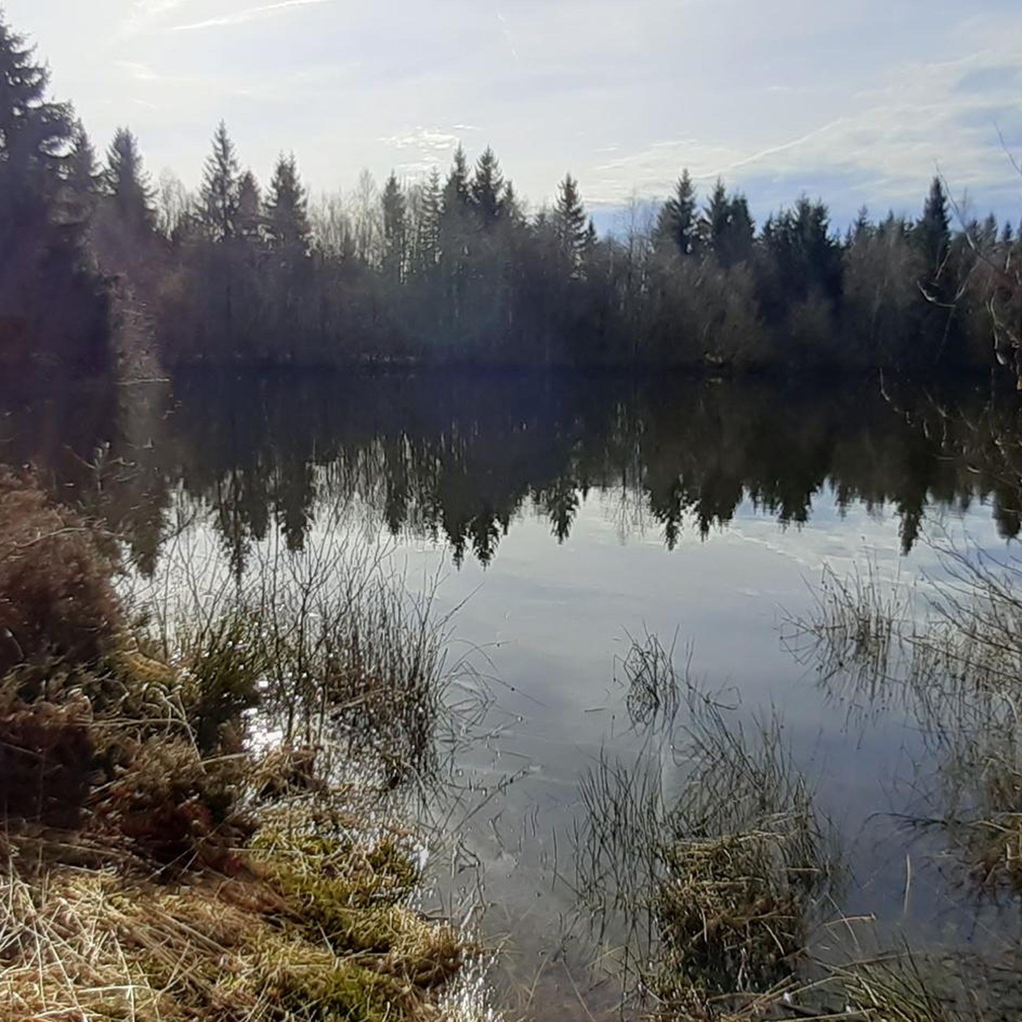
The region is rich in natural beauty. You can encounter features like the Crosery Gorges, with its river carving through steep rock faces, or the impressive Géhard Waterfall. The trails also wind through the unique Plateau des 1000 Étangs, where you'll find numerous ponds such as Villerain Pond and Étang de la Mer.
What do other mountain bikers enjoy most about the trails in Corravillers?
The mountain biking experience in Corravillers is highly rated by the komoot community, with an average score of 4.4 stars from over 160 reviews. Riders often praise the diverse landscapes, from the unique Plateau des 1000 Étangs to the dense forests and challenging climbs that offer rewarding views of the Vosges Massif.
Are there any family-friendly mountain bike trails near Corravillers?
While many routes offer significant challenges, there are 6 easy mountain bike trails available around Corravillers that are suitable for families or those looking for a less strenuous ride. These routes typically feature gentler terrain and shorter distances, allowing for an enjoyable experience for all ages.
Can I bring my dog on the mountain bike trails in Corravillers?
The Haute-Saône region, including Corravillers, is generally welcoming to dogs on trails, especially in natural areas like the Plateau des 1000 Étangs and its extensive forests. However, it's always recommended to keep your dog on a leash and ensure they are well-behaved, particularly when encountering other trail users or wildlife. Check local signage for any specific restrictions.
What is the best time of year for mountain biking in Corravillers?
The spring, summer, and early autumn months generally offer the best conditions for mountain biking in Corravillers. During these seasons, the weather is typically more favorable, and the trails are less likely to be affected by snow or heavy rain, providing optimal riding surfaces and clearer views of the diverse landscapes.
Are there any specific viewpoints or landmarks to look out for on the trails?
Absolutely. Many trails offer stunning vistas, particularly from elevated points like the Col du Mont de Fourche, which provides expansive views of the Vosges Massif. You can also explore natural landmarks such as the Crosery Gorges and the Géhard Waterfall. The unique landscape of the Plateau des 1000 Étangs itself is a major highlight.
Are there options for public transport to access mountain biking areas in Haute-Saône?
While specific public transport options directly to trailheads in Corravillers might be limited, the broader Haute-Saône region is working to improve accessibility. For general cycling, the Voie Verte des Hautes-Vosges (Greenway of the High Vosges) is accessible and provides a long, paved route. For detailed information on public transport with bikes, it's best to consult local tourism resources like Haute-Saône Tourisme.
Where can I find parking for mountain bike trails in Corravillers?
Many trailheads and popular starting points, especially those leading into the Plateau des 1000 Étangs, offer designated parking areas. For example, routes like the Plateau des Grilloux Parking – La Mer loop explicitly mention parking as a starting point. It's advisable to check the specific route details on komoot for parking information at your chosen trailhead.
Are there any mountain bike bases or approved trail networks in the region?
Yes, the Fédération française de cyclotourisme (FFCT) has approved mountain bike bases in the Haute-Saône, including one specifically located at the 1000 Étangs. These bases often provide facilities and marked trails, making it easier to access and navigate the natural areas for mountain biking.
Most popular routes around Corravillers
Most popular attractions around Corravillers

Get inspired with the komoot mobile app


Explore more
Browse the best MTB trails in other regions.
