The best walks and hikes around Saint-Geniez
4.5
(393)
2,640
hikers
120
hikes
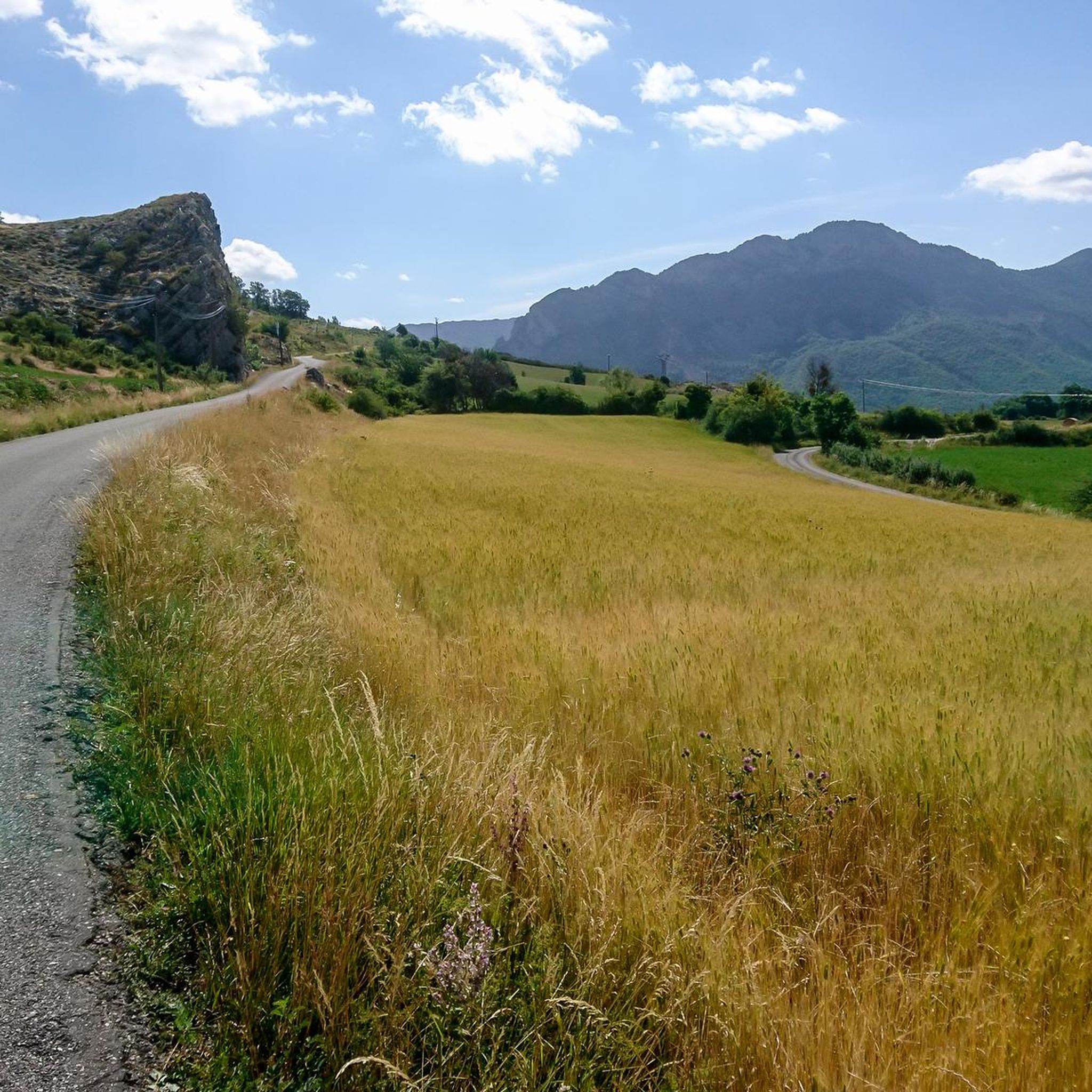
Hiking around Saint-Geniez offers diverse landscapes, characterized by rolling hills, forested areas, and river valleys. The region provides a range of elevation changes, from gentle slopes to more challenging ascents. This varied topography supports a network of trails suitable for different hiking experiences.
Best hiking trails around Saint-Geniez
- The most popular hiking route is Dromon Loop, a 8.3 miles (13.4 km) trail that takes 4 hours 14 minutes to complete. This moderate route features varied terrain and scenic views. …
Last updated: September 29, 2026
4.4
(5)
28
hikers
13.4km
04:14
480m
480m
Moderate hike. Good fitness required. Mostly accessible paths. Sure-footedness required.
4.2
(5)
26
hikers
3.28km
01:00
80m
80m
Moderate hike. Great for any fitness level. Mostly accessible paths. Sure-footedness required.

5.0
(7)
68
hikers
24.0km
08:29
1,130m
1,130m
Hard hike. Very good fitness required. Mostly accessible paths. Sure-footedness required.
4.5
(4)
20
hikers
13.8km
04:38
550m
550m
Hard hike. Good fitness required. Sure-footedness, sturdy shoes and alpine experience required.
5.0
(3)
18
hikers
5.33km
02:25
320m
320m
Moderate hike. Good fitness required. Mostly accessible paths. Sure-footedness required.
Get access to more routes and recommendations from other explorers.
Already have an account?
Our route recommendations are based on thousands of hikes, rides, and runs completed by other people on komoot.
Start today with a free account
Your next adventure awaits.

Other adventures around Saint-Geniez

Tips from the Community

A piece of ancient history awaits you here
0
0

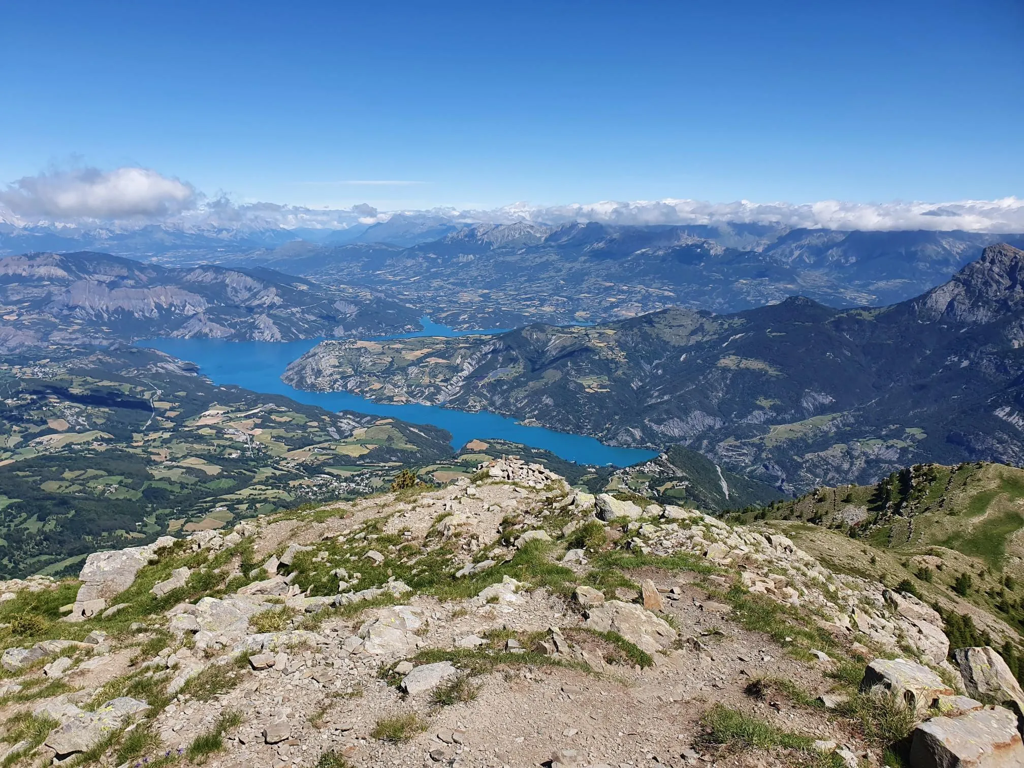
From the summit, you can see Sisteron, the Durance and Sasse valleys and the peaks of Dévoluy.
2
0

A few steps from the Written Stone there is a small path which progresses uphill over a pleasant section. As you climb, the vegetation parts to open up beautiful perspectives.
1
0
This stone was engraved in the 6th century to recall the passage of Dadanus, a powerful man. This Christian, correspondent of Saint-Augustin and prefect of Gaul, had come to retire to Saint-Geniez to found a “City of God” in the valley.
1
0
Here, the trail passes a few meters from the Vanson. A tributary of the Durance, it is therefore a sub-tributary of the Rhône. There is an old destroyed bridge as well as a small footbridge. This place allows you to treat yourself to a pleasant moment of freshness.
1
0
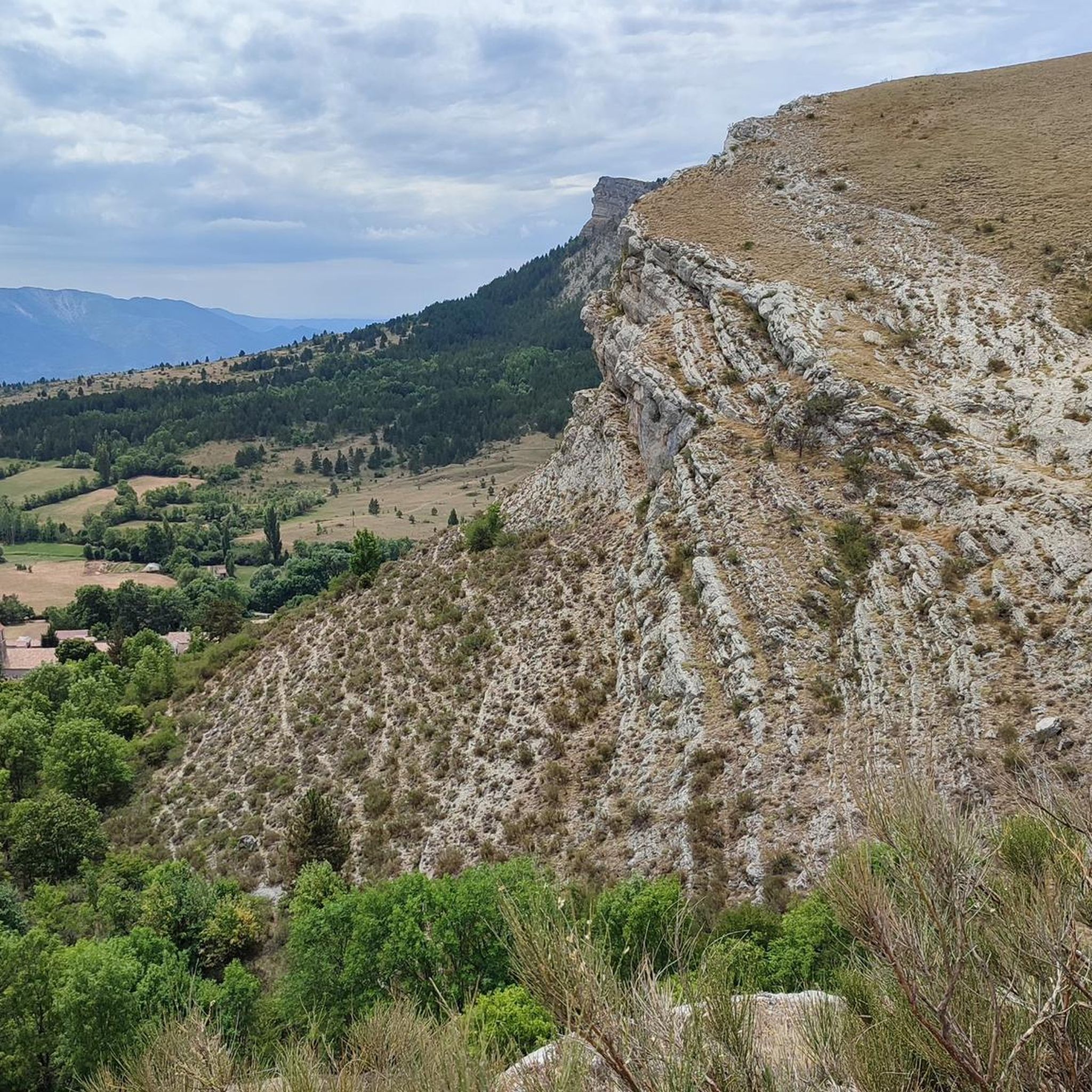
Magnificent path which winds under the summit of Sabot towards Vanson. This beautiful portion offers an alternation between a rocky and vegetal environment.
1
0
Nestled in the mountains, this village of ancient residences has a picturesque charm. This haven of peace is located close to some of the most remarkable tourist sites and monuments in the Alpes-de-Haute-Provence.
1
0
Frequently Asked Questions
How many hiking trails are available around Saint-Geniez?
There are over 120 hiking trails in the Saint-Geniez area, offering a wide range of options from easy strolls to challenging mountain ascents. You'll find routes suitable for various fitness levels and preferences.
Are there any easy, family-friendly hiking trails in Saint-Geniez?
Yes, Saint-Geniez offers several easy trails suitable for families. For a gentle walk that explores local historical sites, consider the Sentier de la Pierre Écrite, which is 2.0 miles (3.3 km) long with gentle gradients.
What kind of terrain can I expect on hikes around Saint-Geniez?
The terrain around Saint-Geniez is diverse, characterized by rolling hills, dense forested areas, and picturesque river valleys. You'll encounter a range of elevation changes, from gentle slopes perfect for leisurely walks to more challenging ascents in the mountainous parts of the region.
Are there any challenging hikes for experienced trekkers?
Yes, for experienced hikers seeking a challenge, the region offers more demanding routes. The Les Monges – Coste Belle Summit loop from Authon is a difficult 14.8 miles (23.9 km) trail leading through mountainous terrain, often taking nearly 8 hours to complete. Another challenging option is the Pierre Écrite Trail – Inscribed Stone loop from Les Bailles-Vieux, a 13.8 miles (22.2 km) route with significant elevation gain.
What are some notable viewpoints or natural attractions to see on a hike?
Many trails offer stunning views and access to natural attractions. You can find highlights such as the Les Monges summit, the Coste Belle Summit, and the View of Sisteron and the Rocher de la Baume. The Inscribed Stone is also a unique historical site along some routes.
Are there any circular hiking routes in the Saint-Geniez area?
Yes, many routes in Saint-Geniez are circular, allowing you to start and end at the same point. A popular moderate circular route is the Dromon Loop, which covers 8.3 miles (13.4 km) and features varied terrain and scenic views. Another option is the View of the mountains – Saint-Geniez loop from Saint-Geniez.
What do other hikers say about the trails in Saint-Geniez?
The trails in Saint-Geniez are highly rated by the komoot community, with an average score of 4.6 stars from over 360 reviews. Hikers often praise the varied landscapes, well-maintained paths, and the sense of tranquility found in the region's forested slopes and river valleys.
Is public transport available to access hiking trailheads?
While some trailheads might be accessible via local bus services, public transport options can be limited in this rural region. It is generally recommended to use a car for greater flexibility in reaching various starting points for hikes around Saint-Geniez.
What is the best time of year to go hiking in Saint-Geniez?
The best time for hiking in Saint-Geniez is typically from spring through autumn (April to October). During these months, the weather is generally mild and pleasant, with vibrant flora in spring and colorful foliage in autumn. Summer offers warmer temperatures, ideal for higher altitude trails.
Are there any cafes or places to eat near the hiking trails?
Saint-Geniez and its surrounding villages offer a few local establishments where you can find refreshments or a meal. It's advisable to check opening hours in advance, especially in smaller hamlets, and to carry sufficient water and snacks, particularly on longer routes.
Are dogs allowed on the hiking trails in Saint-Geniez?
Generally, dogs are welcome on most hiking trails in the Saint-Geniez area, provided they are kept under control, especially when passing through agricultural land or near livestock. Always carry bags to clean up after your dog and ensure they have enough water, particularly on warmer days.
Most popular routes around Saint-Geniez
Most popular attractions around Saint-Geniez

Get inspired with the komoot mobile app


Explore more
Browse the best Hikes in other regions.
