The best cycling routes around Valavoire
4.7
(36)
452
riders
30
rides
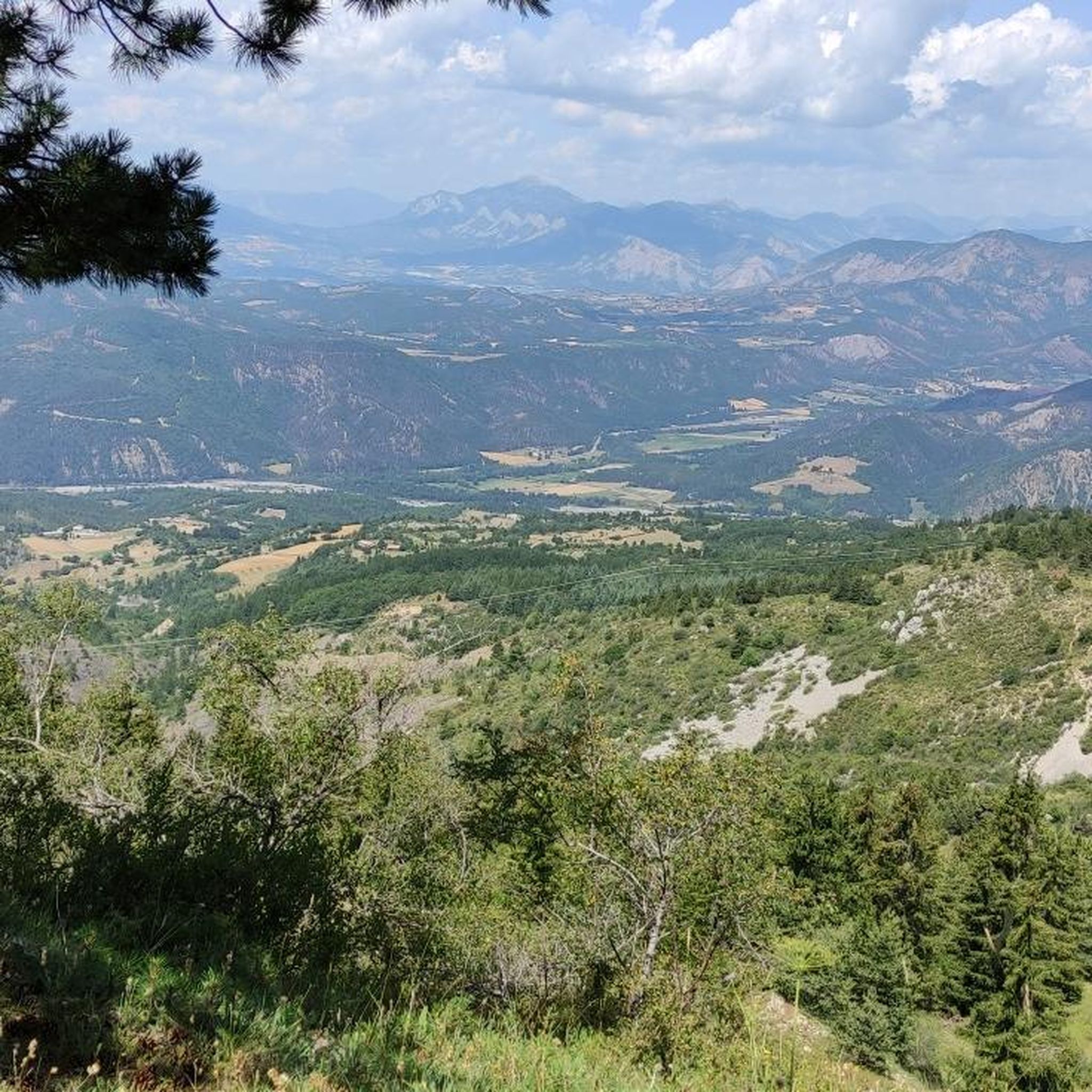
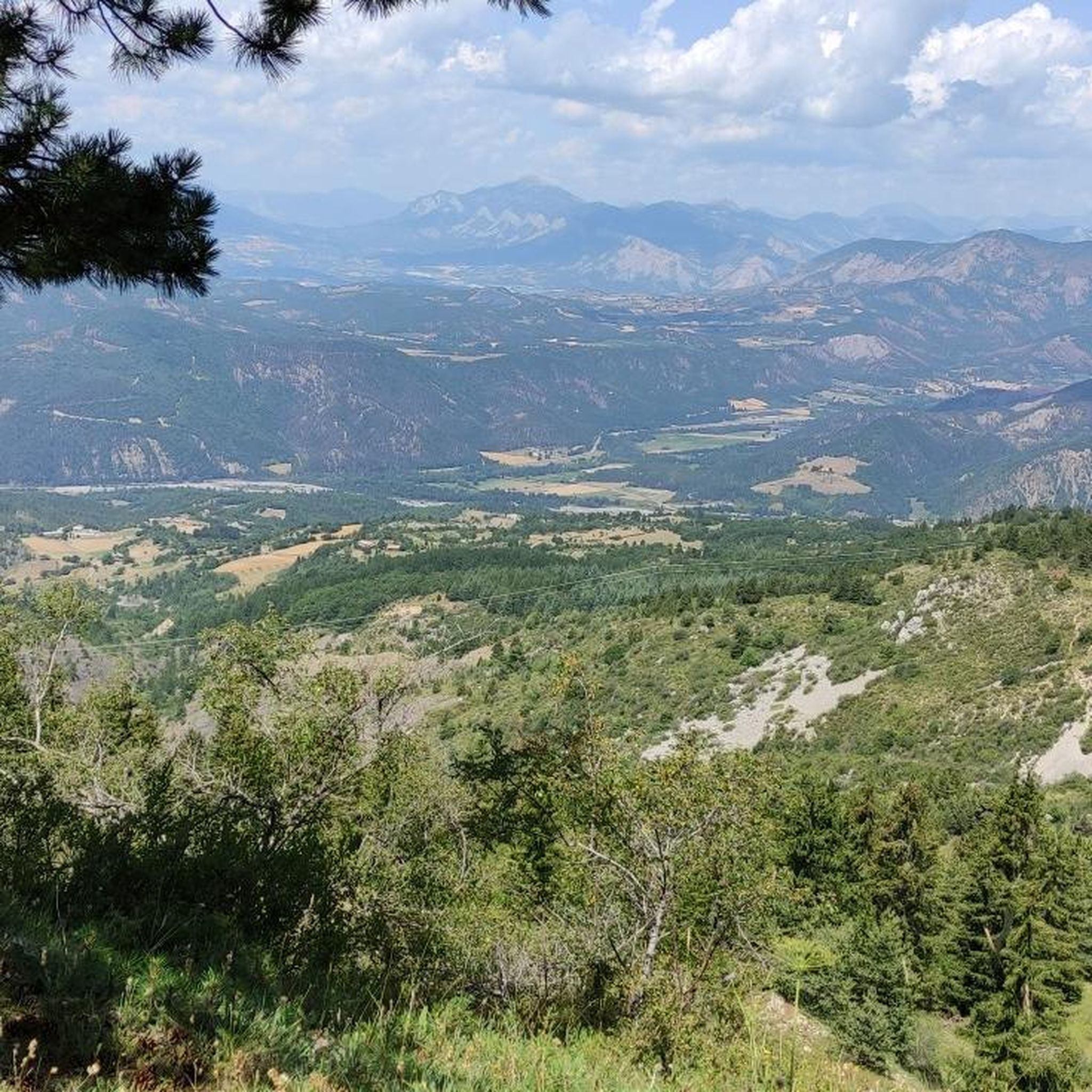
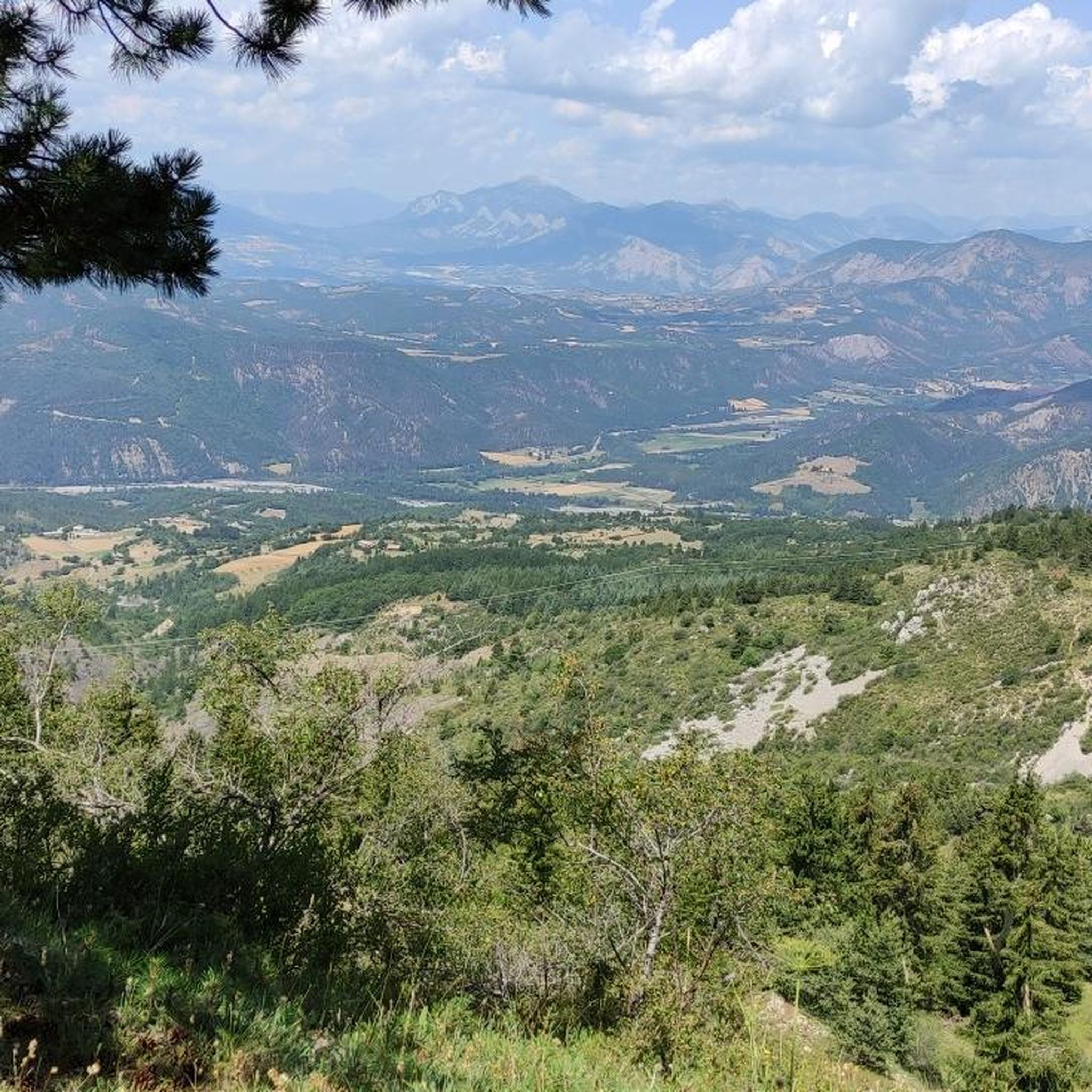
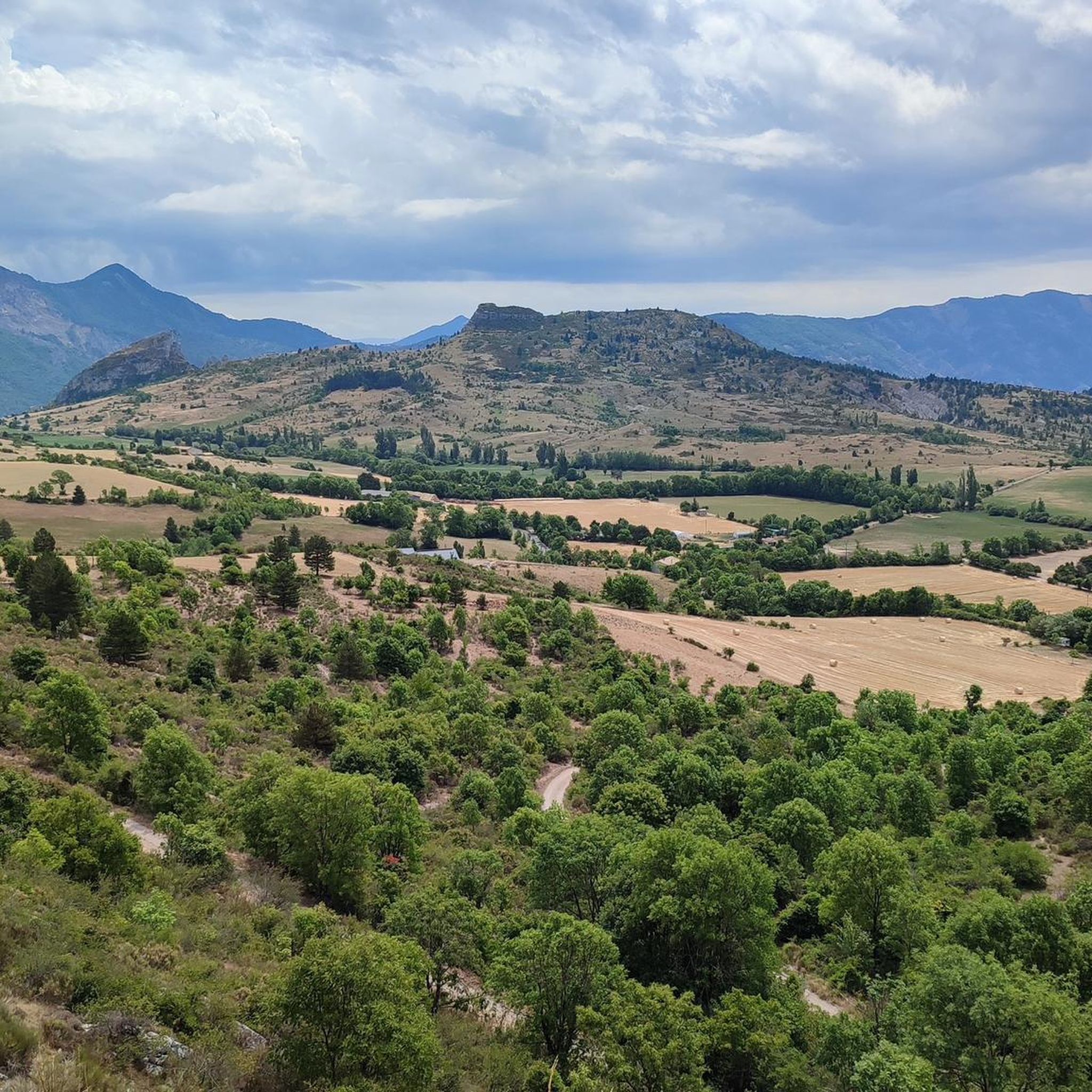
Touring cycling around Valavoire offers diverse landscapes within the Alpes-de-Haute-Provence, characterized by varied terrain suitable for different cycling preferences. The region features a mix of forest paths, mountain pastures, and significant ascents, providing both gentle stretches and challenging climbs. Situated within the Digne Pre-Alps, Valavoire's routes often include gradients averaging 5.9% over several miles, with some sections exceeding 10%. This environment supports a range of cycling experiences, from road cycling to more demanding routes.
Best touring cycling routes around Valavoire
…Last updated: September 28, 2026
5.0
(1)
7
riders
42.5km
03:22
960m
960m
Hard bike ride. Very good fitness required. Some segments of this route may be unpaved and difficult to ride.
5.0
(1)
4
riders
38.9km
03:27
1,060m
1,060m
Hard bike ride. Very good fitness required. Some segments of this route may be unpaved and difficult to ride.

4.6
(10)
69
riders
43.8km
02:46
510m
510m
Hard bike ride. Very good fitness required. Mostly paved surfaces. Suitable for all skill levels.
4.5
(4)
13
riders
57.7km
04:15
1,050m
1,050m
Hard bike ride. Very good fitness required. Mostly paved surfaces. Suitable for all skill levels.
15
riders
31.0km
02:14
650m
650m
Hard bike ride. Very good fitness required. Mostly paved surfaces. Suitable for all skill levels.
Get access to more routes and recommendations from other explorers.
Already have an account?
Our route recommendations are based on thousands of hikes, rides, and runs completed by other people on komoot.
Start today with a free account
Your next adventure awaits.
Tips from the Community

impressive from below. The tunnel, however, hides part of the view
0
0

Here you can stroll and go into one or the other shop.
0
0

A piece of ancient history awaits you here
0
0

Very nice town for a visit and a coffee break.
0
0


This road takes you to Camping Le Clot de Jay, a great way to warm up your legs. If you prefer running, this is a slightly more challenging section of a pleasant road, with only a slight incline.
0
0
Magnificent citadel facing the Rocher de la Baume. The coffee break in Sisteron is very pleasant.
0
0
Frequently Asked Questions
How many touring cycling routes are available around Valavoire?
Valavoire offers a wide selection of touring cycling routes, with over 25 different options to explore. These routes cater to various skill levels, including 2 easy, 4 moderate, and 20 difficult trails, ensuring there's something for every touring cyclist.
What kind of terrain can I expect on touring cycling routes in Valavoire?
The terrain around Valavoire is diverse, ranging from forest paths and mountain pastures to significant ascents. You can expect varied gradients, with some routes averaging 5.9% over several miles and certain sections exceeding 10%, providing a substantial challenge for experienced riders. The region is nestled within the Digne Pre-Alps, offering dramatic backdrops for your rides.
Are there any circular touring cycling routes in Valavoire?
Yes, Valavoire features several circular touring cycling routes. For instance, the challenging Col de Grele – The Sasse loop from Clamensane is a popular option, covering 27.2 miles (43.7 km) through the Digne Pre-Alps. Another great loop is The Vanson – Queen Jeanne Bridge loop from Le Vançon, which is 35.9 miles (57.9 km) long and features historical elements.
What are some notable natural features or viewpoints I can see while cycling?
Valavoire is rich in natural beauty and offers breathtaking viewpoints. You might encounter majestic peaks like Les Monges, the highest point of the Digne Pre-Alps, offering expansive 360-degree views. Another stunning panorama can be found from Montagne de Jouère, which provides views extending to Mont Ventoux and the Écrins massif on clear days. The region also features the scenic The Vanson river.
Are there any historical or cultural attractions accessible by touring bike?
Absolutely. Valavoire and its surroundings are dotted with historical and cultural sites. You can visit the 16th-century Queen Jeanne Bridge spanning the Vançon river. The Roman Aqueduc des Sagnieres is another fascinating historical monument showcasing ancient ingenuity. The village of Valavoire itself, perched at 1117 meters, boasts a 13th-century Romanesque church and the Château de la Molle.
Are there touring cycling routes suitable for beginners or families in Valavoire?
While many routes in Valavoire are challenging, there are options for less experienced cyclists. The guide includes 2 easy routes and 4 moderate routes, which might be more suitable for beginners or families looking for a less strenuous ride. These routes often traverse forest paths and mountain pastures, providing a gentler introduction to the region's cycling opportunities.
What is the best time of year to go touring cycling in Valavoire?
The best time to go touring cycling in Valavoire is generally between May and October. During these months, the weather is typically more favorable for outdoor activities, and the mountain passes are usually clear. This period allows cyclists to fully enjoy the stunning views and varied terrain without the challenges of winter conditions.
What makes the touring cycling routes in Valavoire challenging?
The challenging nature of Valavoire's touring cycling routes stems from its location within the Digne Pre-Alps. Cyclists will encounter significant elevation gains, with some routes featuring climbs averaging 5.9% over several miles and sections reaching over 10%. Routes like Tour de Fontbelle, for example, involve over 1000 meters of ascent, providing a substantial test for endurance and climbing skills.
What do other cyclists say about the touring routes in Valavoire?
The touring cycling routes in Valavoire are highly rated by the komoot community, with an impressive average score of 4.7 stars from more than 20 reviews. Cyclists often praise the diverse landscapes, the mix of challenging climbs and scenic stretches, and the opportunity to explore the dramatic Digne Pre-Alps. Over 300 touring cyclists have used komoot to discover the varied terrain of Valavoire.
Are there any specific routes recommended for experienced touring cyclists seeking a challenge?
For experienced touring cyclists looking for a significant challenge, Valavoire offers several demanding routes. The Fontbelle Tour from Sisteron is a difficult 26.4-mile (42.5 km) trail known for its challenging climbs and panoramic views. Another excellent option is the La Melve – The Sasse loop from La Motte-du-Caire, a 43.8 km route with over 500 meters of elevation gain.
Are there any interesting caves or geological features to explore near the cycling routes?
Yes, for those interested in geological features, the region offers unique experiences. The Le Trou d'Argent cave, also known as Grotte du Trou de l'Argent - Montagne de la Baume, provides an adventurous exploration opportunity, though it requires lights and some crawling. The area around it also offers magnificent viewpoints of Sisteron and the surrounding valleys.
Most popular attractions around Valavoire

Get inspired with the komoot mobile app


Explore more
Browse the best Cycling routes in other regions.
