The best running trails in Westlich Raron
4.4
(45)
509
runners
47
runs
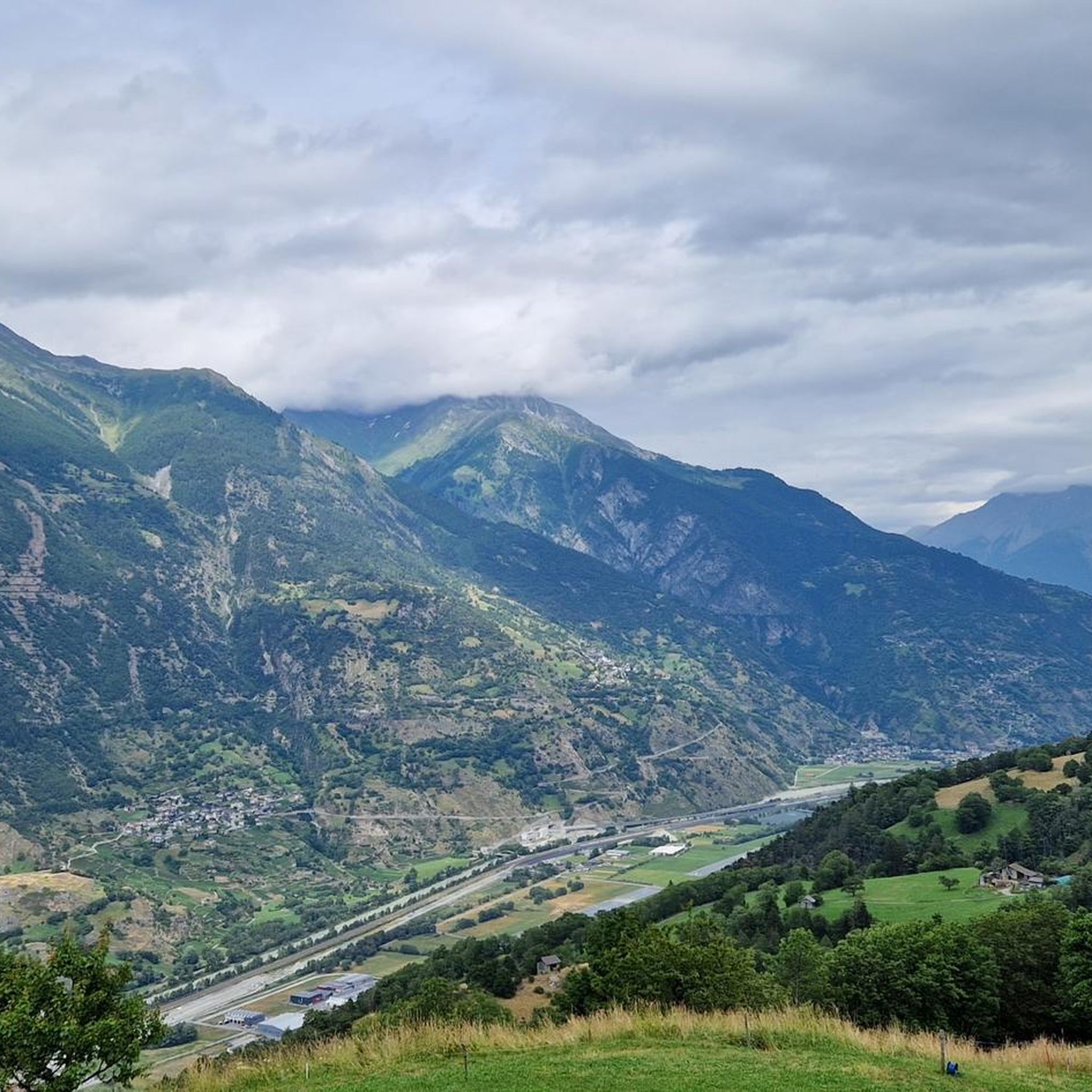
Jogging routes in Westlich Raron traverse a landscape characterized by alpine valleys, mountain lakes, and historic water channels. The region features a mix of terrain, from gentle paths along valley floors to more challenging ascents through forested areas and open slopes. Runners can explore routes that offer views of the surrounding peaks and traditional settlements.
Best jogging routes in Westlich Raron
- The most popular jogging route is Schwarzsee (Lötschental) – Faflersee loop from Wiler (Lötschen), a 11.9 miles (19.2…
Last updated: October 1, 2026
52
runners
13.6km
01:29
140m
140m
Moderate run. Good fitness required. Mostly paved surfaces. Suitable for all skill levels.
36
runners
Hard run. Very good fitness required. Sure-footedness, sturdy shoes and alpine experience required.

34
runners
23.7km
02:35
290m
290m
Hard run. Very good fitness required. Mostly paved surfaces. Suitable for all skill levels.
4.0
(2)
36
runners
7.56km
00:48
20m
20m
Moderate run. Good fitness required. Mostly paved surfaces. Suitable for all skill levels.
29
runners
8.23km
00:51
30m
30m
Moderate run. Good fitness required. Mostly paved surfaces. Suitable for all skill levels.
29
runners
6.98km
00:44
10m
10m
Moderate run. Good fitness required. Mostly paved surfaces. Suitable for all skill levels.
2.0
(1)
12
runners
5.31km
00:39
210m
200m
Moderate run. Good fitness required. Mostly paved surfaces. Suitable for all skill levels.
5.0
(2)
12
runners
Hard run. Very good fitness required. Sure-footedness, sturdy shoes and alpine experience required.
10
runners
30.6km
04:49
1,350m
1,350m
Hard run. Very good fitness required. Sure-footedness, sturdy shoes and alpine experience required.
11
runners
7.39km
00:53
90m
90m
Hard run. Good fitness required. Sure-footedness, sturdy shoes and alpine experience required.
Get access to more routes and recommendations from other explorers.
Already have an account?
Our route recommendations are based on thousands of hikes, rides, and runs completed by other people on komoot.
Start today with a free account
Your next adventure awaits.
Popular around Westlich Raron
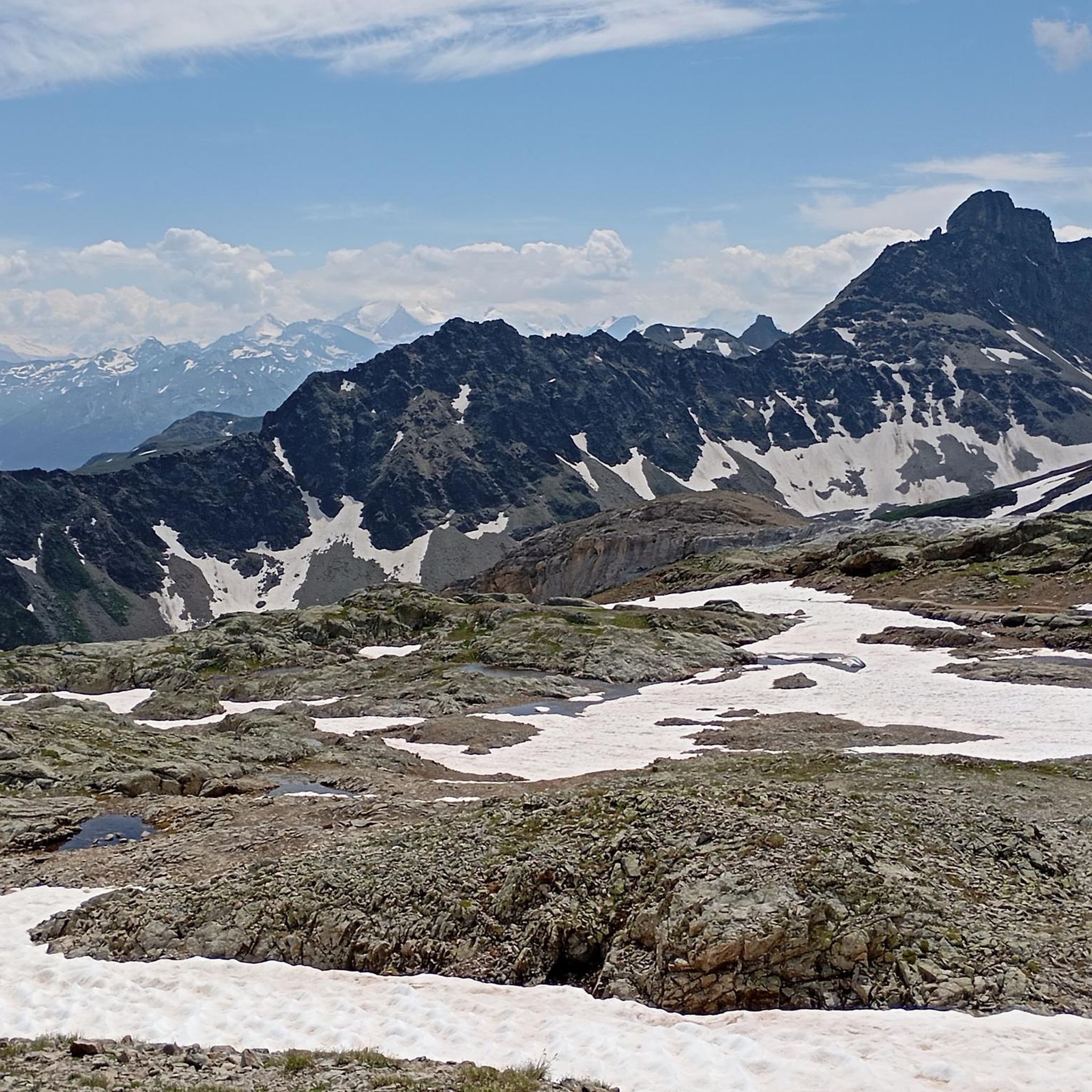
Running Trails around Ferden

Running Trails around Blatten
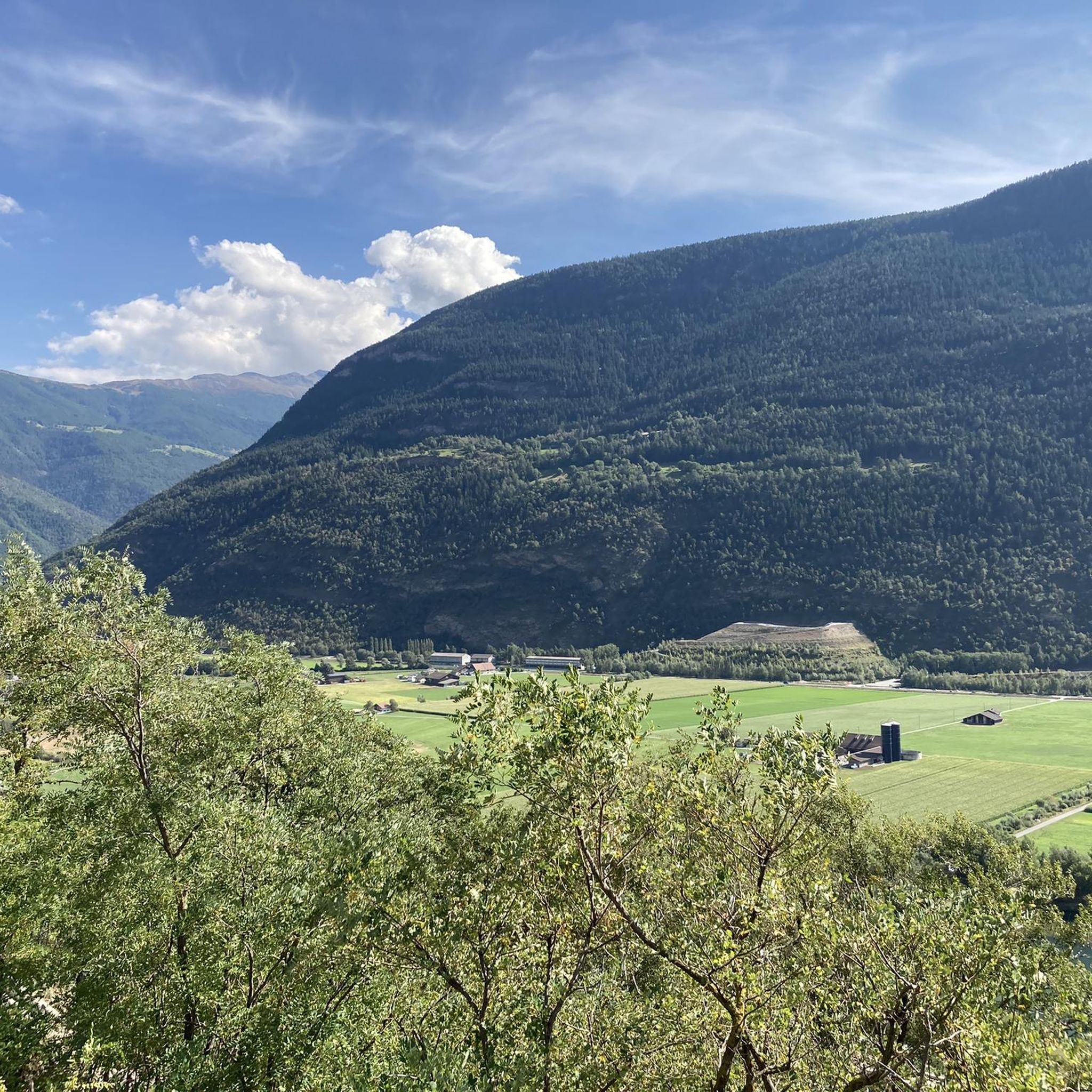
Running Trails around Ausserberg
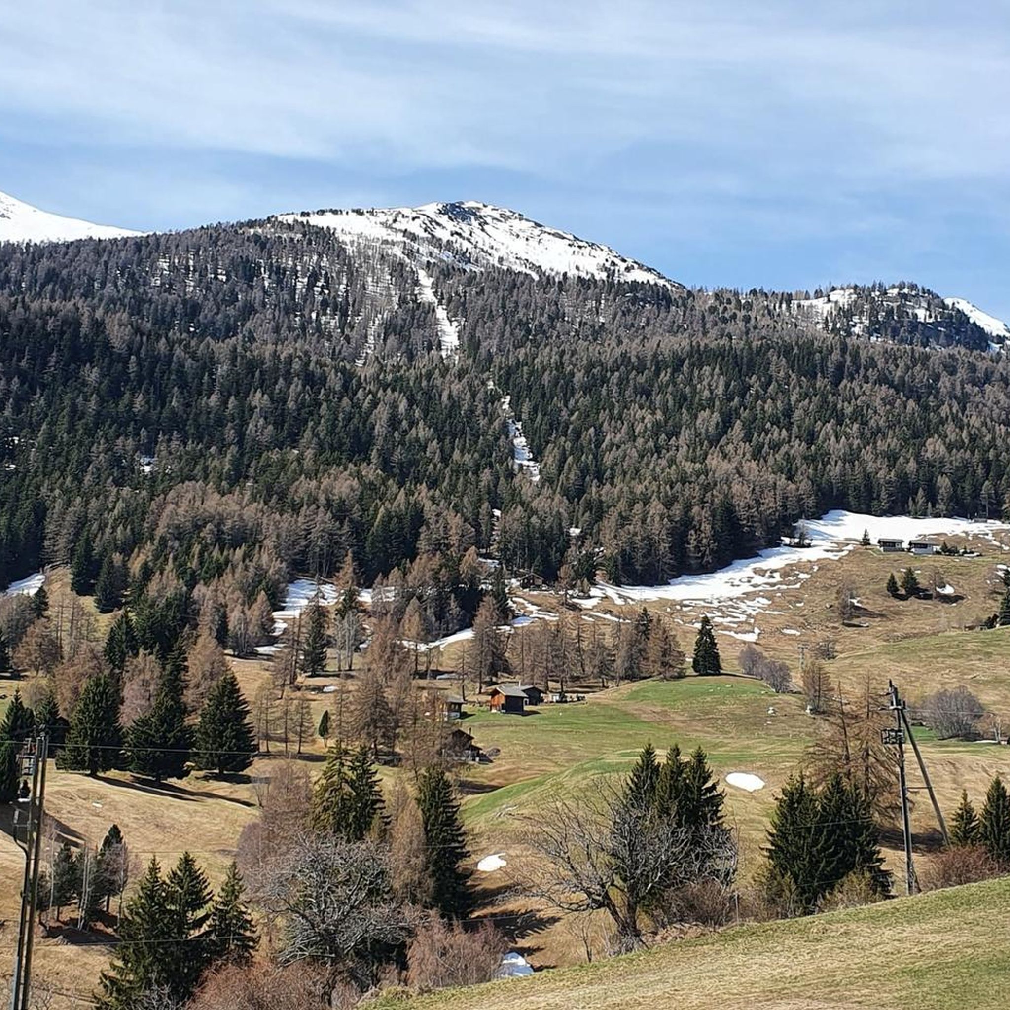
Running Trails around Eischoll
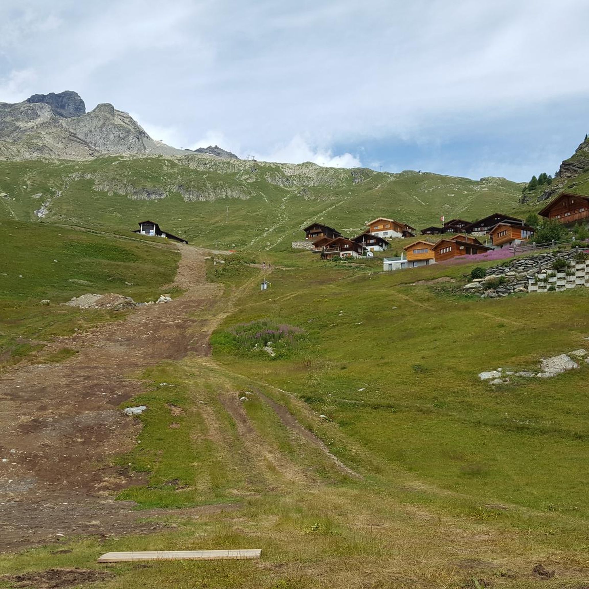
Running Trails around Kippel
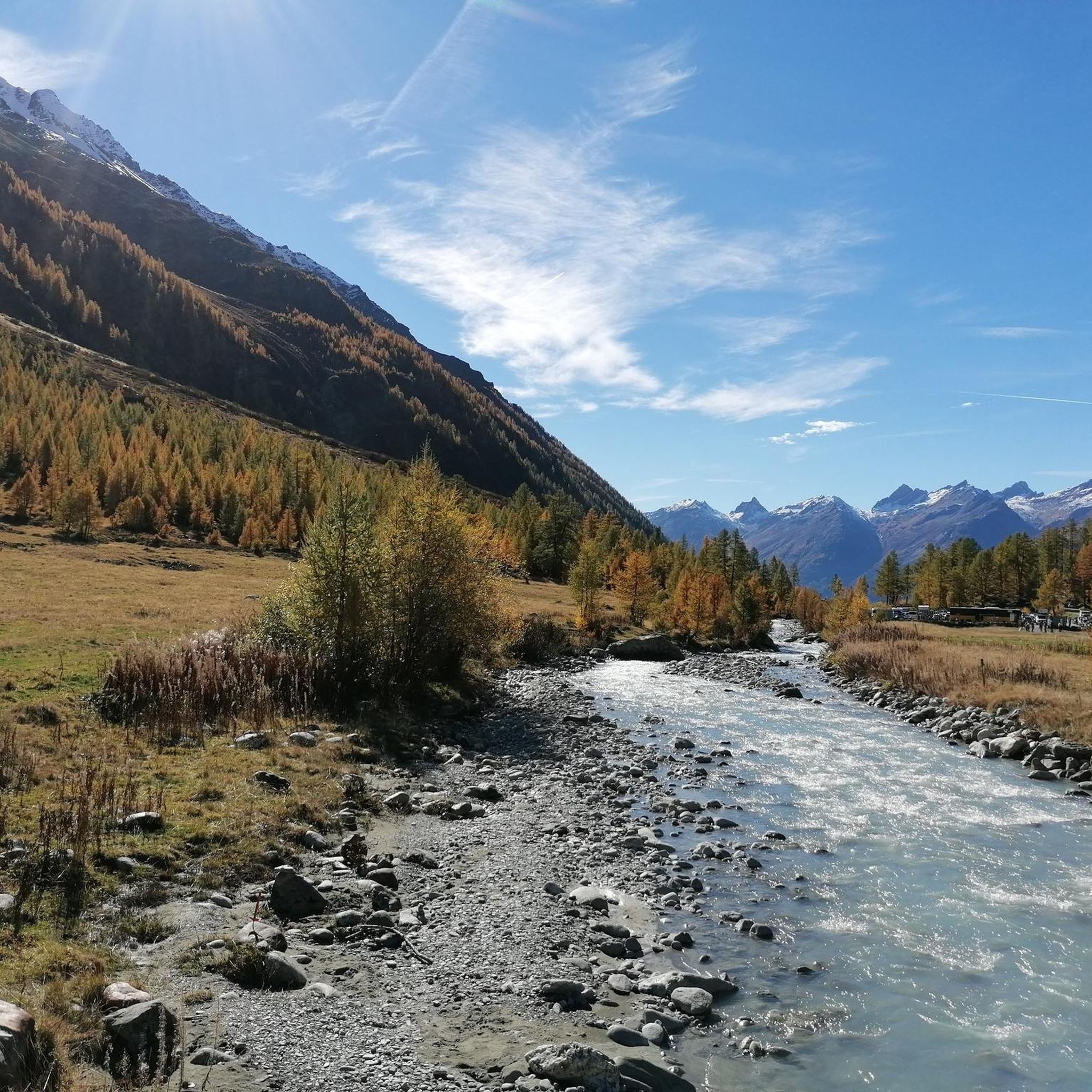
Running Trails around Wiler (Lötschen)
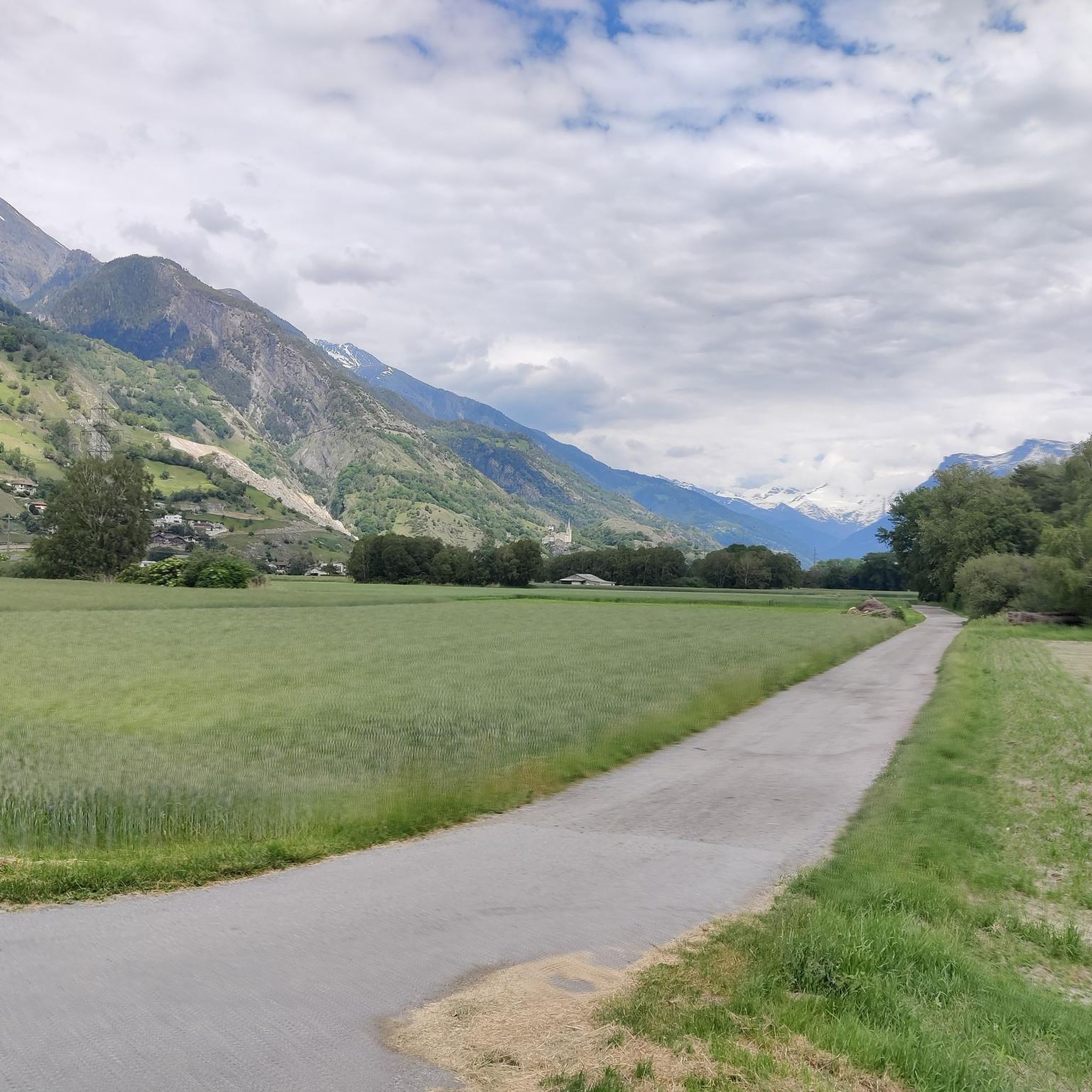
Running Trails around Niedergesteln
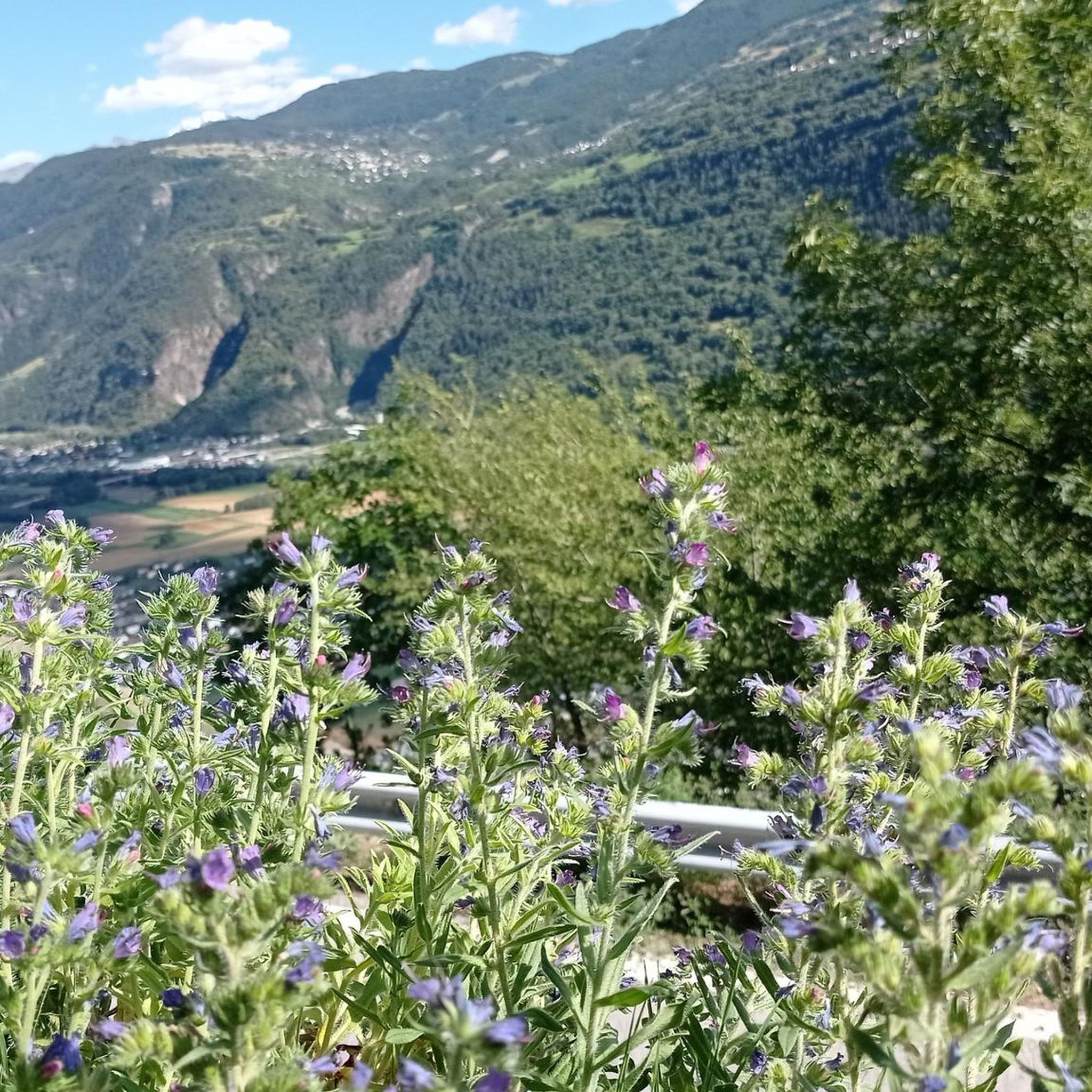
Running Trails around Steg-Hohtenn
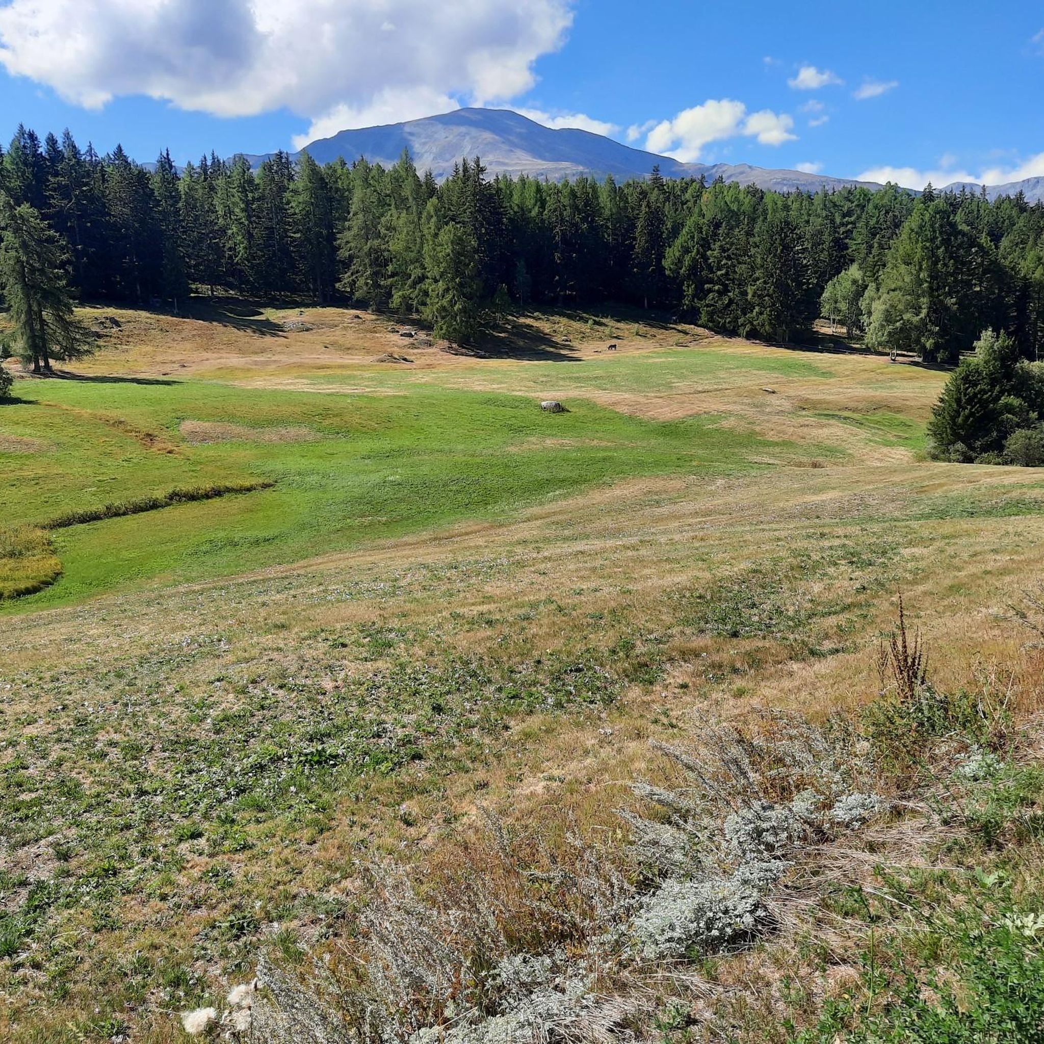
Running Trails around Bürchen
Running Trails around Unterbäch
Other adventures in Westlich Raron


Tips from the Community

The Rock Church is one of Europe's youngest and most impressive examples of millennia-old rock architecture. The church interior in the castle hill was artificially carved out of the rock. With 500 seats, St. Michael's Church is the largest modern place of worship located entirely inside a rock. This architectural feat is unique, especially as beauty and functionality, nature and culture, tradition and modernity are harmoniously combined here. The successful fusion of the old and new church contributes significantly to the interesting village scenery.
0
0

West of Visp station, the Vispa flows into the Rhône, which in German-speaking Upper Valais is traditionally called the Rotten. The approximately 8.5-kilometer-long Vispa is formed in Stalden by the confluence of the Mattervispa from the Mattertal valley and the Saaservispa from the Saas valley. Both tributaries carry milky-turquoise water from the glacier-covered high mountain regions around Zermatt and Saas-Fee. After its short course through the Vispertal valley, the Vispa finally joins the significantly wider Rotten. From here, the water continues its journey through the Valais and Lake Geneva, before the Rhône flows on through France to the Mediterranean Sea. The confluence is also a beautiful viewpoint and a fitting place to say goodbye to the Valais once more after a hike through the mountain world around Zermatt. It impressively shows how the water from the Valais Alps shapes the valleys and landscapes far beyond the high mountains.
0
0


You will repeatedly find rest benches along the cultural path. Here you can pause and enjoy the magnificent view.
0
0
Along the cultural path, you will repeatedly find exciting details: At this point, the path is accompanied by a small water pipe.
0
0

Wonderfully situated, high above the Lötschental, easily accessible by cable car from Wiler
0
1

Very good gravel road
0
0
Frequently Asked Questions
How many running routes are available in Westlich Raron?
Westlich Raron offers a diverse network of nearly 50 running routes. These trails cater to various fitness levels, ranging from easy valley runs to more challenging mountain paths.
Are there easy running routes for beginners in Westlich Raron?
Yes, while many routes are moderate to difficult, there are options suitable for beginners. For instance, the Rottundorna loop from Gampel is a moderate 4.9-mile (7.9 km) path with minimal elevation gain, making it a good choice for those starting out or looking for a less strenuous run.
Can I find circular running routes in Westlich Raron?
Absolutely. Many of the running paths in Westlich Raron are circular, allowing you to start and end at the same point. A popular example is the Schwarzsee (Lötschental) – Faflersee loop from Wiler (Lötschen), which takes you past two alpine lakes.
What kind of scenery can I expect on the running trails in Westlich Raron?
Runners in Westlich Raron can expect stunning alpine scenery. The routes traverse mountain valleys, pass by pristine alpine lakes like Schwarzsee (Lötschental) and Grundsee, and follow historic water channels known as Suonen. You'll also encounter forested areas, open slopes, and traditional settlements with views of the surrounding peaks.
Are there any running routes accessible by public transport in Westlich Raron?
Yes, some routes are conveniently accessible by public transport. The Ausserberg railway station – Suonen Water Channel loop from Ausserberg is a great example, starting directly from Ausserberg railway station, making it easy to reach without a car.
What are some interesting sights or landmarks along the running paths?
Many running paths in Westlich Raron offer points of interest. You might pass by impressive structures like the Bietschtal Bridge or the Luogelkin Viaduct. Natural highlights include the serene Schwarzsee (Lötschental) and the dramatic Joli Gorge.
Are there any dog-friendly running options in Westlich Raron?
Many trails in Westlich Raron are suitable for running with dogs, especially those in less populated areas or along wider paths. It's always advisable to keep dogs on a leash, especially near livestock or in protected natural areas, and to check local regulations for specific routes.
When is the best time of year to go running in Westlich Raron?
The best time for running in Westlich Raron is typically from late spring to early autumn (May to October) when the weather is mild and trails are clear of snow. During winter, some higher-altitude routes may be inaccessible due to snow, but lower valley paths can still be enjoyed, often offering a serene, snowy landscape.
Where can I find parking for running routes in Westlich Raron?
Many trailheads in Westlich Raron, particularly those starting from villages like Gampel, Raron, or Wiler (Lötschen), offer designated parking areas. It's recommended to check specific route details on komoot for information on parking availability at the starting point of your chosen run.
What do other runners say about the trails in Westlich Raron?
The running trails in Westlich Raron are highly regarded by the komoot community, boasting an average rating of 4.4 stars from over 40 reviews. Runners often praise the diverse terrain, from peaceful valley floors to challenging mountain ascents, and the stunning natural beauty of the alpine landscape.
Are there any longer, more challenging running routes for experienced runners?
Yes, experienced runners will find plenty of challenging options. Routes like the Grundsee – Schwarzsee (Lötschental) loop from Blatten, spanning over 19 miles (30 km) with significant elevation gain, offer a demanding workout amidst spectacular alpine scenery.
Can I find running routes that pass by cafes or places to rest?
Yes, several running routes in Westlich Raron pass through or near traditional villages where you can find cafes and restaurants for a break. For example, routes starting from Gampel or Raron often have amenities nearby. Some trails also lead past mountain huts like Lötschen Pass Hut or Fafleralp, offering opportunities for refreshments.
Most popular routes in Westlich Raron
Most popular attractions in Westlich Raron

Get inspired with the komoot mobile app


Didn’t find what you were looking for?
Check out more Running Trails & Routes throughout Westlich Raron below and find the perfect route in your destination.
Explore more
Browse the best Running Trails & Routes in other regions.
