The best running trails around Mund
4.6
(187)
6,387
runners
205
runs
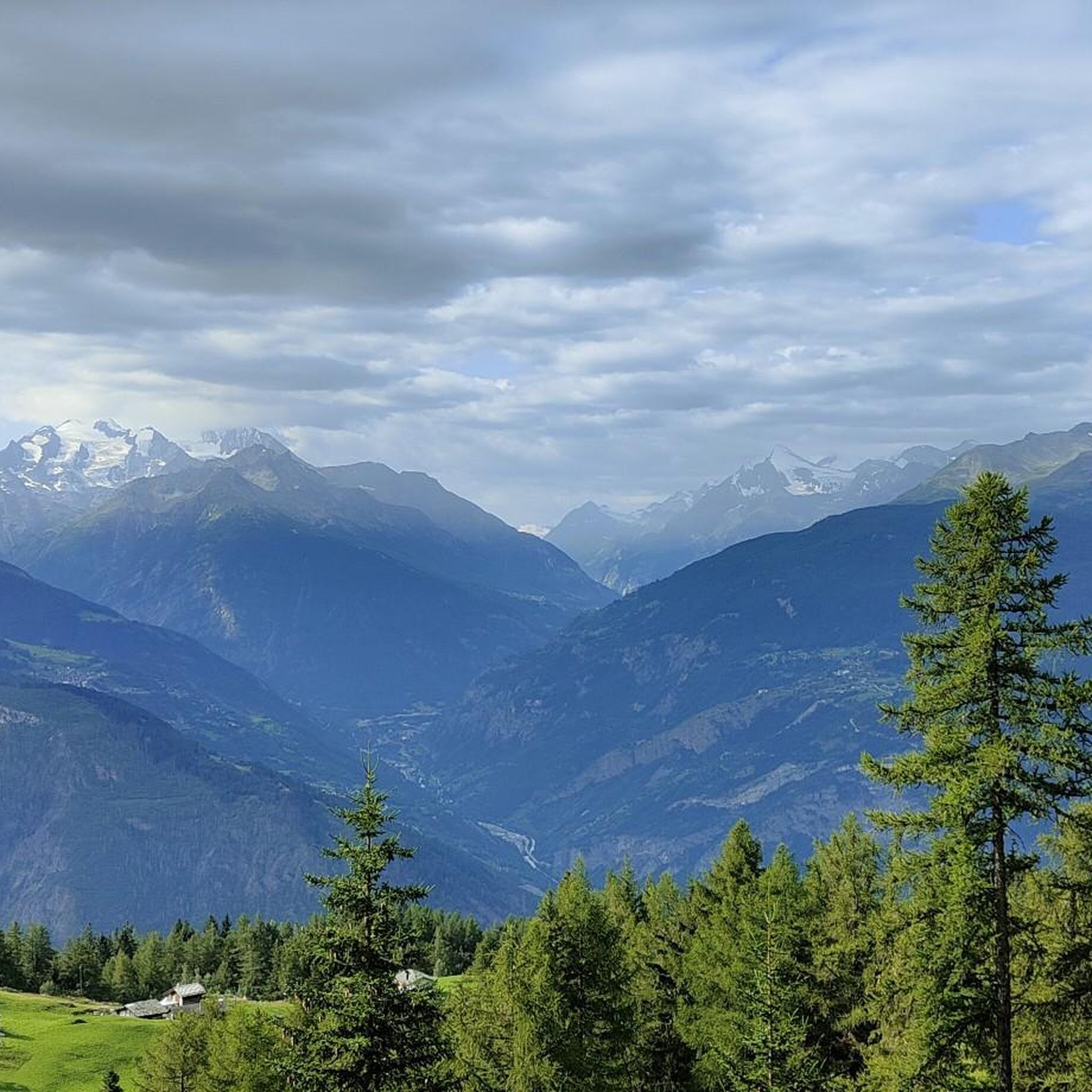
Jogging around Mund offers routes through river valleys and along trails with mountain views. The region features paths near the Saltina River and overlooks the Rhône Valley, providing varied terrain for runners. These routes often include views of the surrounding landscape.
Best jogging routes around Mund
- The most popular jogging route is Bench With Mountain View – Saltina River loop from Mund, a 4.7 miles (7.5 km) trail that takes 46 minutes to complete. This moderate route offers views…
Last updated: October 1, 2026
4.6
(17)
243
runners
7.54km
00:47
30m
30m
Moderate run. Good fitness required. Mostly paved surfaces. Suitable for all skill levels.
158
runners
12.6km
01:18
50m
50m
Moderate run. Good fitness required. Mostly paved surfaces. Suitable for all skill levels.

5.0
(1)
86
runners
44.2km
06:25
1,870m
1,870m
Hard run. Very good fitness required. Sure-footedness, sturdy shoes and alpine experience required.
5.0
(1)
53
runners
Moderate run. Good fitness required. Mostly paved surfaces. Suitable for all skill levels.
5.0
(1)
36
runners
8.50km
00:56
120m
120m
Moderate run. Good fitness required. Mostly paved surfaces. Suitable for all skill levels.
Get access to more routes and recommendations from other explorers.
Already have an account?
Our route recommendations are based on thousands of hikes, rides, and runs completed by other people on komoot.
Start today with a free account
Your next adventure awaits.
Other adventures around Mund

Tips from the Community

The station is located on the Lötschberg mountain line and offers hourly connections towards Spiez - Bern as well as towards Brig.
0
0

You will repeatedly find rest benches along the cultural path. Here you can pause and enjoy the magnificent view.
0
0

A visit is always worthwhile, not just in bad weather. Also very suitable for children.
1
0
Always worth it, not just in bad weather.
1
0

A fantastic thermal spa with direct access from the adjacent campsite. It has something for everyone.
0
1

Ausserberg train station 🚉 is an ideal starting point for hikes along the Lötschberg south ramp. From here you can reach the famous Bietschtal bridge and the picturesque Suonen (historic irrigation canals) 🌊. The hikes offer breathtaking views of the Rhone Valley and the surrounding Alps 🏔️. The region is known for its unique flora and fauna 🌿 and the well-signposted hiking trails.
0
0

Wikipedia writes:The Saltina (from Latin saltare, ‘to jump’) is a left-bank tributary of the upper Rhone (Rotten), which has its source in the Simplon massif. https://de.m.wikipedia.org/wiki/Saltina
2
0

Good sports facilities and refreshment
0
0
Frequently Asked Questions
How many running routes are available around Mund?
There are over 10 dedicated jogging routes around Mund, offering a variety of experiences through river valleys and with mountain views. These routes are highly rated by the komoot community, with an average score of 4.6 stars from over 150 reviews.
Are there any easy jogging routes for beginners in Mund?
While Mund offers a good selection of moderate and difficult routes, there are no routes specifically categorized as 'easy' in this guide. However, many of the moderate routes, such as the Bench With Mountain View – Saltina River loop from Mund, offer relatively gentle elevation changes, making them accessible for those looking for a less strenuous run.
What kind of terrain can I expect on the jogging trails in Mund?
Jogging around Mund is characterized by routes through river valleys, along the Saltina River, and paths near the Rhône Valley. You can expect varied terrain, including trails with mountain views and sections that lead through the area near Naters. The region offers a mix of moderate and difficult paths.
Are there any circular running routes in Mund?
Yes, many of the routes around Mund are circular, providing convenient starting and ending points. Examples include the World Nature Forum in Naters – The Waves Pathway loop from Mund and the Saltina River – St. Sebastian Chapel loop from Mund, both offering scenic loops.
What are some notable natural features or landmarks I can see while running in Mund?
The routes in Mund offer stunning natural beauty, including views of the mountains and the Saltina River valley. You can also explore nearby attractions such as various lakes like Bettmersee or Lüsger Lake. For panoramic vistas, consider routes that pass by viewpoints like Moosfluh Viewpoint - View of the Glacier or Hohfluh View Point.
Are there any longer running routes for experienced runners?
Yes, for experienced runners looking for a longer challenge, routes like the World Nature Forum in Naters – The Waves Pathway loop from Mund, at 7.7 miles (12.3 km), or the Old Village of Naters – Ancient Linden Tree, Naters loop from Mund, at 7.6 miles (12.2 km), provide extended running experiences.
What is the average duration for a jogging route in Mund?
The duration of jogging routes in Mund varies depending on the distance and your pace. For example, the Bench With Mountain View – Saltina River loop from Mund typically takes around 46 minutes, while longer routes like the World Nature Forum in Naters – The Waves Pathway loop from Mund can take over an hour.
Can I find routes with significant elevation changes for a more challenging run?
Absolutely. If you're seeking a more challenging run with notable elevation changes, consider routes classified as 'difficult'. The Trail Above the Rhône Valley – View of Bortelhorn loop from Mund, for instance, features significant ascents and descents, offering a strenuous workout with rewarding views.
What do other runners enjoy most about jogging in Mund?
The komoot community highly rates the jogging routes in Mund, with an average score of 4.6 stars. Reviewers often praise the picturesque mountain views, the serene paths along the Saltina River, and the diverse terrain that caters to different fitness levels.
Are there any routes that offer views of the Rhône Valley?
Yes, several routes provide stunning views of the Rhône Valley. The Trail Above the Rhône Valley – View of Bortelhorn loop from Mund is specifically designed to showcase these panoramic vistas, offering a memorable running experience.
Are there any specific points of interest or villages to explore near the running trails?
Yes, some routes lead you near interesting areas. For example, the Old Village of Naters – Ancient Linden Tree, Naters loop from Mund takes you through the historic village of Naters, allowing you to combine your run with a glimpse of local culture and landmarks.
Most popular attractions around Mund

Get inspired with the komoot mobile app


Explore more
Browse the best Running Trails & Routes in other regions.
