The best mountain hikes around Troistorrents
4.8
(22)
177
hikers
21
hikes
Mountaineering routes around Troistorrents offer diverse and rugged natural landscapes within the Dents du Midi region of Valais, Switzerland. The area is characterized by striking rocky peaks, lush alpine meadows, and mountain streams, providing a stunning backdrop for alpine adventures. Situated at the entrance to the Val d'Illiez, Troistorrents serves as a gateway to numerous challenging and scenic mountain routes within the expansive Valais Alps. This region features prominent peaks and passes, catering to a wide spectrum of mountaineering skill…
Last updated: October 1, 2026
14
hikers
Moderate mountaineering route. Good fitness required. Easily-accessible paths. Suitable for all skill levels.
9
hikers
9.43km
03:44
530m
530m
Moderate mountaineering route. Good fitness required. Mostly accessible paths. Sure-footedness required.

5.0
(2)
7
hikers
13.8km
06:39
1,100m
1,100m
Hard mountaineering route. Very good fitness required. Sure-footedness, sturdy shoes and alpine experience required.
8
hikers
16.7km
05:59
900m
900m
Hard mountaineering route. Very good fitness required. Mostly accessible paths. Sure-footedness required.
3.0
(1)
4
hikers
12.7km
04:23
680m
680m
Moderate mountaineering route. Good fitness required. Mostly accessible paths. Sure-footedness required.
Get access to more routes and recommendations from other explorers.
Already have an account?
Our route recommendations are based on thousands of hikes, rides, and runs completed by other people on komoot.
Start today with a free account
Your next adventure awaits.
Popular around Troistorrents

Alpine Passes Trail in Switzerland – 34 stages of pure mountain fun
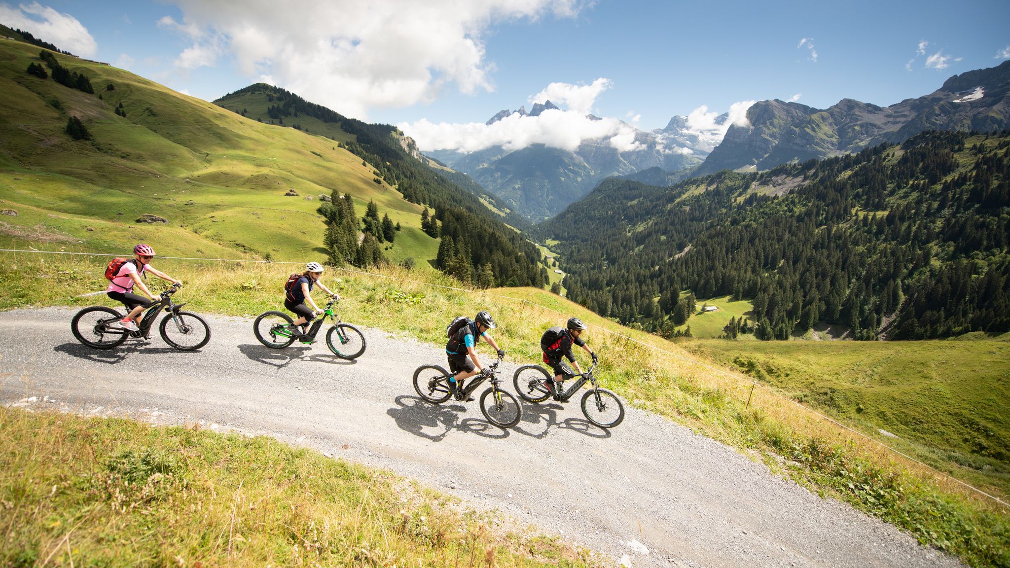
MTB in the Région Dents du Midi – Portes du Soleil
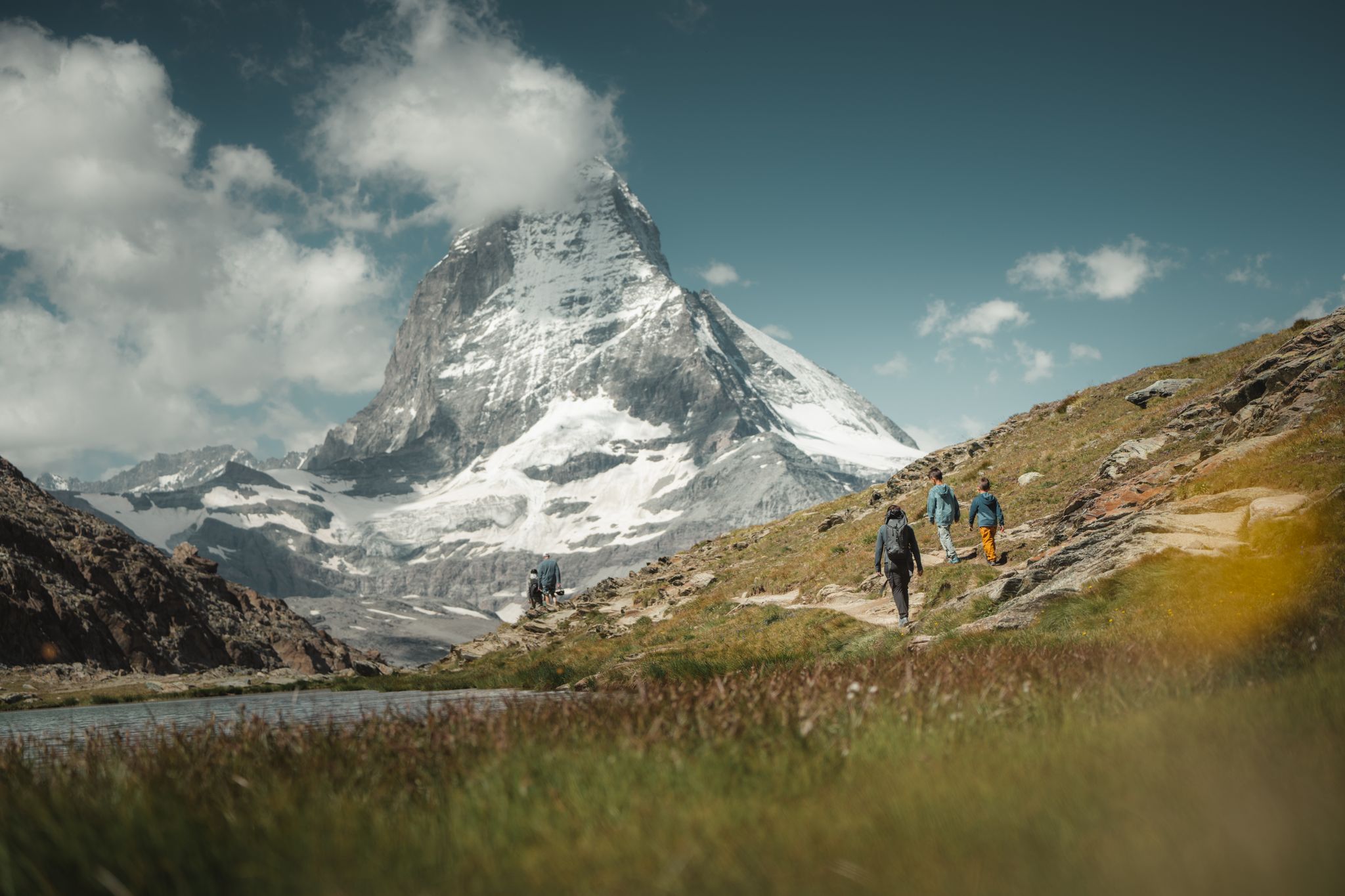
Grandiose glaciers and peaks – panoramic Tours in Switzerland’s Valais
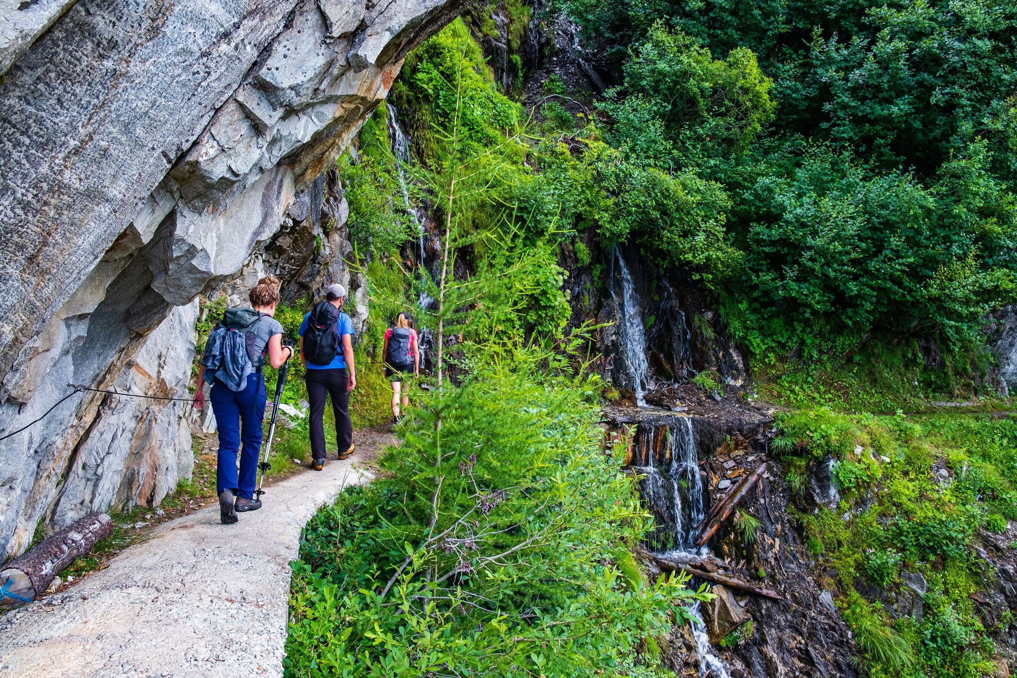
Passes, lakes and alpine huts in Switzerland – discover the Valais
Road Cycling Routes around Troistorrents
Hiking around Troistorrents
MTB Trails around Troistorrents
Cycling around Troistorrents
Running Trails around Troistorrents
Gravel biking around Troistorrents
Other adventures around Troistorrents


Tips from the Community

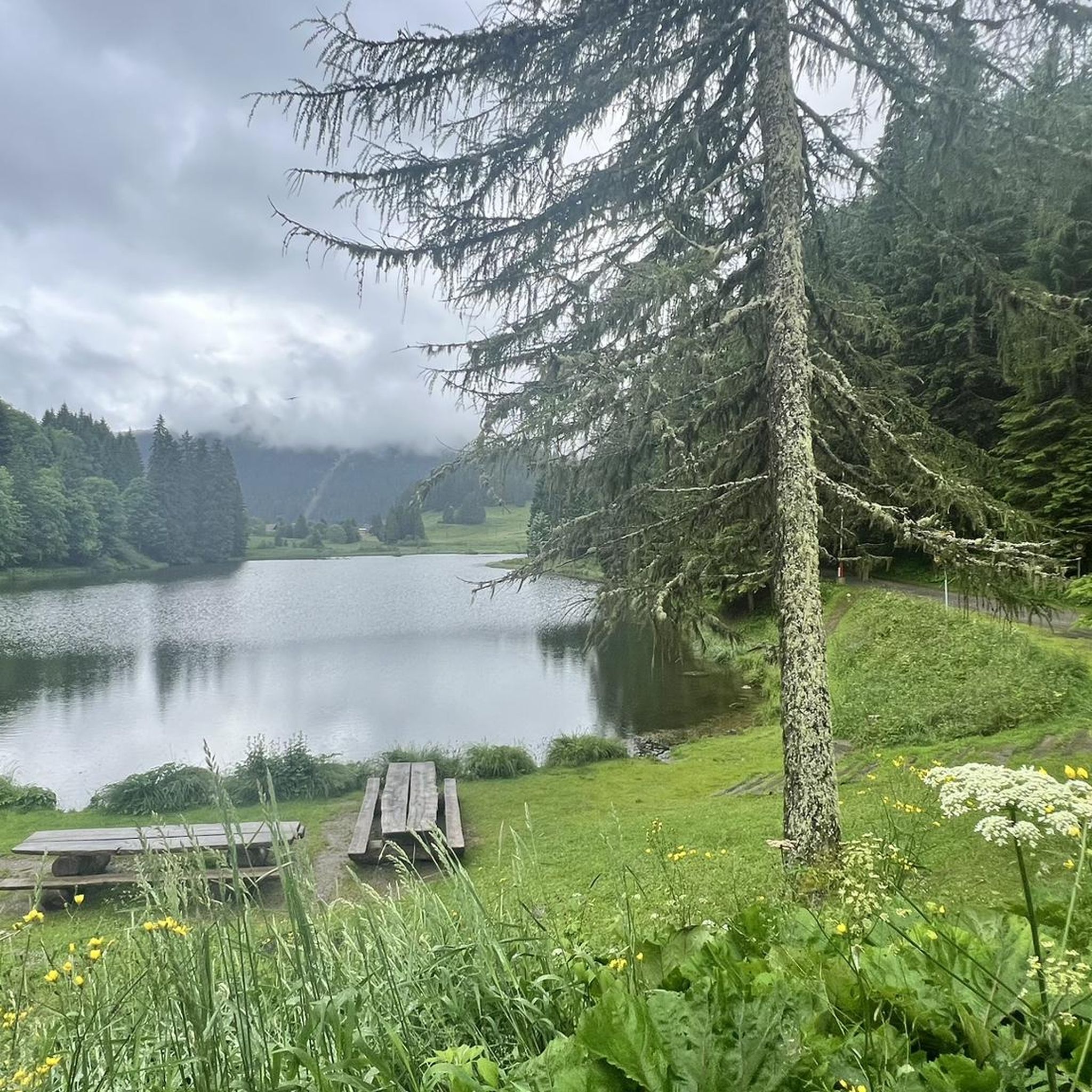
A pretty picnic area, perfectly laid out, also awaits you at the gates of Culet. It is the ideal place to take a break and enjoy an exceptional setting, with breathtaking views of the Dents du Midi, the Dents Blanches, the Grand Combin and Mont-Blanc.
0
0

Since Christine retired, the Refuge de Bonaveau has been managed by others. It is still a recommendable and popular place for a break, or even an overnight stay.
0
0


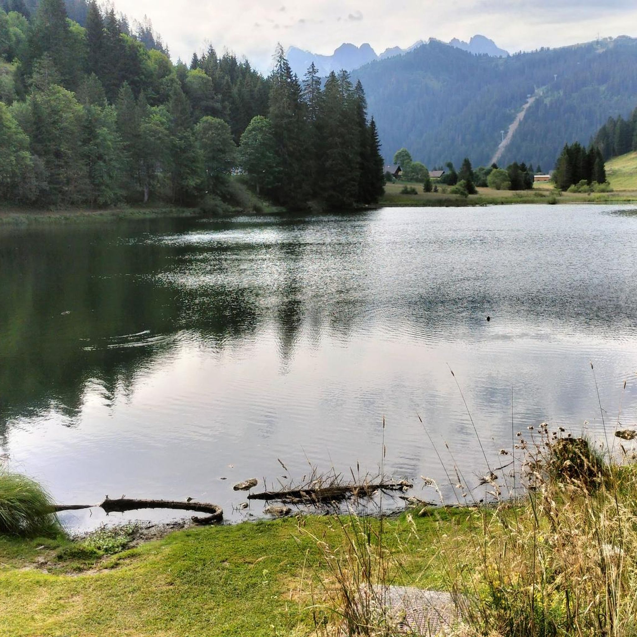
A reward for the climb to Pas de Morgins, this small lake offers you a superb mountain panorama.
0
0

From here, you have a fantastic panoramic view. You can see the Swiss mountains from Dom, across the Matterhorn, to Mont Blanc.
0
0

Quite steep descent, good technique required
1
0

The climb from Muraz is via a road with almost no cars
0
0

Ideal spot for a short break or to prepare your passport to go to France lol
1
0
Frequently Asked Questions
How many mountaineering routes are available around Troistorrents?
Troistorrents offers a wide selection of mountaineering routes, with over 25 distinct tours documented on komoot. These routes cater to various skill levels, from moderate paths to challenging alpine ascents.
Are there any easy mountaineering routes suitable for beginners or families in Troistorrents?
While many routes in Troistorrents require good fitness, there are options for those seeking a less strenuous experience. For example, the Portes de Culet loop from Bec du Corbeau is a moderate route that offers beautiful views without extreme difficulty, making it a good choice for those with less alpine experience or families with older children.
What are some of the more challenging mountaineering routes in the Troistorrents area?
For experienced mountaineers seeking a challenge, Troistorrents provides several demanding routes. The Mont de Grange loop from Télésiège Pré-la-Joux is a difficult 8.6-mile path with significant elevation gain, offering panoramic vistas of the Dents du Midi massif. Another challenging option is the La Truche – Point de l'Au loop from Bec du Corbeau, which is nearly 10 miles long and leads through alpine terrain with expansive views.
Are there any circular mountaineering routes around Troistorrents?
Yes, many of the mountaineering routes in Troistorrents are designed as loops, allowing you to start and end at the same point. Examples include the moderate La Truche – Pertuis Chetrain loop from Bec du Corbeau and the more challenging Lake Conches loop from Châtel.
What kind of natural features or landmarks can I expect to see on these routes?
The Troistorrents region, being a gateway to the Dents du Midi, is rich in stunning natural features. You can encounter striking rocky peaks, lush alpine meadows, and mountain streams. Notable landmarks include the challenging Dent de Valerette Summit, offering views of the Rhone Valley, and the scenic Bellevue Point. You might also pass by beautiful lakes like Lac de Montriond or mountain passes such as Col de Coux.
How long do mountaineering routes near Troistorrents typically take to complete?
The duration of routes varies significantly based on distance and difficulty. Moderate routes like the Portes de Culet loop can be completed in about 2 hours. More extensive and difficult routes, such as the Mont de Grange loop, can take over 6.5 hours, while others like the La Truche – Point de l'Au loop often require around 5.5 hours.
Are there any alpine refuges or huts along the mountaineering routes for rest or overnight stays?
Yes, the region features traditional alpine refuges that serve as excellent stopping points. For instance, the Refuge de Chésery, located by Lac Vert, provides a place to rest and enjoy the scenery during longer treks in the Dents du Midi area.
What is the best time of year for mountaineering in Troistorrents?
The prime season for mountaineering in Troistorrents is typically from late spring through early autumn (roughly June to September), when the trails are generally clear of snow and weather conditions are most stable. During this period, you'll experience lush alpine meadows and accessible mountain passes. Always check local weather and trail conditions before heading out.
Is it possible to reach the mountaineering trailheads using public transport?
Troistorrents is situated at the entrance to the Val d'Illiez, and while specific trailheads might require a short walk or local bus connection, the region generally has public transport options to access the broader Dents du Midi area. It's advisable to check local bus schedules and routes to plan your approach to specific starting points.
What do other mountaineers say about the routes in Troistorrents?
The mountaineering routes around Troistorrents are highly regarded by the komoot community, boasting an impressive average rating of 4.75 stars from over 25 reviews. Users frequently praise the diverse and rugged natural landscapes, the stunning views of the Dents du Midi massif, and the variety of trails suitable for different skill levels.
Are dogs allowed on the mountaineering trails in Troistorrents?
Generally, dogs are welcome on most mountaineering trails in the Troistorrents region, provided they are kept on a leash, especially in areas with livestock or wildlife. It's always a good idea to check specific trail regulations or local signage, as some protected areas might have restrictions. Ensure your dog is fit for the terrain and carry enough water for both of you.
Most popular routes around Troistorrents
Most popular attractions around Troistorrents

Get inspired with the komoot mobile app


Explore more
Browse the best Mountain Hikes & Routes in other regions.
