The best mountain hikes around Eggerberg
4.8
(18)
165
hikers
13
hikes
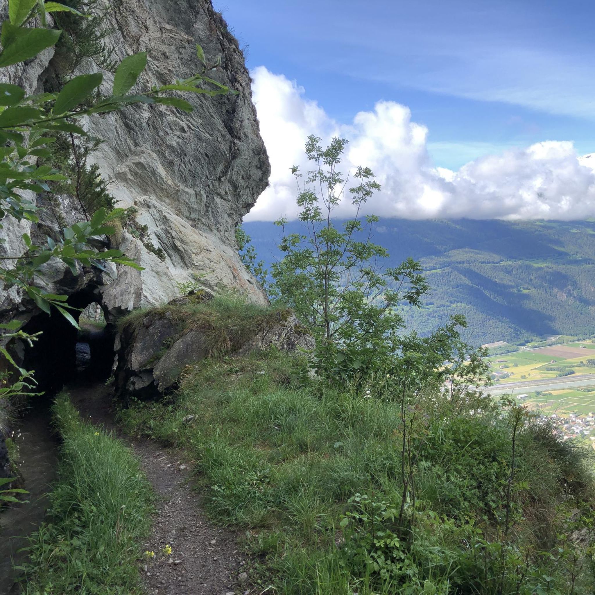
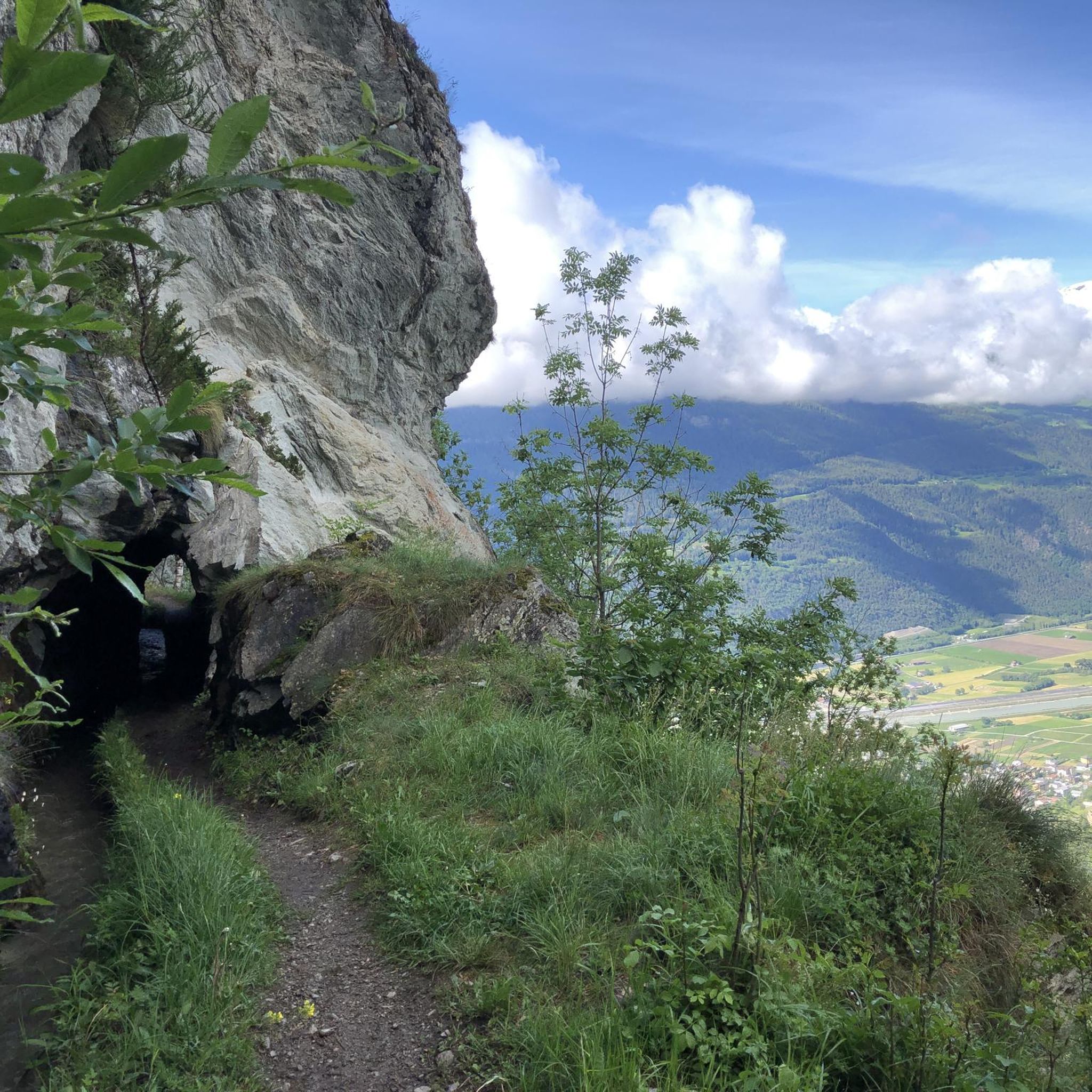
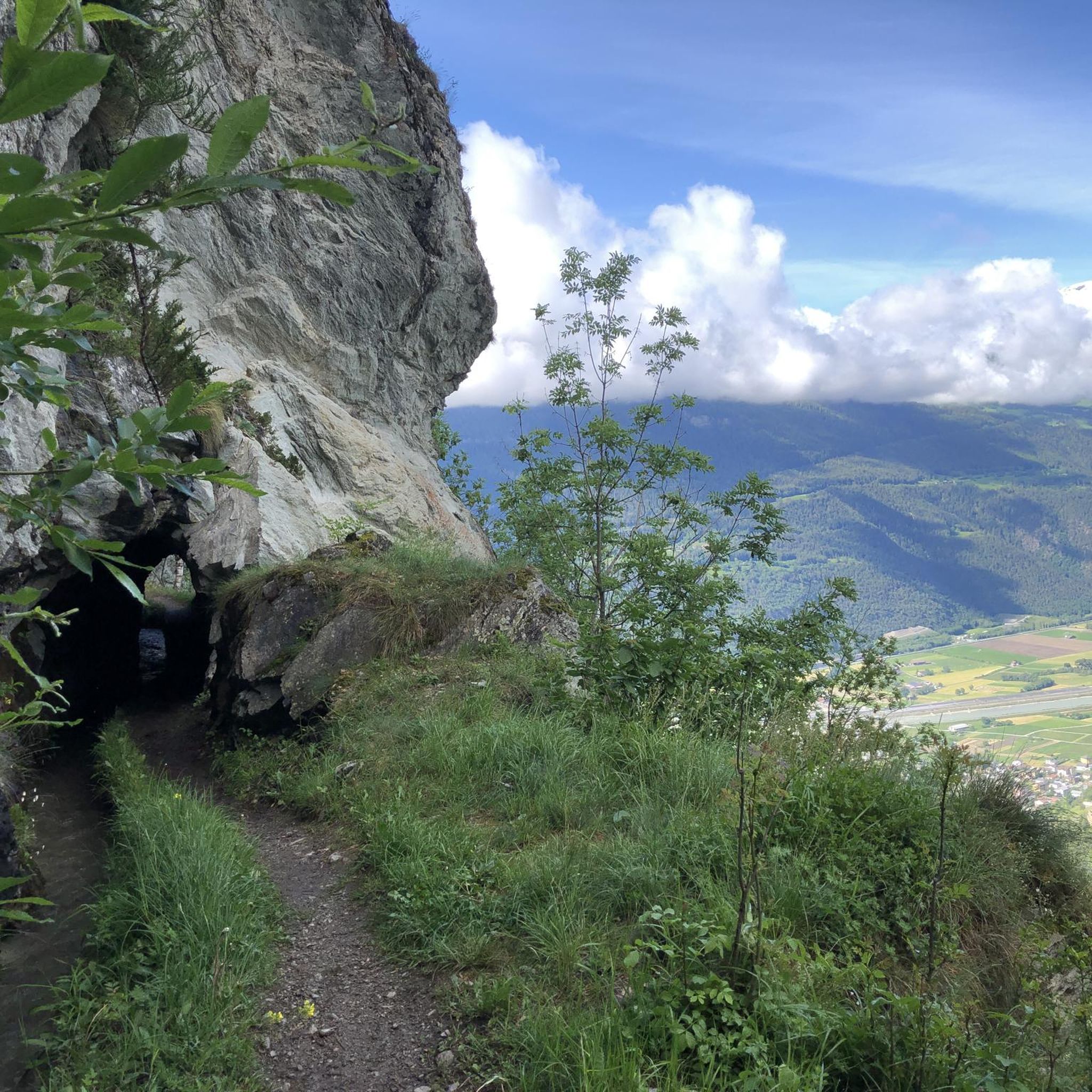
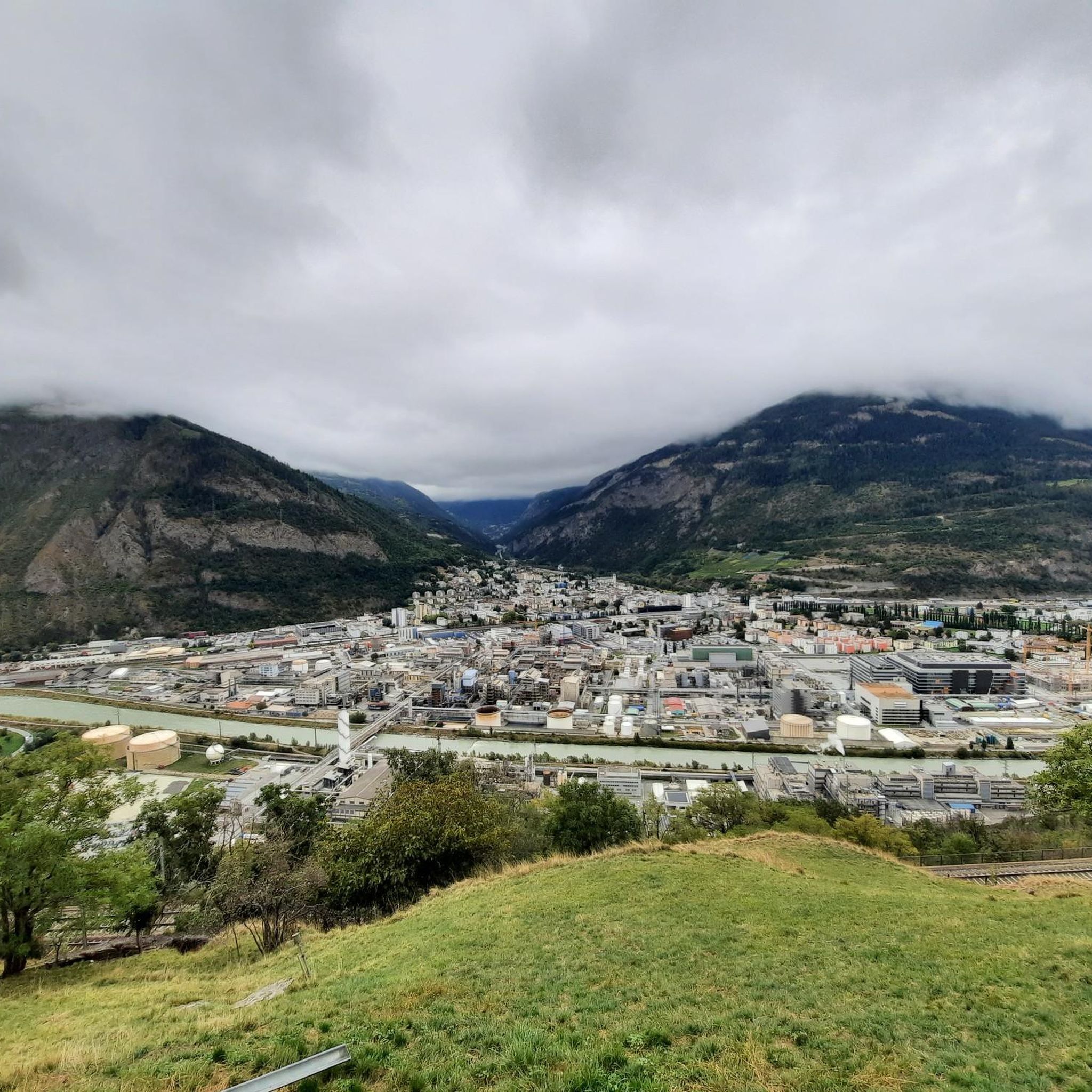
Mountaineering routes around Eggerberg are situated on the sunny southern flank of the Rhône Valley in the Valais region of Switzerland, offering expansive views of the valley and the impressive Mischabel massif. The region is characterized by its alpine terrain, featuring mountain peaks, deep canyons, and a unique blend of Alpine and Mediterranean vegetation. Parts of Eggerberg's landscape are within the UNESCO Swiss Alps Jungfrau-Aletsch World Heritage Site, bordering the Baltschiedertal nature reserve.
Best mountaineering routes around Eggerberg
- The most…
Last updated: October 1, 2026
40
hikers
9.80km
07:29
1,070m
1,070m
Hard mountaineering route. Very good fitness required. Sure-footedness, sturdy shoes and alpine experience required.
5.0
(3)
29
hikers
10.5km
04:30
850m
850m
Hard mountaineering route. Good fitness required. Sure-footedness, sturdy shoes and alpine experience required.

5.0
(4)
17
hikers
14.5km
06:08
910m
910m
Hard mountaineering route. Very good fitness required. Mostly accessible paths. Sure-footedness required.
5.0
(1)
12
hikers
7.95km
03:52
340m
340m
Hard mountaineering route. Good fitness required. Sure-footedness, sturdy shoes and alpine experience required.
4.8
(4)
8
hikers
6.30km
01:51
180m
180m
Easy mountaineering route. Great for any fitness level. Easily-accessible paths. Suitable for all skill levels.
Get access to more routes and recommendations from other explorers.
Already have an account?
Our route recommendations are based on thousands of hikes, rides, and runs completed by other people on komoot.
Start today with a free account
Your next adventure awaits.
Tips from the Community

The "Stand" is one of the region's landmarks. It is the highest point on the Moosalp high plateau and offers you an unbelievable panoramic view over the entire Upper Valais and twelve four-thousand-meter peaks. The "Swing the World" swing on the Moosalp promises fun and freedom high above the peaks. Amidst the impressive mountain landscape, you gently swing towards the sky and immerse yourself in an unforgettable experience. Leave everyday life behind, feel the wind in your hair, and enjoy the breathtaking view.
2
0

The inn has up to 80 seats in the dining room and additionally a large sun terrace as well as a lounge area. It is only open during the summer season. Further information and opening hours can be found here: https://www.dorbia.ch/unser-restaurant
2
0

Anyone hoping for glacier views from the name "Aletsch Via Ferrata" ❄️ will be disappointed – because the route runs several kilometers below the Aletsch Glacier in the Massa Gorge. Instead, it offers a completely different experience: a circular route directly around the Gibidum Reservoir (1,436 m) 🌊, often extremely airy directly above the water! The approximately 3 km long tour leads through varied forest paths 🌲, walking terrain, and steep rock faces. Particularly impressive are the passages directly on the cliff edge above the water's surface – exposed, but well secured with footholds 🔗. The highlight is the approximately 80 m long Nepal Bridge 🌉, which crosses the lake at a height of almost 50 m – pure adrenaline! 😮 The route is mostly easy to moderately difficult (A-B, in places B/C) and is therefore also doable for motivated beginners if you don't suffer from vertigo. The loop ends back at the starting point at the reservoir. ⚠️ Please note: The via ferrata may be closed at short notice depending on the lake's water level!
1
0
Anyone hoping for glacier views from the name "Aletsch Via Ferrata" ❄️ will be disappointed – because the route runs several kilometers below the Aletsch Glacier in the Massa Gorge. Instead, it offers a completely different experience: a circular route directly around the Gibidum Reservoir (1,436 m) 🌊, often extremely airy directly above the water! The approximately 3 km long tour leads through varied forest paths 🌲, walking terrain, and steep rock faces. Particularly impressive are the passages directly on the cliff edge above the water's surface – exposed, but well secured with footholds 🔗. The highlight is the approximately 80 m long Nepal Bridge 🌉, which crosses the lake at a height of almost 50 m – pure adrenaline! 😮 The route is mostly easy to moderately difficult (A-B, in places B/C) and is therefore also doable for motivated beginners if you don't suffer from vertigo. The loop ends back at the starting point at the reservoir. ⚠️ Please note: The via ferrata may be closed at short notice depending on the lake's water level!
0
0

Anyone who wants to take a shortcut.
1
0

In the Forest of Fairies and Gorgwägini
0
0

The Foggenhorn is a summit for true hiking enthusiasts. At 2,569 metres above sea level, it can be reached after a 2.5-hour walk from the Belalp mountain station. Its long ridge and the panorama from the summit are simply stunning!
2
0
Frequently Asked Questions
What kind of terrain can I expect on mountaineering routes around Eggerberg?
Eggerberg's mountaineering routes are characterized by high alpine peaks, deep valleys, and historic "Suonen" irrigation channels. You'll experience a unique blend of Alpine and Mediterranean vegetation, with sweeping views of the Rhône Valley and the impressive Mischabel massif. The area is part of the UNESCO Swiss Alps Jungfrau-Aletsch World Heritage Site, bordering the Baltschiedertal nature reserve, ensuring a pristine natural environment.
How many mountaineering routes are available in Eggerberg?
There are over 10 distinct mountaineering routes around Eggerberg listed on komoot, offering a variety of challenges and experiences for different skill levels.
Are there any easy or moderate mountaineering routes for beginners in Eggerberg?
While many routes are challenging, there are options for those seeking a more moderate experience. For example, the John Tyndall Monument – Sparrhorn Summit loop from Belalp is rated as moderate and offers varied terrain and views of surrounding peaks.
What are some of the most challenging mountaineering routes in the Eggerberg area?
For experienced mountaineers, routes like the Wiwanni Hut – Wiwannihorn (3,001 m) loop from Ausserberg offer a significant challenge, ascending to the Wiwannihorn summit with panoramic alpine vistas. Another difficult option is the Brunegghorn Viewpoint – Augstbordhorn Summit loop from Moosalp, which leads through high alpine landscapes.
Are there any circular mountaineering routes in Eggerberg?
Yes, many of the routes around Eggerberg are designed as loops. Examples include the challenging Wiwanni Hut – Wiwannihorn (3,001 m) loop from Ausserberg and the moderate John Tyndall Monument – Sparrhorn Summit loop from Belalp.
What interesting sights or landmarks can I expect to see along the mountaineering routes?
The region offers breathtaking views of the Rhône Valley and the Mischabel massif. You might also encounter unique features like the historic "Suonen" irrigation channels. For specific landmarks, consider visiting the Bietschtal Bridge or the Jolibach Suspension Bridge, which are notable points of interest in the wider area.
Are there any places to eat or get refreshments near the mountaineering routes?
Yes, you can find options for refreshments. For instance, the Mountain restaurant Dorbia Moosalp is a highlight in the area, offering a place to refuel during or after your adventure.
What do other mountaineers say about the routes in Eggerberg?
The mountaineering routes in Eggerberg are highly regarded by the komoot community, with an average rating of 4.8 stars from over 10 reviews. Users often praise the stunning alpine vistas, the diverse terrain, and the well-maintained trails that lead to impressive summits.
Is public transport available to access the mountaineering routes in Eggerberg?
Eggerberg is situated on the Lötschberg South Ramp route, and the Eggerberg railway station serves as a convenient starting or end point for many hikes, including those connecting to the broader network of trails. This makes accessing the routes via public transport quite feasible.
What is the best time of year for mountaineering in Eggerberg?
The region is best explored during the warmer months, typically from late spring to early autumn, when the alpine trails are clear of snow and the weather conditions are most favorable for high-altitude activities. Always check local weather forecasts before heading out.
Are there any routes that feature the historic 'Suonen' irrigation channels?
Yes, the historic 'Suonen' (or 'bisses') are a unique feature of the region. The Foggenhorn Summit (2,569 m) – Suone Nessjeri loop from Belalp is an example of a route that incorporates these fascinating irrigation channels, offering a glimpse into local heritage alongside stunning natural beauty.
Most popular routes around Eggerberg
Most popular attractions around Eggerberg

Get inspired with the komoot mobile app


Explore more
Browse the best Mountain Hikes & Routes in other regions.
