The best mountain hikes around Göschenen
4.9
(106)
1,234
hikers
40
hikes
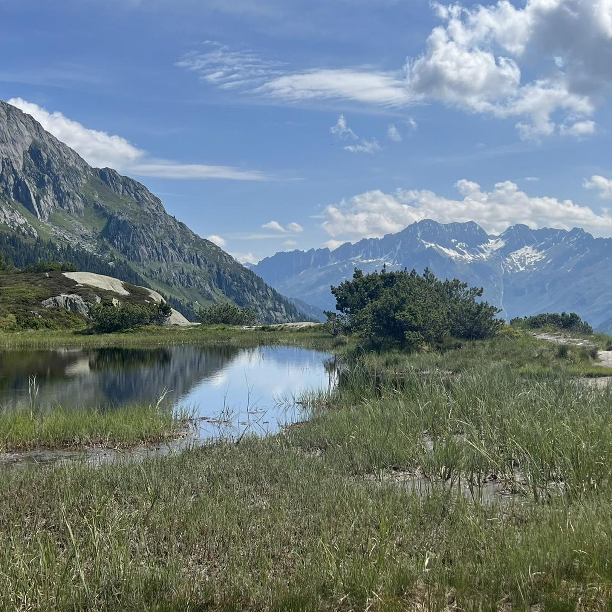
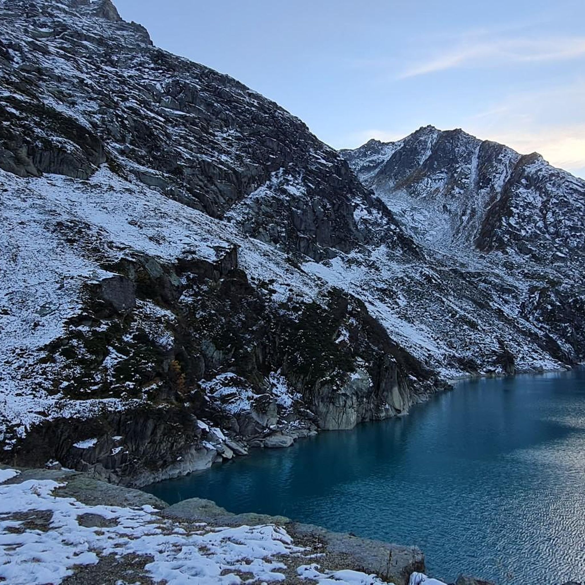
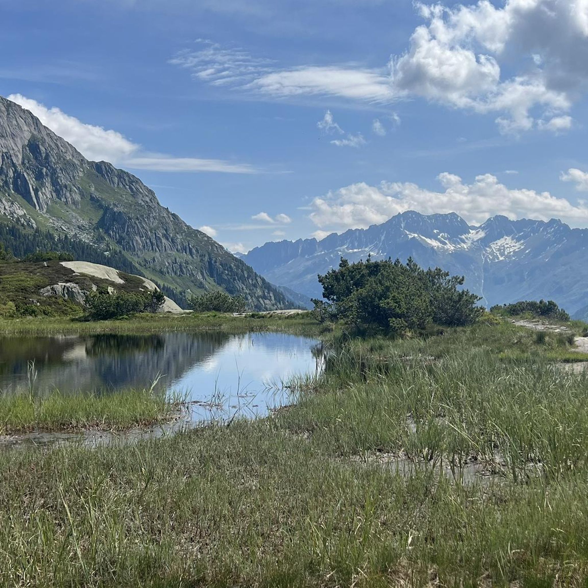
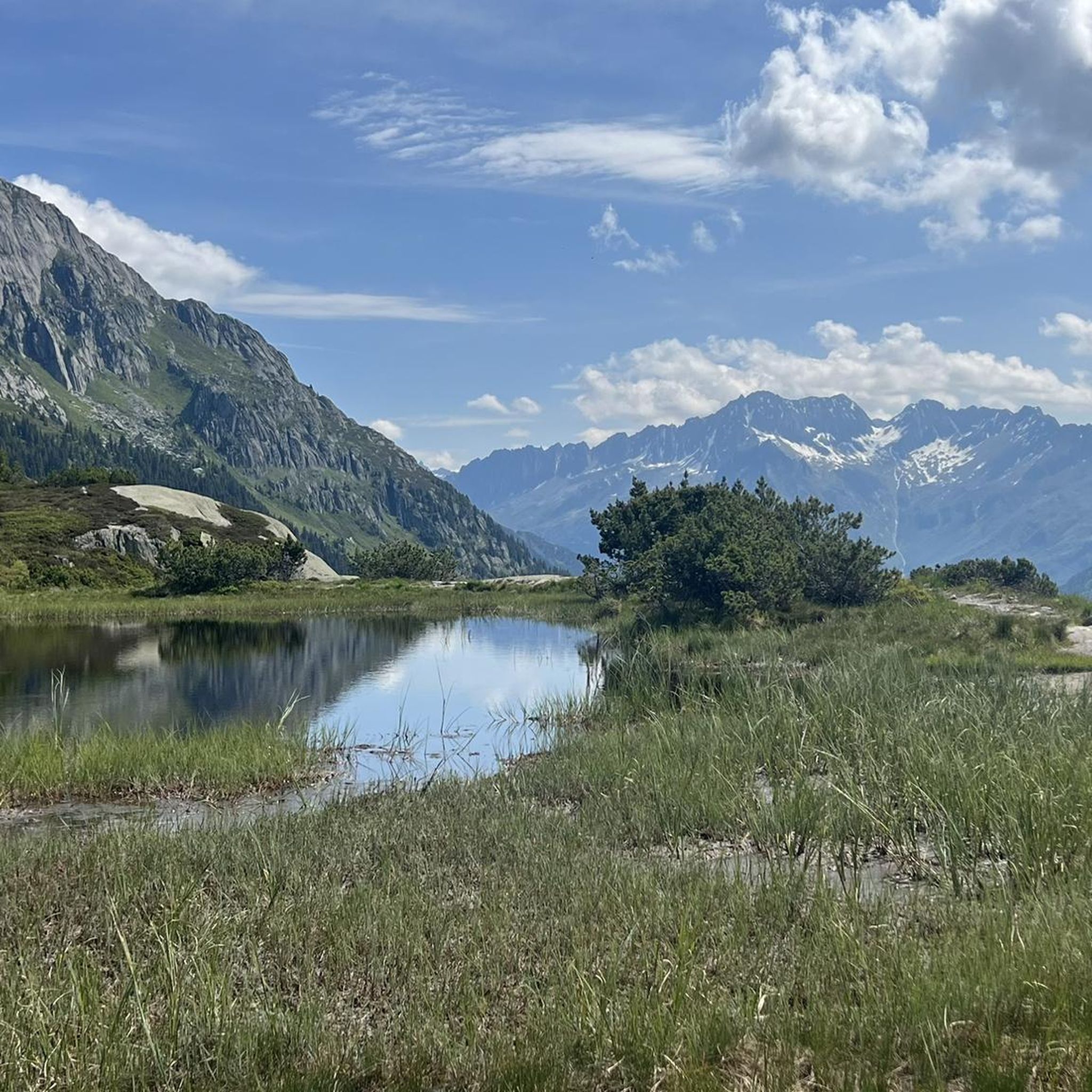
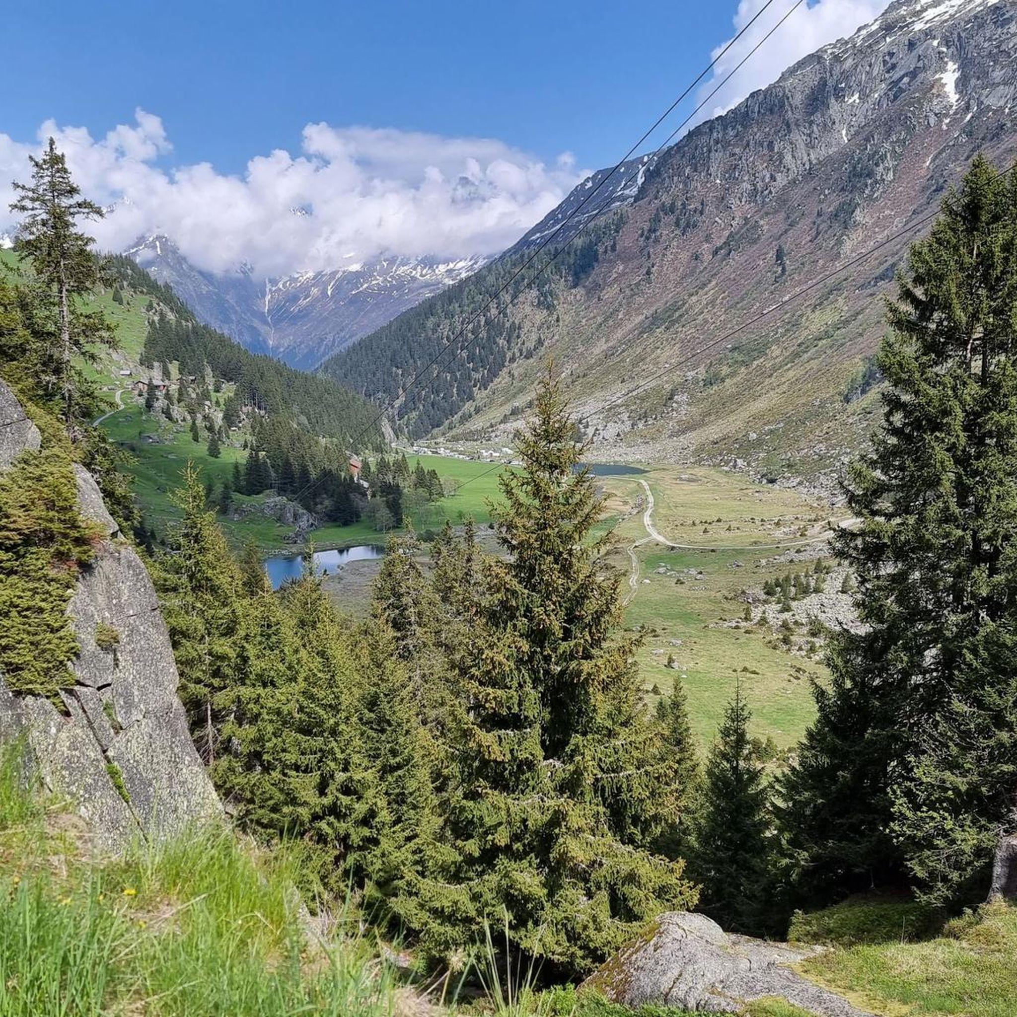
Mountaineering around Göschenen offers access to rugged alpine landscapes within the Swiss Alps, characterized by the Göschener Valley's impressive mountain scenery, granite cliffs, and rushing streams. The region features the Göscheneralpsee, a glacial reservoir surrounded by towering peaks like Dammastock and Sustenhorn, showcasing dramatic granite formations of the Gotthard Massif. This environment provides a diverse range of challenging routes for experienced mountaineers.
Best mountaineering routes around Göschenen
- The most popular mountaineering route is Devil's Bridge (Teufelsbrücke) loop from Andermatt, a difficult 4.1 miles (6.7 km) trail that takes 3 hours 56 minutes to complete, passing by the historically significant Devil's Bridge.
- Another top favourite among local mountaineers is Alpine Moorland in Uri – Bergsee Hut loop from Göscheneralpsee, a difficult 8.4 miles (13.5 km) path. This route offers views of the Göscheneralpsee and leads to the Bergsee Hut, providing a true alpine experience.
- Local mountaineers also love the Lake Göscheneralp – Alpine Moorland in Uri loop from Göscheneralpsee, a 7.2 miles (11.6 km) trail leading through alpine moorland and along the Göscheneralpsee, often completed in about 5 hours 3 minutes.
- Mountaineering around Göschenen is defined by dramatic granite landscapes, glaciated peaks, and an extensive network of challenging trails. The region offers options for various ability levels, from easy strolls to demanding multi-day treks.
- The routes in Göschenen are highly rated by the komoot community with an average score of 4.9 stars from over 110 reviews. More than 1200 mountaineers have used komoot to explore Göschenen's varied terrain.
Last updated: July 20, 2026
4.9
(20)
200
hikers
6.82km
04:10
520m
520m
Hard mountaineering route. Good fitness required. Sure-footedness, sturdy shoes and alpine experience required.
5.0
(4)
73
hikers
13.0km
06:48
1,110m
1,110m
Hard mountaineering route. Very good fitness required. Sure-footedness, sturdy shoes and alpine experience required.

Sign up for free
4.8
(5)
97
hikers
8.26km
04:32
700m
700m
Hard mountaineering route. Good fitness required. Sure-footedness, sturdy shoes and alpine experience required.
5.0
(4)
32
hikers
Hard mountaineering route. Very good fitness required. Mostly accessible paths. Sure-footedness required.
42
hikers
7.02km
04:36
870m
870m
Moderate mountaineering route. Good fitness required. Mostly accessible paths. Sure-footedness required.
Get access to more routes and recommendations from other explorers.
Sign up for free
Already have an account?
Our route recommendations are based on thousands of hikes, rides, and runs completed by other people on komoot.
Start today with a free account
Your next adventure awaits.
Login or Signup

Other adventures around Göschenen

Tips from the Community

Engraved or rather carved into the rock, it is literally monumental.
2
0
The bubbling of the water almost covers the noise of the traffic.
3
0
The gurgling of the water adds a sense of grandeur to this beautiful place
3
0
A very pleasant shady place to ride
3
0

very pretty here, very pretty
0
0
very pretty here, very pretty
0
0
Frequently Asked Questions
How many mountaineering routes are available around Göschenen?
There are over 40 mountaineering routes around Göschenen, offering a wide range of experiences for different skill levels. The region is known for its rugged alpine landscapes and challenging terrain.
What kind of difficulty can I expect on mountaineering routes in Göschenen?
Mountaineering in Göschenen is primarily challenging, with 38 out of 42 routes rated as difficult. There are also 3 moderate routes and 1 easy route available, catering to various experience levels. Many routes demand good fitness, sure-footedness, and alpine experience.
Are there any circular mountaineering routes in Göschenen?
Yes, Göschenen offers several excellent circular routes. For instance, you can explore the Devil's Bridge loop from Andermatt, which is a difficult 4.1-mile trail. Another option is the Lake Göscheneralp – Alpine Moorland in Uri loop from Göscheneralpsee, a 7.2-mile trail through alpine moorland. The Salbithütte SAC loop from P1 Torbrücke is a moderate 4.4-mile option.
What are some notable natural features or landmarks I can see while mountaineering in Göschenen?
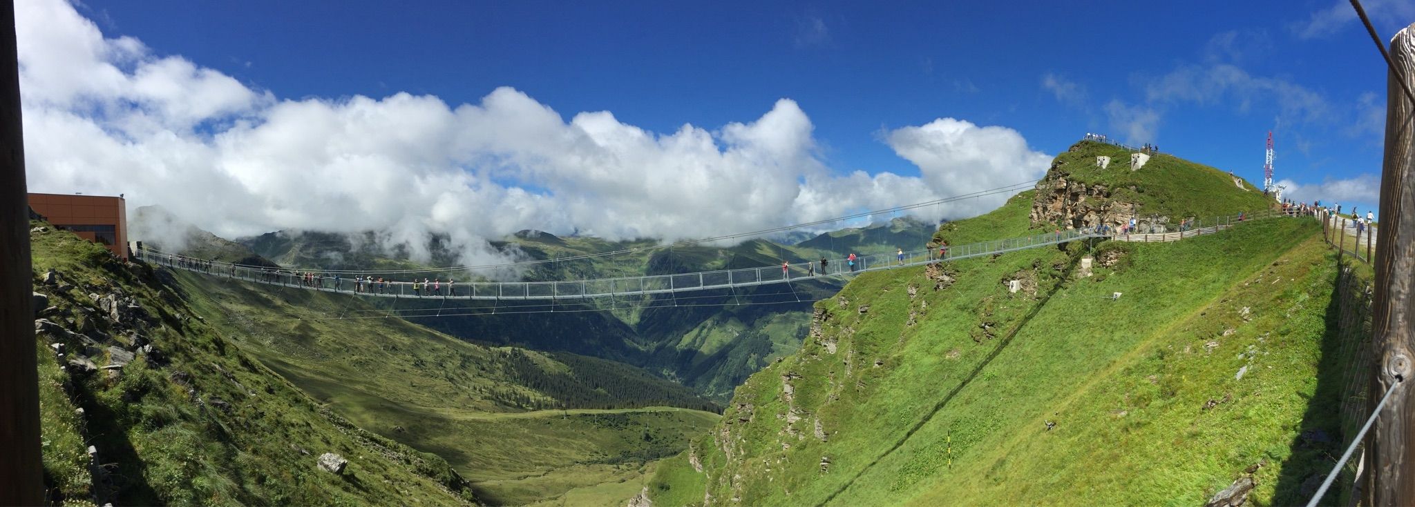
The Göschenen region is rich in dramatic natural features. You can encounter the impressive granite formations of the Gotthard Massif, the stunning Göscheneralpsee glacial reservoir, and towering peaks like Dammastock and Sustenhorn. Historically significant landmarks include the Schöllenen Gorge and the legendary Devil's Bridge. For specific points of interest, consider visiting the Pazolastock Summit or the Titlis Cliff Walk Suspension Bridge nearby.
Are there any mountain huts in the Göschenen region that can be used as bases for tours?
Yes, the region is well-equipped with several Swiss Alpine Club (SAC) huts that serve as excellent starting points or stage destinations for multi-day hikes and climbing expeditions. Notable huts include the Chelenalphütte, Dammahütte, Voralphütte, and Bergseehütte. You can also find the Salbithütte, Maighelshütte, and Rotondo Hut in the vicinity.
What do other mountaineers enjoy the most about mountaineering in Göschenen?
The area is highly rated by the komoot community, with an average score of 4.9 stars. Reviewers often praise the dramatic granite landscapes, the extensive network of challenging trails, and the sense of solitude found in the Göschener Valley, making it ideal for an authentic alpine adventure away from commercial resorts.
Are there any less crowded mountaineering routes in Göschenen?
While Göschenen is centrally located, the Göschener Valley often provides a sense of solitude due to fewer crowds compared to more commercialized areas. Routes that venture deeper into the alpine terrain, away from the main access points, are likely to offer a more tranquil experience. The region's focus on authentic alpine adventure rather than mass tourism contributes to this peaceful atmosphere.
What is the best season for mountaineering in Göschenen?
The best season for mountaineering in Göschenen is typically from late spring to early autumn (June to September), when the trails are generally free of snow and weather conditions are more stable. However, some routes may still have snow patches early in the season. Always check current weather and trail conditions before heading out.
Are there any family-friendly mountain hikes in Göschenen?
While many routes in Göschenen are challenging, the region does offer options for various ability levels. You can find easier strolls, particularly around the Göscheneralpsee, which are suitable for families. These paths allow you to enjoy the stunning alpine scenery without the demands of a full mountaineering expedition.
Can I reach mountaineering trailheads in Göschenen using public transport?
Göschenen is accessible by public transport, particularly via the Gotthard railway line. From Göschenen, local bus services often connect to areas like Göscheneralpsee, which serve as starting points for many mountaineering routes. It's advisable to check local bus schedules in advance for specific trailhead access.
Where can I find parking for mountaineering routes in Göschenen?
Parking is generally available at key access points for popular routes, such as near the Göscheneralpsee or other valley entrances. Specific parking information can often be found in detailed route descriptions or local tourist information. For example, the Salbithütte SAC loop starts from P1 Torbrücke, indicating a parking area.
Are there opportunities for advanced technical mountaineering or climbing in Göschenen?
Absolutely. Göschenen is renowned for its high-quality alpine granite, making it a prime spot for rock climbing and advanced technical mountaineering. The granite walls offer diverse climbing experiences, and the region's rugged peaks provide challenging expeditions for experienced mountaineers seeking demanding ascents.
Most popular attractions around Göschenen

Get inspired with the komoot mobile app


Explore more
Browse the best Mountain Hikes & Routes in other regions.
