The best mountain hikes around Miglieglia
5.0
(11)
76
hikers
6
hikes
Mountaineering around Miglieglia offers diverse terrain, characterized by its position on the slopes of Monte Lema and extending to the Magliasina River. The region features extensive woods of chestnut, beech, and oak, alongside herb meadows and varied elevation changes. This landscape provides a network of trails suitable for different mountaineering experiences.
Best mountaineering routes around Miglieglia
- The most popular mountaineering route is Monte San Salvatore – Puntobelvedere loop from Pazzallo, a 3.0 miles (4.8 km) trail that takes 2…
Last updated: October 1, 2026
4.8
(5)
40
hikers
4.39km
02:14
350m
350m
Hard mountaineering route. Good fitness required. Sure-footedness, sturdy shoes and alpine experience required.
5.0
(1)
7
hikers
6.29km
03:18
520m
520m
Moderate mountaineering route. Good fitness required. Mostly accessible paths. Sure-footedness required.

5.0
(3)
8
hikers
Moderate mountaineering route. Good fitness required. Mostly accessible paths. Sure-footedness required.
5
hikers
11.7km
05:20
900m
900m
Hard mountaineering route. Very good fitness required. Mostly accessible paths. Sure-footedness required.
7
hikers
6.88km
02:57
410m
410m
Hard mountaineering route. Good fitness required. Sure-footedness, sturdy shoes and alpine experience required.
Our route recommendations are based on thousands of hikes, rides, and runs completed by other people on komoot.
Start today with a free account
Your next adventure awaits.
Popular around Miglieglia
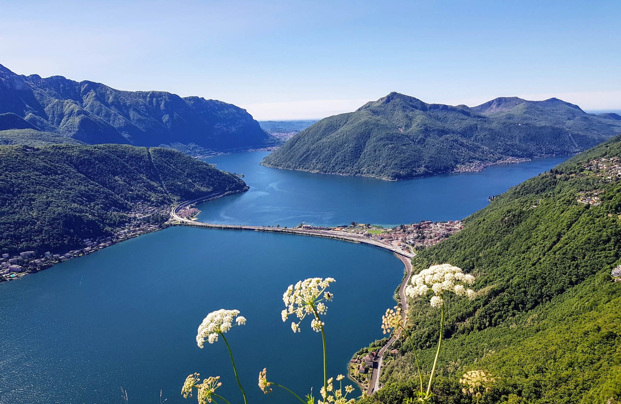
Sentiero Lago di Lugano – Between summits and lakes
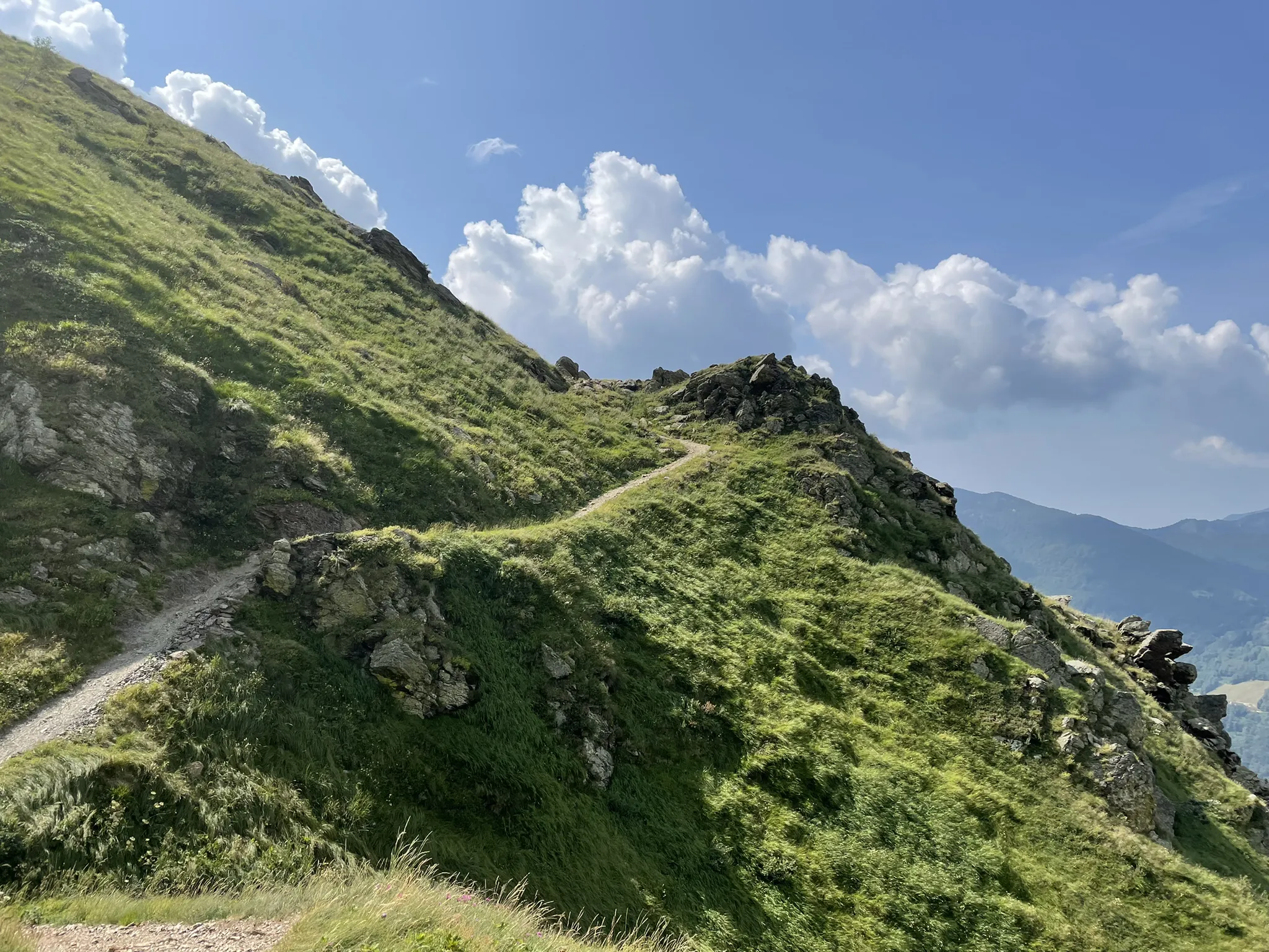
Over the mountains of Tessin - Lugano Bike 66
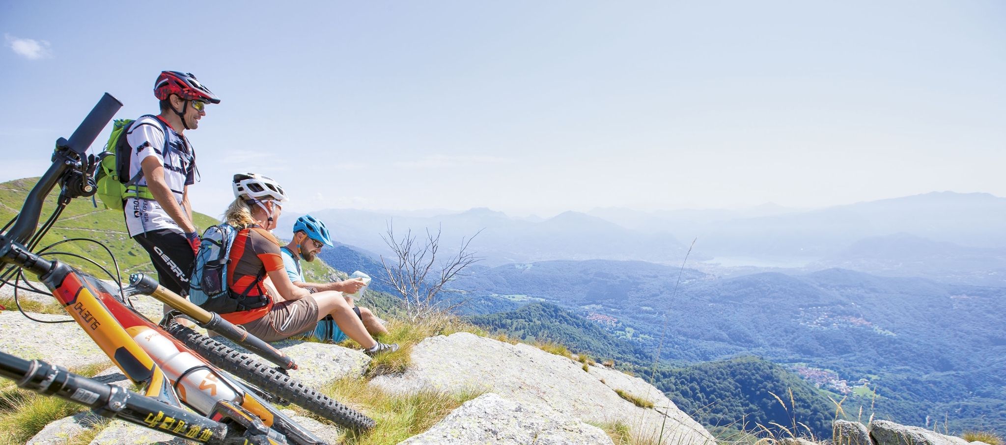
Ride together – the komoot MTB relay through Ticino in Switzerland
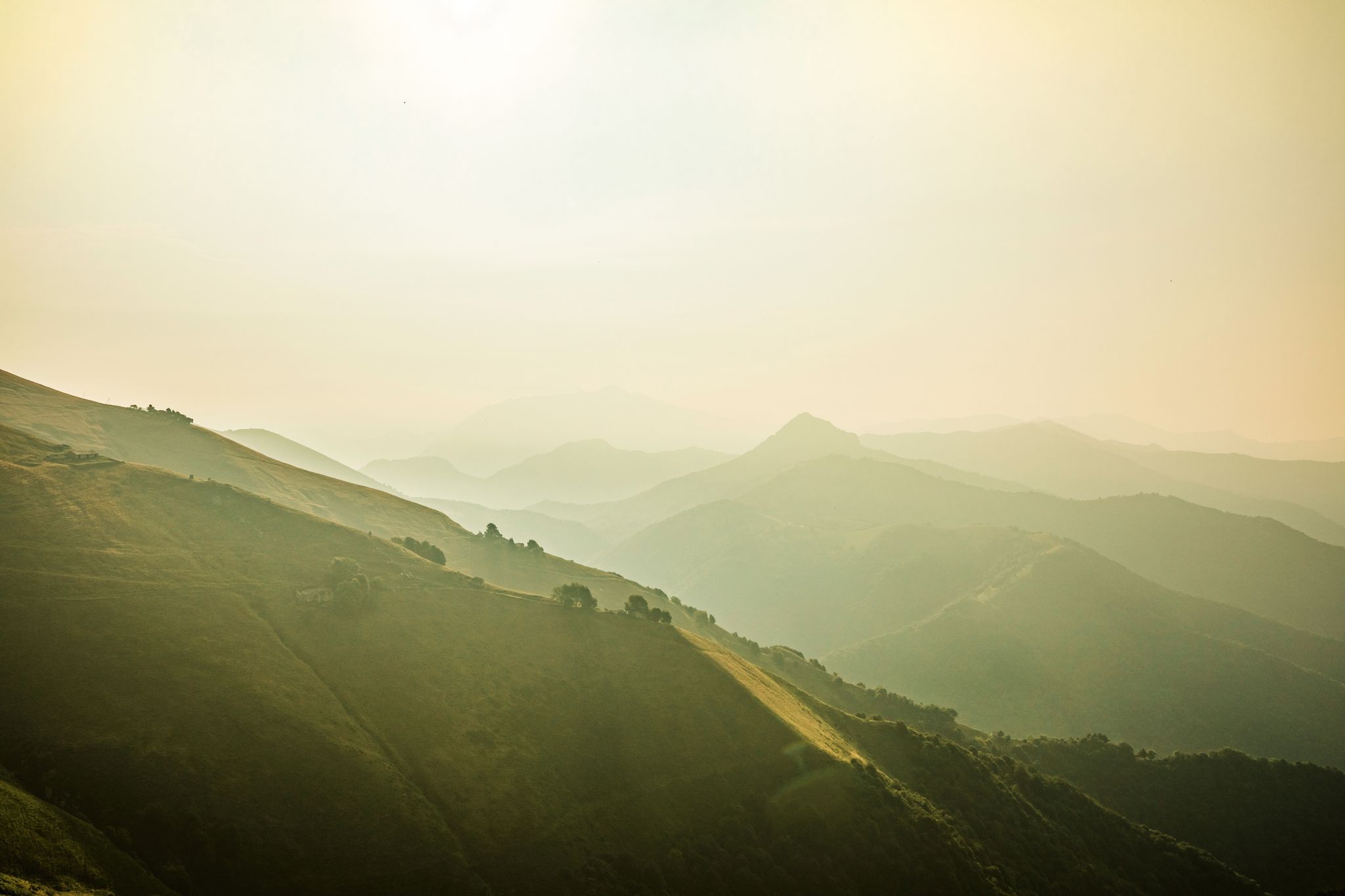
Ticino — Between heaven and formaggini
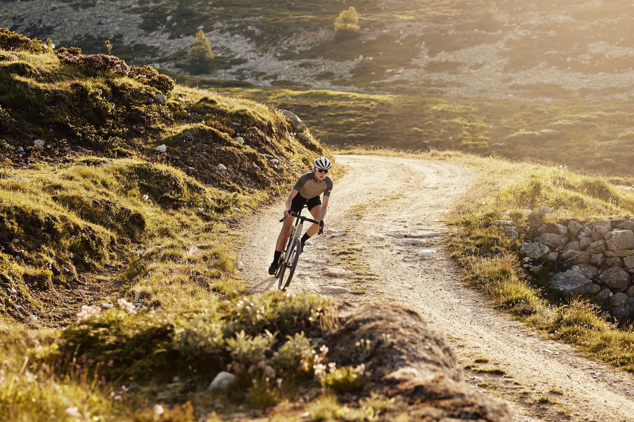
Schottergenuss und Gaumenschmaus – Grand Gourmet Rides durch die Schweiz
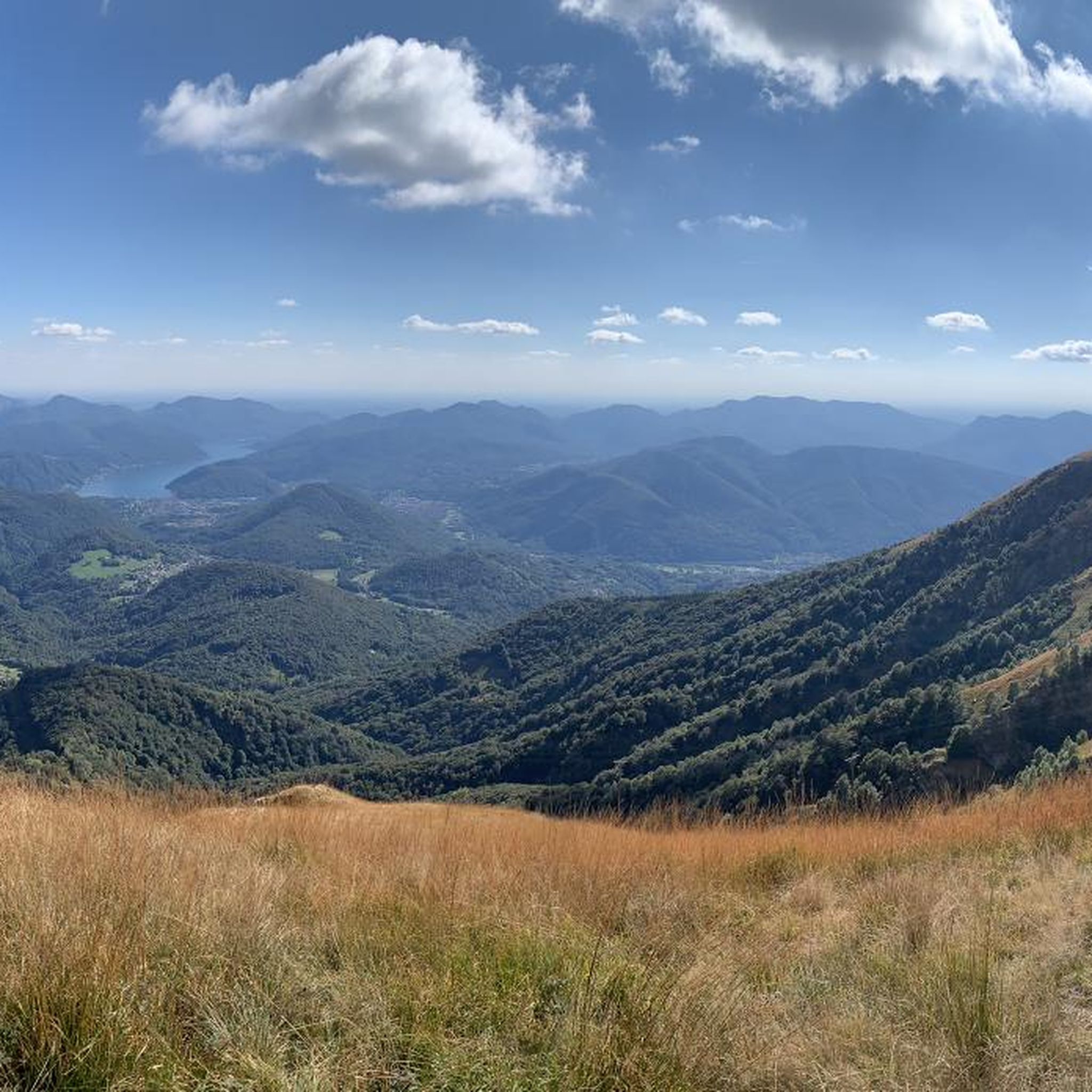
Hiking around Miglieglia
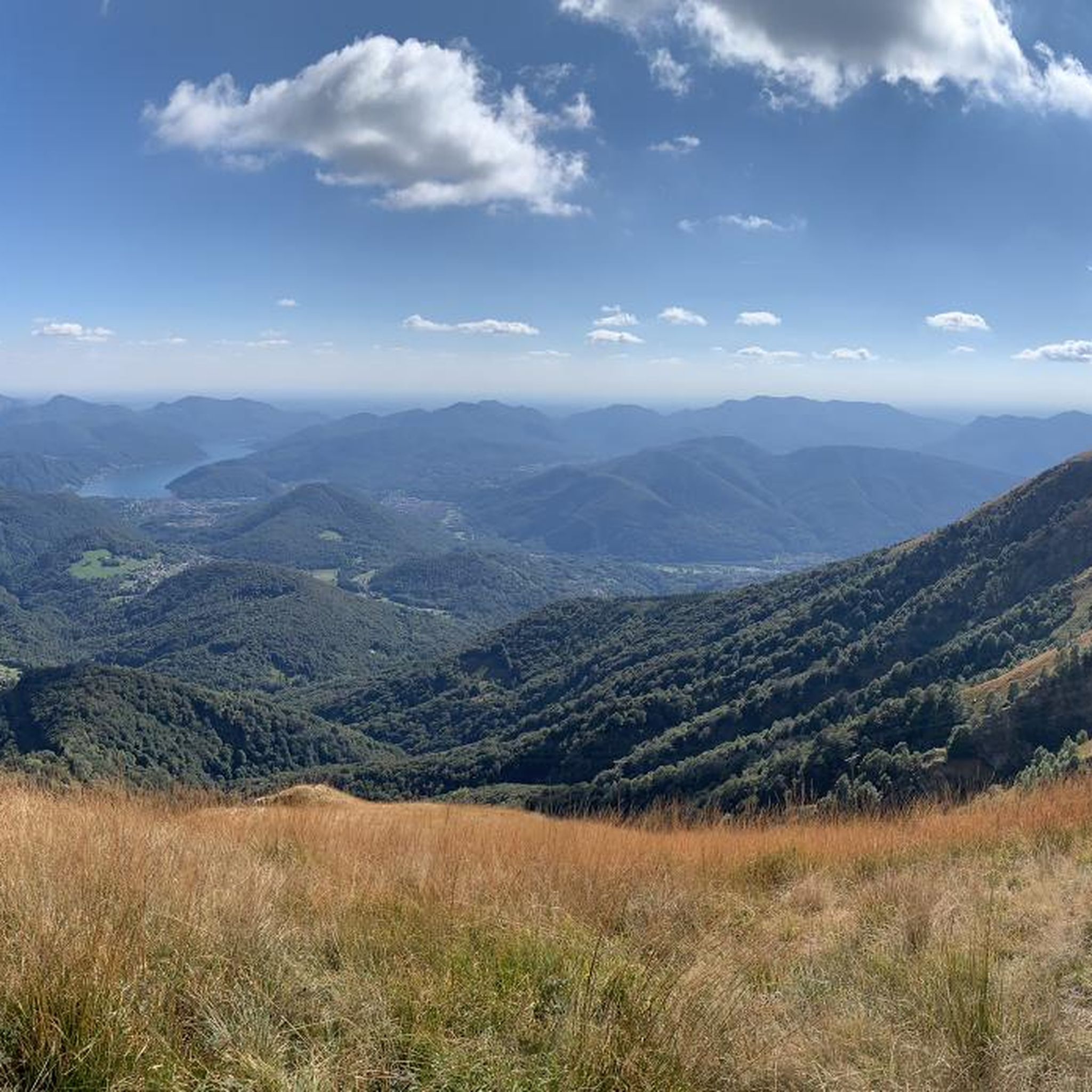
Road Cycling Routes around Miglieglia
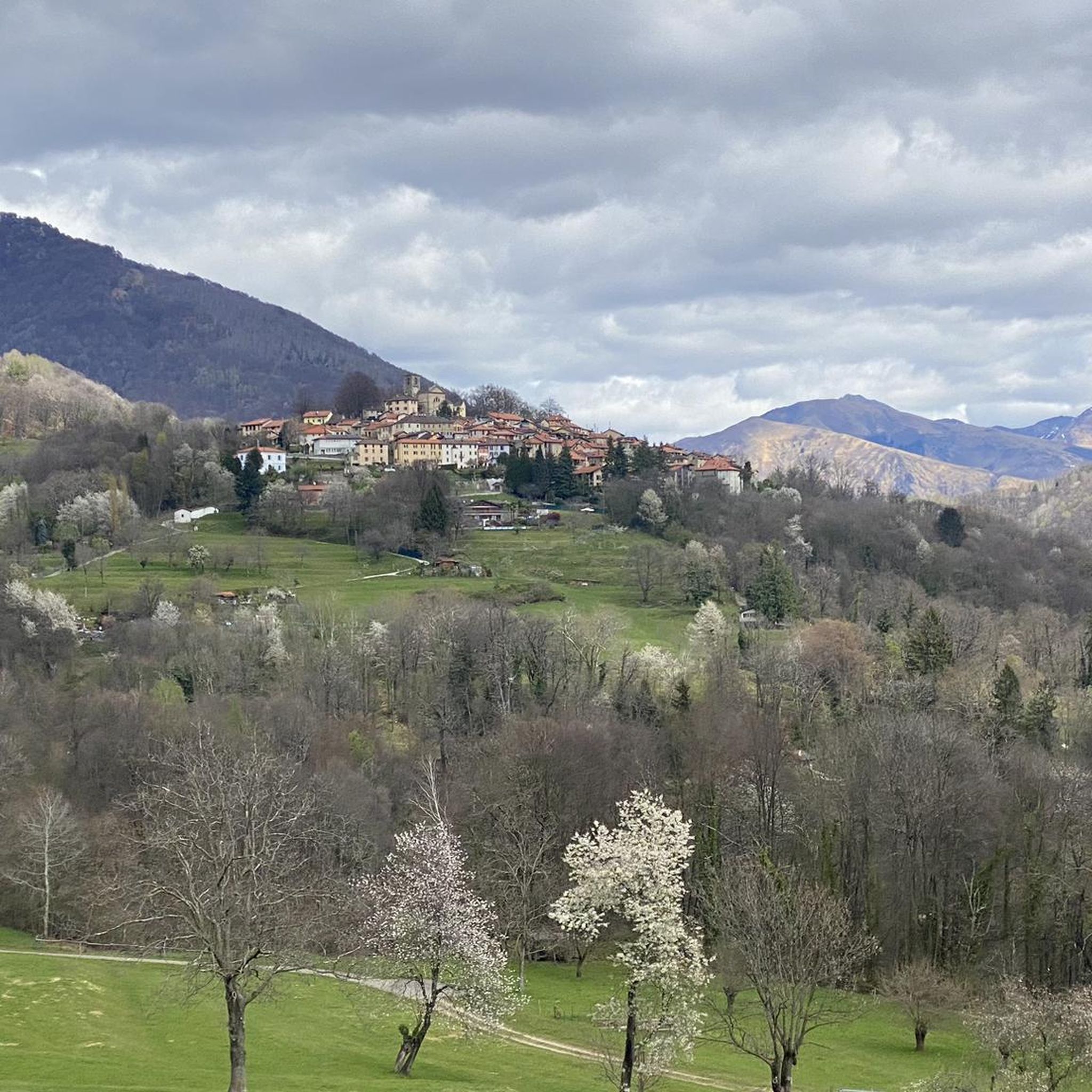
MTB Trails around Miglieglia
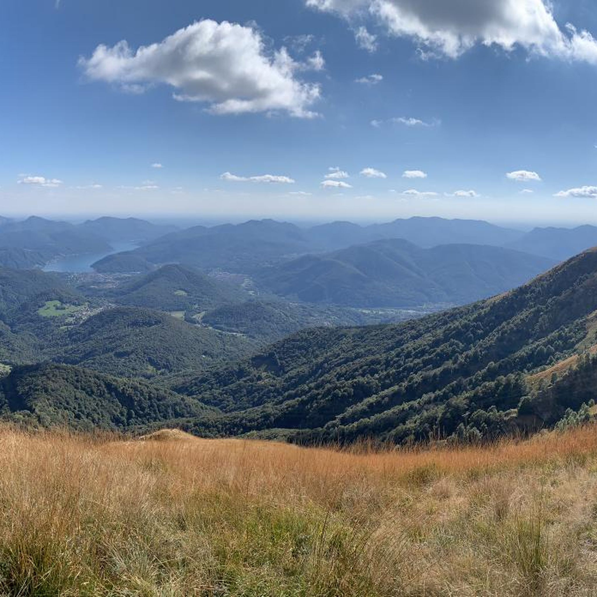
Cycling around Miglieglia
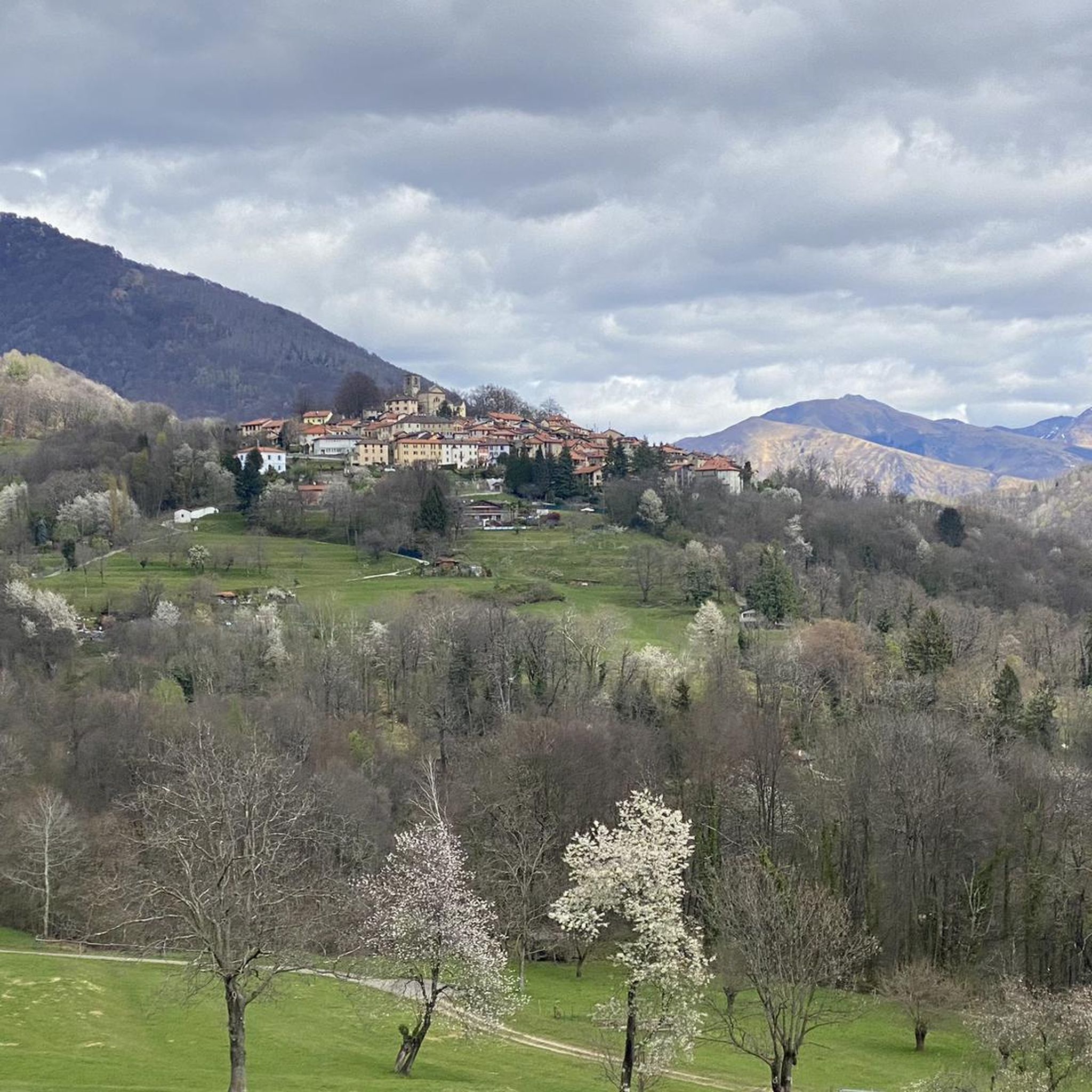
Running Trails around Miglieglia
Other adventures around Miglieglia


Tips from the Community

Very nice Ticino village. Accessible by Postauto.
0
0


Nice and cozy restaurant on the summit
8
0
Trips every 30 minutes
8
0

It's definitely tiring but the view makes up for the effort, if you want there's a cable car from Miglieglia😁
0
0

Here you take the mountain bike train up Monte Lema. Then you ride the mountain bike down to Italy and then back to Agno.
0
0

Wonderful view, highly recommended 🌞👍
0
0
Frequently Asked Questions
What is the general difficulty level of mountaineering routes around Miglieglia?
The mountaineering routes around Miglieglia offer a range of difficulties. You'll find a balanced mix of moderate and difficult trails, with 5 routes classified as moderate and 5 as difficult. This variety ensures options for different skill levels, from experienced mountaineers to those looking for a challenging ascent.
Are there any circular mountaineering routes in the Miglieglia area?
Yes, several routes around Miglieglia are circular, allowing you to start and end in the same location. For example, the Monte San Salvatore – Puntobelvedere loop from Pazzallo is a moderate 4.8 km route, and the more challenging Summit of Mount Gambarogno – Alpe di Neggia Pass (1,395 m) loop from Indemini covers 11.4 km with significant elevation changes.
What kind of scenic views can I expect on mountaineering routes near Miglieglia?
Mountaineering around Miglieglia offers truly breathtaking panoramic views. From prominent points like Monte Lema, you can see Lago di Lugano, Lago Maggiore, the Po Valley, and even the distant Valais and Bernese Alps, including the Monte Rosa massif and the Matterhorn on clear days. Many routes traverse ridges, providing continuous vistas of both lakes.
Are there any family-friendly mountaineering options or easier hikes around Miglieglia?
While many mountaineering routes are moderate to difficult, the region around Miglieglia also offers easier trails suitable for families. The Monte Lema summit, accessible via cableway, has a children's playground and offers gentle paths with stunning views. The 'Tra Cielo e Terra' thematic trail on Monte Lema's slopes is another option for discovering the region's natural richness at a more leisurely pace.
What natural attractions or landmarks can I see along the mountaineering routes?
The Miglieglia region is rich in natural and historical landmarks. Along your routes, you might encounter extensive chestnut, beech, and oak forests, herb meadows, and the Magliasina River. Notable summits include Monte Lema and Monte Gambarogno. You can also find historical remnants like old mills and forges along the 'Sentiero delle Meraviglie' in Malcantone.
What is the best time of year for mountaineering in Miglieglia?
The best time for mountaineering in Miglieglia is generally from spring through autumn. During these seasons, the weather is more stable, and the trails are clear of snow, offering ideal conditions for exploring the diverse terrain and enjoying the panoramic views. Winter mountaineering is possible but requires specific equipment and experience due to snow and ice conditions.
How can I reach the mountaineering trailheads around Miglieglia using public transport?
Miglieglia is well-connected, and public transport can get you close to many trailheads. The village itself is a popular departure point. For routes involving Monte Lema, a convenient cableway from Miglieglia provides a 10-minute ascent to the summit, which is a starting point for many high-altitude trails.
Where can I find parking for mountaineering routes near Miglieglia?
Miglieglia, being a popular starting point for outdoor activities, offers parking facilities within or near the village. For routes starting directly from Miglieglia, you'll typically find designated parking areas. If you're accessing Monte Lema via the cableway, parking is available at the cableway station.
Are there any huts or places to stay overnight along the mountaineering routes?
Yes, there are options for accommodation and refreshment along or near the routes. For instance, the Monte Lema Summit Hostel offers a place to stay right at the top of Monte Lema, complete with a restaurant and panoramic terrace. The Tamaro Hut is another option for those undertaking longer traverses like the Monte Lema – Monte Tamaro route.
What do other mountaineers say about the routes in Miglieglia?
The mountaineering routes in Miglieglia are highly regarded by the komoot community, with an impressive average rating of 5.0 stars from over 10 reviews. Mountaineers frequently praise the varied terrain, the stunning panoramic views of both Lake Lugano and Lake Maggiore, and the well-maintained network of trails that cater to different fitness levels.
Can you recommend a moderate mountaineering route with good views?
Certainly. The Alpe di Neggia Pass (1,395 m) – Summit of Mount Gambarogno loop from Monte Gambarogno is a moderate 10.2 km route that traverses varied mountain terrain and offers excellent views. Another great option is the Alpe di Neggia Pass (1,395 m) – Summit of Monte Tamaro loop from Monte Gambarogno, which is 6.3 km and also provides beautiful vistas.
Are there any cafes or restaurants available near the mountaineering trails?
Yes, you'll find options for refreshments. The summit of Monte Lema features a restaurant with a panoramic terrace, perfect for a break. The charming village of Miglieglia itself also has cafes and restaurants. Additionally, some routes might pass by alpine pastures where you can find local produce or small eateries.
What is the longest mountaineering route available around Miglieglia?
Among the listed routes, the Summit of Mount Gambarogno – Alpe di Neggia Pass (1,395 m) loop from Indemini is one of the longer options, spanning 11.4 km. This difficult trail leads through mountain passes and offers extensive panoramic views, typically taking around 5 hours to complete.
Most popular routes around Miglieglia
Most popular attractions around Miglieglia

Get inspired with the komoot mobile app


Explore more
Browse the best Mountain Hikes & Routes in other regions.
