The best mountain hikes around Mergoscia
4.0
(2)
32
hikers
3
hikes
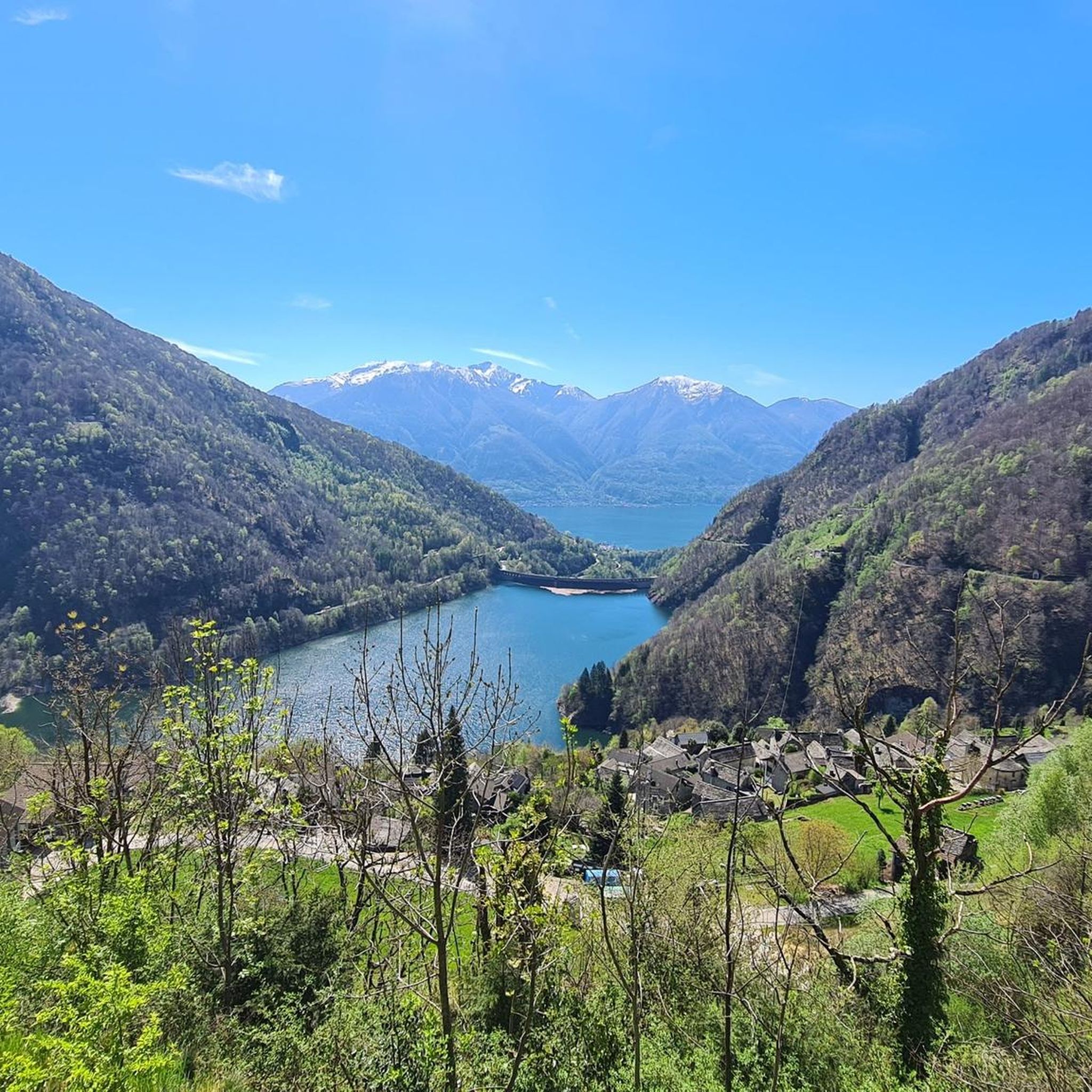
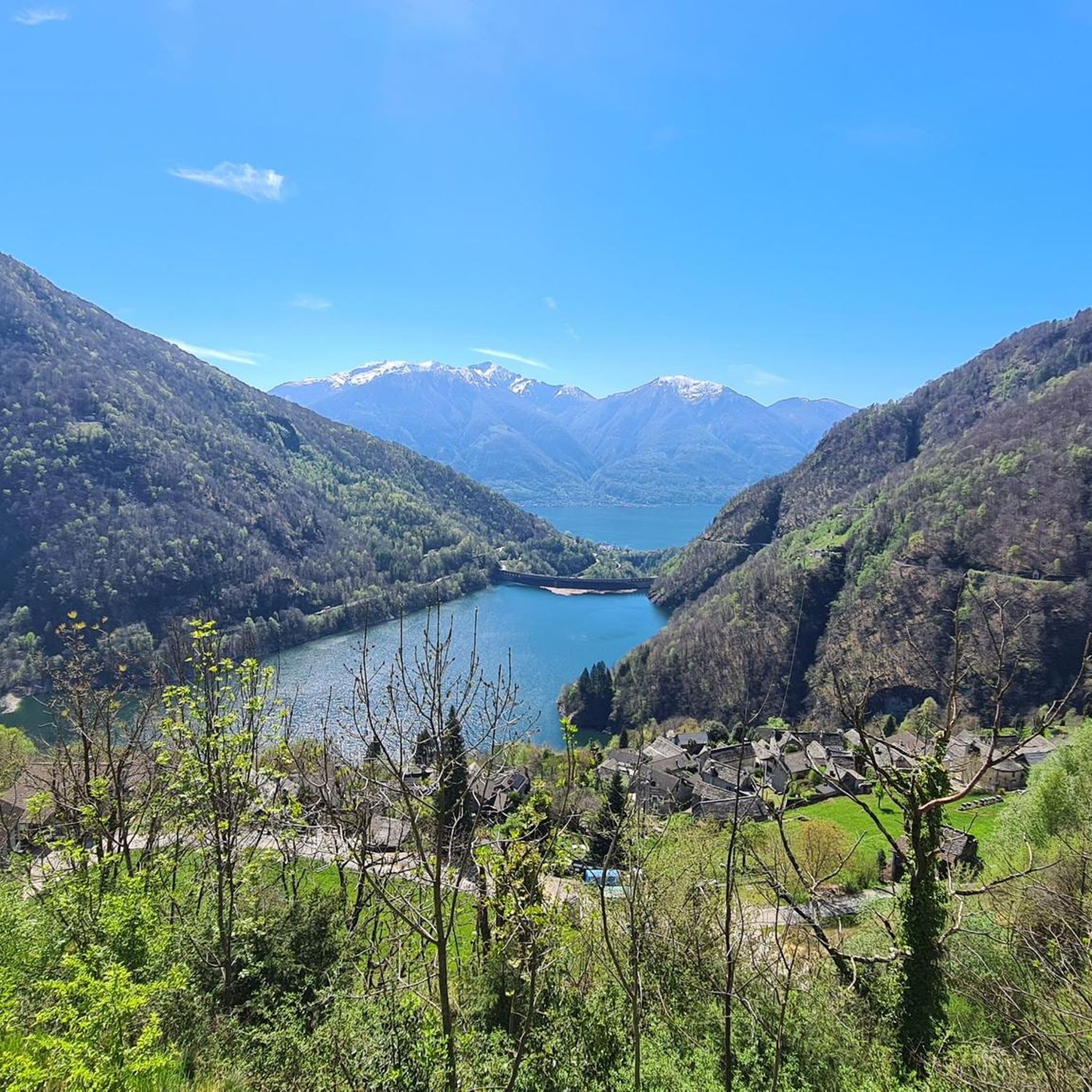
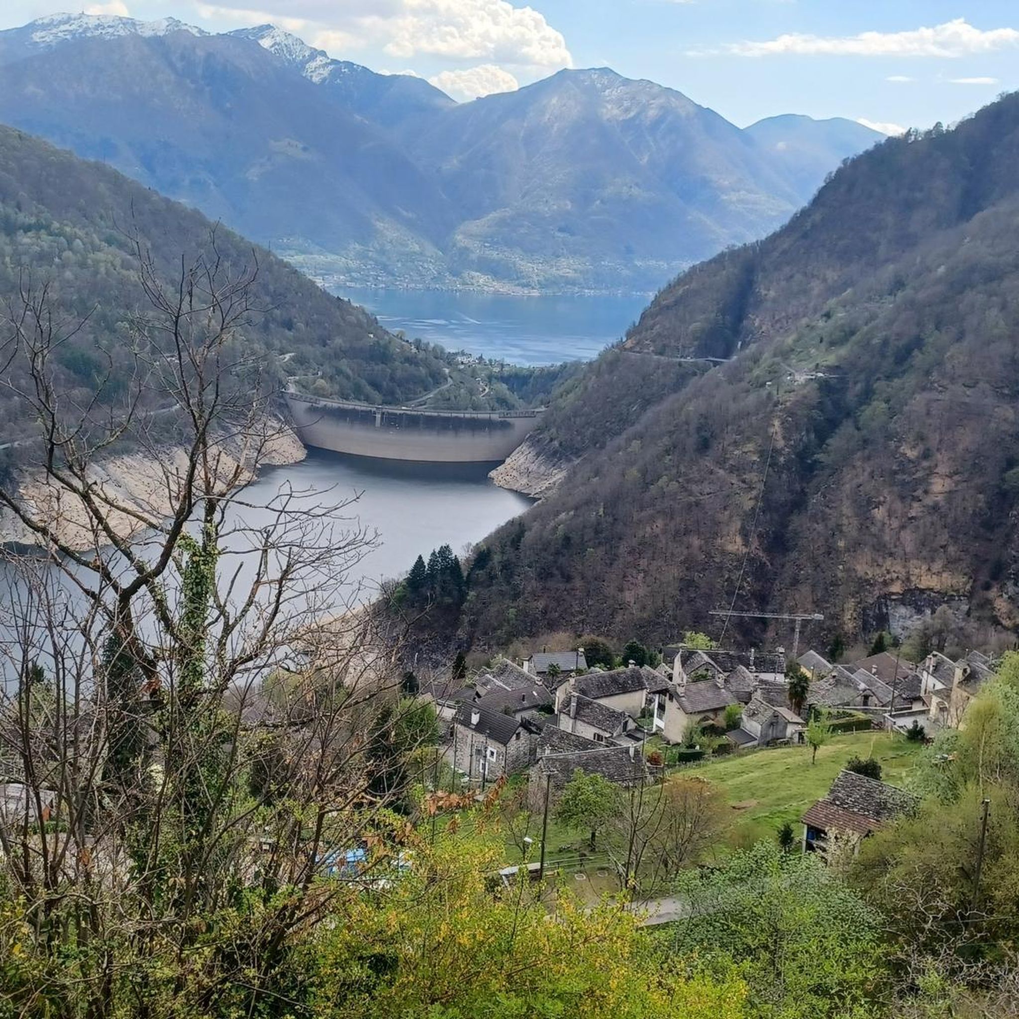
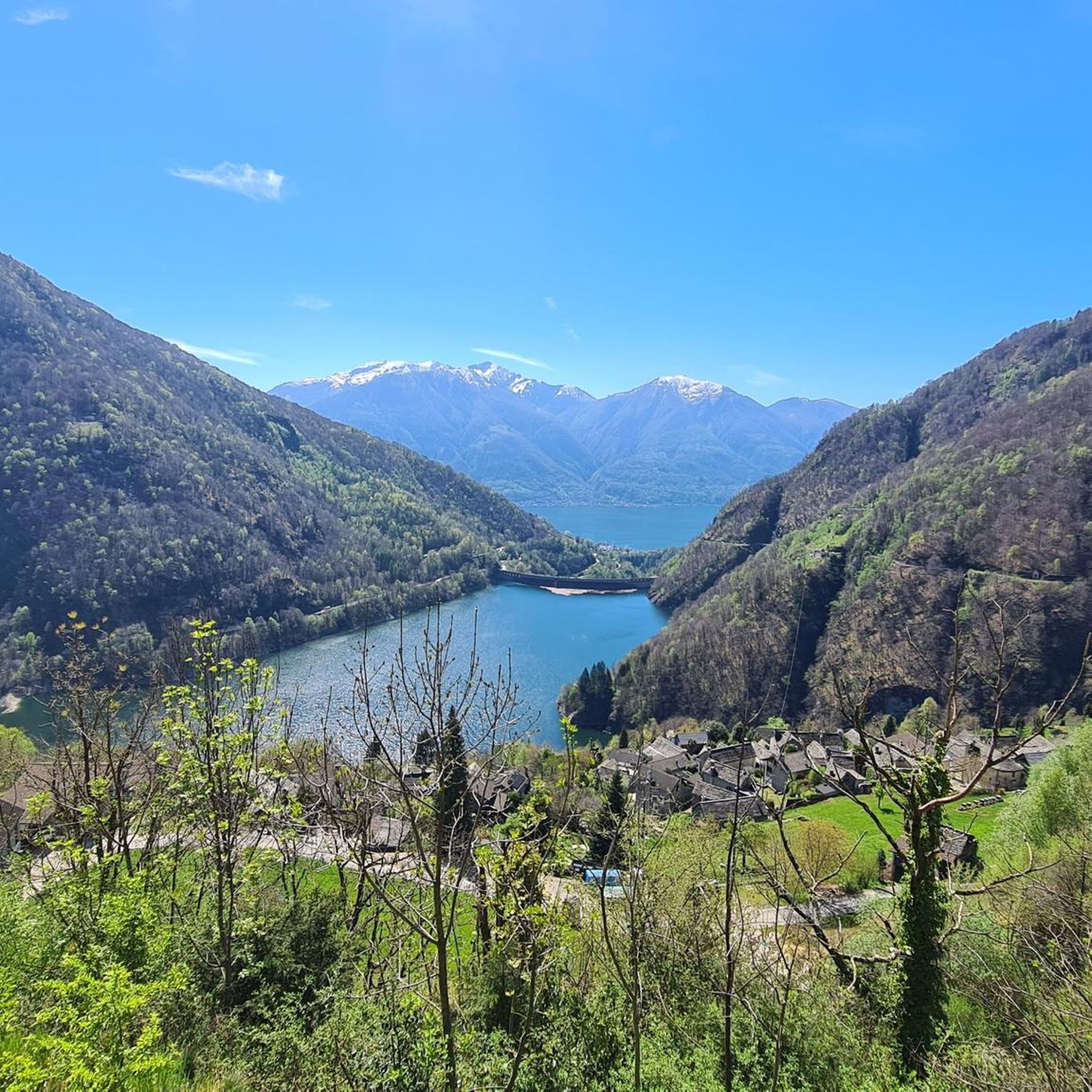
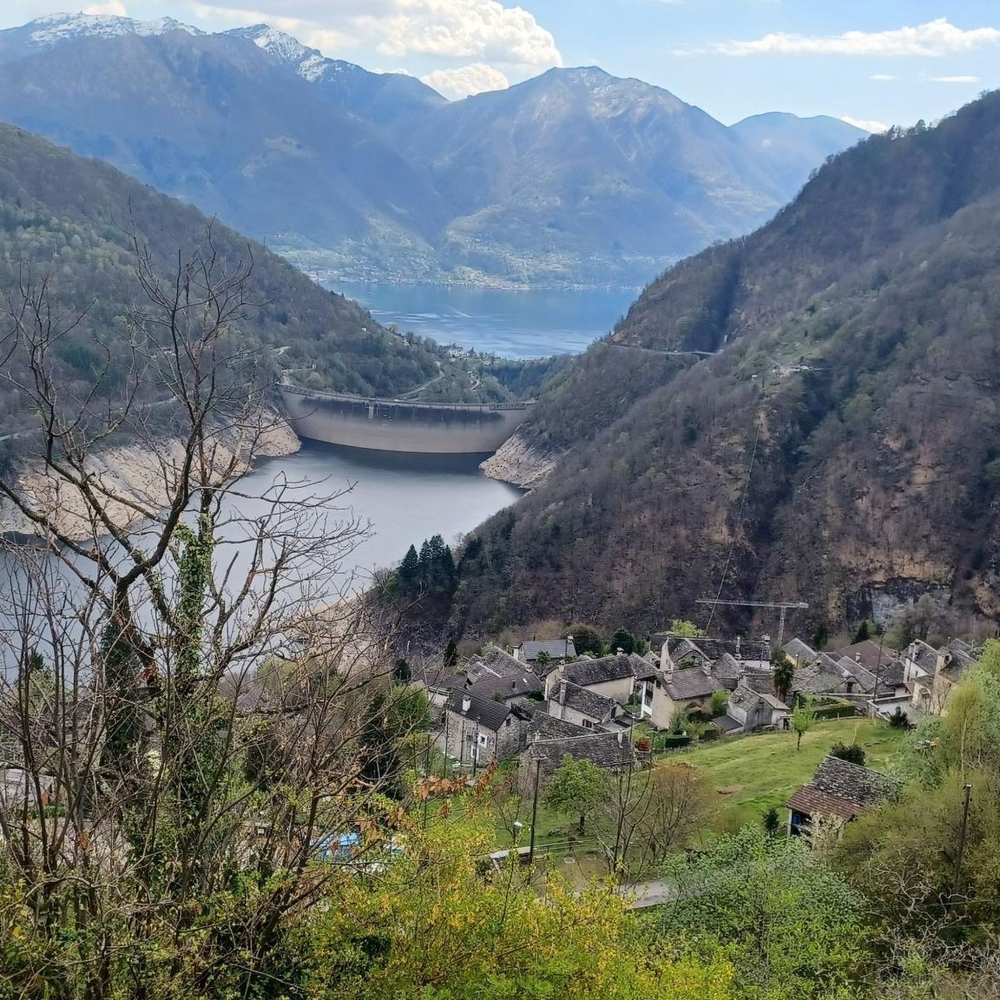
Mountaineering around Mergoscia offers challenging routes within a rugged, steep, and rocky alpine environment in the Ticino canton. The region is characterized by dramatic landscapes, providing panoramic views overlooking Lake Vogorno and the northern end of Lake Maggiore. Situated at the entrance to the Verzasca Valley, the area features demanding hikes and ridge walks, often involving scrambling.
Best mountaineering routes around Mergoscia
- The most popular mountaineering route is Rustico di Cassinella – Pioda Chapel loop from Maggia, a 6.1…
Last updated: July 25, 2026
18
hikers
9.80km
04:26
590m
590m
Moderate mountaineering route. Good fitness required. Mostly accessible paths. Sure-footedness required.
4.0
(2)
12
hikers
9.60km
04:42
730m
730m
Hard mountaineering route. Good fitness required. Sure-footedness, sturdy shoes and alpine experience required.

Sign up for free
1
hikers
15.4km
07:46
1,230m
1,230m
Hard mountaineering route. Very good fitness required. Sure-footedness, sturdy shoes and alpine experience required.
Our route recommendations are based on thousands of hikes, rides, and runs completed by other people on komoot.
Start today with a free account
Your next adventure awaits.
Login or Signup
Tips from the Community

Perfect end after a hike for refreshments. Small menu with soup, polenta, risotto and homemade cake. https://www.montimotti.ch
0
0

Beautiful bathing spot at the far end of the valley
4
0

One of the many wells in town. I'm not sure if it's drinking water.
0
0

The Cugnasco-Monti di Motti road was built as a military road during the First World War. After a 12 km climb on a narrow but well-maintained road, you reach Monti di Motti, a magnificent cluster of houses on a small lake with breathtaking views of the Verzasca Valley, the Magadino Plain, Monte Tamaro and Lake Maggiore. The grotto and the lake make this mountain an ideal destination for families who want to spend a day surrounded by nature. Several interesting excursions start from here, including one to the picturesque Sassariente
1
0

View of Lake Maggiore and the Monte Rosa mountain range
0
0

Beautiful little settlement. An asphalt road leads here. Starting point for challenging MTB descents towards Lago di Vogorno.
0
0
A fountain in the center of Maggia. Whether this is drinking water is unclear. It's located directly in a parking lot. There's a place to stop for refreshments nearby.
0
0

Delicious food and very friendly service
0
0
Frequently Asked Questions
How many mountaineering routes are available around Mergoscia?
There are 9 distinct mountaineering routes available around Mergoscia, offering a range of challenges from moderate to difficult.
What kind of terrain can I expect on mountaineering routes in Mergoscia?
Mergoscia is known for its rugged, steep, and rocky alpine environment. You can expect demanding hikes and ridge walks, often involving scrambling, with significant elevation changes and varied mountain terrain. Sure-footedness and alpine experience are often required.
What natural features or landmarks can I see while mountaineering in Mergoscia?
The routes offer spectacular panoramic views, often overlooking Lake Vogorno and the northern end of Lake Maggiore. You might also encounter features of the Verzasca Valley, known for its emerald-green river. Notable highlights include the Sassariente Summit, and the Verzasca River itself.
Are there any circular mountaineering routes in Mergoscia?
Yes, many routes in Mergoscia are designed as loops. For example, you could try the Rustico di Cassinella – Pioda Chapel loop from Maggia, or the challenging Sassariente Summit Cross loop from Gordola.
Are there routes suitable for beginners or those seeking an easier mountaineering experience?
While Mergoscia is primarily known for its challenging terrain, there are a couple of moderate routes. The Rustico di Cassinella – Pioda Chapel loop from Maggia is a moderate option, as is the Mountaineering loop from Tegna. These still require a good level of fitness but are less demanding than the difficult climbs.
What are some of the more challenging mountaineering routes in the Mergoscia area?
For those seeking a significant challenge, the Sassariente Summit Cross loop from Gordola is a difficult route with expansive vistas. Another demanding option is the Summit Cross Above Alpe Masnée – Alpe Masnée Hut loop from Brione, which features substantial elevation gain. The Ridge Climbing in Ticino – Sassariente Summit Cross loop from Lavertezzo also offers a difficult experience.
What do other mountaineers say about the routes in Mergoscia?
The mountaineering routes around Mergoscia are highly rated by the komoot community, with an average score of 4.4 out of 5 stars from 6 reviews. Over 70 mountaineers have explored these varied and challenging trails, often praising the dramatic landscapes and panoramic views.
Are there any waterfalls near the mountaineering routes in Mergoscia?
Yes, the region is close to the Verzasca Valley, which is known for its water features. You can find highlights like the Ponte Brolla Beach and Waterfall, and a Waterfall with lagoon in Ticino, which are part of the broader 'Waterfalls around Mergoscia' guide.
Is it possible to reach the mountaineering trailheads in Mergoscia using public transport?
Mergoscia, while somewhat remote, can be accessed by public transport, typically involving a bus connection from larger towns in the Ticino canton. It's advisable to check local bus schedules in advance, especially for routes that start directly from the village or nearby access points.
Are there parking options available for mountaineering routes in Mergoscia?
Yes, parking is generally available in Mergoscia village and at various starting points for the mountaineering routes. However, spaces can be limited, especially during peak season, so arriving early is recommended.
What is the best time of year for mountaineering in Mergoscia?
The best time for mountaineering in Mergoscia is typically from late spring through early autumn (May to October), when the weather is more stable and the trails are clear of snow. Summer offers warmer temperatures, but spring and autumn provide pleasant conditions and vibrant scenery. Always check local weather forecasts before heading out.
Are the mountaineering routes around Mergoscia suitable for families?
Given the rugged, steep, and often scrambling-involved terrain, most mountaineering routes in Mergoscia are best suited for experienced hikers with good fitness and sure-footedness. While there might be some easier sections, the overall character of the routes makes them less ideal for young children or families seeking very gentle walks. Consider the moderate routes if your family has significant hiking experience.
Can I bring my dog on the mountaineering trails in Mergoscia?
Many trails in the Mergoscia region are dog-friendly, but due to the challenging and rocky terrain, it's crucial to assess your dog's fitness and ability to handle steep ascents, descents, and potential scrambling sections. Always keep dogs on a leash, especially in alpine environments, and ensure they are well-hydrated.
Most popular routes around Mergoscia
Most popular attractions around Mergoscia

Get inspired with the komoot mobile app


Explore more
Browse the best Mountain Hikes & Routes in other regions.
