The best mountain hikes around Cevio
5.0
(1)
32
hikers
2
hikes
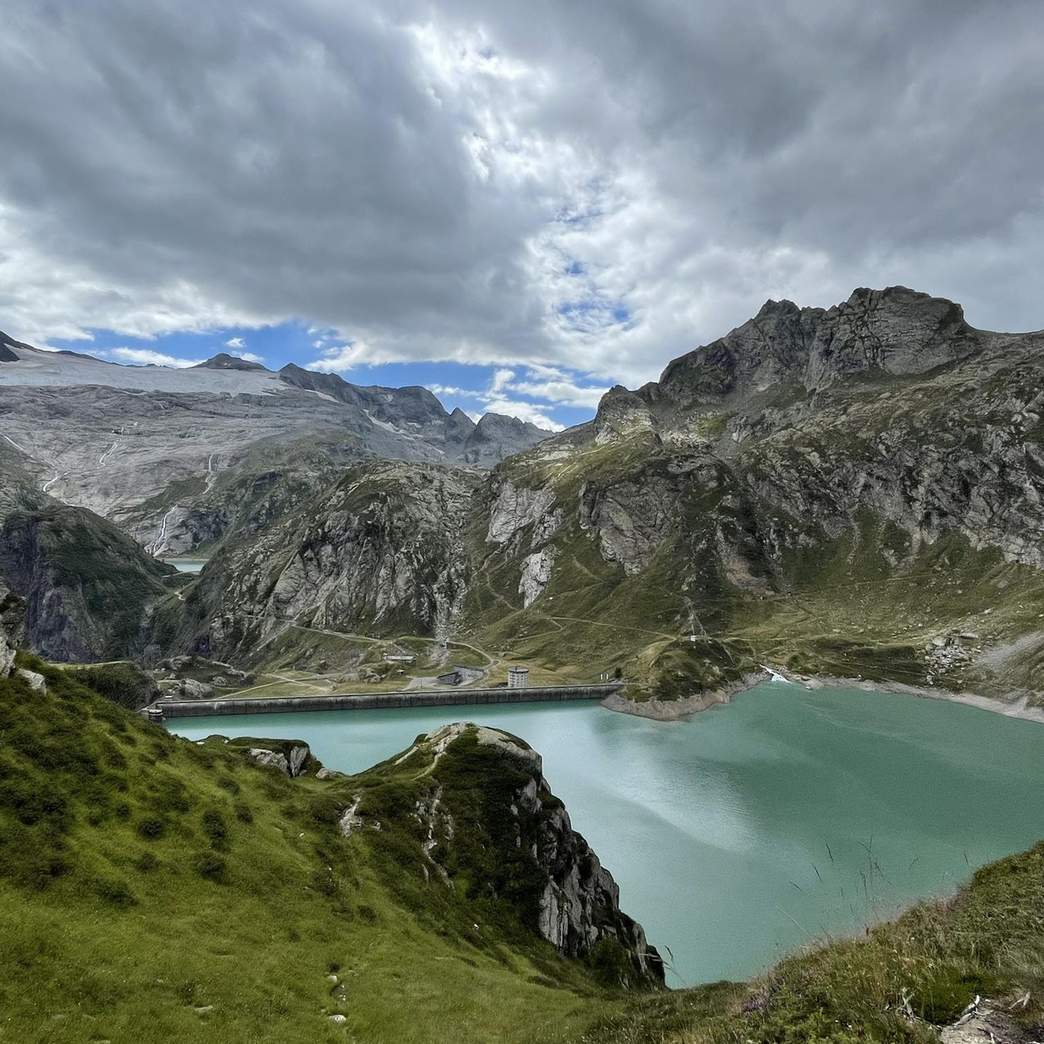
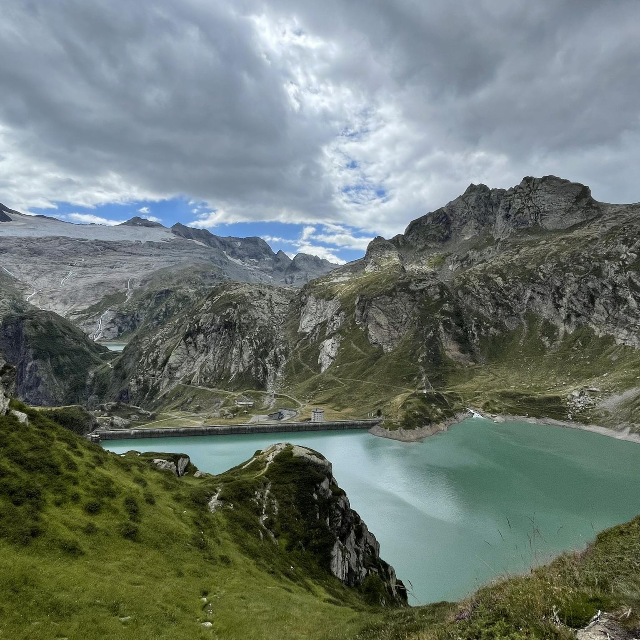
Mountaineering routes around Cevio are set within the stunning alpine landscapes of the Vallemaggia region in Ticino, Switzerland. This area, part of the Ticino Alps, features towering peaks, dramatic rock formations, and deep valleys. The terrain is characterized by a mix of lush meadows, rugged ascents, and crystal-clear lakes, offering a diverse environment for alpine exploration.
Best mountaineering routes around Cevio
- The most popular mountaineering route is Rustico di Cassinella – Pioda Chapel loop from Maggia, a 6.1 miles…
Last updated: October 1, 2026
18
hikers
9.80km
04:26
590m
590m
Moderate mountaineering route. Good fitness required. Mostly accessible paths. Sure-footedness required.
6
hikers
15.3km
06:47
800m
810m
Hard mountaineering route. Very good fitness required. Sure-footedness, sturdy shoes and alpine experience required.

5
hikers
8.87km
03:31
570m
570m
Moderate mountaineering route. Good fitness required. Mostly accessible paths. Sure-footedness required.
5.0
(1)
3
hikers
7.29km
02:35
430m
430m
Moderate mountaineering route. Good fitness required. Easily-accessible paths. Suitable for all skill levels.
Our route recommendations are based on thousands of hikes, rides, and runs completed by other people on komoot.
Start today with a free account
Your next adventure awaits.
Popular around Cevio
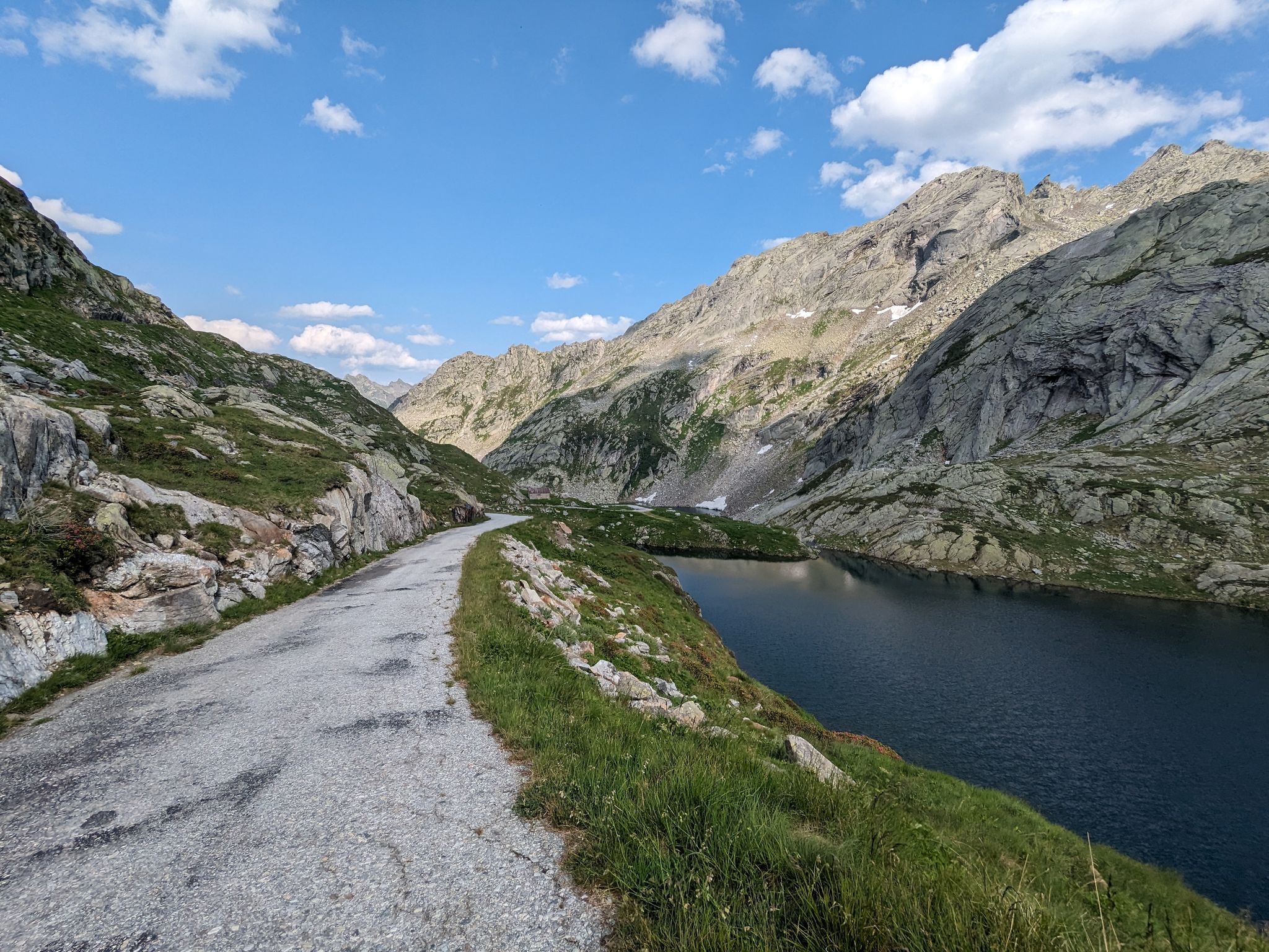
Great passes and green valleys – Ticino climbs
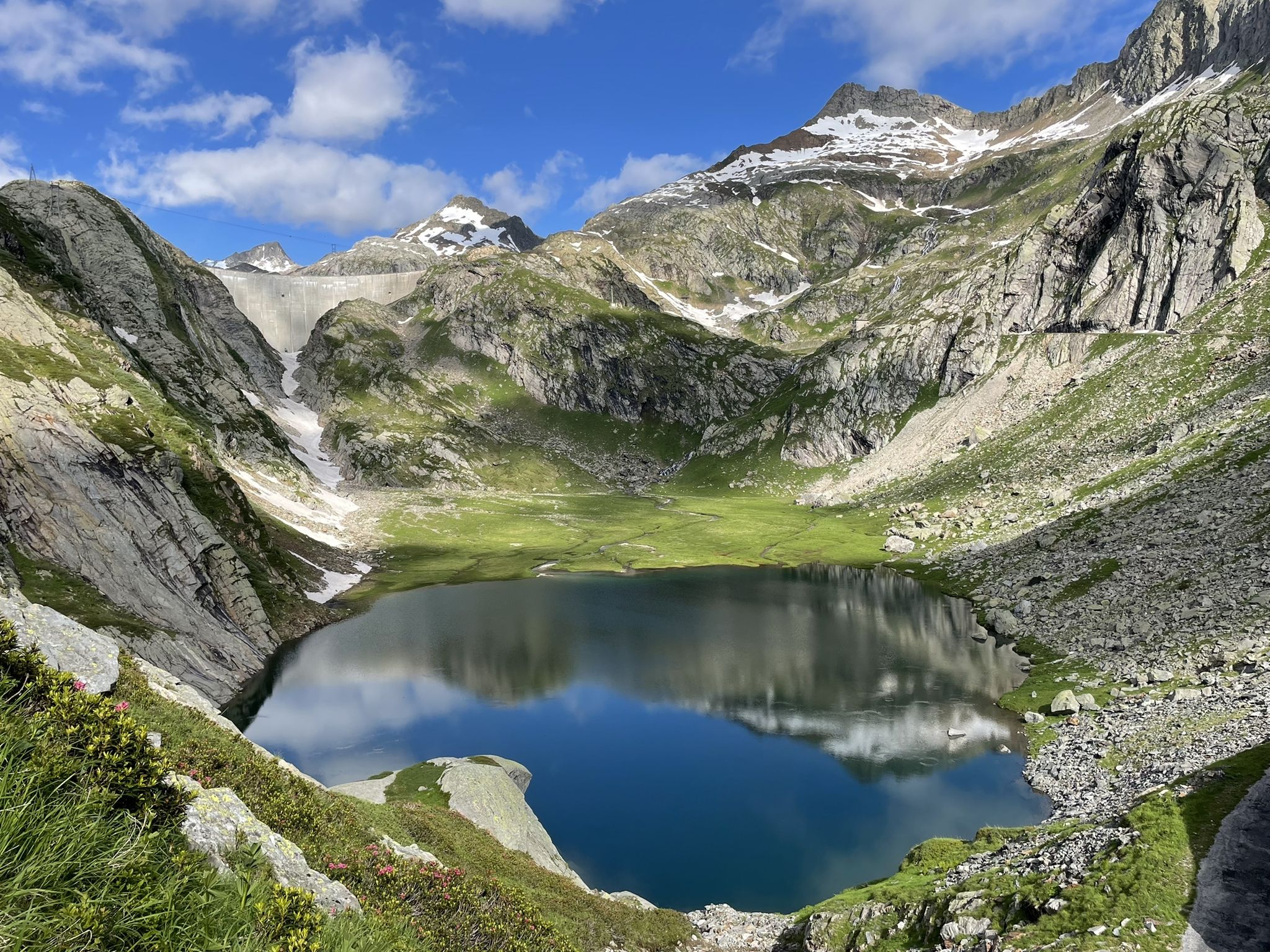
Sentiero Cristallina – 3 days through the mountains of Ticino
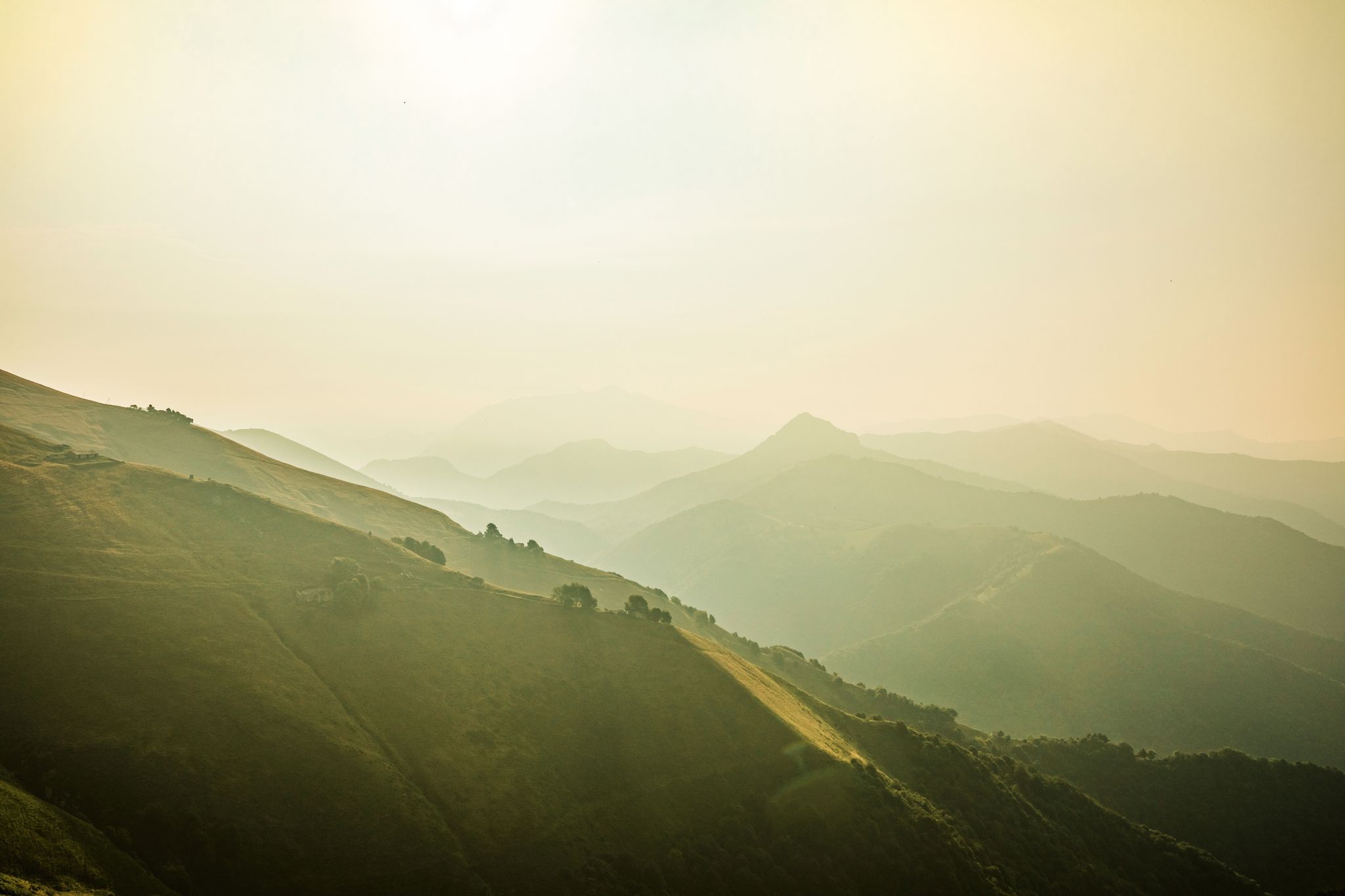
Ticino — Between heaven and formaggini
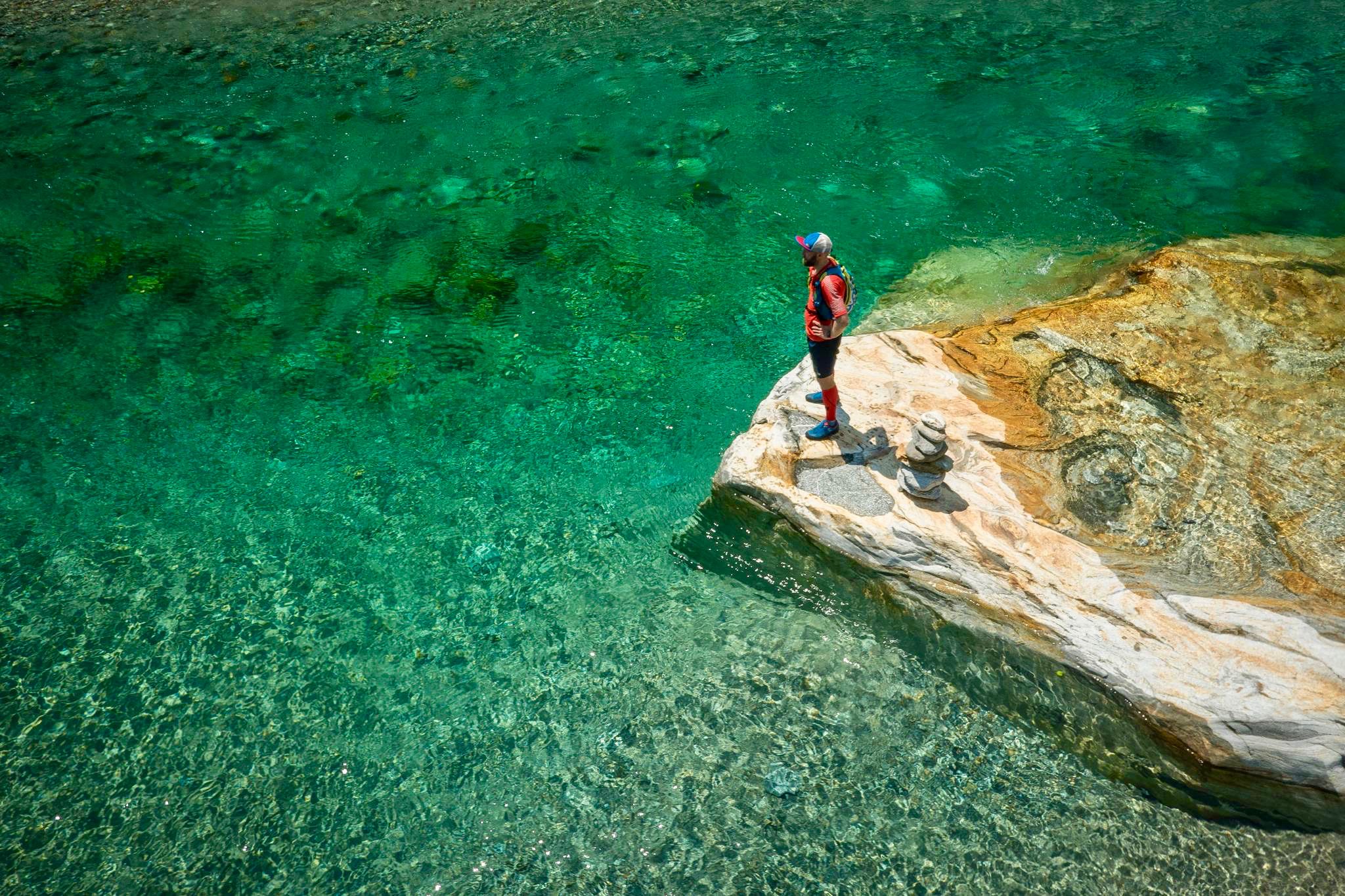
5 trails to run before you die - Ascona-Locarno
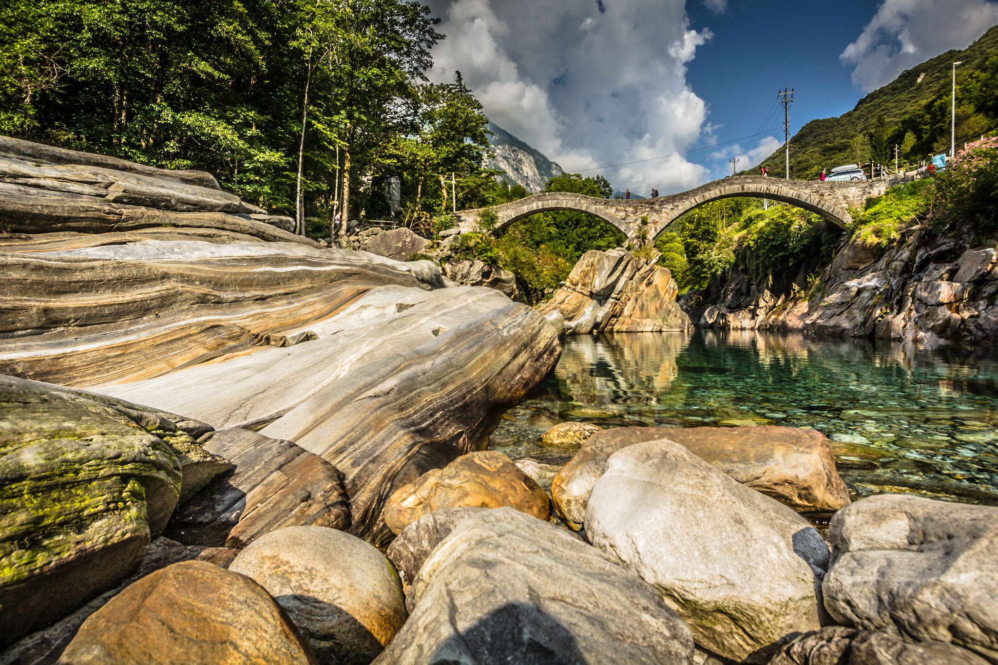
From palm trees to glaciers
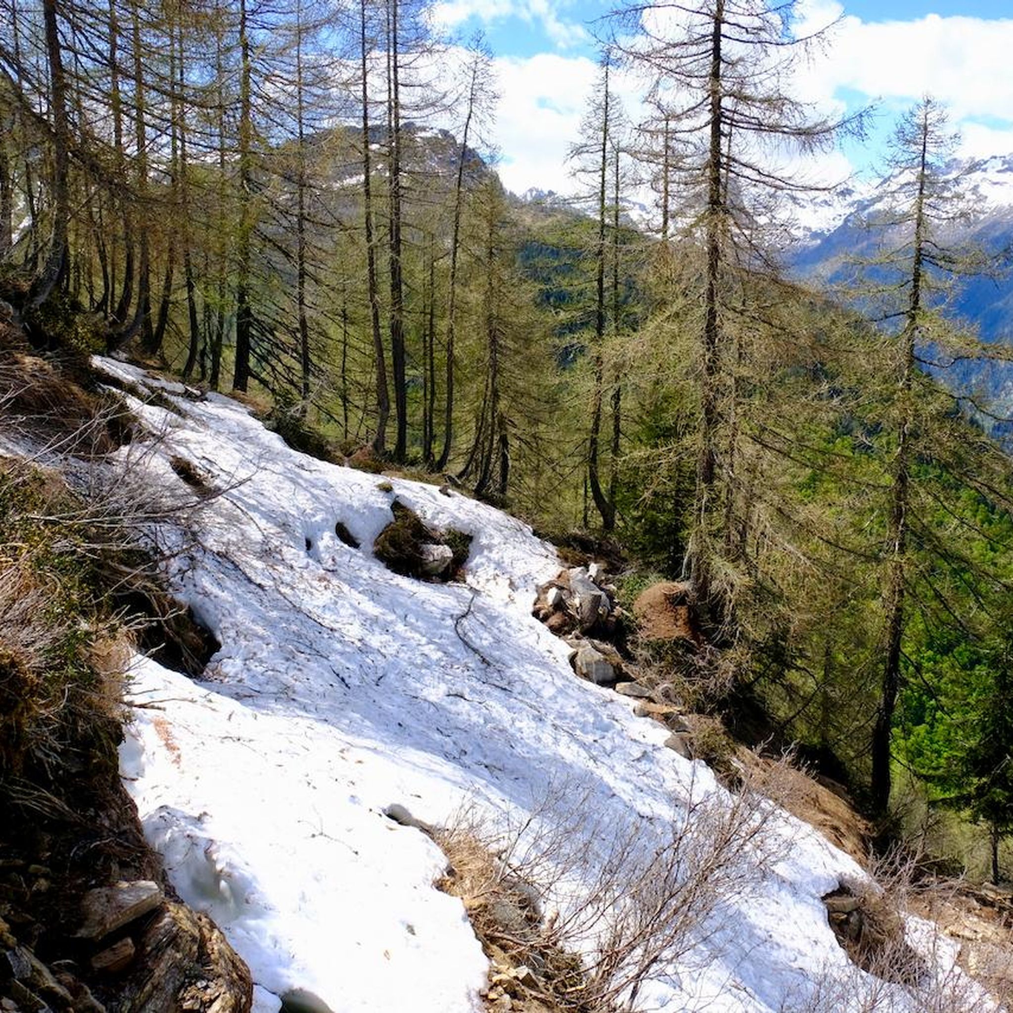
Hiking around Cevio
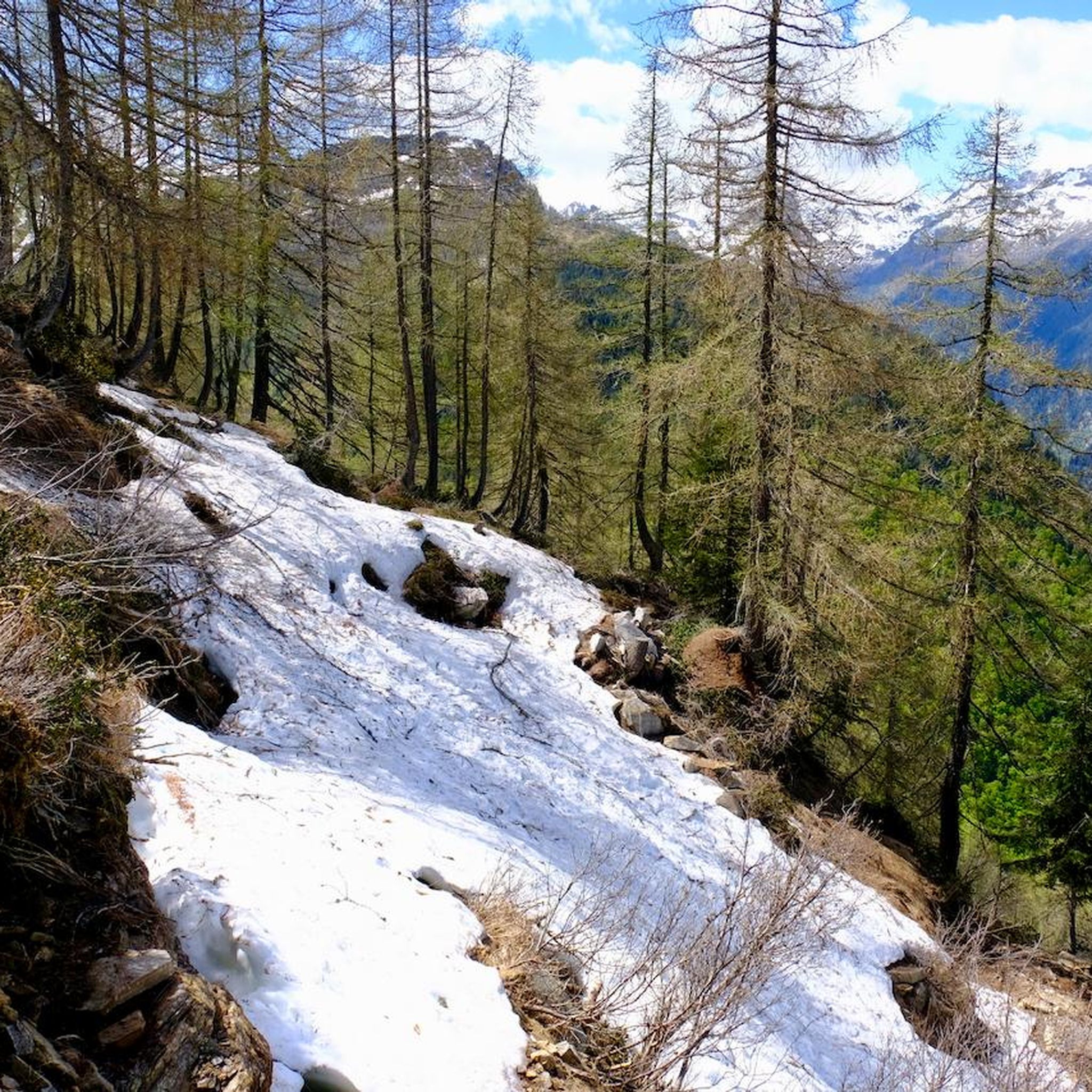
Road Cycling Routes around Cevio
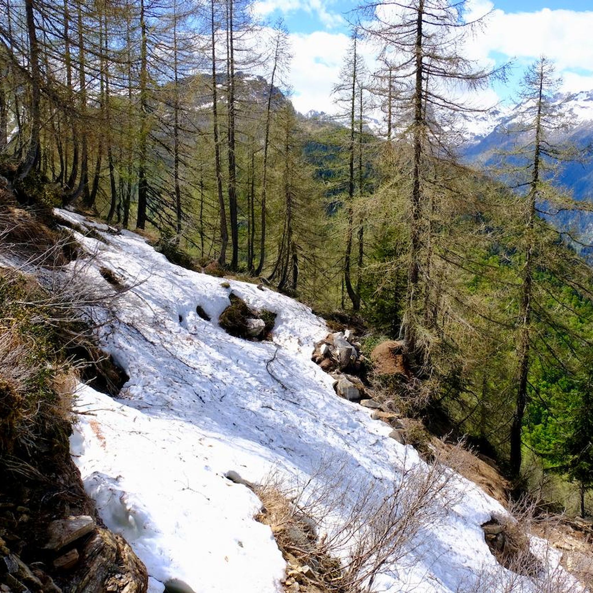
MTB Trails around Cevio
Running Trails around Cevio
Cycling around Cevio
Other adventures around Cevio


Tips from the Community

pretty here, very pretty
0
0

The Tremola San Gottardo is your accommodation at the foot of the Tremola in Airolo. The house on the old Gotthard Pass road is perfectly located at the beginning of what is probably the most bike-romantic alpine road in Ticino (or Switzerland?). Cycling enthusiasts will find a workshop with small parts and spares, a locked bike storage room, an information point offering maps and bikes for rent, as well as a laundry service for sportswear and a charging station for e-bikes at Bed&Bike. After your bike tour, you can refresh yourself with a drink at the bar or enjoy one of the simple dishes made with local ingredients. More info: https://www.bellinzonaevalli.ch/de/hotels/details/Bed-Bike-Tremola-San-Gottardo/110242.html.
0
0

Beautiful bathing spot at the far end of the valley
4
0
Frequently Asked Questions
What kind of terrain can I expect on mountaineering routes around Cevio?
The mountaineering routes around Cevio traverse the stunning alpine landscapes of the Vallemaggia region in the Ticino Alps. You'll encounter a diverse mix of towering peaks, lush meadows, dramatic rock formations, and deep valleys. Expect rugged ascents, crystal-clear lakes, and varied terrain suitable for alpine exploration.
Are there any circular mountaineering routes in the Cevio area?
Yes, several routes offer a circular experience. For a moderate option, consider the Rustico di Cassinella – Pioda Chapel loop from Maggia, which covers about 9.8 km. If you're seeking a more challenging circular trek, the Pizzo Cristallina Summit loop from Ossasco is a difficult 17.4 km path offering extensive alpine views. Another difficult circular option is the Idyllic Valley – Bocchetta del Lago Nero loop from Il Madone, spanning 15.1 km.
What are some of the natural features or landmarks I can see along the mountaineering routes near Cevio?
The Vallemaggia region is rich in natural beauty. You can discover impressive waterfalls like the Froda Waterfall and the Toce Waterfall. There are also beautiful lakes such as Lake Toggia. The area is characterized by its dramatic alpine scenery, including towering peaks and unique geological formations from the Ticino Alps.
Are there any family-friendly mountaineering options around Cevio?
While many mountaineering routes in the region are challenging, there are options suitable for those with good fitness levels looking for less strenuous alpine experiences. For example, the View of Airolo loop from Airolo is a moderate 7 km route that offers alpine views without extreme difficulty, making it a good choice for families accustomed to hiking.
What is the best time of year for mountaineering in Cevio?
The best time for mountaineering in the Cevio region, like much of the Swiss Alps, is typically during the warmer months, from late spring to early autumn (June to September). During this period, snow has usually melted from higher elevations, and weather conditions are generally more stable, making trails more accessible and safer. Always check local weather and trail conditions before heading out.
How can I reach the starting points of mountaineering routes around Cevio using public transport?
The Vallemaggia region has some public transport options, though access to specific trailheads can vary. For routes starting from areas like Airolo, you can often find bus connections. For example, the Airolo–Pesciüm Cable Car can provide access to higher elevations. It's advisable to check local bus schedules and cable car operating times in advance, especially for more remote starting points.
Are there any moderate mountaineering routes for those with some experience but not looking for extreme challenges?
Absolutely. The Rustico di Cassinella – Pioda Chapel loop from Maggia is a moderate 9.8 km route that offers varied terrain through the Vallemaggia. Another moderate option is the Lago del Zött – Robiei loop from Lago dei Cavagnöö, which is about 8.9 km and provides beautiful alpine scenery.
What are the most challenging mountaineering routes available near Cevio?
For experienced mountaineers seeking a challenge, the Pizzo Cristallina Summit loop from Ossasco is a difficult 17.4 km path that leads to the summit, offering extensive alpine views. Another demanding option is the Idyllic Valley – Bocchetta del Lago Nero loop from Il Madone, a difficult 15.1 km trail through an idyllic valley and past alpine passes.
What do other mountaineers say about the routes in Cevio?
The mountaineering routes around Cevio are highly rated by the komoot community, with an average score of 5.0 stars. Users often praise the stunning alpine landscapes, the diverse natural features, and the immersive experience amidst the Ticino mountains.
Are there any specific permits required for mountaineering in the Vallemaggia region, especially for mountain huts like Capanna Cristallina?
While general hiking in Vallemaggia typically doesn't require permits, staying overnight in mountain huts like Capanna Cristallina or Rifugio Maria Luisa often requires advance booking and payment. It's always recommended to check with the specific hut or local alpine club for their reservation policies and any potential local regulations, especially during peak season.
Can I find places to eat or stay near the mountaineering routes in Vallemaggia?
The Vallemaggia region features quaint stone villages that may offer local cafes and accommodation. Additionally, mountain huts such as Rifugio Maria Luisa and Capanna Cristallina provide essential support infrastructure for multi-day treks, offering shelter and meals. It's advisable to research specific villages or huts along your chosen route for available services.
Most popular attractions around Cevio

Get inspired with the komoot mobile app


Explore more
Browse the best Mountain Hikes & Routes in other regions.
